Mori Atlas logo
Park earthquake history

Review documented seismic activity and epicenter data near the limestone plateaus of Burgos

Recorded Earthquake History for the Sabinares del Arlanza-La Yecla Protected Landscape

The recorded seismic catalogue for Sabinares del Arlanza-La Yecla provides an archival view of earthquake events located within the vicinity of this significant natural area. This documentation catalogs historical events by date, magnitude, depth, and distance from the park territory, utilizing standardized geological data sources to present a clear picture of historical ground movement in the Burgos province region.

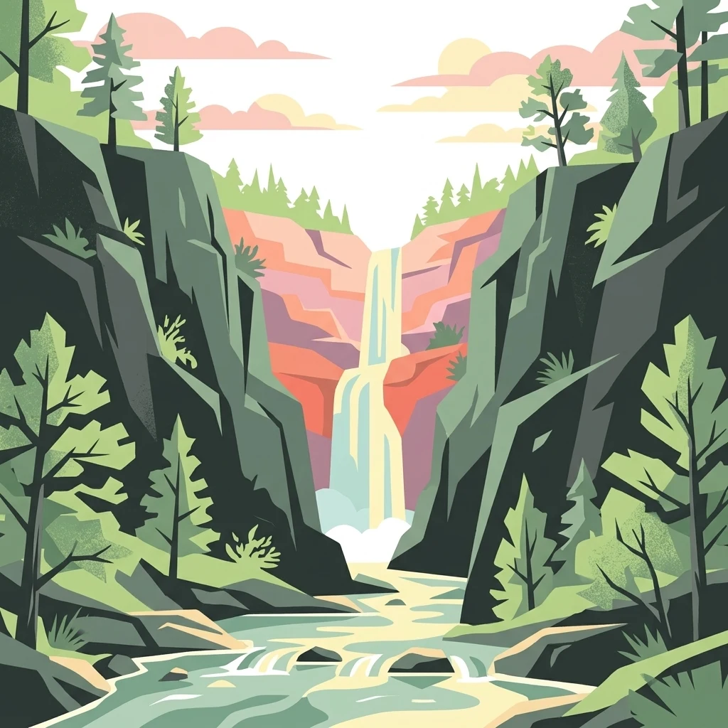
A flat-style digital illustration of a waterfall flowing between steep, rocky canyon walls flanked by evergreen trees.

A protected Castilian landscape of ancient juniper forests, limestone gorges, and raptor-rich cliffs.

Sabinares del Arlanza-La Yecla

Sabinares del Arlanza-La Yecla is a natural park in the south of Burgos province, in the autonomous community of Castile and León in north-central Spain. It covers a large area south of the Sierra de la Demanda, stretching across the transition between the Arlanza and Demanda comarcas, and lies very close to the Cañón del Río Lobos Natural Park. The park was formally declared as a natural park on 14 December 2020 under regional Law 4/2020. The protected landscape is defined by alternating limestone plateaus, deep folds, and narrow gorges cut into the calcareous bedrock. It is one of the most important areas in Europe for Spanish juniper (Juniperus thurifera), locally known as sabina, with some specimens estimated to be more than two thousand years old. Oak, Scots pine, rebollo (Quercus pyrenaica), and quejigo woodlands, together with riverside vegetation along the Arlanza River, give the park a rich Mediterranean and supramediterranean forest character. The rocky cliffs and ravines of the park host a notable community of cliff-nesting raptors, including griffon vulture, Egyptian vulture, golden eagle, peregrine falcon, and eagle-owl. The territory overlaps substantially with a Special Protection Area for Birds (ZEPA) classified in 2000, reflecting both its ecological value and its importance for bird conservation in Spain and across the wider region.

Location
Spain
Park type
Protected landscape
Established
2020
Area
391.7 km²
Sabinares del Arlanza-La Yecla Protected Landscape

Search Sabinares del Arlanza-La Yecla events by distance

Review past earthquakes near Sabinares del Arlanza-La Yecla

Earthquakes near Sabinares del Arlanza-La Yecla are associated with the protected landscape by epicentre and calculated distance, not asserted as occurrences inside it. Review dates, magnitudes, depths, reported places, distance measures, and records without presenting its natural features as seismic causes, estimating current hazard, or projecting future earthquakes.

Sort by
Magnitude
Location

This page describes catalogued earthquakes associated with the park by epicentre location and distance. It does not establish causation, assess current danger, or predict future earthquakes.

No earthquake records match the current filters

Park atlas

Continue from ancient junipers and limestone gorges to other parks

Further park profiles beyond Sabinares del Arlanza-La Yecla

Sabinares del Arlanza-La Yecla sets its earthquake evidence within a Castilian natural park of old juniper woodland, narrow limestone gorges, and raptor cliffs. The onward collection introduces separate landscapes, without implying common ecology, Spanish designation, geology, seismic behaviour, nearby geography, hazard, or equivalent documentation.
Biosphere reserveLa Rioja
63 km away#1 closest

East

Valles del Jubera, Leza, Cidacos y Alhama: Protected Landscapes in La Rioja, Spain

A biosphere reserve featuring limestone gorges and dinosaur fossil sites

Valles del Jubera, Leza, Cidacos y Alhama forms a distinct mid-mountain region in northern Spain where four river valleys have carved deep passages into the earth. The area serves as a vital protected landscape containing rich paleontological history, thermal springs, and traditional Mediterranean forests. This atlas entry details the natural boundaries and geographic character of one of Spain's significant biosphere reserves.

Area
1,196.69 km²
Established
2003
Watercolor painting of a rolling green mountainous landscape featuring soft hills and a foreground meadow.
Biosphere reserveMadrid
82 km away#2 closest

South

Sierra del Rincón Biosphere Reserve: Mountain Geography and Protected Landscape Analysis

Transitional mountain terrain in the Sierra Norte region of Madrid

Sierra del Rincón provides a unique study of ecological compression, where Atlantic-flavored beech groves meet Mediterranean oak and highland shrublands. This protected mountain territory in Madrid integrates rich forest habitats with traditional agro-silvopastoral village life, making it a critical reference for understanding the transitional geography of the Iberian Central System.

Area
152.31 km²
Established
2005
Relief
Mountain
Climate
Alpine
Watercolor illustration depicting a mountain range, river, and green vegetation under a light sky
National parkSpain
97 km away#3 closest

South

Sierra de Guadarrama National Park: Protected Area Landscape and Geographic Context

Explore diverse high Mediterranean mountain terrain and ecosystems.

Sierra de Guadarrama National Park is a significant protected national park in central Spain, characterized by its extensive granite landscapes and eleven distinct ecosystems. This park protects crucial high Mediterranean mountain environments, ancient pine forests, and dramatic glacial formations. Its geographic position within the Sistema Central makes it essential for understanding the regional geography and mapped terrain of the Iberian Peninsula, offering a unique look at a vital protected landscape.

Area
339.6 km²
Established
2013
IUCN
II
Visitors
3M annual
Biosphere reserveBasque Country
141 km away#4 closest

North

Reserva de la biosfera de Urdaibai: Protected Coastal and Estuarine Geographic Atlas

Mapping wetlands, forests, and cliffs in the Basque Country

Explore the complex terrain of Reserva de la biosfera de Urdaibai, spanning the tidal Oka estuary to the peaks of Mount Oiz. This protected landscape is defined by its vast saltmarshes, Cantabrian oak forests, and dramatic coastal cliffs that anchor the natural geography of the Basque Country.

Area
224.52 km²
Established
1984
Relief
Mixed relief
Climate
Temperate
Watercolor illustration of a mountain landscape with green forests and a body of water.
National parkSpain
143 km away#5 closest

Northwest

Picos de Europa National Park: Dramatic Limestone Peaks and Protected Landscape Atlas

Explore Spain's historic national park and UNESCO Biosphere Reserve.

Picos de Europa National Park offers an unparalleled exploration of dramatic limestone peaks, deep glacial valleys, and extensive Atlantic forests. As Spain's oldest national park and a UNESCO Biosphere Reserve, it presents a remarkable study in karst landscape evolution and biodiversity conservation. This protected area, spanning significant territory across northern Spain, provides a rich geographic context for understanding regional natural heritage and mapped natural features.

Area
671.27 km²
Established
1918
IUCN
II
Relief
Mountain
Marine protected areaAsturias
207 km away#6 closest

Northwest

El Cachucho Marine Protected Area: Submarine Seamount and Cantabrian Sea Geography

Offshore protected landscapes and deep sea terrain mapping

El Cachucho represents a critical offshore protected area, defined by its massive seamount structure and proximity to the Asturian coastline. This marine habitat encompasses a complex array of geomorphological features, including rocky escarpments and submarine canyons that channel sediment across the narrow northern Iberian shelf, offering a detailed perspective on deep sea environmental architecture.

Area
57 km²
Relief
Upland
Climate
Temperate
Access
Remote access
Nature reserveNouvelle-Aquitaine
About 215 km away#7 closest

Northeast

Réserve naturelle régionale d'Errota Handia: Protected Wetland and Basque Geographic Atlas

Examining the ecological terrain of a historic French millpond reserve

Explore the structured geography of Réserve naturelle régionale d'Errota Handia, a compact but ecologically significant nature reserve in the Pyrénées-Atlantiques. This resource provides a detailed look at the park boundaries, wetland-woodland mosaic, and the historic hydraulic infrastructure that defines this unique Basque landscape, offering an essential perspective for understanding regional conservation in southwestern France.

Area
0.095 km²
Established
2001
IUCN
IV
National parkHautes-Pyrénées
237 km away#8 closest

East

Pyrénées National Park: Protected Landscape & Transboundary Protected Area Atlas

Discover Hautes-Pyrénées' dramatic glacial terrain and alpine environments.

Pyrénées National Park is a significant protected area in France's Hautes-Pyrénées department, renowned for its dramatic glacial cirques, high-altitude lakes, and extensive mountain landscapes. Established as a national park, it offers rich geographic context for atlas exploration, showcasing millions of years of geological formation shaped by tectonic uplift and glacial carving. This park is also notable for its transboundary conservation efforts with Spain, contributing to a broader protected region. Explore its unique terrain, from towering limestone formations to alpine meadows, and understand its place within the Pyrenean mountain range.

Area
458 km²
Established
1967
IUCN
II
Relief
Mountain
MoriAtlas Explorer

Continue Exploring the Protected Landscape of Sabinares del Arlanza-La Yecla

Delve deeper into the complex terrain and mapped geography of this unique Spanish protected area. MoriAtlas provides a clear view into the ancient juniper woodlands and limestone canyons that define the ecological status and natural character of the Sabinares del Arlanza-La Yecla landscape.