
Mori Atlas logo
Nearby park discovery

A geographic comparison of surrounding protected landscapes and maritime zones

National Parks and Protected Areas Situated Near the Sarangani Bay Coastal Seascape

Analyze the spatial distribution of protected natural areas surrounding Sarangani Bay in southern Mindanao. This mapped overview provides context for coastal seascapes, regional protected lands, and the broader geographic terrain located near this significant Philippines national park.

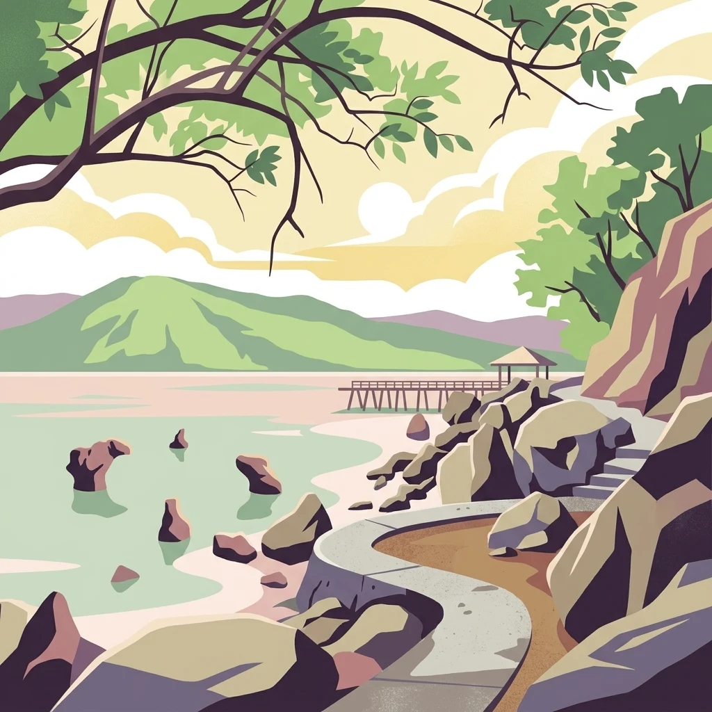
A stylized digital illustration showing a winding path along a rocky shoreline leading toward a wooden pier extending into a calm bay, with distant green hills under a soft sky.

A protected seascape at the southern tip of Mindanao, opening onto the Celebes Sea.

Sarangani Bay

Sarangani Bay is a coastal inlet on the southern tip of Mindanao in the Philippines. It opens westward onto the Celebes Sea, part of the broader Pacific Ocean system, and stretches roughly 33 kilometers from north to south and about 16 kilometers across at its widest point. General Santos, one of the country's most important cities and a major port, sits at the head of the bay, giving the area significant economic activity alongside its natural character. The bay was declared a national park under Republic Act No. 11038, the Expanded National Integrated Protected Areas System Act of 2018, signed by President Rodrigo Duterte in July 2018. This designation placed Sarangani Bay among the Philippines' officially recognized protected seascapes, formalizing its conservation status alongside its continuing role as a working maritime zone. The bay gives its name to the Province of Sarangani, which was created in 1992 and faces the water along its coastline. The combination of a busy port, surrounding municipalities such as Glan, Alabel, Maasim, and Malapatan, and newly recognized protected-area status makes Sarangani Bay a place where industrial shipping activity and coastal conservation coexist.

Location
Philippines
Park type
National park
Established
2018
Explore Sarangani Bay National Park Atlas
Regional park map

See the ranked park cluster in its geographic setting

Nearby parks around Sarangani Bay

This regional map shows the same 20 nearby parks ranked below around Sarangani Bay. Select a ranked marker to highlight that park’s boundary where boundary data is available.
Reference park: Sarangani BayRanked nearby park20 nearby parks shown
20 nearby parks

Distance-ranked protected landscapes and regional park geography across southern Mindanao

Parks and Protected Areas Geographically Near Sarangani Bay

Geographic separation metrics organize parks near Sarangani Bay into a structured comparison of surrounding protected landscapes. Country context and recorded environmental attributes reveal broader regional patterns across nearby coastal and terrestrial terrain.
A horizontal watercolor painting showing a calm lake in the foreground with lush green hills and distant mountain ridgelines in the background.
Protected areaMaguindanao del Sur
About 84 km away#1 closest

Northwest

Lake Buluan Protected Area: An Atlas Guide to Mindanao Lowland Freshwater Landscapes

Geography and hydrological map of the Maguindanao del Sur wetlands.

Lake Buluan represents a vast, shallow freshwater system known for its extensive marshes and role as a central basin for multiple Mindanao river tributaries. As a protected landscape in Maguindanao del Sur, it offers a distinct look at lowland hydrological patterns, floodplain dynamics, and the cultural history associated with the region's inland water resources.

Area
61.34 km²
Relief
Lowland
Water
Water-dominated
A watercolor illustration of a mountain range with green, yellow, and soft pink hues, featuring rolling hills and forested slopes in a panoramic format.
National parkPhilippines
About 94 km away#2 closest

North

Mount Apo Natural Park: Volcanic Terrain and Biodiversity in Mindanao, Philippines

Mapping the highest peak and endemic-rich montane ecosystems

Spanning the provinces of Davao del Sur and Cotabato, Mount Apo Natural Park protects the volcanic massif of Mount Apo and its extensive forest surroundings. The park exhibits a distinct altitudinal zonation that supports a significant concentration of endemic birds, mammals, and plant life. Beyond its ecological relevance, the area features dramatic volcanic ridges, cascading waterfalls, and the high-elevation Lake Venado, forming a vital component of the regional natural heritage network in the southern Philippines.

Area
640.53 km²
Established
2004
Relief
Mountain
Climate
Tropical
Marine protected areaDavao Oriental
About 153 km away#3 closest

Northeast

Pujada Bay Protected Seascape: Marine Protected Area and Coastal Landscape in Davao Oriental

Coastal geography and protected marine ecosystems of Mindanao

Pujada Bay Protected Seascape serves as a primary coastal sanctuary along the Davao Oriental shoreline. Defined by the convergence of mountain-fed rivers, mangrove forests, and coral reef habitats within a semi-enclosed bay, this protected area offers a deep look into the marine geography of the Philippine archipelago.

Area
212 km²
Established
1994
Relief
Mixed relief
Access
Access unknown
National parkMaguindanao del Norte
About 171 km away#4 closest

Northwest

Mado Hot Spring National Park: Protected Geothermal Landscape in Maguindanao del Norte

Explore its therapeutic hot springs and mapped boundaries

Mado Hot Spring National Park, located in Maguindanao del Norte, Philippines, is a protected area defined by its geothermal features and therapeutic hot springs. This national park, established early in the Philippines' conservation history, offers a unique landscape centered around a warm mineral-rich natural pool. Delve into the geographic context and protected area identity of this distinctive site, understanding its role within the region's natural heritage.

Area
0.48 km²
Established
1939
IUCN
II
Scope
Terrestrial
National parkLanao del Sur
About 229 km away#5 closest

North

Salikata National Park: Explore Philippines National Park Geography

Mapped protected area boundaries and regional context.

Investigate Salikata National Park, a key protected area designated as a national park within Lanao del Sur, Philippines. This detailed view provides essential context for understanding its mapped boundaries, its place in the regional geography, and its significance as a protected landscape. Discover the unique geographic attributes that define Salikata National Park for atlas-based exploration.

Established
1965
IUCN
V
Relief
Mountain
Climate
Tropical
National parkLanao del Sur
About 230 km away#6 closest

North

Rungkunan National Park: Mapped Protected Landscape and Regional Geography Overview

Discover Rungkunan National Park's protected boundaries and landscape context.

Gain insight into Rungkunan National Park, a protected national park situated in Lanao del Sur. This page details the park's geographic positioning, mapped outlines, and its significance as a conservation landscape. It provides essential context for understanding the distribution of protected areas and the regional geography of the Philippines, facilitating a deeper atlas-style exploration.

Established
1965
IUCN
V
Water
Minor water
National parkLanao del Sur
About 236 km away#7 closest

North

Lake Butig National Park: National Park Atlas and Geographic Discovery in Lanao del Sur

Discover its mapped boundaries and regional landscape context.

Lake Butig National Park is a protected national park in the Philippines, located within Lanao del Sur. This entry provides specific geographic information and supports atlas exploration by detailing the park's mapped boundaries and its place within the regional landscape. Understand the terrain and protected area context crucial for geographic study and understanding Philippine natural landscapes.

Area
0.68 km²
Established
1965
IUCN
V
Relief
Mountain
National parkLanao del Sur
About 236 km away#8 closest

North

Pantuwaraya Lake National Park: National Park Atlas and Mapped Landscape

Explore the protected area and regional geography of Lanao del Sur.

Understand Pantuwaraya Lake National Park as a defined protected landscape and a significant national park within the Philippines. This entry focuses on its geographic placement in Lanao del Sur, providing context for its mapped boundaries and natural features. Users can explore its representation within a broader atlas of protected lands, gaining insight into its role and landscape identity.

Area
0.2 km²
Established
1965
IUCN
V
Climate
Tropical
National parkLanao del Sur
About 247 km away#9 closest

Northwest

Sacred Mountain National Park National Park: Detailed Geographic and Protected Landscape Context

Mapped boundaries and regional geography for Sacred Mountain National Park.

Sacred Mountain National Park, a significant national park in Lanao del Sur, offers a distinct protected landscape for atlas-driven discovery. This detailed entry provides insight into its geographic scope and mapped presence, allowing for a deeper understanding of its role within the region. Explore the specific natural terrain and protected area features that define Sacred Mountain National Park, grounded in factual geographic data.

Area
0.94 km²
Established
1965
IUCN
V
Relief
Mountain
Wildlife reserveAgusan del Sur
About 271 km away#10 closest

North

Agusan Marsh Wildlife Sanctuary: Mapping a Vast Freshwater Protected Area

Swamp forests and river basin geography in Agusan del Sur

Agusan Marsh Wildlife Sanctuary represents a crucial freshwater wetland complex within the Agusan River basin. The area is defined by its expansive swamp forests and semi-permanent floating lakes, which serve as essential migratory transit points and support an intricate network of aquatic ecosystems across the Mindanao region.

Area
148.36 km²
Established
1996
IUCN
IV
Relief
Lowland
Protected landscapeZamboanga del Sur
About 292 km away#11 closest

Northwest

Dumanquilas Protected Landscape/Seascape: Mapping Zamboanga Peninsula Coastal Ecosystems

Integrated Marine and Mangrove Reserve Geography

Dumanquilas Protected Landscape/Seascape functions as a comprehensive conservation reserve combining land and sea. This atlas entry details the geography of a bay-centered ecosystem, highlighting the crucial connection between mangrove forest networks and the extended marine buffer within the Celebes Sea.

Area
259.48 km²
Established
1999
Relief
Lowland
Scope
Mixed
Nature reserveAgusan del Sur
About 326 km away#12 closest

North

Andanan Watershed Forest Reserve: Protected Landscape and Watershed Geography in Agusan del Sur

Exploring the Diwata Mountains and Andanan River headwaters

Spanning mountainous terrain in Agusan del Sur, the Andanan Watershed Forest Reserve acts as a primary catchment area for the Andanan River system. This nature reserve sustains a mosaic of forest and grassland habitats within the Diwata Mountains, representing a vital node in the regional protected-area network of Mindanao.

Area
150.97 km²
Established
1991
Relief
Mountain
Scope
Terrestrial
Nature reserveBasilan
About 353 km away#13 closest

West

Basilan Natural Biotic Area: A Protected Mountain Nature Reserve on Basilan Island

Understanding the geography of Philippine forest refuges

The Basilan Natural Biotic Area is a designated nature reserve covering significant mountain terrain in the southern Philippines. This protected area features a core zone of primary and secondary rainforest that provides critical habitat for island-endemic birds and functions as a primary hydrological source for the surrounding region.

Area
44.97 km²
Established
2000
Relief
Mountain
Climate
Tropical
Protected landscapeZamboanga del Sur
About 359 km away#14 closest

West

Great and Little Sta. Cruz Islands Protected Landscape/Seascape Protected Area Map

Coastal ecosystems of the Zamboanga Peninsula

An authoritative look at the Great and Little Sta. Cruz Islands Protected Landscape/Seascape, showcasing the integrated governance of island territory and adjacent marine waters. This site captures the essential coastal geography, intertidal zones, and buffer arrangements that define this significant conservation zone in the southern Philippines.

Area
18.77 km²
Established
2000
Access
Easy access
Scope
Mixed
Wildlife reserveAgusan del Norte
About 360 km away#15 closest

North

Cabadbaran-Santiago Watershed Forest Reserve: Atlas and Geographic Context

Protected watershed landscapes of the Diwata mountain range

Cabadbaran-Santiago Watershed Forest Reserve serves as a primary forest stronghold in Agusan del Norte. This protected area shields the headwaters of the Cabadbaran and Narog river systems, featuring a diverse topographical mosaic of steep ridges, forested gorges, and montane slopes that define the northern section of the Diwata mountain range.

Area
160.25 km²
Established
1991
Relief
Mountain
Scope
Terrestrial
Protected landscapeSurigao del Norte
About 416 km away#16 closest

North

Mahaba Island Protected Landscape and Seascape: Regional Geography and Island Reserve

A combined coastal and marine protected area in Surigao del Norte.

Spanning both a flat sandy island and its surrounding sea, Mahaba Island Protected Landscape and Seascape illustrates the integrated conservation model of the Philippines. Discover the layered geography of mangrove-fringed shorelines, interior coconut patches, and marine habitats that form this protected reserve in the Caraga region.

Area
57.04 km²
Established
1991
Relief
Lowland
Climate
Tropical
A horizontal watercolor painting showing a soft, hazy landscape with a body of water in the foreground, grassy banks, and rolling hills in the distance.
National parkCentral Visayas
About 429 km away#17 closest

North

Panglao Island Protected Seascape: Geographic Atlas and Marine Park Boundaries

A vital protected marine zone in Central Visayas

The Panglao Island Protected Seascape acts as a key site for studying tropical marine biodiversity and karst-driven coastal geography in the Philippines. Spanning the waters around Panglao Island, this protected area features a mosaic of coral reefs, white sand beaches, and offshore limestone islets that provide essential habitats for thousands of mollusk and crustacean species.

Area
91.12 km²
Established
2018
Relief
Mixed relief
Scope
Mixed
Protected landscapeBohol
About 430 km away#18 closest

North

Rajah Sikatuna Protected Landscape: Mapping the Limestone Forest of Bohol, Philippines

A vital protected area of karst ridges and endemic forest habitats

Rajah Sikatuna Protected Landscape sits as a premier natural landmark in southern Bohol. This area is defined by its extensive karst topography, significant cave systems, and expansive limestone forests. It serves as an essential ecological anchor for the province, offering a unique perspective on the island's diverse upland geography and natural mountain systems.

Area
104.526 km²
Established
1987
IUCN
V
Relief
Mountain
Protected landscapeSurigao del Norte
About 435 km away#19 closest

North

Siargao Islands Protected Landscape and Seascape: Geographic Atlas and Park Profile

Protected marine and island landscapes in Surigao del Norte

Spanning Siargao, Bucas Grande, and surrounding islets, this major reserve offers a unique look at the integration of karst-featured terrestrial landscapes with diverse marine zones. Trace the boundaries of a significant Philippine protected area defined by its dense coral reefs, sheltered lagoons, and expansive seagrass meadows supporting rare coastal biodiversity.

Area
2,789.14 km²
Established
1996
Relief
Upland
Climate
Tropical
National parkNorth Sulawesi
About 479 km away#20 closest

South

Bunaken National Park: Indonesian National Park Geography and Mapped Boundaries

Explore North Sulawesi's protected marine landscape.

Bunaken National Park stands as a key protected area within Indonesia's North Sulawesi region, offering essential insights for geographic discovery and atlas exploration. This page focuses on the park's mapped boundaries and its identity as a national park, providing a structured view of its landscape context. Understand the distribution and significance of conservation areas in North Sulawesi through detailed, fact-based information.

Area
890.65 km²
Established
1991
IUCN
II
Visitors
35K annual
Distance methodology

Geographic measurements, not driving distances

How nearby park distances are calculated

Distances use park boundaries whenever the available geometry allows it. When one or both boundaries are missing, the mapped park locations provide a clearly labelled estimate. Every value represents straight-line geographic separation and does not use roads or routing.

Boundary distance

Calculated between the nearest points of both park boundaries.

Location-to-boundary estimate

Estimated from one mapped park location to the nearest boundary of the other park.

Mapped-location estimate

Estimated between the mapped locations of both parks.

MoriAtlas Explorer

Continue Your Geographic Exploration of Sarangani Bay National Park

Deepen your knowledge of the Sarangani Bay protected landscape by analyzing its coastal reach and maritime geography. Through MoriAtlas, trace the official boundaries and environmental context that define this significant Mindanao seascape within the Philippines.