
Mori Atlas logo
Park earthquake history

Examine documented seismic events, magnitudes, and epicentre distances in the surrounding region.

Historical Catalogue of Recorded Earthquakes Near Saskatoon Lake Migratory Bird Sanctuary

This historical catalogue provides a structured list of recorded seismic events associated by proximity to Saskatoon Lake Migratory Bird Sanctuary in Alberta. Users can examine specific details including event dates, magnitude ratings, focal depths, and calculated epicentre distances from the sanctuary boundaries. Each record relies on verified geological data to provide an objective look at the seismic history of the surrounding Boreal Parkland ecoregion.

Related tags

migratory bird sanctuarywetlandlakemarshlandboreal parkland

A protected wetland haven for trumpeter swans and migratory waterfowl in northwestern Alberta.

Saskatoon Lake Migratory Bird Sanctuary

Saskatoon Lake Migratory Bird Sanctuary is a bird-focused protected area located in northwestern Alberta, Canada, about 20 kilometers west-northwest of the city of Grande Prairie. It encompasses the namesake Saskatoon Lake and the smaller Little Lake to the south, together forming a shallow wetland complex that is highly significant for nesting and migratory waterfowl. The sanctuary lies at the heart of the Grande Prairie — Trumpeter Swan Important Bird Area recognized by BirdLife International, and it is managed by the Canadian Wildlife Service within the broader Boreal Parkland ecoregion.

Location
Canada
Park type
Wildlife reserve
Established
1948
Area
11.5 km²
Saskatoon Lake Migratory Bird Sanctuary Geography

Explore Saskatoon Lake Migratory Bird Sanctuary event distances

Earthquakes near Saskatoon Lake Migratory Bird Sanctuary

Earthquakes near Saskatoon Lake Migratory Bird Sanctuary are related to the sanctuary by mapped epicentre and measured distance, not asserted as events within it. Explore dates, magnitudes, depths, localities, distance values, and source records without suggesting that lake, wetland, or sanctuary qualities caused seismicity, rating current risk, or anticipating future events.

Sort by
Magnitude
Location

This page describes catalogued earthquakes associated with the park by epicentre location and distance. It does not establish causation, assess current danger, or predict future earthquakes.

No earthquake records match the current filters

Park atlas

Beyond Saskatoon Lake Migratory Bird Sanctuary earthquake data

More parks after Saskatoon Lake Migratory Bird Sanctuary

Saskatoon Lake Migratory Bird Sanctuary earthquake data is followed by a distinct collection of protected destinations. These links imply no common lake habitat, bird sanctuary designation, ecology, geology, seismic conditions, geographic closeness, hazard, risk, or comparable supporting evidence.
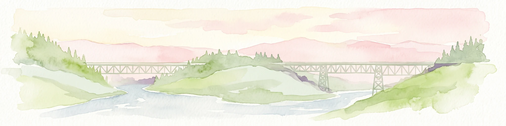
Watercolor painting of a long truss bridge spanning a river winding through a valley with hills and trees in the background.
State or regional parkBritish Columbia
About 122 km away#1 closest

Northwest

Kiskatinaw Provincial Park: A Protected Landscape Along the Historic Alaska Highway

Geography and heritage in the Peace River region of British Columbia

Kiskatinaw Provincial Park encompasses a distinctive horseshoe meander of the Kiskatinaw River, creating a deep gorge carved into the terrain of northeastern British Columbia. This protected area serves as a focal point for understanding both the river geomorphology of the Peace River Country and the engineering history of the original Alaska Highway, exemplified by the iconic 1942 wooden trestle bridge.

Area
0.58 km²
Established
1962
IUCN
II
Relief
Upland
National parkAlberta
191 km away#2 closest

South

Jasper National Park National Park: Mapped Protected Landscape and Alberta Geography

Explore Alberta's regional park context and natural terrain.

Jasper National Park is a key protected national park in Alberta, Canada, offering extensive natural landscapes. This park page details its precise geographic location, outlines its protected boundaries, and provides context within the regional geography of Western Canada. Discover the mapped terrain and the park's significance as a protected area within a broader atlas perspective.

Area
10,878 km²
Established
1907
IUCN
II
Visitors
2.4M annual
State or regional parkBritish Columbia
273 km away#3 closest

Northwest

Graham-Laurier Provincial Park: Protected Boreal Landscape and Geographic Context

Remote wilderness exploration in the Peace River region

Graham-Laurier Provincial Park represents a massive, intact wilderness area in northeastern British Columbia. Defined by boreal forests, undulating ridges, and the cascading waters of Christina Falls, this region serves as a crucial natural refuge within the Muskwa-Kechika Management Area. Access is centered on rugged forest service roads and backcountry trails, making the area a primary destination for self-reliant exploration and terrain study.

Area
999.82 km²
Established
1999
IUCN
II
Relief
Mountain
State or regional parkBritish Columbia
About 311 km away#4 closest

Northwest

Pink Mountain Provincial Park: Regional Geography and Protected Alpine Landscapes

Muskwa Foothills terrain and scientific conservation history.

Situated in the eastern foothills of the Rocky Mountains, Pink Mountain Provincial Park is defined by its transition from forested valleys to high-altitude tundra. This protected area stands as a unique ecological corridor, preserving major Mesozoic fossil sites and providing a habitat for diverse northern wildlife species that thrive in the cold-adapted vegetation of the Muskwa Foothills.

Area
0.98 km²
Established
1999
IUCN
II
Relief
Mountain
State or regional parkBritish Columbia
About 316 km away#5 closest

South

Pyramid Creek Falls Provincial Park: Mapped Geography and Protected Natural Landscape

Glacial cascades and North Thompson River valley terrain

This protected area centers on a vertical, two-stage waterfall spilling from a hanging valley high above the North Thompson River. Characterized by its glacier-fed creek and steep forested slopes, the park functions as a key geological landmark within the rugged, mountainous interior of British Columbia.

National parkCanada
348 km away#6 closest

Southeast

Banff National Park: Exploring Canada's Iconic National Park Protected Landscape and Geography

Mapped park boundaries and regional geographic context for Banff National Park.

Gain a structured understanding of Banff National Park as a key protected area within Canada. This resource details its identity as a national park, providing insights into its geographic setting and mapped landscape. It serves as a vital point for atlas-based discovery, helping to contextualize Banff National Park's significance within Canada's protected lands and natural terrain.

Area
6,641 km²
Established
1885
IUCN
II
Visitors
4.1M annual
State or regional parkBritish Columbia
354 km away#7 closest

Northwest

Redfern-Keily Provincial Park: A Deep Dive into Muskwa Ranges Protected Geography

Remote Glacial Landscapes and Northern Wilderness Terrain

Redfern-Keily Provincial Park encompasses a significant stretch of remote wilderness in the Muskwa Ranges of northeastern British Columbia. Anchored by the eight-kilometer Redfern Lake and surrounding glaciers like the Ithaca and Achaean, the area serves as a primary example of intact boreal and subalpine geography. The terrain offers a rugged look at high-elevation ecosystems and glacial history within the Muskwa-Kechika Management Area.

Area
807.12 km²
Established
1999
IUCN
II
Relief
Mountain
State or regional parkBritish Columbia
About 405 km away#8 closest

Northwest

Prophet River Hot Springs Provincial Park: Protected Landscape and Geothermal Geography

Remote backcountry wilderness in northeastern British Columbia

Prophet River Hot Springs Provincial Park is a specialized protected area known for its unique tufa mounds and geothermal features. Set against the mountainous backdrop of the Muskwa Ranges, this backcountry destination offers a compelling study of boreal and subalpine geography, accessible only by hiking or horseback through undisturbed wilderness corridors.

Area
1.84 km²
Established
1999
IUCN
II
Relief
Mountain
MoriAtlas Explorer

Continue Exploring Saskatoon Lake Migratory Bird Sanctuary Protected Lands

Deepen your knowledge of the geography and habitat structure defining Saskatoon Lake Migratory Bird Sanctuary. Through MoriAtlas, trace the intersection of wetland ecosystems and boreal parkland borders that make this Alberta reserve a meaningful node in the broader regional conservation network.