
Mori Atlas logo
Park guides

Plan desert exploration around coastal fog and temperature

Skeleton Coast National Park visit-planning guide for Namibia’s desert coast

Use Skeleton Coast National Park's guide to assess fog and temperature shifts from the cold Atlantic current. Its advice highlights May through September for dry, mild conditions and clearer desert exploration, while presenting cooler transition months as a distinctive time to experience the contrast between dunes and sea.

Related tags

Desert CoastShipwrecksRemote WildernessNamibiaAtlantic Ocean

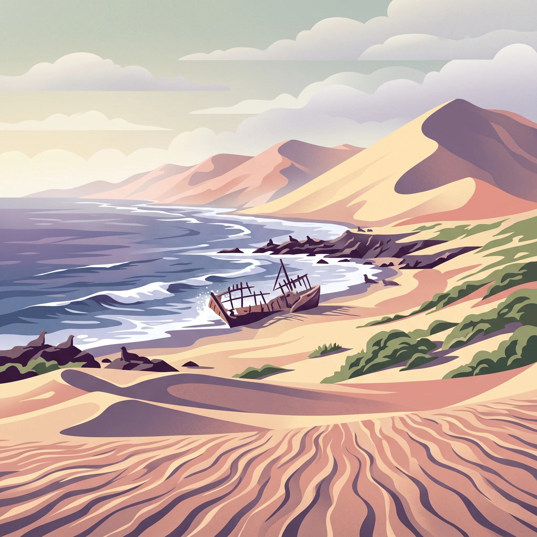
Remote Atlantic coastline of shipwrecks and desert wilderness in northwest Namibia

Skeleton Coast National Park

Skeleton Coast National Park represents one of Namibia's most distinctive protected landscapes, encompassing a vast expanse of desert coastline that has long captivated adventurous travelers and nature enthusiasts. The park's coastline stretches along the cold Atlantic waters of the Skeleton Coast, a name that evokes both the historical maritime tragedies and the eerie, otherworldly quality of the landscape. Access to the park remains extremely limited, contributing significantly to its wilderness character and ensuring that those who visit experience a form of remoteness increasingly rare in the modern world. The park's size of approximately 16,845 square kilometers places it among the larger national parks in Southern Africa, yet its terrain is so challenging that much of the area sees few human visitors. The park is bisected by the Ugab River, which serves as a natural boundary between the more accessible southern sector and the strictly controlled northern wilderness area.

Location
Namibia
Park type
National park
Established
1971
Area
16,845 km²
Skeleton Coast National Park protected area
1 guide

Compare focused visitor planning themes and seasonal timing questions for this desert coastline.

Skeleton Coast National Park Published Guides Collection and Planning Index

This published guide collection provides targeted reading materials focused on visitor planning for Skeleton Coast National Park. Each resource addresses specific environmental factors like coastal fog and seasonal weather variations to help readers navigate the desert terrain.
When to Visit Skeleton Coast National Park: Climate and Seasonal Timing
Visitor Planning Guide

When to Visit Skeleton Coast National Park: Climate and Seasonal Timing

Analyze monthly climate data, coastal weather patterns, and access factors to determine the right time for your Namibian wilderness expedition.

Planning a trip to this remote stretch of the Namibian coastline requires a clear understanding of the unique desert-marine climate that defines the region. This guide uses 1991 to 2020 climate normals to help you weigh the trade-offs between seasonal temperature shifts, daily wind patterns, and the persistent fog that contributes to the park's haunting atmosphere. By analyzing monthly changes in precipitation, humidity, and daylight, you can align your travel dates with your personal priorities, whether that involves photography, wildlife viewing, or experiencing the profound solitude of this protected landscape. Because the park features two distinct zones—one accessible to standard vehicles and the other restricted to fly-in visitors—it is essential to interpret this data alongside your planned logistics. Always verify current park entry regulations, permit requirements, and route accessibility with the relevant authorities before finalizing your itinerary, as the dynamic nature of this harsh environment means conditions can change significantly. This guide serves to provide a framework for your decision-making process by grounding seasonal expectations in long-term data, ensuring you are well-prepared for the environmental realities of one of Africa's most inhospitable yet beautiful coastal wilderness areas.

When to Visit
MoriAtlas Explorer

Continue Exploring Skeleton Coast National Park's Mapped Landscape and Geographic Context

Deepen your understanding of Skeleton Coast National Park's unique protected landscape and its place within Namibia's geography. Explore its mapped boundaries, characteristic terrains, and the stark beauty that defines this remote wilderness. MoriAtlas provides the structured atlas data to contextualize its iconic shipwrecks and desert-meets-ocean environment for detailed geographic discovery.