Mori Atlas logo
National parkSkole Beskids National Nature Park

Discover the geographic boundaries and natural terrain of this national park within Ukraine's atlas context.

Skole Beskids National Nature Park: A Mapped Protected Landscape in Ukraine's Geography

(National Nature Park "Skole Beskids")

Skole Beskids National Nature Park represents a significant protected natural area within Ukraine, offering a key point of discovery for landscape and geographic exploration. This page provides detailed context on the park's mapped boundaries and its setting within the broader Ukrainian geography. Users can engage with the park's identity as a national nature preserve, understanding its place in a structured atlas for regional landscape analysis and map-based discovery.

Carpathian MountainsNational ParksOld-growth ForestsEuropean BisonMountain LandscapesBeech Forests

Skole Beskids National Nature Park

National park

Park overview

Structured park overview, official facts, and landscape profile for Skole Beskids National Nature Park

Skole Beskids National Nature Park park facts, protected area profile, and essential visitor context
Review the core facts for Skole Beskids National Nature Park, including designation, size, terrain, visitor scale, habitats, and operating context in one park-focused overview.

About Skole Beskids National Nature Park

Skole Beskids National Nature Park occupies a mountainous portion of the Skole Beskids Range in the Carpathian Mountains of western Ukraine. The park was established in 1999 with the dual purpose of protecting the region's valuable forest ecosystems and providing for environmental education and recreational use. The protected area spans approximately 35,684 hectares across the Stryi and Drohobych Raions of Lviv Oblast. The terrain is characterized by a series of parallel northwest-to-southeast running ridges separated by deep river valleys carved by the Stryi and Opir Rivers. Elevations range from 600 meters in the valley floors to 1,260 meters at Mount Parashka, the highest point within the park boundaries. The underlying geology consists of Cretaceous and Paleogene flysch deposits, a sequence of deep-sea sedimentary rocks including sandstones, siltstones, argillites, limestones, and marls that give the landscape its characteristic steep, rocky character.

Quick facts and research context for Skole Beskids National Nature Park

Skole Beskids National Nature Park protects a mountainous segment of the Carpathian Mountains in Lviv Oblast, western Ukraine. The park covers 35,684 hectares along the Skole Beskids Range, with altitudes ranging from 600 to 1,260 meters. Established in 1999 under the management of Ukraine's Ministry of Ecology and Natural Resources, the park preserves beech and beech-fir forests that are over 100 years old. The highest point within the park is Mount Parashka. The terrain is shaped by the valleys of the Stryi and Opir Rivers, with peaks formed by erosional cuts between river systems.

Park context

Deeper park guide and search-rich context for Skole Beskids National Nature Park

Skole Beskids National Nature Park history, landscape, wildlife, and travel context
Explore Skole Beskids National Nature Park through its history, landscape character, ecosystems, wildlife, conservation priorities, cultural context, and seasonal travel timing in a structured park guide built for atlas discovery and search intent.

Why Skole Beskids National Nature Park stands out

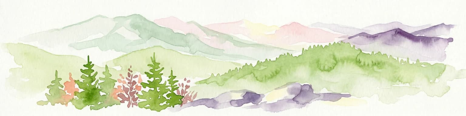
Skole Beskids is best known for its extensive old-growth beech and beech-fir forests that represent a significant portion of Ukraine's Carpathian woodland heritage. The park protects one of the last remaining tracts of primeval Carpathian forest in western Ukraine, home to a notable population of European bison that were reintroduced in 1965. The mountainous landscape, with its flysch rock formations and dramatic valley cuts, creates a distinctive Carpathian scenery. The fortress of Tustan, a historic cliff-side fortification, adds cultural significance to the natural landscape.

Skole Beskids National Nature Park history and protected-area timeline

The Skole Beskids area has a long history of human presence and land use, with the region's mild climate and scenic mountain landscapes making it a destination for health resorts and tourism for centuries. The national park was officially created in 1999 to provide formal protection to the Carpathian forests and mountain ecosystems of the Skole Beskids Range. The establishment of the park came as part of Ukraine's broader effort to protect its Carpathian natural heritage, recognizing the ecological significance of the beech and beech-fir forests that dominate the area. The park is managed by Ukraine's Ministry of Ecology and Natural Resources and continues to serve both conservation and public use functions, maintaining a network of recreation facilities and trail systems for visitors.

Skole Beskids National Nature Park landscape and geographic character

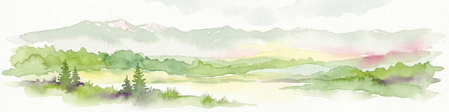
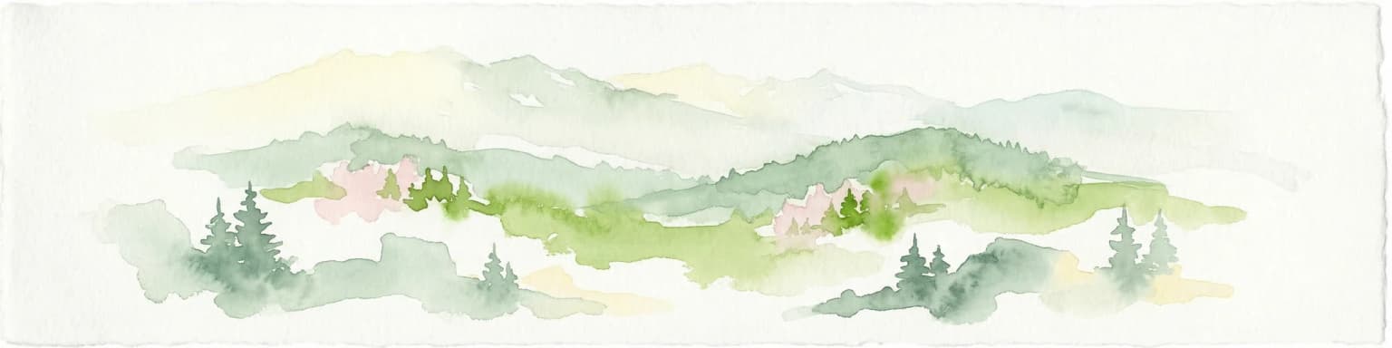
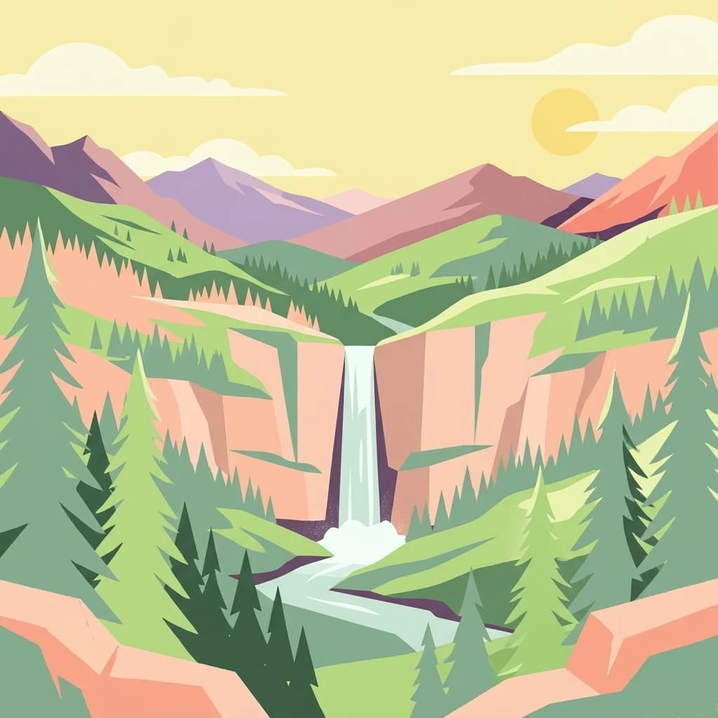
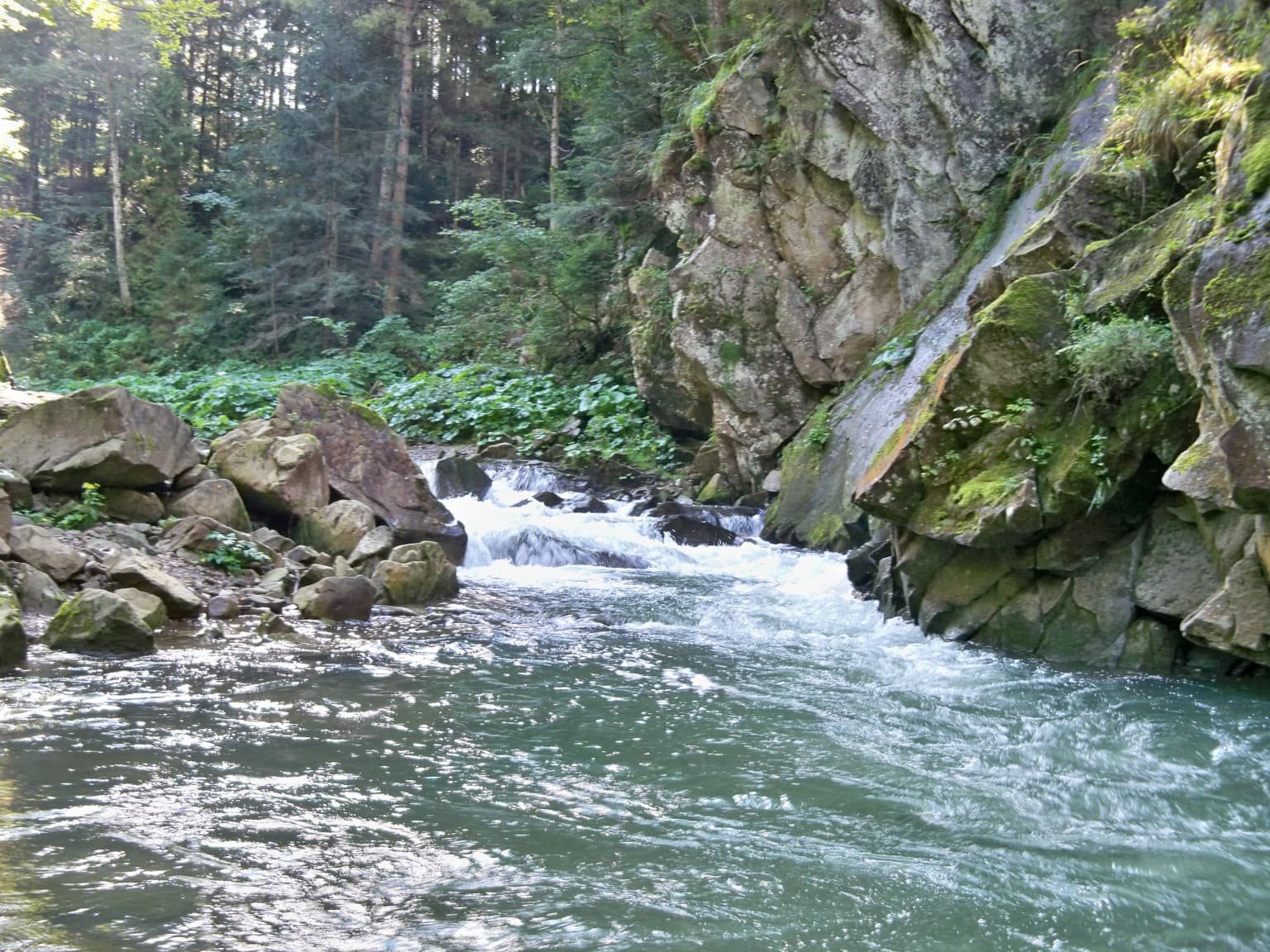
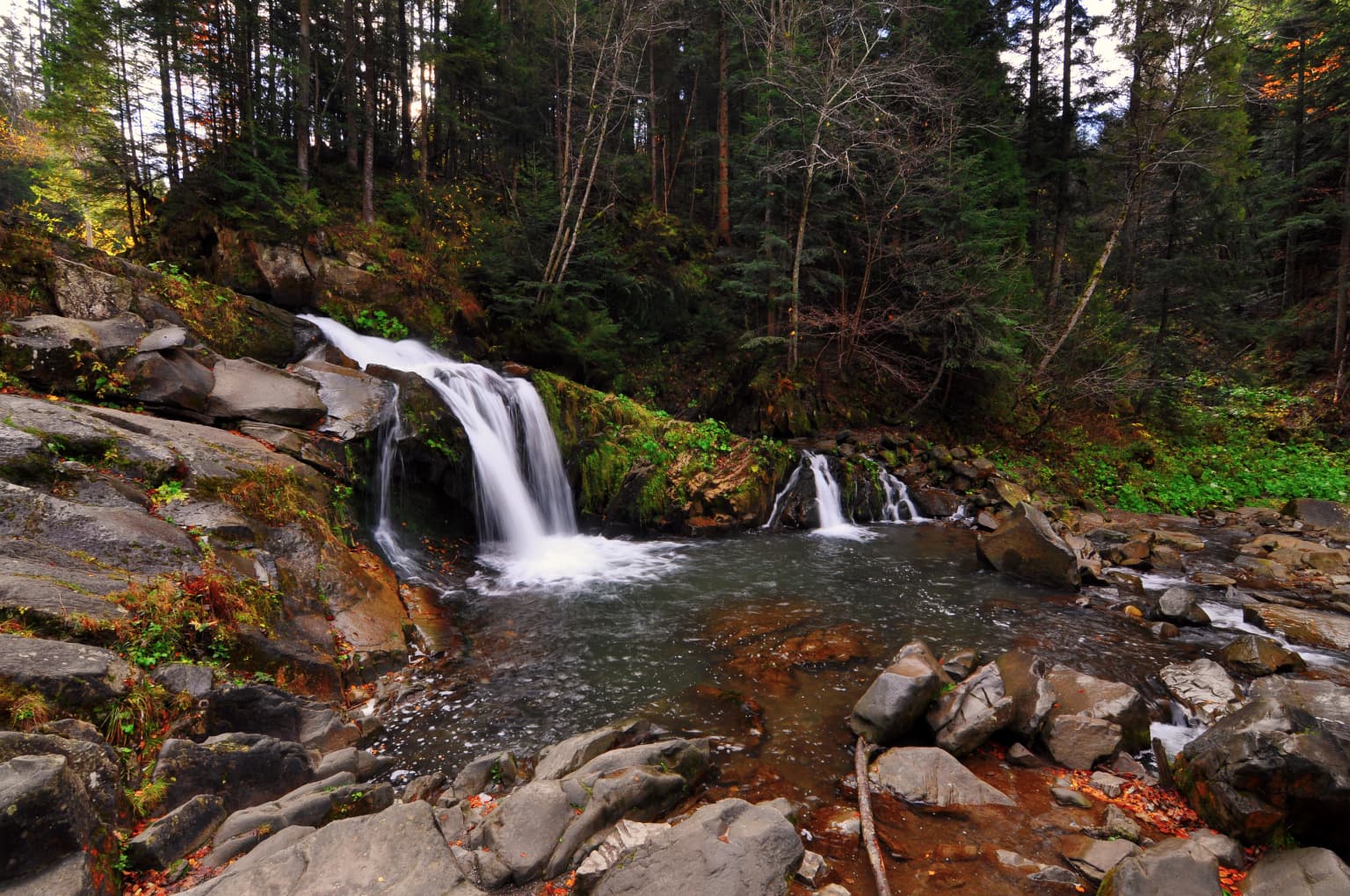
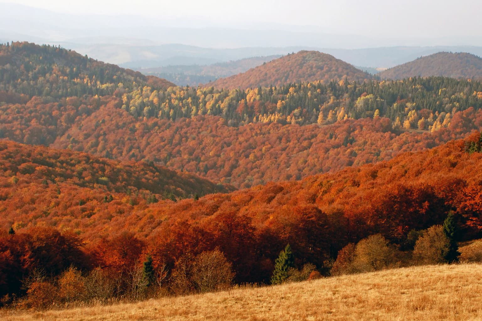
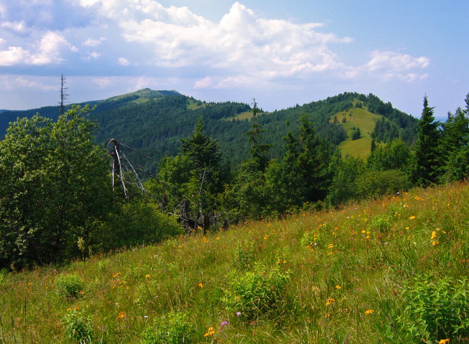
The landscape of Skole Beskids National Nature Park is defined by its mountainous Carpathian character. The Skole Beskids Range runs northwest to southeast through the protected area, with a series of parallel ridges separated by steep-sided valleys. The park encompasses the drainage basins of both the Stryi River and the Opir River, with altitude ranging from 600 meters in the lower valleys to 1,260 meters at Mount Parashka. The underlying geology consists of flysch, a distinctive sequence of Cretaceous and Paleogene sedimentary rocks that erode into steep cliffs and rocky outcrops. River erosion has carved deep gullies between the ridge peaks, creating a rugged terrain of steep slopes, rock faces, and narrow valleys. The combination of forested slopes, rocky ridges, and flowing rivers creates a classic Carpathian mountain landscape.

Skole Beskids National Nature Park ecosystems, habitats, and plant life

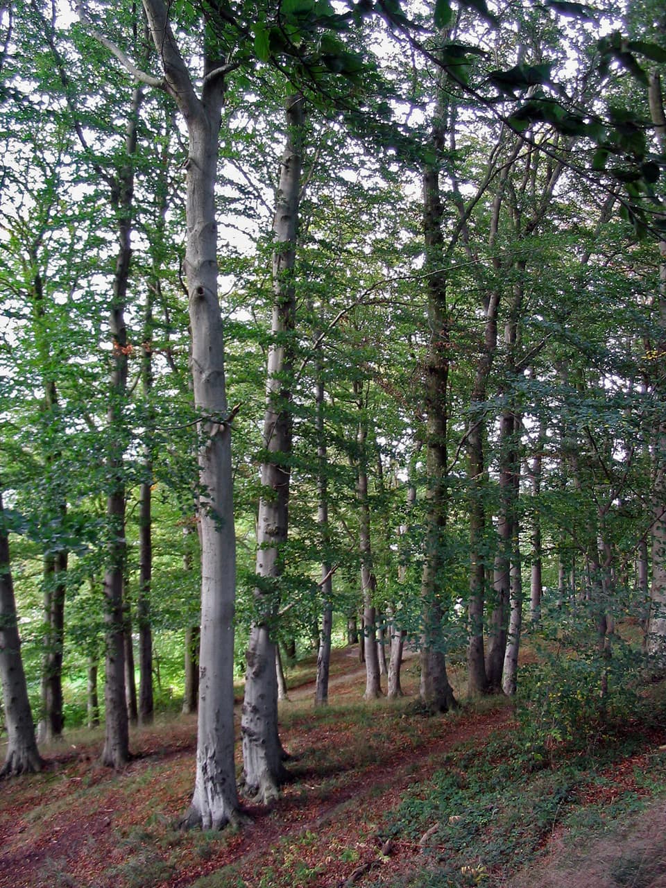
The ecological character of Skole Beskids is defined by its extensive forest cover on the mountain slopes. The majority of the park is covered in forested vegetation, predominantly beech and beech-fir forests growing on gravelly soils. Much of the forest is over 100 years old, representing mature Carpathian woodland. At higher elevations, the vegetation transitions to spruce-fir-beech forest communities. The park supports exceptional biodiversity, with over 635 species of vascular plants recorded within its boundaries. The combination of old-growth forest, varied topography, and climatic conditions creates a rich ecological system that represents one of the most significant remaining tracts of Carpathian forest in Ukraine.

Skole Beskids National Nature Park wildlife and species highlights

Skole Beskids supports a diverse fauna with approximately 50 species of mammals, 121 species of birds, 18 species of fish, 9 amphibians, and 6 reptiles documented within the park. The ungulate community includes red deer, roe deer, wild boar, and a population of European bison. The bison were reintroduced to the area in 1965 when 10 individuals were brought to the park, and they have successfully adapted to local conditions and produced offspring. Large mammals present in the park include brown bear, gray wolf, lynx, and red fox. The park also hosts rare species protected under Ukrainian and European conservation listings, including forest cat, otter, badger, ermine, and several species of owls. Eight species of bats found in the park are included in the Bernese List, with one also appearing on the European Red List.

Skole Beskids National Nature Park conservation status and protection priorities

Skole Beskids National Nature Park plays an important role in protecting the Carpathian forest ecosystem and its associated biodiversity. The park preserves representative examples of Carpathian beech and beech-fir forests that are of high conservation value. The protection of old-growth forest communities and their associated wildlife populations, including rare species such as brown bear, lynx, and European bison, makes this park significant for European biodiversity conservation. The park's classification as IUCN Category II reflects its primary purpose of protecting natural ecosystems while allowing for sustainable public use and environmental education.

Skole Beskids National Nature Park cultural meaning and human context

The Skole Beskids region has been inhabited for centuries and retains cultural significance beyond its ecological value. The area has historically been known for health resorts and tourism, benefiting from the mild mountain climate and the scenic natural environment. Within the park boundaries lies the Fortress of Tustan, a historic cliff-side fortification that represents the region's historical heritage. The tradition of tourism and recreation in the area continues today, with the park maintaining over 20 recreation and boarding houses that offer visitors opportunities to experience the Carpathian landscape. The combination of natural protection and cultural use reflects the park's role in preserving both the environmental and cultural character of this part of western Ukraine.

Top sights and standout views in Skole Beskids National Nature Park

Skole Beskids National Nature Park protects one of Ukraine's most significant Carpathian forest landscapes, featuring old-growth beech and beech-fir forests, dramatic mountain ridges carved by river valleys, and notable wildlife including a population of European bison. Mount Parashka offers hiking opportunities with panoramic views of the surrounding Carpathian ranges. The Fortress of Tustan provides a unique cultural landmark within the natural landscape. The park supports over 635 species of vascular plants and diverse wildlife communities, including rare species such as brown bear, lynx, and several owl species. The combination of ecological significance, scenic mountain terrain, and cultural heritage makes this protected area a valuable component of Ukraine's Carpathian mountain estate.

Best time to visit Skole Beskids National Nature Park

The park can be visited year-round, with each season offering distinct experiences. Summer months bring warm conditions with average temperatures around 16°C in July, making this the most popular season for hiking and outdoor activities. The summer months also correspond with the wettest period, with precipitation averaging 800-1,100 mm annually. Winter brings colder temperatures, with January averaging -6°C, and the park typically experiences about 39 cm of snow depth. Winter visits offer the opportunity to experience the park's quiet mountain landscapes, though conditions can be challenging. The transitional seasons of spring and autumn provide alternative times to visit, with autumn particularly notable for forest color and milder weather.

Park location guide

Geography guide, regional context, and park location map for Skole Beskids National Nature Park

Skole Beskids National Nature Park park geography, regions, and map view in Ukraine
Understand where Skole Beskids National Nature Park sits in Ukraine through a broader geographic reading of the surrounding landscape, nearby location context, and its mapped position within the national park landscape.

How Skole Beskids National Nature Park fits into Ukraine

Ukraine is a sovereign nation in Eastern Europe, bordered by Russia, Belarus, Poland, Slovakia, Hungary, Romania, Moldova, and the Black Sea. It is the second-largest country in Europe by area. Kyiv is the capital and largest city, followed by Kharkiv, Odesa, and Dnipro. The official language is Ukrainian. Ukraine has a population of approximately 32.9 million and operates as a unitary semi-presidential republic.

Wider geography shaping Skole Beskids National Nature Park in Ukraine

Ukraine occupies 603,628 km² in Eastern Europe, making it the second-largest country in Europe. It shares borders with Russia, Belarus, Poland, Slovakia, Hungary, Romania, and Moldova. The country has a southern coastline along the Black Sea and Sea of Azov. The terrain includes plains, steppes, and the Carpathian Mountains in the west.

Map view of Skole Beskids National Nature Park

Use this park location map to pinpoint Skole Beskids National Nature Park in Ukraine, understand its exact geographic position, and read its mapped placement within the surrounding landscape more clearly.

Pigeon | © OpenStreetMap contributors

Location context for Skole Beskids National Nature Park

Drohobych RaionLviv OblastStryi Raion
Park atlas

Trace the Carpathian Mountain protected landscapes and compare park geography in Ukraine and beyond.

Discover Other National Parks and Protected Areas Near Skole Beskids National Nature Park
Explore other protected areas and national parks in the Carpathian Mountains, expanding your view beyond Skole Beskids National Nature Park to compare diverse landscapes. Continue your geographic discovery by examining adjacent mountain parks and forest reserves, tracing how conservation efforts extend across this rugged regional terrain.
Watercolor illustration of green and purple mountains with pine trees and flowering shrubs in the foreground
National parkLviv Oblast

Boikivshchyna National Nature Park: National Park Protected Landscape Exploration

Lviv Oblast geographic context and mapped terrain

Dive into the protected landscape of Boikivshchyna National Nature Park, a key national park located in Lviv Oblast. MoriAtlas facilitates structured discovery of its mapped boundaries, regional geography, and the unique natural terrain it encompasses. This entry is designed for users interested in the specific park identity, its geographic setting within Ukraine, and detailed atlas-based understanding of protected natural areas.

Area
317 km²
Established
2019
IUCN
II
Relief
Mountain
Watercolor illustration of a mountainous landscape with forests, lakes, and rolling hills under a light sky
National parkUkraine

Uzh National Nature Park: Primeval Beech Forests and Protected Landscape in Ukraine

Explore its mapped boundaries and Carpathian geography.

Uzh National Nature Park, a protected national park in Ukraine's Carpathian Mountains, safeguards a crucial segment of the Primeval Beech Forests of the Carpathians, a UNESCO World Heritage site. This atlas-focused exploration reveals the park's mapped terrain, defined by river valleys and ancient forest ecosystems, offering essential geographic context for this significant protected landscape. Discover the natural heritage preserved within its boundaries, showcasing exceptional biodiversity and the unique character of the Eastern Carpathians.

Area
391.593 km²
Established
1999
IUCN
II
National parkSubcarpathian Voivodeship

Bieszczady National Park: A Protected Landscape of the Eastern Carpathians

Explore mapped terrain, alpine meadows, and old-growth forests.

Discover Bieszczady National Park, a significant national park located in the Subcarpathian Voivodeship of Poland, within the Eastern Carpathian mountain range. This protected area is renowned for its vast expanses of old-growth beech forests, the characteristic połoniny alpine meadows, and its status as a UNESCO World Heritage Site, underscoring its global conservation importance. The park's wild character and dramatic mountain geography make it a key destination for atlas-driven exploration of protected landscapes.

Area
292.02 km²
Established
1973
IUCN
II
Relief
Mountain
National parkZakarpattia Oblast

Synevyr National Nature Park: National Park Protected Landscape in Zakarpattia Oblast

Mapped geographic context and protected area identity

Delve into Synevyr National Nature Park, a designated national park situated in the diverse geography of Zakarpattia Oblast, Ukraine. This page provides essential atlas-driven context, detailing the park's mapped boundaries and its significance as a protected landscape within the Carpathian region. Understand its unique place in Ukraine's network of natural areas and explore its regional geographic setting for a comprehensive overview.

Area
404 km²
Established
1974
Relief
Mountain
Climate
Temperate
National parkLviv Oblast

Yavoriv National Nature Park: Protected Landscape and Regional Geography in Lviv Oblast

Mapped protected area boundaries and natural terrain context.

Yavoriv National Nature Park is a designated national park within Lviv Oblast, Ukraine. This page provides detailed geographic information, focusing on the park's protected landscape identity and its mapped terrain. Understanding its location in Western Ukraine, near the Carpathian gateway, offers valuable context for atlas-based exploration of protected areas and natural features within the region.

Area
71.08 km²
Established
1998
IUCN
II
Relief
Highland
National parkZakarpattia Oblast

Zacharovanyi Krai National Nature Park: Protected Landscape Atlas Entry

National park within Zakarpattia Oblast, Ukraine

Navigate Zacharovanyi Krai National Nature Park, a designated national park offering vital insights into protected landscapes and regional geography. This entry provides core information about the park's protected area status and its geographic setting within Zakarpattia Oblast, essential for structured atlas discovery and understanding the mapped natural terrain of western Ukraine.

Area
61.01 km²
Established
2009
IUCN
II
Relief
Mountain
National parkIvano-Frankivsk Oblast

Syniohora National Nature Park: Protected Carpathian Landscape and Geographic Context

Explore the mapped terrain and protected area boundaries within the Gorgany mountains.

Syniohora National Nature Park, located in Ivano-Frankivsk Oblast, is a vital protected area safeguarding a significant portion of the Gorgany mountain massif. This park offers a unique opportunity to explore the mapped geography and natural landscape characteristic of the Ukrainian Carpathians. Its establishment as a national park underscores the importance of preserving the region's mountain terrain, protected forest ecosystems, and distinctive natural heritage for structured geographic discovery.

Area
108.66 km²
Established
2009
IUCN
II
Scope
Terrestrial
National parkIvano-Frankivsk Oblast

Halych National Nature Park: Ivano-Frankivsk Oblast National Park Atlas & Geography

Mapped protected boundaries and landscape context.

Halych National Nature Park is a vital protected area situated in the Ivano-Frankivsk Oblast of Ukraine, characterized by its transitional landscape where Carpathian foothills merge with the East European Plain. This national park offers a rich tapestry of environments, including oak-hornbeam and oak-beech forests, vital wetlands, and scarce steppe remnants, creating a mosaic of habitats mapped meticulously within the MoriAtlas platform. Explore the park's geographic identity, its diverse terrain, and its significance as a conservation landscape for understanding regional biodiversity.

Area
147 km²
Established
2004
IUCN
II
Relief
Lowland

Common questions about visiting, size, designation, and location context for Skole Beskids National Nature Park

Skole Beskids National Nature Park FAQs for park facts, access, geography, and protected area context
Find quick answers about Skole Beskids National Nature Park, including protected-area facts, park geography, trail and visitor context, and how the park fits into its surrounding country and regional landscape.
MoriAtlas Explorer

Continue Your Protected Areas Search Across the Global Atlas

Deepen your exploration by continuing the structured search for national parks and protected areas worldwide. Utilize the comprehensive filtering capabilities to compare different conservation landscapes and refine your understanding of global park geography. Discover more about the distribution and characteristics of protected natural areas.

Global natural geography