Mori Atlas logo
Park earthquake history

Review historical epicentre data, magnitudes, and proximity metrics for regional seismic events.

Recorded Earthquake History and Seismic Activity Near Tonto National Forest, Arizona

This catalogue provides a transparent, data-driven collection of historical earthquakes associated by distance with Tonto National Forest. Users can filter recorded events by magnitude, depth, and chronological occurrence to understand the regional seismic context surrounding this expansive Arizona protected landscape. All data points are sourced from standardized geological records to ensure clarity regarding past seismic activity occurring in the vicinity of this protected forest area.

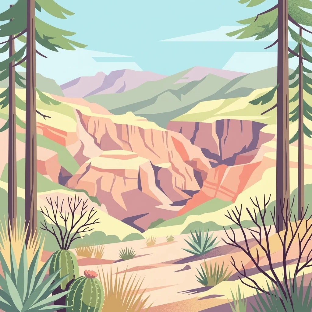
A stylized flat illustration of a desert canyon landscape with cacti in the foreground, framed by tall pine trees, and mountains in the background under a pale blue sky.

Arizona's largest national forest, sweeping from Sonoran Desert lowlands to the pine-clad Mogollon Rim.

Tonto National Forest

Tonto National Forest is the largest of Arizona's six national forests and one of the most expansive in the entire United States. It stretches across a dramatic vertical landscape, climbing from Sonoran Desert lowlands near 1,400 feet elevation all the way up to ponderosa pine forests along the Mogollon Rim at roughly 7,400 feet. The forest occupies a central place in Arizona's geography, bordered by the Phoenix metropolitan area to the south, the Mogollon Rim to the north, and the San Carlos and Fort Apache Indian Reservations to the east. Because it sits so close to the Phoenix region, the Tonto is widely recognized as one of the most visited "urban" national forests in the United States, drawing millions of visitors each year for boating, hiking, camping, and wildlife watching. Six major reservoirs, eight designated wilderness areas, and a wide gradient of ecosystems make it a defining example of American Southwest forest diversity. The forest is managed by the USDA Forest Service from headquarters in Phoenix, with district offices spread across nearby communities.

Location
United States of America
Park type
Protected landscape
Established
1905
Area
11,627 km²
Highest point
2,256 m
Explore Tonto National Forest Geography

Measure reported epicentre distance across Tonto’s vast mountain, cliff, forest and river terrain

Search earthquake observations around Tonto National Forest

Explore source-linked earthquakes around Tonto National Forest, an 11,627 km² mountain protected landscape with cliffs, forests, lakes and major rivers; Filter reported dates, magnitudes, depths and calculated distance from the forest. Epicentre proximity is geographic context, not proof of boundary occurrence, environmental damage, causation, current risk or future seismic behaviour.

Sort by
Magnitude
Location

This page describes catalogued earthquakes associated with the park by epicentre location and distance. It does not establish causation, assess current danger, or predict future earthquakes.

No earthquake records match the current filters

Park atlas

Continue after Tonto National Forest earthquake data

Browse additional destinations beyond Tonto National Forest

The destination cards after Tonto National Forest's earthquake history form an independent atlas selection; Tonto is an 11,627 km² terrestrial mountain landscape in the United States with major waters, mountains, cliffs, forest, lakes, rivers, and coast labels. Its profile should not be projected onto the following places or used to infer shared protected status, seismic exposure, source quality, location, or hazard.
Wildlife reserveArizona
Park boundaries overlap#1 closest

Northwest

Mazatzal Wilderness: Geographic Overview of Arizona's Expansive Protected Mountain Terrain

Mapping the ecological transition from desert canyon to forest ridge

Mazatzal Wilderness stands as an essential protected area in central Arizona, covering vast tracts of the Tonto and Coconino National Forests. The landscape is defined by the stark vertical contrast between the low-lying Verde River corridor and the high-elevation forests of the Mazatzal Mountains. This expansive wilderness remains a key study in regional topography and ecological zonation for those exploring the rugged backcountry of the southwestern United States.

Area
1,021.4 km²
Established
1964
IUCN
Ib
Relief
Mountain
Watercolor painting of a calm lake surrounded by green forests and distant mountain ridges.
Protected areaArizona
Park boundaries overlap#2 closest

Northwest

Prescott National Forest: Geographic Overview of Arizona Protected Landscapes and Wilderness

Regional geography and protected terrain map of the Bradshaw Mountains

Spanning over one million acres, Prescott National Forest represents a defining outdoor landscape in Arizona. The terrain transitions from high desert chaparral to dense ponderosa pine forests, featuring eight distinct wilderness areas, rugged canyon systems, and essential watershed corridors that shape the regional ecology near Prescott.

Area
5,100 km²
Established
1908
Relief
Mountain
Climate
Temperate
Wildlife reserveArizona
About 16 km away#3 closest

Southeast

Needle's Eye Wilderness: Protected Desert Geography and Mescal Mountain Topography

Gila River canyons and limestone desert landscapes in Arizona

Needle's Eye Wilderness encompasses a rugged segment of the Mescal Mountains where the Gila River has incised deep limestone gorges. This protected area features a striking shift between harsh arid uplands and a dense riparian corridor, offering a study in concentrated desert canyon topography and dramatic geological formations within southern Arizona.

Area
35.5 km²
Established
1990
IUCN
Ib
Relief
Mountain
A horizontal watercolor illustration depicting a desert landscape with distant purple mountain peaks, rolling green hills, and a winding path, rendered in soft, light colors.
Wildlife reserveArizona
38 km away#4 closest

North

Munds Mountain Wilderness Protected Area and Red Rock Landscape Mapping

Arizona high-desert wilderness and canyon-edge geography

Located southeast of Sedona, Munds Mountain Wilderness encompasses roughly 18,150 acres of dramatic sandstone cliffs and elevated plateaus. This area serves as a key site for observing the convergence of pinyon-juniper woodlands with iconic desert rock formations, providing a clear window into the rugged topography of central Arizona.

Area
73.45 km²
Established
1984
IUCN
Ib
Relief
Mountain
A watercolor painting showing a winding river flowing through a forested valley with gentle hills in the background.
Wildlife reserveArizona
53 km away#5 closest

North

Red Rock-Secret Mountain Wilderness: A Geographic Overview of Arizona Protected Lands

Canyon landscapes and high mesa terrain in Arizona

Red Rock-Secret Mountain Wilderness serves as a significant protected block near Sedona, featuring a complex network of slot canyons, natural arches, and sandstone pinnacles. This wilderness area preserves the ecological transition from the high-elevation forested rim down into warmer, arid canyon bottoms, offering a deep look at the geology of the Colorado Plateau edge.

Area
191 km²
Established
1984
IUCN
Ib
Relief
Mountain
A soft watercolor painting of a wide, rolling mountain landscape with muted greens, yellows, and purples.
Wildlife reserveArizona
67 km away#6 closest

Southeast

Galiuro Wilderness: A Protected Mountain Landscape in Southeastern Arizona

Mapped geography and terrain of the Galiuro range

Trace the uplifted slabs and eroded canyons that define Galiuro Wilderness. This protected area rises from the Arizona plains to reveal a complex geography of brushy slopes, spring-fed riparian zones, and sky-high summit vistas.

Area
309 km²
Established
1932
IUCN
Ib
Relief
Mountain
Wildlife reserveArizona
About 69 km away#7 closest

Southeast

Fishhooks Wilderness: An Arizona Desert Wildlife Reserve and Protected Landscape Atlas

Mapped terrain and arid geography in Graham County

Fishhooks Wilderness represents an intact, undeveloped stretch of southeastern Arizona desert managed by the Bureau of Land Management. The area provides a critical example of basin-and-range topography, where volcanic ridges and desert flats border the San Carlos Apache Indian Reservation. This record offers a clear perspective on the wilderness boundaries, ecological transition zones, and remote backcountry character of this distinctive regional landscape.

Area
42 km²
IUCN
Ib
Relief
Upland
Climate
Arid
A horizontal watercolor illustration showing a calm lake in the foreground, surrounded by grassy banks, evergreen trees, and rolling mountains in the distance under a pale sky.
Protected landscapeArizona
73 km away#8 closest

North

Kaibab National Forest: Protected Plateau Landscapes and Forested Geography in Arizona

High-elevation forest terrain bordering the Grand Canyon

Spanning over 1.6 million acres in Arizona, Kaibab National Forest is characterized by its split geographic configuration, with distinct sections flanking the North and South rims of the Grand Canyon. The terrain ranges from the high-altitude Kaibab Plateau to volcanic uplands near Williams, encompassing four designated wilderness areas and varied forest ecosystems that provide a critical buffer for the surrounding canyon country.

Area
6,500 km²
Established
1909
Relief
Mountain
Climate
Temperate
MoriAtlas Explorer

Continue Exploring the Geographic Landscape of Tonto National Forest

Deepen your understanding of Tonto National Forest through our structured atlas, mapping the vast vertical transition from desert lowlands to high mountain pine forests. MoriAtlas provides the essential geographic context for this central Arizona protected landscape, illustrating its unique role in the regional terrain of the American Southwest.