Mori Atlas logo
Park earthquake history

A historical catalogue of seismic events documented within proximity to this coastal headland.

Recorded Seismic Activity and Earthquake History for Whitireia Park in the Wellington Region

Explore a structured collection of recorded seismic activity associated by epicentre distance with the landscape of Whitireia Park. This catalogue provides access to historical data including event timing, recorded magnitudes, and focal depths, allowing for a clearer understanding of the documented seismic record near this coastal reserve. These records reflect data associated with the surrounding Wellington Region rather than specific geological origins or park-based hazard predictions.

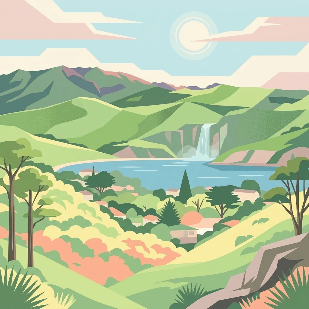
A flat-style digital illustration depicting a scenic coastal landscape with rolling green hills, a waterfall cascading into a bay, and a cluster of buildings nestled in the valley.

A coastal headland reserve above Te Awarua-o-Porirua Harbour, deeply woven into Ngāti Toa identity.

Whitireia Park

Whitireia Park is a roughly 180 hectare coastal reserve on a prominent headland on the southern North Island of New Zealand. It rises north of Tītahi Bay and the sheltered waters of Te Awarua-o-Porirua Harbour, within the city of Porirua in the Wellington Region. The reserve protects a mix of open coastal grasslands, remnant kohekohe forest, dunes, and regenerating wetlands, all shaped over the long term by uplift from major earthquakes along the Wellington fault zone. Beyond its physical setting, Whitireia Park carries deep significance for Ngāti Toa Rangatira. The mountain itself, Whitireia, is named in the iwi's pepeha and functioned for generations as a central place of belonging, fishing, and seasonal living. The park is now governed jointly by Ngāti Toa Rangatira and Greater Wellington Regional Council, a structure formalised by the Ngāti Toa Rangatira Claims Settlement Act 2014 that recognised the cultural and historical relationship between the iwi and the headland. The reserve is notable for layering several intertwined stories. Within its boundaries stand a long-running national AM radio transmission site, the surviving traces of a nineteenth-century Crown land gift intended to fund a Māori college, rare coastal forest patches, and ongoing restoration work following a major 2010 wildfire. Walking tracks, climbing areas, beaches, and harbour views make it one of Porirua's most visited natural spaces, while its cultural weight gives it a meaning that extends well beyond recreation.

Location
New Zealand
Park type
Protected landscape
Established
1976
Area
1.8 km²
Highest point
104 m
Explore Whitireia Park Protected Landscape

Compare Whitireia Park earthquake records by distance

Investigate recorded earthquakes in the wider Whitireia Park area

Whitireia Park’s earthquake records are connected by reported epicentres and measured distance from the coastal headland, not evidence that events occurred inside its limits. The catalogue provides time, magnitude, depth, reported place, separation, and citations for investigation without attributing seismic causes to natural features, assessing current risk, or anticipating future activity.

Sort by
Magnitude
Location

This page describes catalogued earthquakes associated with the park by epicentre location and distance. It does not establish causation, assess current danger, or predict future earthquakes.

No earthquake records match the current filters

Park atlas

Move beyond Whitireia Park earthquake observations

Browse more parks and protected destinations after Whitireia Park

Once the Whitireia Park earthquake observations have been reviewed, browse a distinct selection of protected destinations. The recommendations do not suggest shared park status, terrain, ecosystems, geology, seismic experience, closeness, hazards, risk, or the same strength of supporting documentation.
Wildlife reserveWellington Region
About 21 km away#1 closest

Southeast

Wainuiomata Water Collection Area: Protected Forest Terrain and Wellington Catchment Geography

Mapping the native forest canopy and river catchments of New Zealand.

The Wainuiomata Water Collection Area remains a vital conservation landscape, preserving deep river valleys and mature podocarp-broadleaf forest within the Wellington Region. This wildlife reserve functions as a major ecological hub, featuring continuous native bush that supports intensive predator control and species recovery efforts. Its geographic integrity provides a unique perspective on protected catchment management and pristine lowland wilderness in the southern North Island.

Water
Major water bodies
Regional parkWellington Region
About 22 km away#2 closest

Southeast

Wainuiomata Regional Park: Geography and Protected Area Atlas

River valley terrain in the Wellington Region

Wainuiomata Regional Park is a protected river valley setting featuring significant lowland native forest, historic water infrastructure, and restored wetland habitats. This landscape provides a critical link in the conservation geography of the Wellington Region, connecting to extensive forest remnants and supporting a variety of native ecosystems within the Wainuiomata catchment.

Relief
Mixed relief
Water
Major water bodies
A horizontal watercolor painting showing a calm river winding through green banks with coniferous trees in the background, set against a soft, light-filled sky.
Nature reserveWellington Region
About 26 km away#3 closest

East

Hutt Water Collection Area: Protected Mountain Nature Reserve in the Wellington Region

Forested catchment geography and mountain wilderness

The Hutt Water Collection Area covers 8,900 hectares of steep ridge and valley terrain in the southern Tararua Range. This nature reserve serves as a essential water catchment for the Wellington Region, protecting a diverse environment of native forest, alpine tussock, and sub-alpine bogs. Explore the mapped geography of this critical protected landscape and its role as a sanctuary for rare plant species and native birds.

Area
89 km²
Established
1951
Relief
Mountain
Climate
Temperate
Nature reserveWellington
About 27 km away#4 closest

South

Te Kopahou Reserve: Nature Reserve Geography and Coastal Landscapes in Wellington

A rugged intersection of forested hills, ridgelines, and coastal cliffs.

Situated on the southern edge of Wellington, Te Kopahou Reserve offers a diverse protected landscape ranging from the summit of Hawkins Hill to the iconic red rocks of the Cook Strait shoreline. This nature reserve provides a critical geographic transition, hosting regenerating native bush, exposed ridgeline trails, and vital habitats for local wildlife, making it a prominent example of regional conservation land on the North Island of New Zealand.

Area
6 km²
Relief
Mountain
Climate
Temperate
Access
Easy access
A soft watercolor painting of a rolling forested landscape featuring distant mountains and a calm body of water in the foreground.
Protected landscapeWellington Region
About 30 km away#5 closest

Southeast

Remutaka Forest Park: Protected Landscape and Regional Hill Country Geography

A rugged forested reserve spanning the Wellington Region.

Covering extensive territory across the Remutaka Range, this protected landscape is defined by its dramatic ridges and deep river valleys. The area functions as a vital refuge for native bush and birdlife, offering a layered environment that stretches from accessible valley floors to remote upland slopes in the southern North Island.

Area
220 km²
Established
1972
IUCN
V
Relief
Mountain
Marine protected areaMarlborough Region
43 km away#6 closest

West

Long Island-Kokomohua Marine Reserve: Mapped Geography and Protected Reef Systems

Explore marine boundaries in the Marlborough Region

Located at the entrance to Queen Charlotte Sound, Long Island-Kokomohua Marine Reserve encompasses significant island and submerged reef features. This protected area serves as an essential site for understanding coastal ecosystem restoration, featuring varied terrain from shallow near-shore reefs to deeper rocky pinnacles that support diverse marine populations.

Area
6.19 km²
Established
1993
Relief
Lowland
Climate
Temperate
A horizontal watercolor illustration depicting rolling green hills, scattered trees, and soft, muted tones against a plain white background.
Nature reserveMarlborough Sounds
About 47 km away#7 closest

West

Motuara Island Nature Reserve: Protected Landscape and Geographic Discovery

Marlborough Sounds Coastal Reserve and Sanctuary

Motuara Island is a significant nature reserve characterized by its regenerating forest, rugged coastline, and elevated summit lookout. Serving as a sanctuary for native birds and a landmark of colonial and Māori history, this 59-hectare island remains a central point of geographic interest within the Marlborough Sounds ria system.

Area
0.59 km²
Established
1976
Relief
Upland
Climate
Temperate
Protected landscapeNew Zealand
About 53 km away#8 closest

Northeast

Tararua Forest Park: Protected Landscape Geography and Mapped Natural Terrain

Defining the rugged mountain spine of New Zealand's southern North Island

Covering the core of the Tararua Range, this protected landscape represents a vital ecological corridor in New Zealand. The terrain offers a diverse gradient of native forests, steep river valleys, and windswept alpine ridges. It serves as a primary example of forest conservation and complex mountain geography within the island nation's larger network of protected lands.

Area
1,149.93 km²
Established
1954
Relief
Mountain
Climate
Temperate
MoriAtlas Explorer

Explore the Mapped Geography and Protected Landscapes of Whitireia Park

Continue your journey through the coastal terrain and protected boundaries of Whitireia Park within the MoriAtlas database. This detail page offers insight into the unique geological uplift, forest remnants, and cultural importance of this significant Wellington Region headland.