Mori Atlas logo
Park earthquake history

Review historical data of seismic activity mapped by proximity to park boundaries

Recorded Earthquake History and Seismic Records near Wind Cave National Park in South Dakota

Review this comprehensive catalogue of recorded seismic events associated by geographic distance with the landscape of Wind Cave National Park. The collection archives historical earthquake occurrences based on USGS data to provide insight into regional seismic patterns near this protected area. Each record identifies the specific epicentre location, event magnitude, and depth relative to the park surroundings, offering a clear perspective on documented seismic activity in the Black Hills region.

Related tags

Cave SystemMixed Grass PrairieBoxwork FormationsGeological WonderBreathing Cave

World's first cave national park protecting a rare breathing cave system and the largest remaining mixed grass prairie in the United States

Wind Cave National Park

Wind Cave National Park is a unique protected area in southwestern South Dakota that holds the distinction of being the world's first cave to be designated a national park and the sixth national park established in the United States. Created in 1903 under President Theodore Roosevelt, the park encompasses over 33,000 acres of mixed grass prairie and protects one of the most significant cave systems in North America. The cave is renowned for its exceptional calcite formations, particularly the boxwork that covers approximately 95 percent of all known boxwork formations on Earth. Wind Cave is classified as a breathing cave, meaning air continuously moves in and out of its passages to equalize atmospheric pressure between the cave and the outside environment, a phenomenon that gave the cave its name when discovered in 1881. The cave system extends for over 168 miles of explored passageways, making it the sixth longest cave in the world and the third longest in the United States.

Location
United States of America
Park type
National park
Established
1903
Area
137 km²
Wind Cave National Park Geography

Navigate Wind Cave National Park events by distance

Investigate historical earthquake records near Wind Cave National Park

Historical earthquake records near Wind Cave National Park are organised by documented epicentres and calculated distance from the park, not treated as events inside it. Investigate dates, magnitudes, depths, place labels, distance values, and references without interpreting cave or park qualities as seismic causes, rating present danger, or anticipating future activity.

Sort by
Magnitude
Location

This page describes catalogued earthquakes associated with the park by epicentre location and distance. It does not establish causation, assess current danger, or predict future earthquakes.

No earthquake records match the current filters

Park atlas

Move beyond Wind Cave National Park earthquake observations

Browse more parks and protected places after Wind Cave National Park

Wind Cave National Park earthquake observations lead to a distinct assortment of parks and protected places. Their appearance does not denote shared caves, national park standing, ecosystems, geology, seismic behaviour, geographic closeness, hazard exposure, risk, or comparable supporting evidence.
National parkSouth Dakota
36 km away#1 closest

East

Badlands National Park: South Dakota's Premier National Park for Atlas Exploration

Explore mapped terrain and protected landscape boundaries.

Badlands National Park stands as a key protected area within the geography of South Dakota, offering a distinct natural landscape for detailed atlas exploration. This National Park's unique terrain and mapped boundaries provide crucial context for understanding regional geography and conservation landscapes. Engage with structured information that highlights the park's geographic identity, making it an essential destination for those seeking to map and comprehend protected natural areas.

Area
982.4 km²
Established
1939
IUCN
II
Visitors
1M annual
A pale, minimalist watercolor illustration of a wide, open grassy landscape with soft rolling hills in the background and light green vegetation in the foreground.
Protected landscapeSouth Dakota
About 38 km away#2 closest

East

Buffalo Gap National Grassland: Regional Geography and Protected Prairie Boundaries

Mapping the vast grasslands of southwestern South Dakota

Spanning across four counties in southwestern South Dakota, Buffalo Gap National Grassland serves as a premier example of a working Great Plains landscape. The region is defined by its immense scale, where undulating mixed-grass prairie transitions into striking, chalky badlands. This area is recognized for its vital conservation role, including successful species recovery programs, and stands as a foundational feature of the regional geological and ecological map.

Area
2,410.77 km²
Established
1960
Relief
Upland
Climate
Temperate
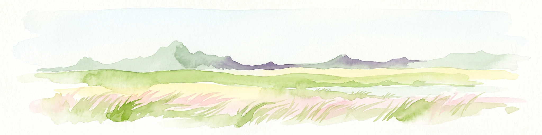
Watercolor painting of a wide, rolling grassy plain leading to distant low hills or badlands against a pale sky.
Protected landscapeNebraska
57 km away#3 closest

South

Oglala National Grassland: Geological Terrain and Protected Landscape Map in Nebraska

Regional geography of prairie rangelands and eroded badlands

Situated in the northwest corner of Nebraska, Oglala National Grassland covers nearly 95,000 acres of shortgrass prairie and badlands. This protected landscape is defined by the unique exposure of Pierre Shale, creating a terrain characterized by deep gullies, banded sedimentary rock, and hoodoo formations that provide essential habitat and a deep record of natural history.

Area
382.5 km²
Relief
Upland
Climate
Arid
Access
Easy access
Protected landscapeWyoming
66 km away#4 closest

West

Thunder Basin National Grassland: A Protected Landscape in the Wyoming Powder River Basin

Mapping the prairie and sagebrush mosaic of northeastern Wyoming

Thunder Basin National Grassland is a sprawling, federally protected territory in northeastern Wyoming that functions as a critical ecotone between the Great Plains and the Rocky Mountain region. Its landscape is characterized by wide-open vistas, intricate sedimentary bluffs, and diverse habitats shaped by natural disturbance patterns and ongoing grassland management. This record outlines the geography, terrain features, and protected boundaries that define this essential segment of the American West.

Area
2,215.65 km²
Established
1960
Relief
Upland
Climate
Arid
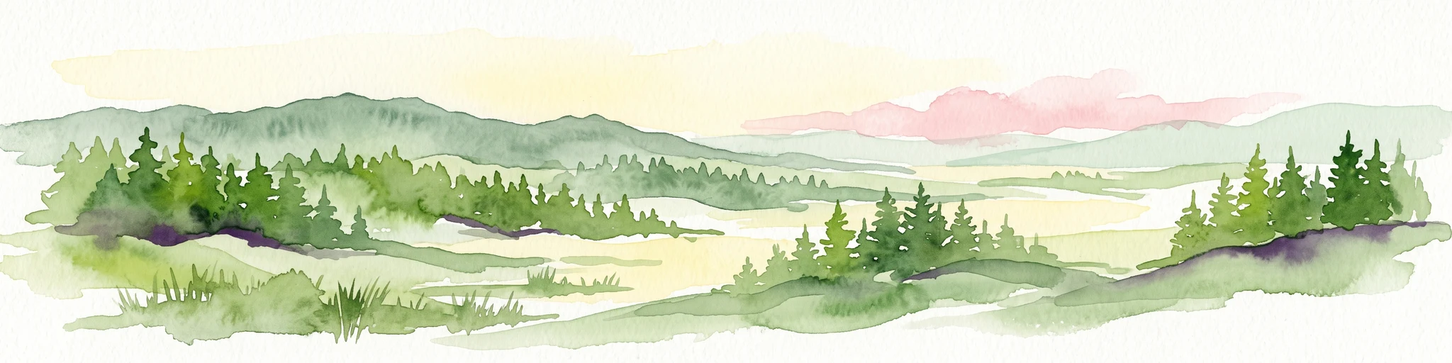
A watercolor painting showing a rolling landscape with green hills, patches of coniferous forest, and a soft, hazy sky.
Protected landscapeNebraska
About 97 km away#5 closest

Southeast

Nebraska National Forest: Geographic Context and Protected Landscape Boundaries

Mapped terrain across Sandhills and Pine Ridge districts.

This protected landscape is defined by its unusual dual-district structure, encompassing both the historic tree-planting experiments in the central Sandhills and the rugged, native pine-covered canyons of the Pine Ridge. Discover how these distinct environmental zones create a unique ecological footprint within the broader Nebraska geography through detailed map-based insights.

Area
574.1 km²
Established
1908
Relief
Upland
Climate
Temperate
National parkCherry County
190 km away#6 closest

Southeast

Samuel R. McKelvie National Forest: Mapping Nebraska's Sandhills Protected Landscape

An atlas view of rolling dune grasslands and forest mosaics in Cherry County.

Located in the heart of Cherry County, Samuel R. McKelvie National Forest presents a distinct landscape where prairie grasses meet planted pine islands. This overview examines the forest's placement within the Sandhills region, highlighting its role as a protected grassland unit near the shores of Merritt Reservoir and the Snake River corridor.

Area
469.76 km²
Established
1971
Relief
Upland
Climate
Temperate
Protected landscapeSouth Dakota
223 km away#7 closest

North

Grand River National Grassland: Protected Landscape and Regional Geography in South Dakota

Mapped prairie, riparian corridors, and badland terrain.

Grand River National Grassland represents a complex protected landscape in South Dakota. Managed by the U.S. Forest Service, this area features diverse landforms including sand dunes, claypan playas, and green ash draws. This record provides a structured geographic overview of the grassland mosaic, spanning Perkins, Corson, and Ziebach counties with significant cultural ties to local tribal lands.

Area
626.38 km²
Established
1960
Relief
Lowland
Climate
Temperate
Protected areaSouth Dakota
236 km away#8 closest

East

Fort Pierre National Grassland: An Atlas of South Dakota Mixed-Grass Prairie Ecosystems

Exploration of central Great Plains protected terrain and boundaries

Focusing on the authentic mixed-grass prairie of South Dakota, Fort Pierre National Grassland serves as a critical example of northern Plains conservation. Its landscape, marked by sweeping vistas and seasonal wetlands, provides a deep look into the spatial character and ecological heritage of the interior United States. Gain a precise understanding of its boundaries and the surrounding geographic features that define this expansive public land.

Area
469 km²
Relief
Upland
Access
Access unknown
Scope
Terrestrial
MoriAtlas Explorer

Continue Your Atlas Exploration of Wind Cave National Park's Geography

Deepen your understanding of Wind Cave National Park's protected landscape by exploring its detailed geographic features and mapped boundaries. This national park serves as a vital entry point for appreciating the regional atlas and natural terrain of Custer County. Continue to uncover the specific landscape identity and geographic context that defines this significant protected area within the United States.

Global natural geography