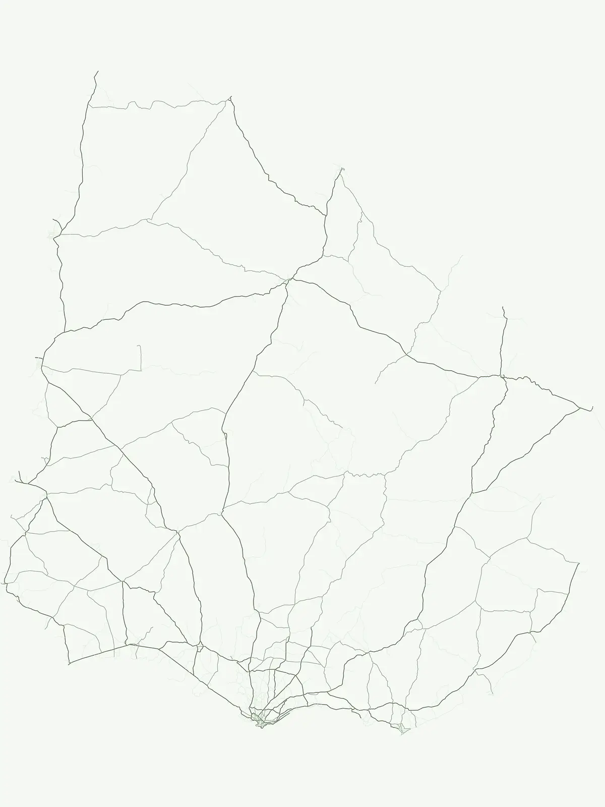
Browse the geographic distribution of managed natural landscapes and protected environments across the country
Comprehensive Atlas of Protected Areas and Conservation Sites Located Within Uruguay
This geographic atlas documents protected areas in Uruguay that serve as critical sites for conservation and natural habitat management. Users can trace the regional distribution of these landscapes, which represent diverse environments ranging from riparian woodlands to wetland ecosystems. Each entry provides clear mapping and context for exploring the national footprint of these essential conservation zones.
Flexible regional inventory covering general protected natural areas across Uruguay
Protected Area in Uruguay: National Conservation Sites and Mapped Reserves
Flexible inventory categories capture protected natural areas in Uruguay that fall outside sharper normalized management groups. Regional mapping highlights diverse conservation sites across riparian woodlands, wetlands, and northern prairies.
Uruguay Protected Area Park List and Conservation Sites
Browse matching protected areas in Uruguay to examine floodplain forests, wetlands, and native woodland reserves. Filtered country inventories provide precise geographic context for regional conservation landscapes.
Protected areaPaysandú
Área protegida con recursos manejados Montes del Queguay
Managed-resource landscape in the Paysandú river network
This protected area centers on a distinct floodplain basin in Paysandú, where silty soils and river confluence dynamics support a unique mosaic of riparian forest and wetland terrain. Explore the structural geography of this significant native woodland complex and its role within Uruguay's protected land system.
More designation routesExplore national parks, protected landscapes, and wildlife reserves in Uruguay.5
Compare Other Protected Area Designations and Park Types Across Uruguay
Compare protected area types in Uruguay to understand how national parks, wildlife reserves, and protected landscapes shape regional conservation. Analyzing these designation pathways reveals the broader structural framework governing natural sites across the country.
Browse nationally recognized parks and their regional geography.
National park
42%
Explore the mapped boundaries and regional atlas context for Uruguay's national parks. This designation-focused view highlights protected lands important for landscape conservation and biodiversity, offering a clear pathway to understanding the country's park network and its place within the broader South American geography.
Mapped regional parks and protected heritage territories.
Protected landscape
29%
Explore the diverse network of protected landscapes in Uruguay, a category focused on preserving scenic character and regional stewardship. This atlas provides structured access to areas where natural terrain and cultural influence create distinct, large-scale protected zones across the Uruguayan territory.
Examine the geographic coverage of wildlife reserves in Uruguay. This resource details protected habitat areas designed to maintain ecological integrity and safeguard animal populations across diverse regional landscapes.
Regional ecological stewardship and mapped conservation systems
Biosphere reserve
4%
Browse the geographic scope of biosphere reserves in Uruguay. These territories represent a vital approach to ecological stewardship, providing essential framework for research, sustainable land management, and coordinated protection of diverse natural environments.
Explore the designated natural monument sites within Uruguay. This selection focuses on compact areas of geological or scenic interest that are protected for their singular natural value. Discover how these landmark sites contribute to the regional geography and conservation of specific terrain types.