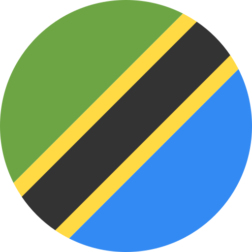
Tanzania: parks and protected areas
Parks and protected areas in Tanzania, including Serengeti and Mount Kilimanjaro.
24 parks

Trace the spatial distribution and regional spread of protected landscapes across the island.
Locate parks and protected areas in Madagascar, then select a park to open its profile.
Related tags
View mapped park locations and regional geography
Interactive map of parks and protected areas in Madagascar.
Explore matching national parks through clustered map points and detailed park profiles.
Compare protected landscapes and map park geographies across the Indian Ocean region and the African continent.
Parks and protected areas in Tanzania, including Serengeti and Mount Kilimanjaro.
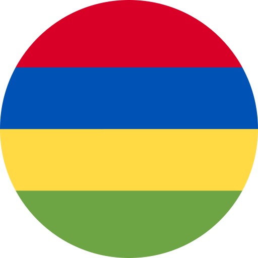
Parks and protected areas in Mauritius, including Ste. Anne and Black River Gorges National Park.
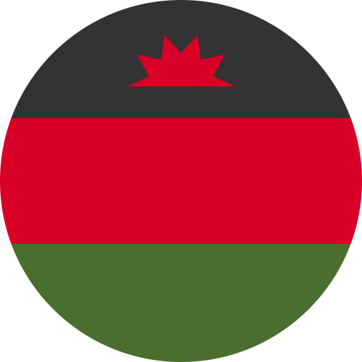
Parks and protected areas in Malawi, including Lake Malawi and Lake Chilwa.
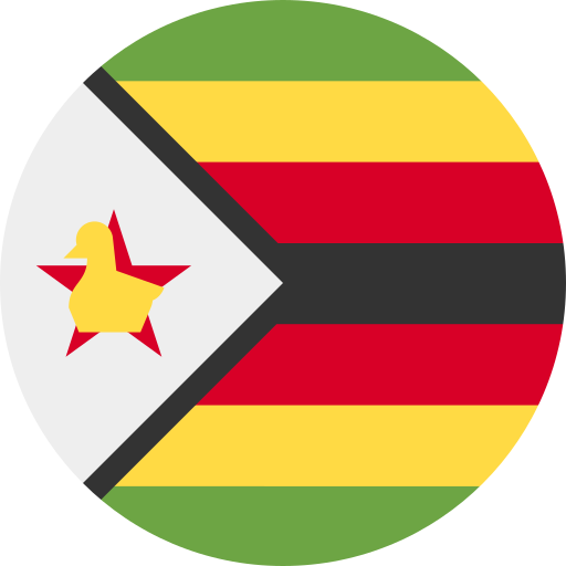
Parks and protected areas in Zimbabwe, including Mana Pools and Matobo.
Parks and protected areas in Mozambique, including Gorongosa and Limpopo.
Parks and protected areas in Comoros, including Karthala and Ntringui.
Parks and protected areas in Seychelles, including Ste Anne and Curieuse Island.
Parks and protected areas in Eswatini, including Hlane.
Open the park list for Madagascar to explore locations and park characteristics.