
Explore diverse karst terrain, subterranean water galleries, and significant fossil sites
Named Natural Features and Geological Formations of Aire and Candeeiros Ranges Natural Park
The Aire and Candeeiros Ranges Natural Park natural feature collection provides a structured overview of distinct geological and landscape entities located within or directly adjacent to this central Portugal protected area. Users can examine documented karst sinkholes, expansive underground cave systems, seasonal poljes, and prehistoric fossil trackways that define the park's characteristic limestone massif. This index organizes geographic landmarks to support regional landscape analysis and spatial understanding of the Estremadura Limestone Massif.
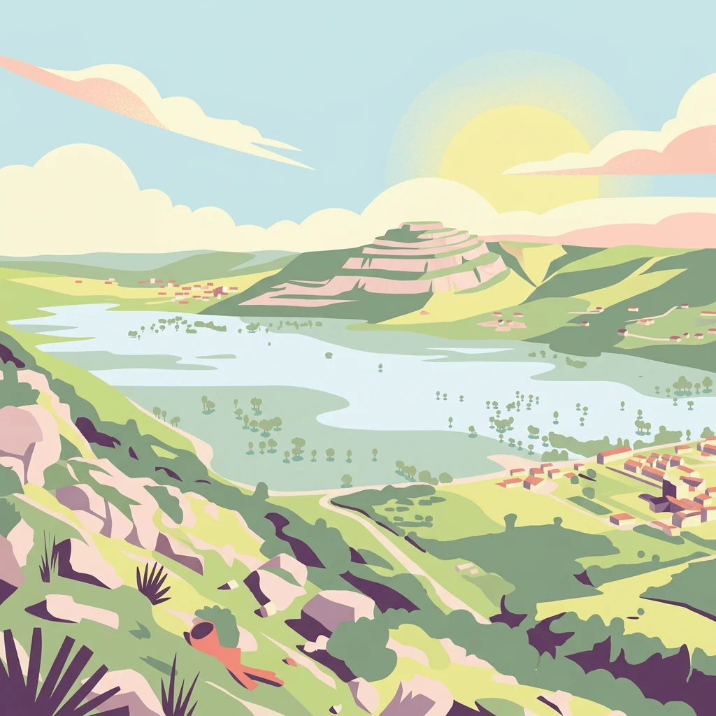
Karst landforms and underground cave systems associated with Aire and Candeeiros Ranges Natural Park
Natural Features and Geological Landmarks of Aire and Candeeiros Ranges Natural Park
Mapping surface water and hydrological connectivity
Rivers
Examine the distribution and physical characteristics of rivers associated with the limestone terrain of Aire and Candeeiros Ranges Natural Park. This collection provides essential context for understanding how water interacts with the karst landscape, from seasonal channels to subterranean drainage conduits, providing a detailed look at the park hydrography.
Subterranean openings in a protected karst landscape
Cave entrances
Review identified cave entrance locations throughout Aire and Candeeiros Ranges Natural Park. This inventory highlights the surface points connecting to the complex network of limestone galleries and underground drainage channels defining this significant Portuguese protected area.
Limestone structures and karst geography
Geological formations
Browse a focused collection of named geological formations associated with Aire and Candeeiros Ranges Natural Park. Each entry helps map the distinct structural features of this limestone region, from elevated plateaus to deep-seated karst assemblages characteristic of the protected area.
Continue Exploring the Geography of Aire and Candeeiros Ranges Natural Park
Deepen your understanding of Aire and Candeeiros Ranges Natural Park by exploring its detailed geographic context and mapped protected landscape features. Our platform helps you navigate the specifics of this protected area, connect it with the wider regional geography of Portugal, and expand your atlas exploration. Discover how this natural landscape fits into the broader mosaic of protected areas for more informed geographic insight.