
Mori Atlas logo
Park guides

Focused planning for Rwanda's savanna, lakes, and papyrus wetlands

Akagera National Park seasonal visitor guide for Rwanda’s Eastern Province

Explore Akagera National Park's available guides for Rwanda's mosaic of savanna, woodland, lakes, and papyrus swamps. The timing guide compares clearer wildlife viewing from June to September with the lush landscapes, fewer crowds, tougher roads, and more dispersed wildlife of wetter months.

Related tags

RwandaSavannaWetlandsBig FiveProtected Wetland

Rwanda's largest protected wetland and savanna reserve, home to the Big Five

Akagera National Park

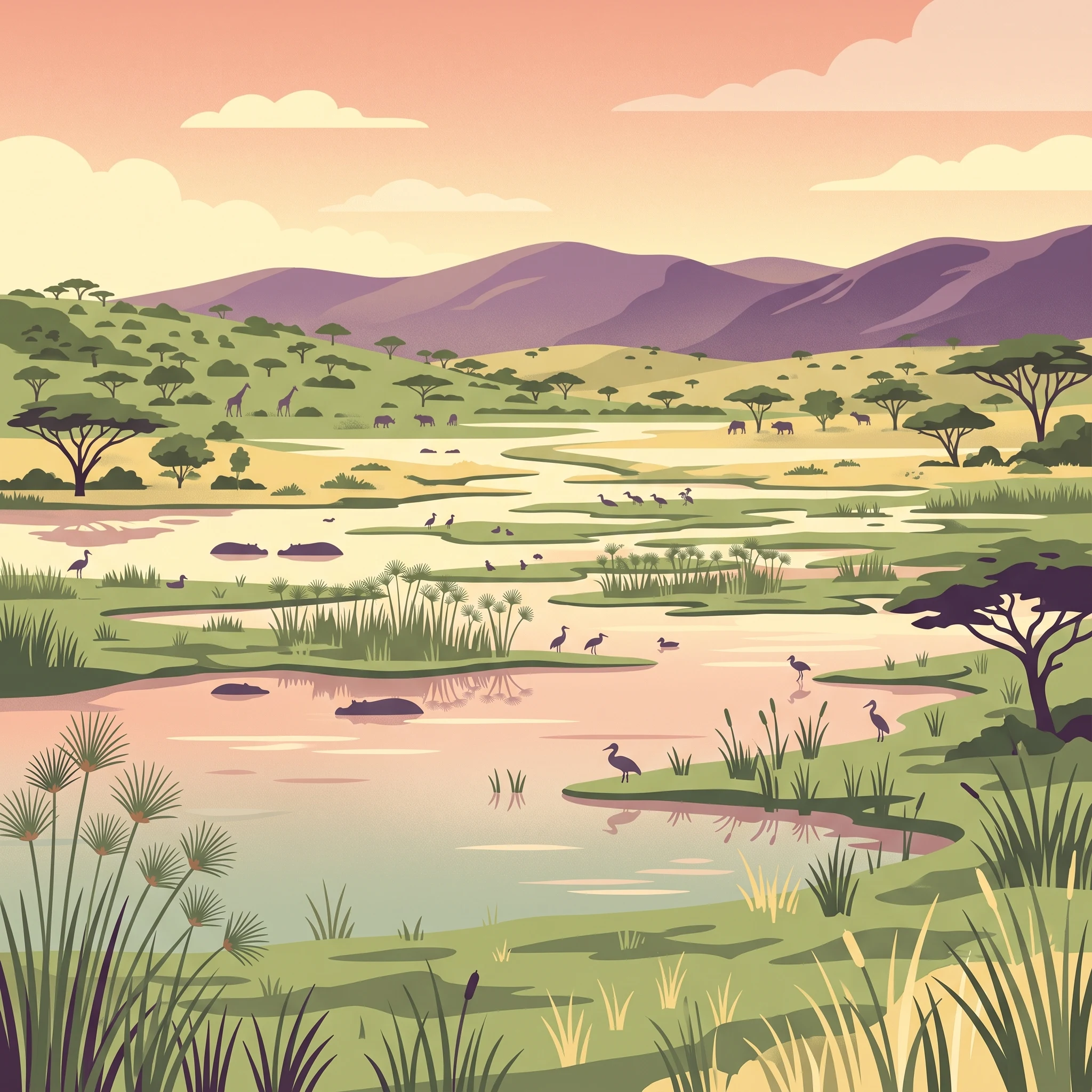
Akagera National Park occupies the northeastern corner of Rwanda, extending along the border with Tanzania in a landscape that blends tropical savanna with freshwater wetlands. The parks location at the intersection of the Albertine Rift and the Great Rift Valley has created a unique ecological setting where species from East African savannas and Central African forests meet. The Kagera River, one of the principal sources of the Nile, forms the eastern boundary and sustains a chain of lakes including Lake Ihema, the largest within the park. The parks wetlands represent the largest protected freshwater system in East-Central Africa, supporting exceptional biodiversity despite the regions human population density. Following a period of significant wildlife depletion in the 1990s and early 2000s, intensive management and security improvements have enabled the recovery of key species populations. The park now operates as a sustainable tourism destination, generating significant revenue for conservation and local communities while serving as a model for public-private conservation partnerships in Africa.

Location
Rwanda
Park type
National park
Established
1934
Area
1,122 km²
Akagera National Park Protected Landscape
1 guide

Compare available reference materials and targeted wildlife viewing topics.

Published Guides and Regional Resources for Akagera National Park

Access the complete collection of published reference materials focused specifically on seasonal conditions and wildlife viewing dynamics across Akagera National Park. Individual topics help visitors evaluate dry season visibility patterns against wetter month landscapes before planning exploration.
MoriAtlas Explorer

Continue exploring Akagera National Park's protected landscape and regional geography

Discover the intricate details of Akagera National Park's protected area and its place within the Eastern Province's broader geography. Understanding this national park's mapped boundaries and natural terrain offers essential insights for comprehensive atlas exploration and appreciating Rwanda's protected landscapes.