Mori Atlas logo
Park earthquake history

Review historical seismic event data, including magnitude and epicentre distance records

Recorded Earthquake History and Seismic Activity Near Parque nacional Antisana in the Andes

Review a detailed catalogue of historical earthquakes associated by geographic proximity to Parque nacional Antisana. These records organize seismic events according to epicentre distance from the protected Andean terrain, providing a transparent view of recorded activity without reflecting hazard assessments. Access documented dates, magnitudes, and focal depths to better understand the seismic context of this region in Napo.

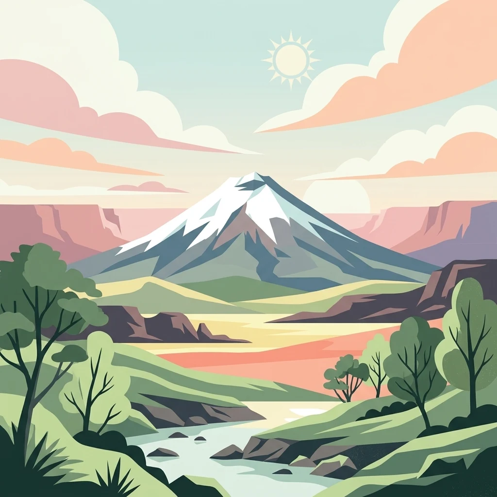
A flat-style digital illustration of a prominent, snow-covered volcanic peak centered in the distance, set above a river valley with rolling green hills, trees, and layered cliffs under a soft-colored sky with a simple sun.

An Andean sanctuary of glaciers, páramos and high-altitude wildlife on the flanks of Volcán Antisana.

Antisana National Park

Antisana National Park is a protected area located in the Cordillera Real of the Ecuadorian Andes, straddling the provinces of Napo and Pichincha. It surrounds Volcán Antisana, one of the country's major stratovolcanoes reaching 5,758 meters above sea level, and protects a continuous gradient of ecosystems that descend from glacial ice and high páramo down through cloud forests into montane evergreen forests. The park's elevated wetlands and upper watersheds serve as critical sources of water for the capital, Quito, and surrounding communities. The reserve was originally established in July 1993 as the Antisana Ecological Reserve, and was reclassified as a national park in 2021 through a ministerial agreement. It is administered within Ecuador's National System of Protected Areas and borders Cayambe-Coca National Park to the north, Sumaco Napo-Galeras National Park to the northwest, and the Colonso Chalupas Biological Reserve to the southwest, forming part of a broader Andean corridor of conservation. Antisana is recognized for its biodiversity across a wide altitudinal range, supporting Andean condors, Andean bears, mountain tapirs, páramo deer, and a striking variety of highland birds and amphibians. The presence of the Fundación Antisana, combined with community-based conservation initiatives, has helped shape the park into a working landscape where research, water protection, and local livelihoods intersect.

Location
Ecuador
Park type
National park
Established
1993
Area
1,205.8 km²
Highest point
5,758 m
Parque nacional Antisana Atlas and Geography

Track Parque nacional Antisana events by date, epicentre, magnitude, depth, and distance

Search the earthquake record history around Parque nacional Antisana

The historical catalogue associates earthquakes with Parque nacional Antisana by comparing reported epicentre positions with calculated distance from the park, without treating that link as proof of impact or boundary occurrence. Dates, magnitudes, depths, reported place names, distance figures, and source access retain the factual context required to examine each listed event.

Sort by
Magnitude
Location

This page describes catalogued earthquakes associated with the park by epicentre location and distance. It does not establish causation, assess current danger, or predict future earthquakes.

No earthquake records match the current filters

Park atlas

Broaden discovery beyond the Parque nacional Antisana earthquake catalogue

Continue from Parque nacional Antisana to other protected parks

A separate group of protected park pages gives readers somewhere new to explore after the Parque nacional Antisana earthquake records. Its destinations are not presented as sharing Ecuadorian geography, volcanic terrain, legal designation, proximity, catalogue coverage, earthquake activity, or seismic conditions with this park.
National parkEcuador
Park boundaries overlap#1 closest

East

Sumaco Napo-Galeras National Park: Ecuador's Volcanic National Park Landscape

Explore protected areas and biodiversity in the Andean-Amazon transition.

Sumaco Napo-Galeras National Park protects a dramatic volcanic landscape in Ecuador, showcasing a significant elevation gradient that supports diverse cloud forest and Amazonian rainforest habitats. This national park is recognized for its endemic species and rich avifauna, offering a compelling case study for understanding protected land geography and ecological transitions within South America.

Area
2,067.49 km²
Established
1994
IUCN
II
Relief
Mountain
Biosphere reserveNapo
About 4.7 km away#2 closest

Southwest

Reserva Biológica Colonso-Chalupas: Protected Landscapes of the Upper Napo Basin

A critical vertical corridor of the Ecuadorian Andes and Amazon.

Reserva Biológica Colonso-Chalupas represents a unique bioclimatic transition, stretching nearly 4,000 meters in elevation. This biosphere reserve serves as a functional corridor connecting high-altitude páramo and cloud forests to warm, humid Amazonian lowlands, forming a key structural element of the eastern Andean conservation landscape.

Area
931.63 km²
Established
2014
Relief
Mountain
Climate
Alpine
National parkCotopaxi Province
17 km away#3 closest

West

Cotopaxi National Park: Ecuador's Mapped Protected Landscape and Regional Geography

Explore the geographic context of this national park.

Cotopaxi National Park represents a key protected landscape within Ecuador, located in Cotopaxi Province. This page facilitates detailed exploration of the park's mapped boundaries and its contribution to the regional geography. Understand the specific characteristics of this national park as part of a broader atlas of protected areas and natural terrains.

Area
333.93 km²
Established
1975
IUCN
II
Relief
Mountain
National parkEcuador
18 km away#4 closest

South

Llanganates National Park: Detailed Atlas Entry for Ecuador's Protected Landscape

Explore the mapped geography and regional context of this Ecuadorian national park.

Llanganates National Park is a designated national park offering rich opportunities for geographic and landscape exploration. As a significant protected area in Ecuador, it provides crucial context for understanding the country's natural terrain and the distribution of its conservation landscapes. This entry is designed to facilitate an atlas-style discovery of the park's location, boundaries, and its role within the broader geography of the region.

Area
2,197.07 km²
Established
1996
IUCN
II
Relief
Mountain
A pale, minimalist watercolor painting showing a wide, grassy field leading to distant, low mountain hills under a bright, light sky.
Wildlife reservePichincha
About 27 km away#5 closest

West

Refugio de Vida Silvestre Pasochoa: Volcanic Crater and Andean Forest Protected Area

Geographic atlas of the Pichincha volcanic highlands

Located in the Pichincha province, Refugio de Vida Silvestre Pasochoa protects an essential highland habitat defined by its steep volcanic crater walls and dense bamboo stands. This area provides a scientific reference for inter-Andean vegetation, featuring a sharp contrast between forested inner slopes and surrounding agricultural landscapes. Map the ecological gradient of this protected refuge and explore its role within the broader northern Andean geographic context.

Area
9.799 km²
Established
1996
IUCN
Ib
Relief
Mountain
A wide watercolor illustration showing a misty landscape with green trees in the midground and faint mountain peaks in the background.
Nature reserveEcuador
43 km away#6 closest

West

Reserva Ecológica Los Illinizas: Geographic Atlas and Andean Protected Nature Reserve

Volcanic terrain and cloud forest ecosystems in central Ecuador

Spanning across the provinces of Cotopaxi, Pichincha, and Santo Domingo de los Tsáchilas, Reserva Ecológica Los Illinizas preserves a significant vertical gradient of Andean ecosystems. The reserve protects the western flanks of the Illiniza volcanoes, Quilotoa, and El Corazón, offering a detailed look at high-altitude biodiversity and the transition from rugged mountain peaks to lush western cloud forests.

Area
1,342.33 km²
Established
1996
IUCN
Ia
Relief
Mountain
Watercolor illustration showing a panoramic view of a wide valley with green hills, a small stream, and forested clusters, rendered in a light and airy style.
Nature reservePichincha
About 50 km away#7 closest

Northwest

Reserva Geobotánica Pululahua: Protected Volcanic Caldera and Highland Ecosystems

A distinct geobotanical reserve in the Pichincha region of the Ecuadorian Andes.

Reserva Geobotánica Pululahua is a protected natural area centered on a massive, 12-kilometer-wide volcanic caldera. Its landscape features three prominent lava domes and a rare altitudinal gradient of vegetation, spanning from semi-dry mountain shrubland to dense cloud forest. This reserve serves as a critical study of volcanic geology and human-landscape interaction in the high Andes, offering a concentrated look at Ecuador's vertical ecological zonation.

Area
34.417 km²
Established
1966
Relief
Mountain
Climate
Subtropical
A horizontal watercolor painting depicting a purple mountain range in the background behind soft green rolling hills and a stream in the foreground.
National parkEcuador
About 56 km away#8 closest

North

Parque nacional Cayambe-Coca: Regional Geography and Protected Landscape Analysis

Equatorial volcanic peaks and Amazonian slope geography

Examine the physical geography of Parque nacional Cayambe-Coca, a protected area in Ecuador known for its extreme elevation shifts. The mapped terrain transitions from the glaciated summit of Volcán Cayambe through extensive páramo wetlands and montane cloud forests into the Amazonian foothills, providing a comprehensive case study of Andean environmental gradients.

Area
4,031.03 km²
Established
1970
IUCN
II
Relief
Mountain
MoriAtlas Explorer

Continue Exploring the Protected Landscapes of Parque nacional Antisana

Deepen your understanding of Parque nacional Antisana by examining its unique altitudinal range and hydrological significance. MoriAtlas provides the structured mapping and geographic context necessary to visualize this critical Andean protected area, from its ice-capped volcanic peaks to the biodiverse cloud forests below.