
Mori Atlas logo
Park guides

Focused insights into seasonal timing, volcanic geography, and protected ecosystem dynamics

Expert Guides and Regional Planning Resources for Arusha National Park in Northern Tanzania

Access a structured collection of resources covering the diverse volcanic landscapes of Arusha National Park. These guides provide essential context on Mount Meru's slopes, the alkaline Momella Lakes, and seasonal conditions to support informed planning for visits to this compact northern Tanzania protected area.

Related tags

volcanic landscapesmountain parkscrater lakesbirdwatchingmontane forests

Tanzania's compact volcanic wilderness of craters, lakes, and mountain forests

Arusha National Park

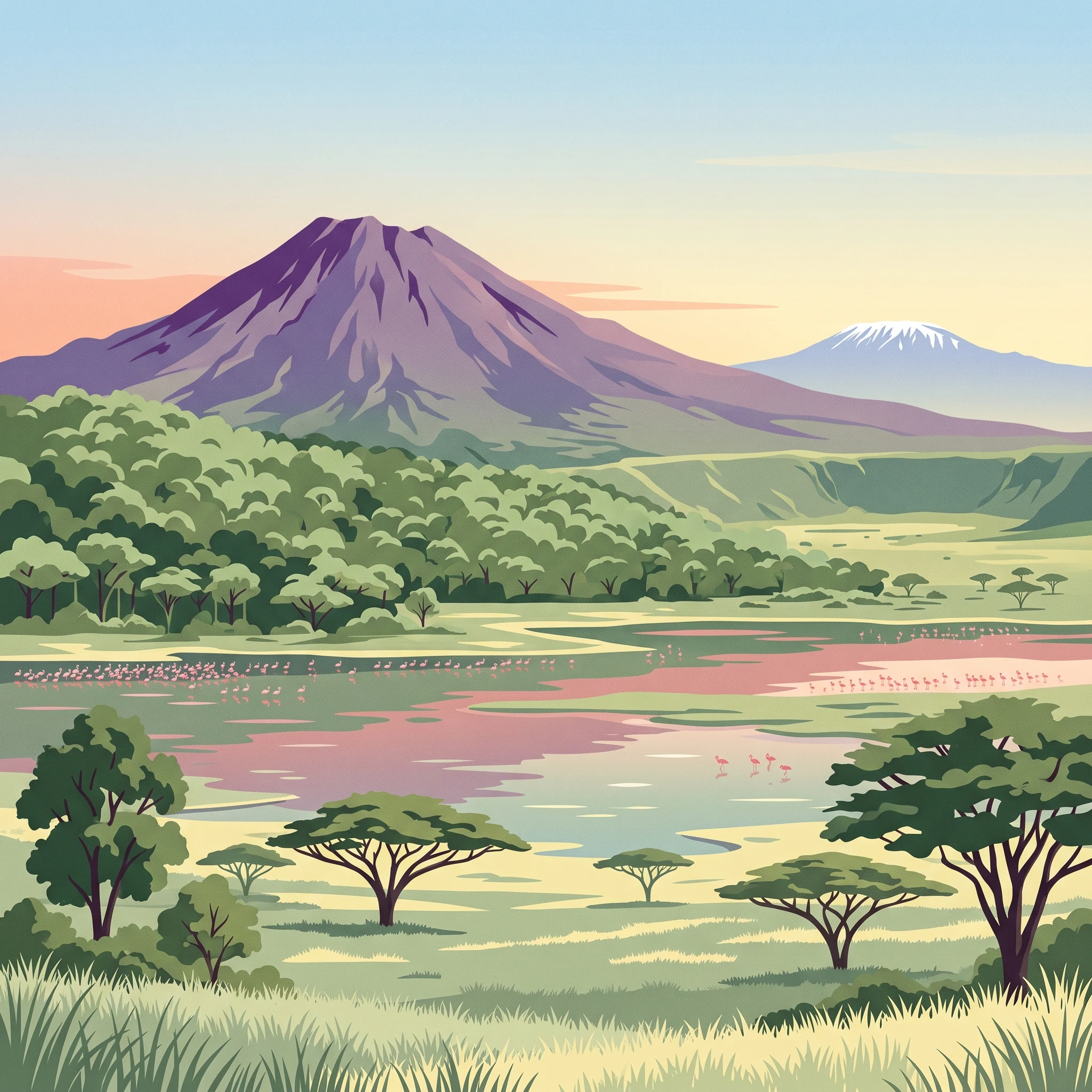
Arusha National Park represents one of Tanzania's smaller but ecologically most diverse protected areas, packing remarkable geographic variety into its 137-square-kilometer footprint. The park occupies a strategic position in the heart of northern Tanzania's renowned safari circuit, lying along a 300-kilometer corridor of protected lands that connects the Serengeti and Ngorongoro Crater in the west to Kilimanjaro National Park in the east. This positioning makes Arusha an ideal entry or exit point for travelers exploring the region, with the park situated just a few kilometers northeast of Arusha city and within easy reach of Kilimanjaro International Airport. The park's elevation range spans from the shores of the Momella Lakes at lower altitudes to the summit of Mount Meru at 4,566 meters, creating dramatic transitions between ecosystems. The western section centers on Meru Crater, where the Jekukumia River channels through a dramatic volcanic landscape with Mount Meru's peak standing majestically on the crater rim. The southeastern portion features the Ngurdoto Crater, a collapsed volcanic cone now filled with expansive grasslands that support substantial wildlife populations. The northeastern sector contains the Momella Lakes, a series of shallow alkaline lakes famous for their vivid algal colors that shift between pink, blue, and green depending on light conditions and seasonal nutrient flows. Despite its modest size compared to neighboring reserves like Serengeti or Tarangire, Arusha National Park offers exceptional ecological diversity, with visitors able to experience montane forest, grassland, wetland, and volcanic landscapes within a single day of exploration.

Location
Tanzania
Park type
National park
Established
1960
Area
137 km²
Highest point
4,566 m
Arusha National Park Protected Area Details
1 guide

Compare published reference topics to match specific conservation and seasonal questions

Arusha National Park Published Guide Collection and Regional Resources

Browse the complete collection of published reference materials dedicated to planning visits and evaluating seasonal conditions across protected Tanzanian landscapes. Compare focused themes covering dry season wildlife viewing, Mount Meru hiking logistics, and wetter months birdwatching opportunities.
MoriAtlas Explorer

Continue exploring Arusha National Park's geography and protected landscape

To deepen your understanding of Arusha National Park, focus on its specific mapped boundaries and regional geographic context. Examining this protected area reveals how its natural terrain contributes to the atlas view of northern Tanzania. Continue your exploration to grasp the full geographic significance and protected landscape characteristics that define Arusha National Park.