

Mori Atlas logo
Park guides

Focused insights covering seasonal visit timing and regional park characteristics.

Expert Guides and Planning Resources for Aukštaitija National Park in Lithuania

Discover the collection of dedicated planning resources for Aukštaitija National Park, Lithuania's oldest protected landscape. These guides provide structured information on seasonal visit timing and environmental conditions, assisting with preparation for exploring the park's dense lake network and historic pine forests.

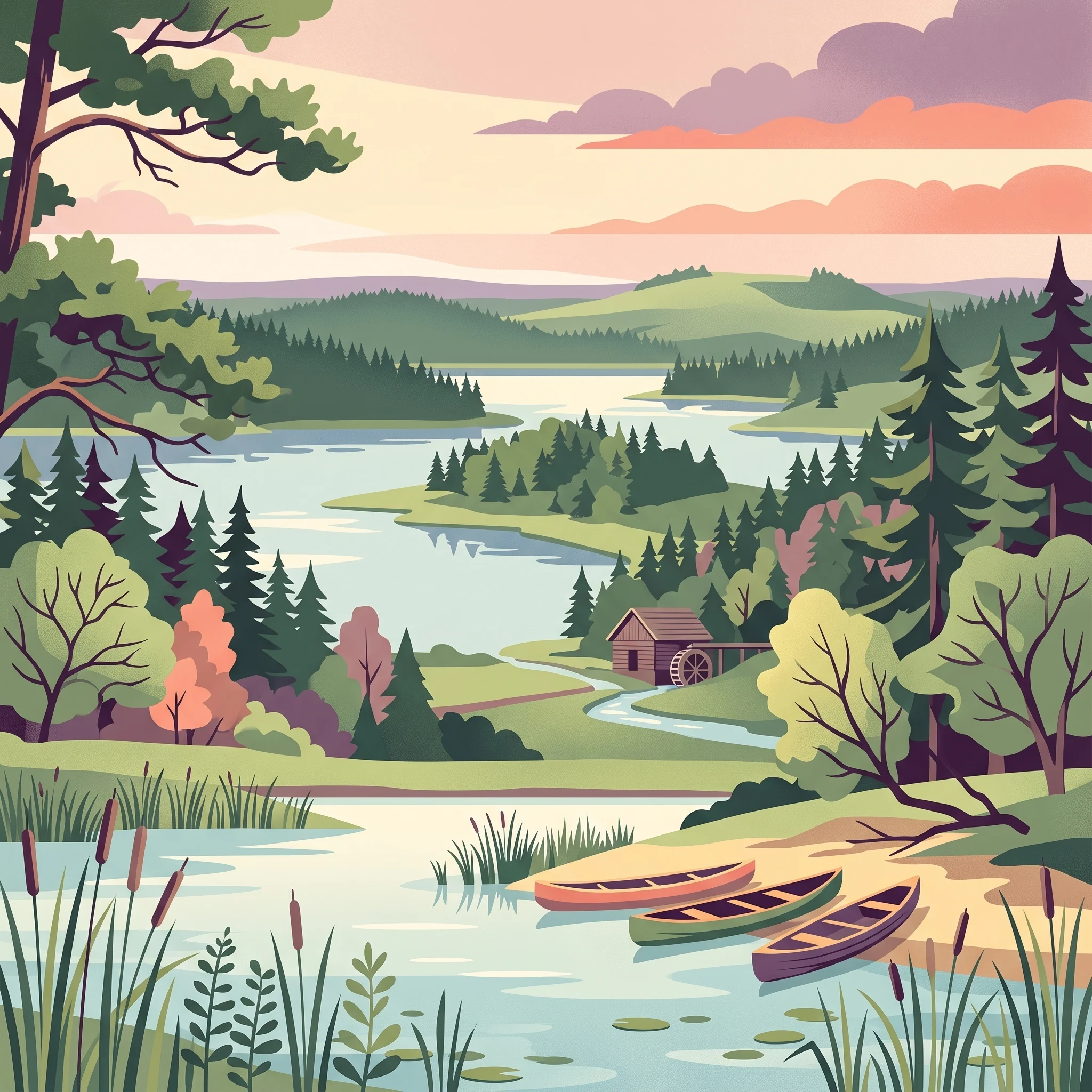
Illustrated landscape scene featuring a river with waterfall, pine trees, rolling hills, and colorful sky

Lithuania's oldest national park, protecting a vast lake-dotted forest landscape in the country's northeastern highlands

Aukštaitija National Park

Aukštaitija National Park represents the flagship protected area of Lithuania, established in 1974 as the first national park in the Lithuanian SSR and the third such park in the Soviet Union after Estonia and Latvia. The park was originally named Lithuanian SSR National Park to emphasize its pioneering status within the republic, and was renamed Aukštaitija National Park in 1989 following the establishment of four additional national parks named after Lithuania's ethnographic regions. The park occupies a geologically diverse terrain where two distinct highland regions—the older Švenčionių-Naručio morainic highlands and the younger Aukštaičių highlands—are separated by the sandy Žeimena plain, creating a complex mosaic of landforms, soils, and ecological communities. This geographic diversity, combined with the park's extensive lake network and large forest blocks, has produced an exceptionally biodiverse landscape that supports species assemblages found nowhere else in Lithuania. The park's administrative center is located in Palūšė, a village that has developed into the primary tourism hub with accommodations, boat rentals, and visitor services. The park spans three administrative municipalities—Ignalina, Utena, and Švenčionys—reflecting the regional identity of Aukštaitija, Lithuania's highlands in the northeastern part of the country.

Location
Lithuania
Park type
National park
Established
1974
Area
410.6 km²
Aukštaitija National Park Protected Landscape
MoriAtlas Explorer

Continue Mapping Aukštaitija National Park's Regional Geography and Protected Lands

Deepen your geographic understanding of Aukštaitija National Park by exploring its intricate mapped boundaries and the surrounding protected landscapes. MoriAtlas provides structured data to visualize this significant national park's place within the broader Baltic atlas, revealing connections between its unique terrain and regional conservation efforts. Continue your atlas exploration to understand the full scope of this protected natural area.