
Mori Atlas logo
Park guides

Focused timing context for a fly-in Banks Island wilderness

Aulavik National Park visit timing guide for the Northwest Territories

Explore Aulavik National Park's available guides for this roadless Banks Island polar desert. The timing guide centres on the brief late-June to early-August window for paddling the Thomsen River under continuous daylight, while explaining the extreme cold, darkness, isolation, and safety constraints outside that period.

Related tags

Arctic wildernessPolar desertMuskox habitatRemote national parkNorthern Canada

Canada's Arctic polar desert protecting the world's northernmost navigable river and Earth's highest muskox population

Aulavik National Park

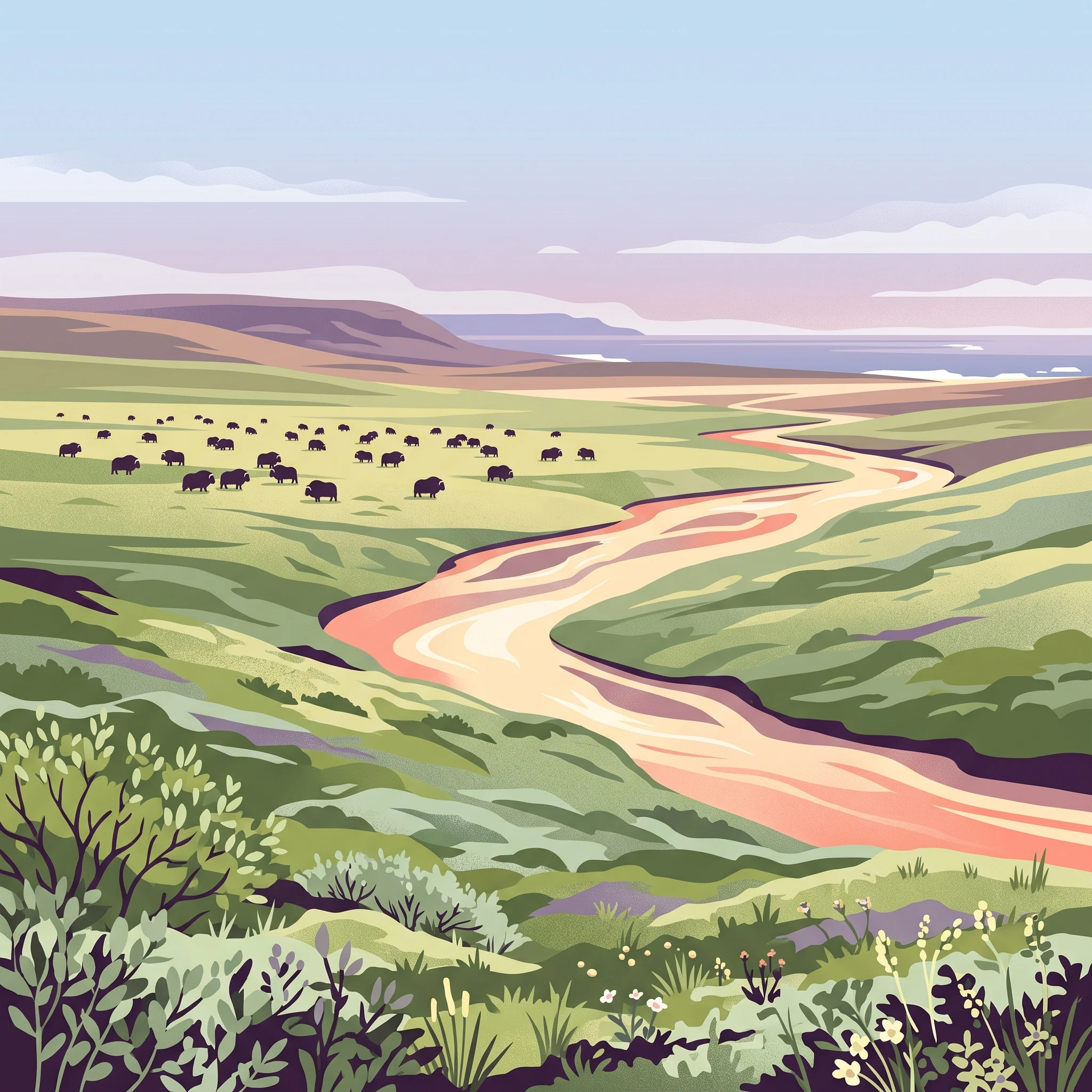
Aulavik National Park represents one of Canada's most isolated and ecologically distinct protected areas, located on Banks Island in the far northern Northwest Territories. The park encompasses approximately 12,274 square kilometres of Arctic Lowlands at the northern terminus of this large island in the Beaufort Sea. Established in 1992, the park protects a polar desert environment that experiences extremely low precipitation, high winds, and temperatures that define the extreme edge of terrestrial life in North America. The landscape is characterized by tundra vegetation, coastal wetlands along the northern shore facing the McClure Strait, and an upland plateau in the southern regions that rises to 450 metres above sea level. The park is completely treeless, a consequence of both latitude and the arid polar desert conditions that prevent tree growth. Access to the park is exclusively by air, with visitors chartering aircraft to one of four designated landing sites, reflecting the remote and challenging nature of this Arctic wilderness. The park holds deep cultural significance, with the Inuvialuktun name "Aulavik" translating to "place where people travel," acknowledging the long history of human occupation and movement through these lands.

Location
Canada
Park type
National park
Established
1992
Area
12,200 km²
Aulavik National Park Protected Landscape
1 guide

Compare published reference topics to match specific Arctic research and timing questions

Aulavik National Park Published Guide Collection and Topic Index

Published reference materials for Aulavik National Park provide focused thematic coverage regarding viable summer visitation windows. Available topics address the brief Arctic operational season and Thomsen River conditions for specialized travel planning.
MoriAtlas Explorer

Continue Exploring Aulavik National Park's Geographic and Protected Landscape Details

Delve deeper into the specific geography and protected area characteristics of Aulavik National Park. Understanding its mapped boundaries and regional context is key to appreciating its role within the Northwest Territories. This focus provides valuable insights for anyone interested in the structured exploration of protected lands and their surrounding natural landscapes.