
Why Bacher Lay stands out
Bacher Lay is best known for its dramatic, near-vertical basalt quarry wall and the adjacent geological feature called the Pfaffenmal, an 18 metre high columnar basalt cone. The combination of exposed basalt cliffs, water bodies with varied shorelines, dry grassland, and tall herb communities gives the reserve a concentrated mosaic of habitat types within a small footprint, supporting amphibians, reptiles, breeding birds, and orchids.
Bacher Lay history and protected-area timeline
The area's modern history is closely tied to its industrial past as a basalt quarry. After extraction ceased, the exposed rock faces, quarry pools, and surrounding land were left in a state that gradually revealed ecological and geological value rather than industrial utility.
Formal recognition came on 28 October 1996, when the Bezirksregierung Koblenz issued the legal ordinance that established Bacher Lay as a nature reserve. The stated purpose of the designation was to preserve and develop the site's combination of standing and flowing waters with varied shorelines, dry grasslands, tall herb communities, and basalt cliff faces as habitat for rare and threatened species, particularly amphibians, reptiles, breeding birds, and orchids. The site is also recorded as a geotope within the Geopark Westerwald-Lahn-Taunus, reflecting ongoing recognition of its geological significance in the wider regional network.
Bacher Lay landscape and geographic character
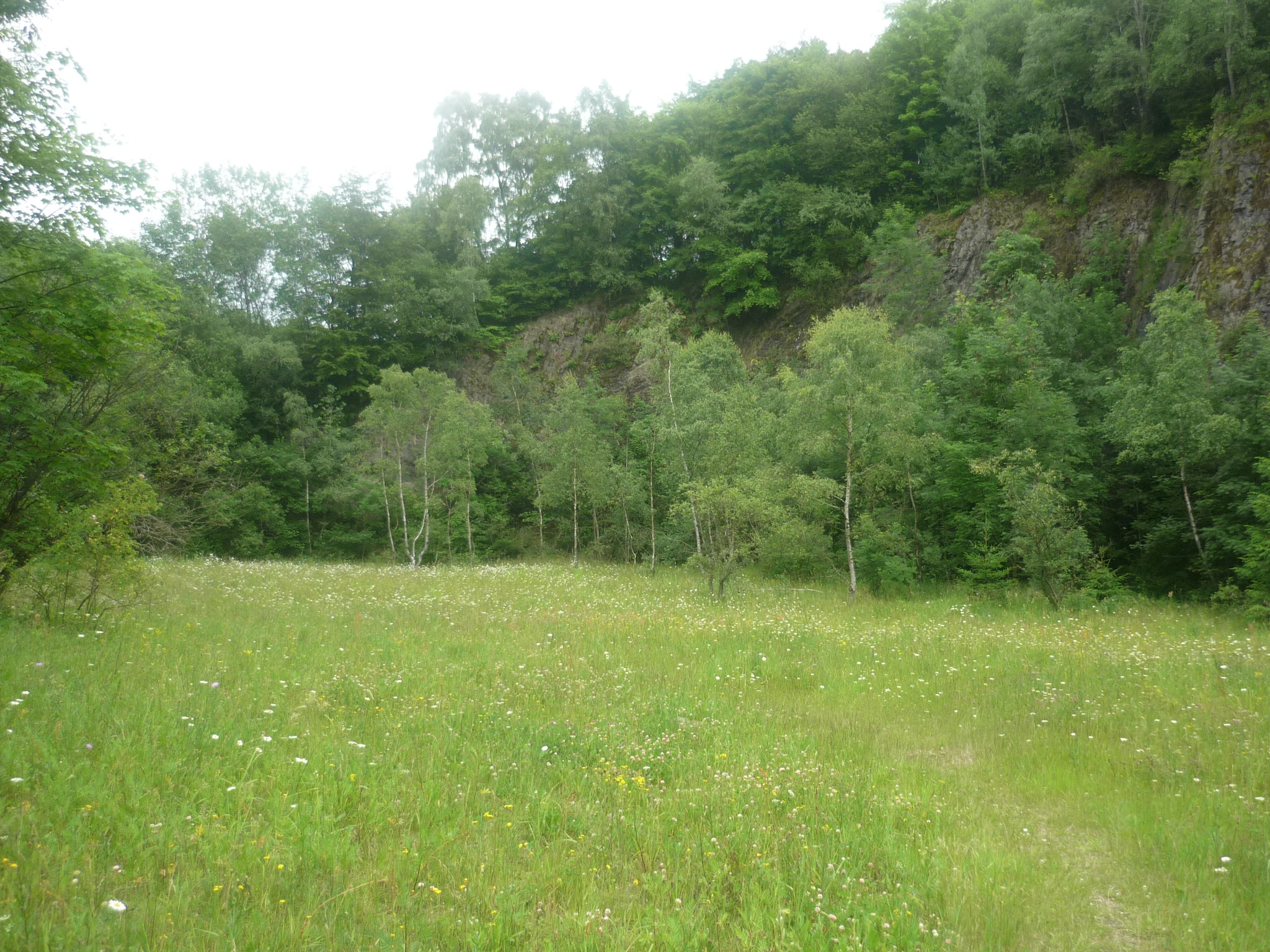
The landscape of Bacher Lay is a compact and visually striking mix of quarry terrain, river valley, and semi-open habitats. The dominant feature is a near-vertical basalt cliff produced by earlier quarrying, which gives the site an unusual degree of topographic relief for such a small reserve. Just outside the main quarry, the Pfaffenmal forms an 18 metre high columnar basalt cone in Meilerstellung, where the cooling columns radiate around a central axis, adding a distinctive geological landmark to the surrounding scenery.
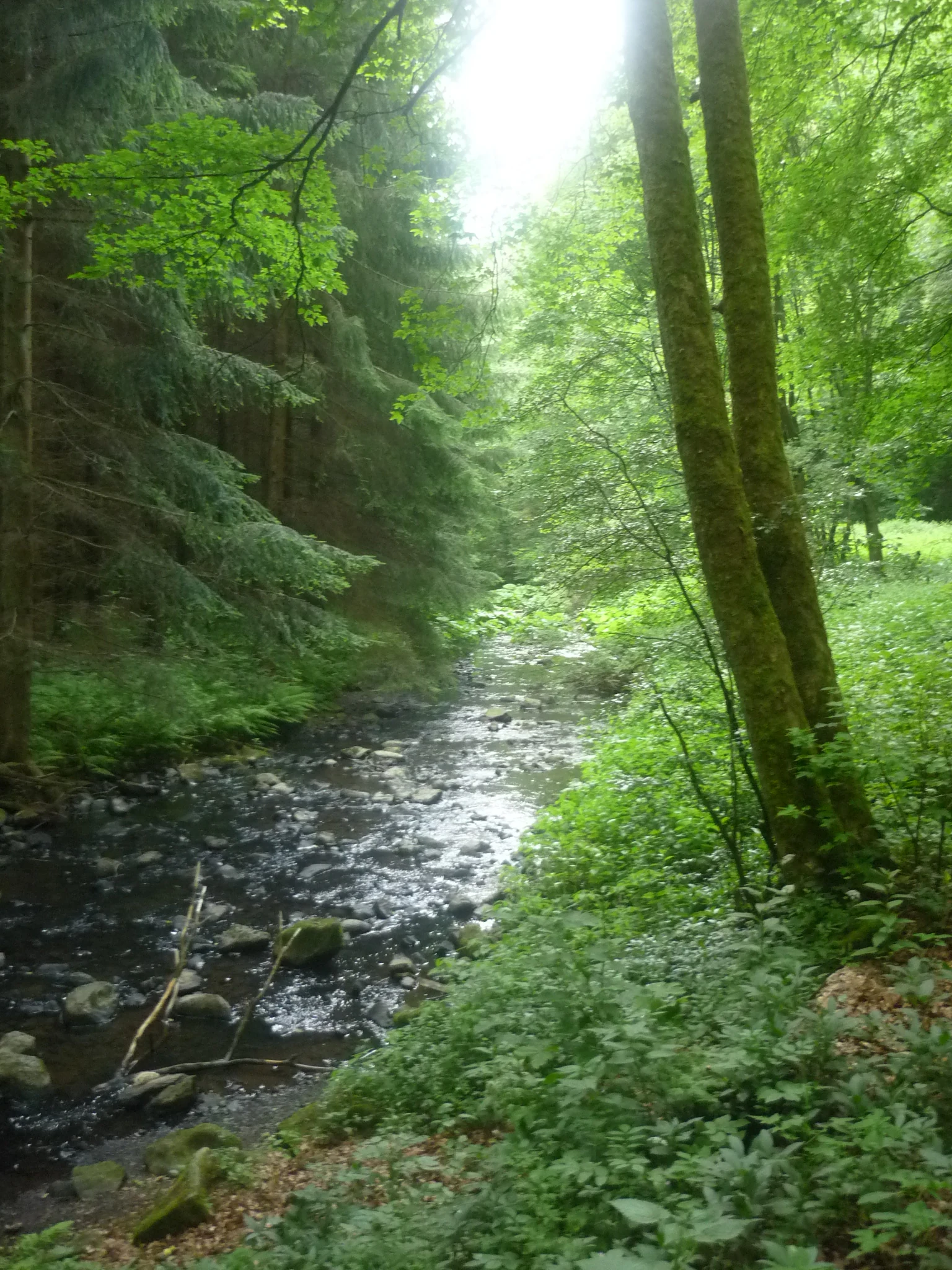
The reserve lies directly along the Schwarze Nister, a tributary that feeds the larger Nister, and this river context shapes the broader valley setting. Quarry workings have left in their wake a range of micro-relief features including rock ledges, scree, and pools of standing water at various levels, which sit alongside the steep and shallow shorelines of the flowing stream. Dry grassland and tall herb communities fill the flatter areas, while the cliff faces and rock outcrops provide exposed vertical habitat. Together these elements create a tightly layered landscape that feels far more rugged than its modest area would suggest.
Bacher Lay ecosystems, habitats, and plant life
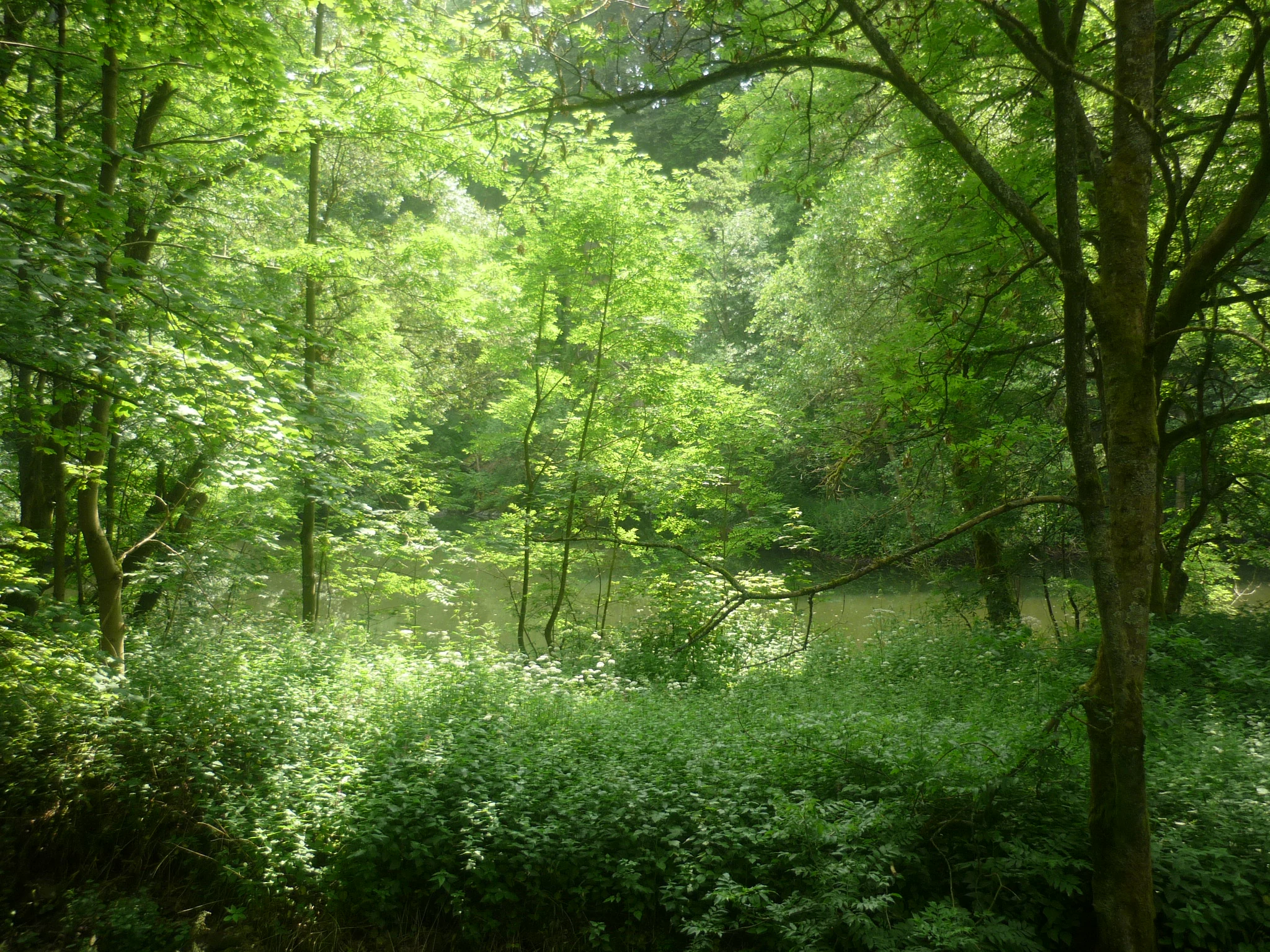
Ecologically, Bacher Lay functions as a habitat island of unusual concentration for the Westerwald. The interplay between basalt cliffs, rocky slopes, quarry pools, flowing water, dry grassland, and tall herb vegetation produces a stack of habitat types in very close proximity. Standing and flowing waters with both shallow and steep banks offer aquatic and shoreline niches, while the dry grasslands and Hochstaudenfluren provide open meadow conditions that are increasingly rare in intensively cultivated parts of the region.
The exposed basalt surfaces and scree generate warm microclimates that contrast with the cooler, damper stream and pool environments, supporting plant communities that range from drought-tolerant grassland species to moisture-loving tall herbs. This habitat diversity, packed into a compact site, is the core of the reserve's ecological value and underpins the formal protection purpose set out in its 1996 designation ordinance.
Bacher Lay wildlife and species highlights
The reserve is recognized specifically for the wildlife communities that this habitat mosaic supports. The official protection ordinance highlights amphibians, reptiles, and bird species as priority groups, along with orchids among the flora, indicating that the management focus is on species tied to the combination of water bodies, cliff faces, dry grassland, and tall herb communities.
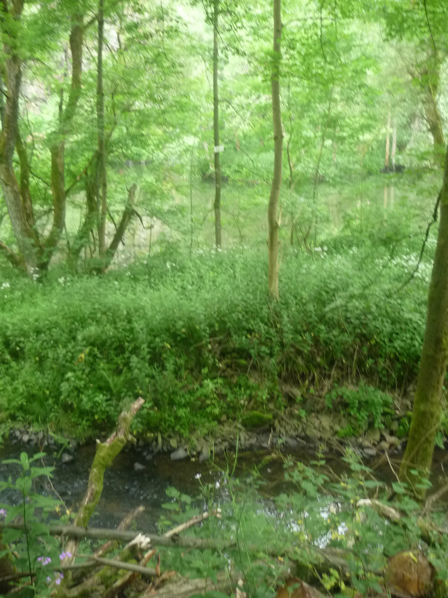
Quarry pools and the adjacent Schwarze Nister provide breeding and foraging habitat for amphibians, while the warm, exposed rock faces and dry slopes offer shelter and basking opportunities for reptiles. The varied shoreline profiles and the vertical basalt structures create nesting and perching conditions for bird species that benefit from a mix of open water, rock, and meadow. The grassland and tall herb zones, in turn, support pollinator groups including the orchid species explicitly noted in the designation purpose.
Bacher Lay conservation status and protection priorities
Bacher Lay's conservation significance lies in how a compact former industrial site has been formally recognised as both a nature reserve and a geotope. The 1996 ordinance identifies the protection purpose as the preservation and development of standing and flowing waters with varied shorelines, dry grasslands, tall herb communities, and basalt cliff faces as a refuge for rare and threatened species, particularly amphibians, reptiles, breeding birds, and orchids.
At the international level, the site is listed under IUCN Category IV as a Habitat/Species Management Area and is recorded in the World Database on Protected Areas under WDPA ID 162315. Its status as a geotope within the Geopark Westerwald-Lahn-Taunus adds a geological dimension to its conservation profile, meaning that the reserve is valued not only for biodiversity but also as a representative example of the region's basalt and quarry heritage.
Bacher Lay cultural meaning and human context
The name of the reserve reflects long-standing local landscape terminology. 'Lay' is the regional Westerwald word for a quarry, while 'Bach' refers to what was historically an independent settlement and is now part of the municipality of Nisterau. Together, the name essentially encodes the site's origins as both a working quarry and a place associated with a former village community.
The surrounding area includes nearby Bad Marienberg, a town known as a climatic health resort, and the village landscapes of Bach, Eichenstruth, and Stockhausen-Illfurth, as well as the broader Westerwaldkreis network of nature reserves. The quarry's transition from an extraction site to a protected area can be read as part of a wider regional pattern in which former extractive landscapes are reinterpreted as places of natural and cultural heritage value.
Top sights and standout views in Bacher Lay
Among the standout features of Bacher Lay are its near-vertical basalt quarry wall, the Pfaffenmal columnar basalt formation rising about 18 metres, and the unusually tight clustering of aquatic, meadow, and cliff habitats within a 44.7 hectare footprint. Its joint status as a registered nature reserve, an IUCN Category IV site, and a geotope in the Geopark Westerwald-Lahn-Taunus gives it a layered profile that is uncommon for a reserve of its size in Rhineland-Palatinate.
Best time to visit Bacher Lay
Because Bacher Lay is a small, easily walked reserve a few kilometres from Bad Marienberg, the character of a visit shifts primarily with the seasons rather than with operational calendars. Late spring and early summer tend to bring out the botanical interest of the dry grasslands and tall herb communities, including the orchid species that are part of the formal protection purpose. Warm summer days highlight the reptile and insect activity on the exposed basalt slopes and dry meadow areas, while the still pools and stream margins support amphibian presence around their typical breeding windows.
Autumn offers quieter conditions and stronger visibility of the basalt cliff faces and Pfaffenmal as surrounding vegetation thins. Winter visits emphasise the geological structure of the site and the flow regime of the Schwarze Nister. Because the reserve is shaped by quarry terrain, sturdy footwear is advisable across seasons, and visitors should always remain on established paths to protect both the cliff edges and the sensitive habitat mosaic.