
Mori Atlas logo
Park guides

Available seasonal planning resources for the diverse Mount Royal Range wilderness area

Comprehensive Guide Collection for Barrington Tops National Park, New South Wales

Discover a selection of specialized resources for Barrington Tops National Park. These guides provide focused insights into seasonal conditions, climatic variations across the plateau, and the ecological characteristics of this high elevation wilderness environment within the Great Dividing Range.

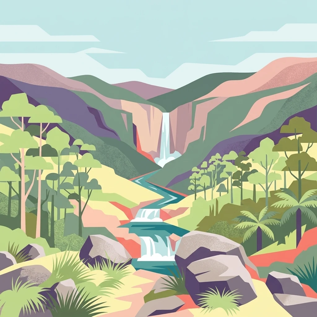
Illustrated view of a waterfall cascading through rocky terrain with forested mountains and a river

Alpine wilderness and Gondwana rainforest on the Barrington Tops plateau

Barrington Tops National Park

Barrington Tops National Park represents one of New South Wales premier alpine wilderness areas, offering visitors a罕见 combination of accessible natural beauty and significant ecological heritage. The park occupies a elevated plateau position within the Mount Royal Range, creating a landscape of remarkable topographic diversity. The underlying geology, composed of ancient sedimentary rocks capped with granite, has been weathered over hundreds of millions of years to produce the distinctive rounded boulder formations visible throughout the park today. This geological foundation supports an equally diverse ecological character, where visitors can traverse from subtropical rainforest valleys with towering tree ferns and ancient Antarctic beech, through temperate eucalypt forests, to subalpine heath communities on the windswept peaks. The Barrington River and Williams River systems traverse the park, providing critical aquatic habitats and contributing to the region's exceptional water purity. Access from Sydney and Newcastle makes this park a popular destination for weekend getaways, with numerous walking tracks and camping areas distributed throughout the park. The well-maintained gravel roads and designated four-wheel drive tracks allow visitors to explore both the accessible sections and more remote wilderness areas.

Location
Australia
Park type
National park
Established
1969
Area
765.1 km²
Highest point
1,586 m
Barrington Tops National Park Atlas
1 guide

Compare focused park resources covering weather patterns and optimal visiting windows.

Barrington Tops National Park Published Guides and Seasonal Research Collection

Published guides for Barrington Tops National Park deliver targeted research collections focused on specific planning questions and seasonal conditions. Readers can evaluate detailed seasonal visit parameters to match hiking preferences with the distinct climate realities of the higher plateau.
MoriAtlas Explorer

Continue Exploring Barrington Tops National Park's Protected Geography

Venture deeper into the mapped landscape of Barrington Tops National Park to understand its complex ecosystems and geographic significance. Discover the unique features of this protected area, from its ancient rainforests to its dramatic mountainous terrain. This detailed exploration provides essential context for understanding protected lands and their role within regional geography.

Global natural geography