
Mapping the geological heritage and ecological gradients across this ancient plateau
Named Natural Features and Geographic Landscapes of Barrington Tops National Park
The natural features of Barrington Tops National Park encompass a complex array of ridgelines, valleys, and river systems that define this high-altitude wilderness. This collection documents the diverse terrain types, from subalpine peaks and granitic outcrops to sheltered subtropical rainforest gullies, providing a geographic overview of the protected land. Explore the intersection of ancient geological formations and contemporary ecological zones found throughout the Mount Royal Range and the wider Gondwana Rainforest system.
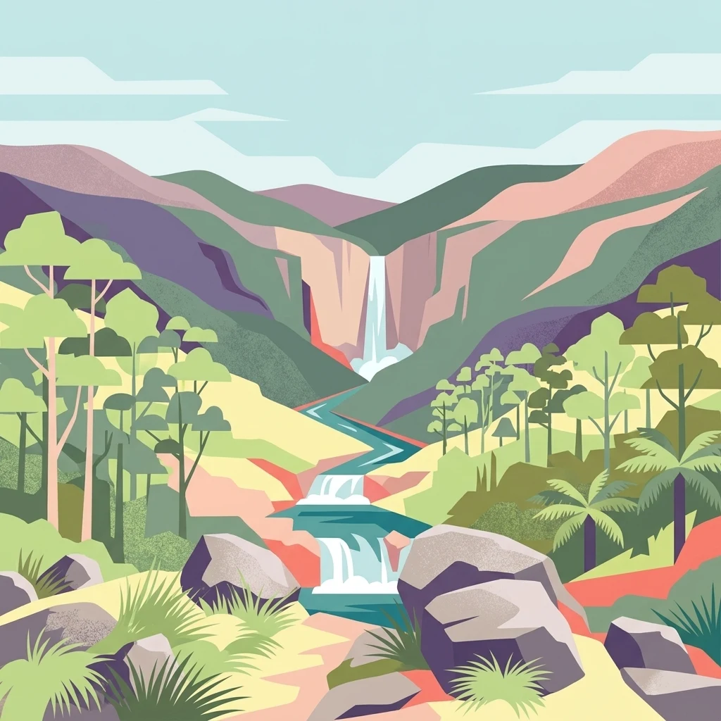
Mapping the high volcanic plateau, wild river systems, and steep ridges of the Mount Royal Range
Named Natural Features and Geographic Landmarks in Barrington Tops National Park
Mapped hydrological features and basin geography
Rivers
Examine the network of rivers and seasonal watercourses associated with the rugged terrain of Barrington Tops National Park. This structured collection provides map-based insights into how these features interact with the high plateau and surrounding valleys of the Great Dividing Range in Australia.
High-altitude topographic landmarks and mountain summits
Peaks
An atlas of named peaks found throughout the mountainous landscape of Barrington Tops National Park. This record identifies key summits and high points, offering a clearer understanding of the terrain variations and granite ridgelines within this protected Australian wilderness.
Spatial analysis of ancient ridge and plateau geography
Mountain ranges
This geographic collection tracks mountain range features associated with Barrington Tops National Park. Use these records to analyze the structural connection between plateau environments, volcanic ridgelines, and the broader Great Dividing Range system.
Managed water systems in the Mount Royal Range
Reservoirs
Investigate identified reservoir installations found within or adjacent to the mountainous terrain of Barrington Tops National Park. Each record focuses on the engineered nature of these water control structures, their physical relationship to the surrounding river valleys, and their role within the broader geographic context of the Mount Royal Range.
Continue Exploring Barrington Tops National Park's Protected Geography
Venture deeper into the mapped landscape of Barrington Tops National Park to understand its complex ecosystems and geographic significance. Discover the unique features of this protected area, from its ancient rainforests to its dramatic mountainous terrain. This detailed exploration provides essential context for understanding protected lands and their role within regional geography.