
Mori Atlas logo
Park guides

Structured insights on seasonal timing and natural exploration in Mexico's dramatic canyon landscapes.

Comprehensive Guide Collection for Basaseachic Falls National Park in the Sierra Madre Occidental

Access a focused selection of guides covering Basaseachic Falls National Park, a protected region in the Sierra Madre Occidental defined by 1,640-meter cliffs and deep river canyons. Each resource provides context on visiting the landscape, balancing local climate patterns with the hydrological cycles that sustain one of Mexico's tallest waterfalls.

Related tags

WaterfallCanyonPine-Oak ForestMountain LandscapeProtected Area

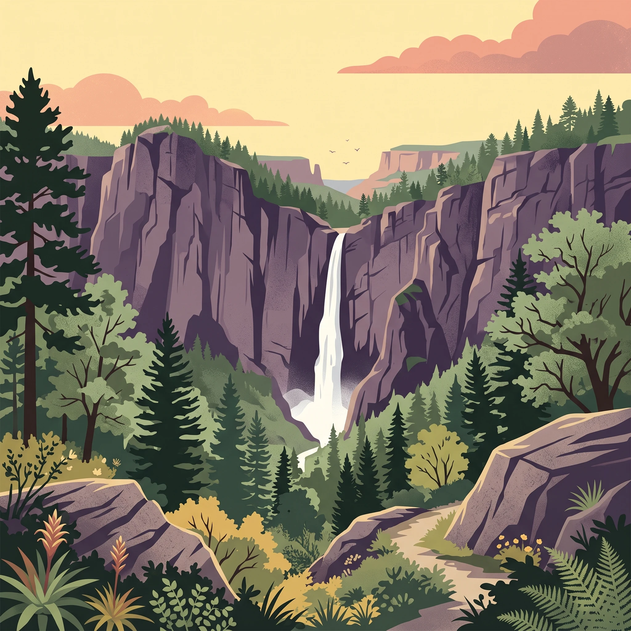
Mexico's second-tallest waterfall plunging into a dramatic canyon within the Sierra Madre Occidental

Basaseachic Falls National Park

Basaseachic Falls National Park occupies a remarkable position in the Sierra Madre Occidental, protecting a landscape of exceptional geological and ecological significance. The park's defining feature, Basaseachic Falls, cascades 246 meters into Candameña Canyon, creating one of Mexico's most iconic natural spectacles. The canyon itself, carved over millions of years by the Basaseachic River, reaches depths that rank among the greatest in the Sierra Tarahumara region. The terrain exhibits dramatic vertical relief, with cliff walls rising to 1,640 meters above the canyon floor, a testament to the powerful tectonic forces that shaped this landscape through deep fractures and rising rifts. The park's ecological character is defined by its pine-oak forests, which vary with elevation and benefit from the numerous microclimates created by the complex topography. This ecological diversity supports both significant plant and animal life, making the park an important conservation area within northern Mexico's mountain systems.

Location
Mexico
Park type
National park
Established
1981
Area
58 km²
Basaseachic Falls National Park Geography
1 guide

Compare focused park themes to match specific planning questions

Published Guides and Regional Resources for Basaseachic Falls National Park

Published collections provide targeted reference materials for exploring the unique geography and seasonal patterns of Basaseachic Falls National Park. Detailed thematic entries help evaluate specific visitor questions regarding optimal travel windows, weather conditions, and terrain access.
MoriAtlas Explorer

Continue exploring the geographic identity of Basaseachic Falls National Park

Deepen your understanding of Basaseachic Falls National Park by examining its mapped protected boundaries and its role within the broader regional geography of Ocampo Municipality. This dedicated park atlas entry provides the factual geographic context needed for comprehensive discovery of Mexico's protected landscapes. Continue your exploration to fully grasp the park's unique terrain and its significance as a natural area.