
Why Bessunger Kiesgrube stands out
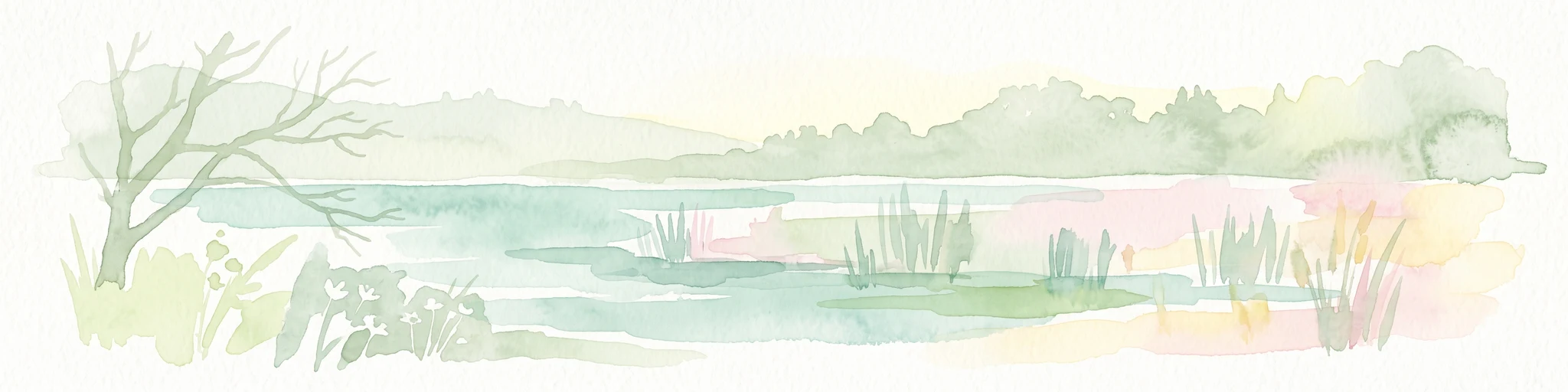
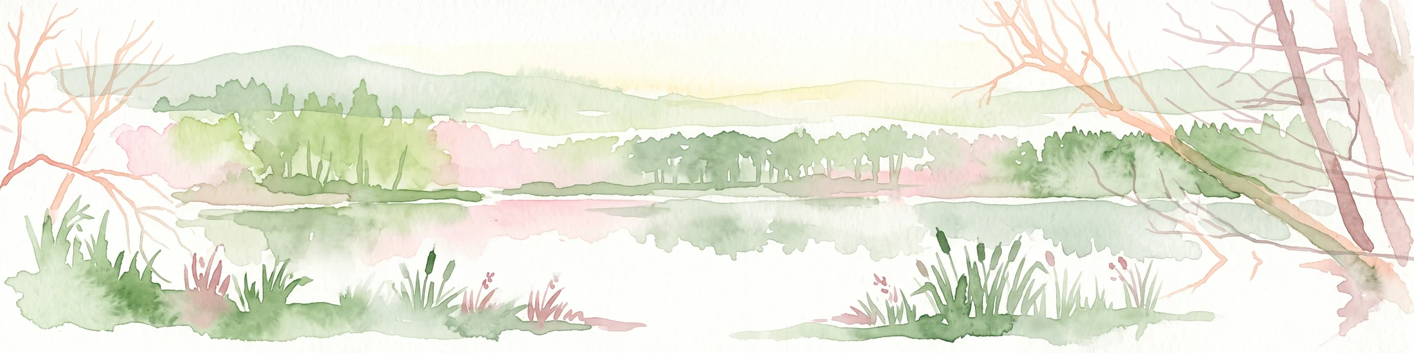
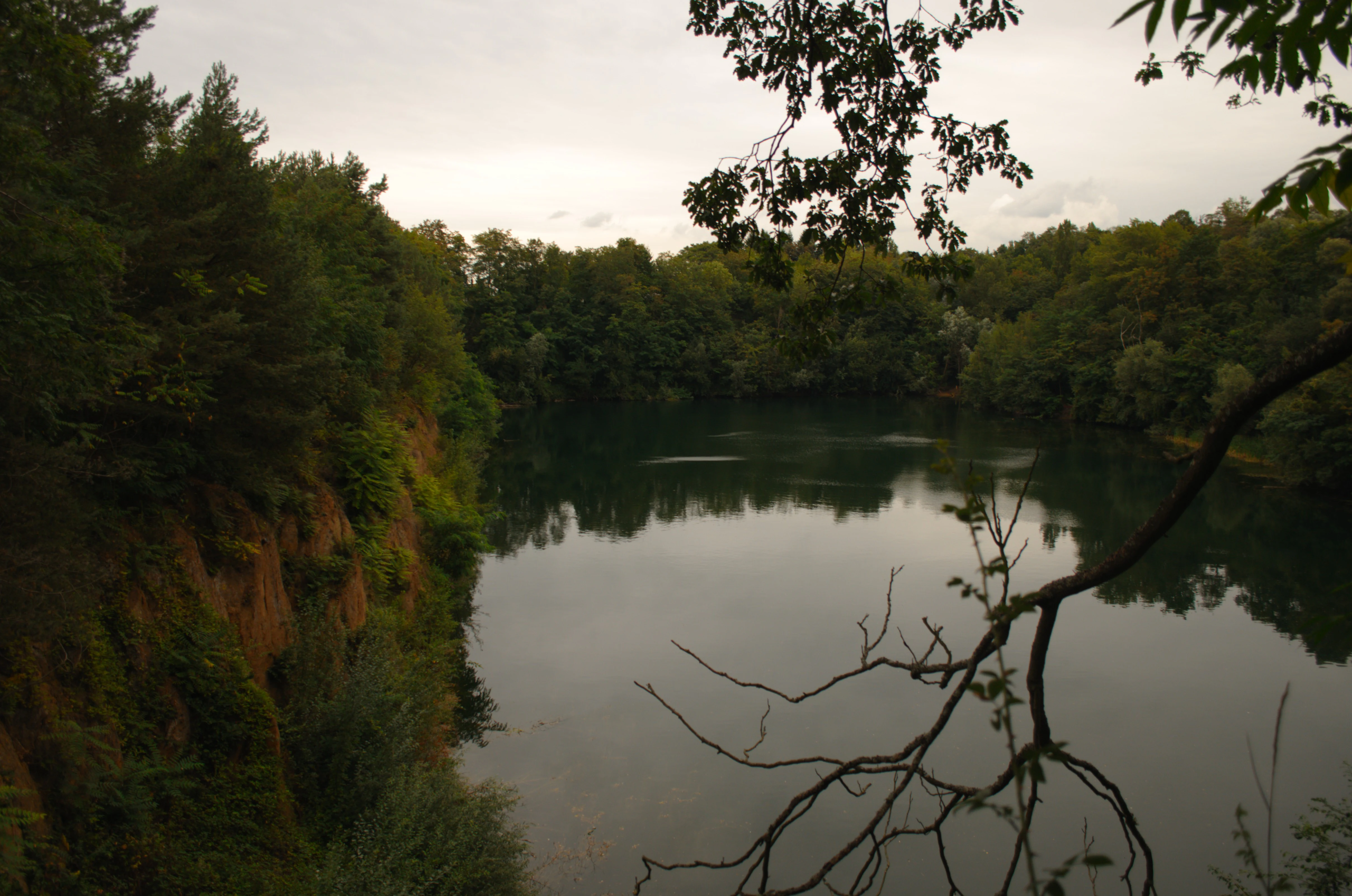
The site is best known as a classic example of a post-industrial Baggersee, a lake that has emerged from former gravel extraction, that has been allowed to revert naturally to dense, near-primeval woodland. Its steep, rocky shoreline and the rapid regrowth of forest on former quarry ground make it a small but characteristic landscape within the Darmstadt area. It is also known locally as an early and longstanding case of urban-edge nature conservation, where centuries of sand and gravel digging were eventually redirected into formal habitat protection rather than full reclamation or redevelopment.
Bessunger Kiesgrube history and protected-area timeline
The history of the Bessunger Kiesgrube stretches back more than three centuries. The first written reference to the so-called "Bessunger Kies" dates to 1701, when local gravel deposits were already recognized as a resource.
Gravel extraction reached a peak during the eighteenth century, driven by ambitious building projects carried out under the local court. New pits were opened during this period, including the southern Bessungen pit that still exists today as the modern lake, and another smaller pit near Nieder-Ramstädter Straße that has since been filled in. Several small gravel workings also operated on the nearby Steinberg, some of which survived into the twentieth century. In the late nineteenth century, the Darmstädter Verschönerungsverein, a local beautification society, struggled to protect the scenic outcrop known as the Kraftsruhe from being quarried away altogether.
The surviving southern pit passed after the First World War into the ownership of the Mitteldorf company, which continued to extract what it marketed as "1a golden-yellow Bessungen gravel" at the site until 1978. After the cessation of gravel extraction, the pit filled with water and gradually became the lake seen today. In 1997, the surrounding landscape was formally designated as the Naturschutzgebiet Bessunger Kiesgrube, shifting its status from working quarry to protected nature reserve. Since 2023, the reserve has been fenced and is no longer open to public access.
Bessunger Kiesgrube landscape and geographic character
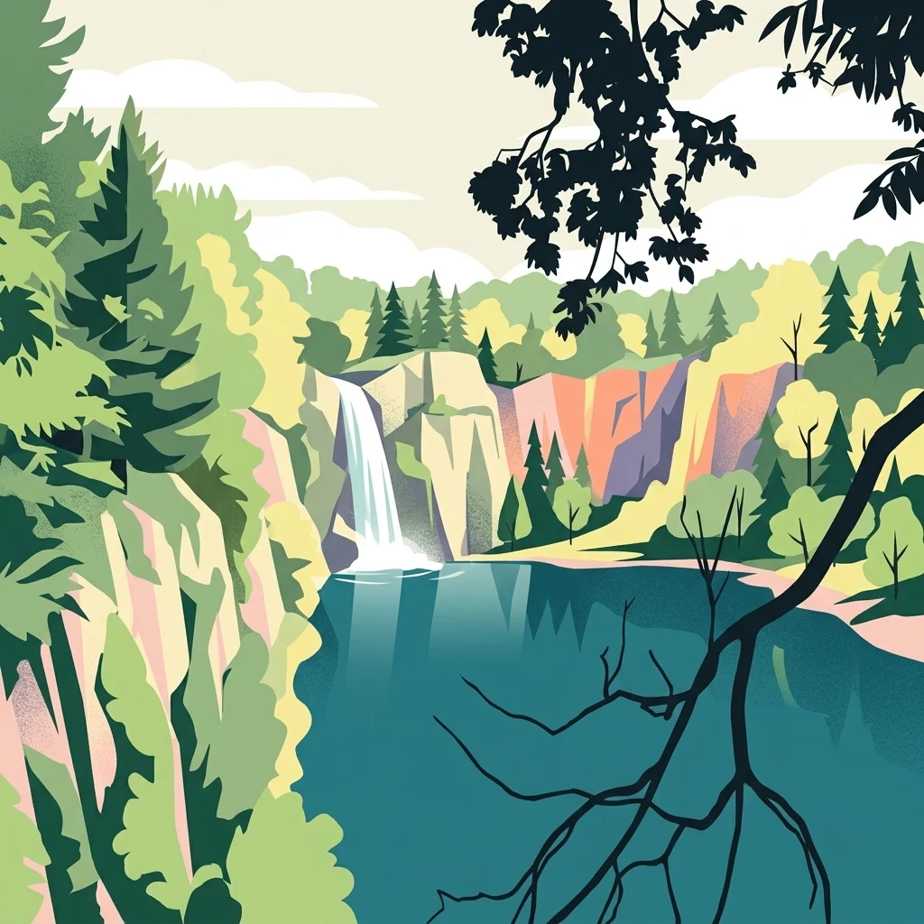
The physical landscape of the Bessunger Kiesgrube is a small but sharply defined pocket of water and woodland at the foot of a low range of hills. The lake itself lies in a bowl-shaped former excavation, with banks that rise steeply and show exposed rocky faces and weathered gravel slopes, the geological signature of its industrial past.
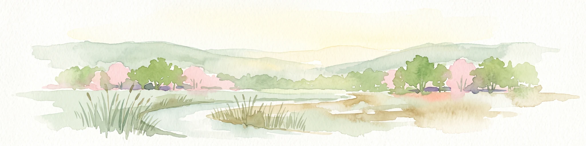
To the east of the main lake lies a smaller companion waterbody, while to the west and south the terrain climbs gently toward the northwestern edge of the Odenwald. The setting is part of the broader Bergstraße natural area, where the lowlands of the northern Upper Rhine Plain begin to rise toward the forested uplands. The combination of abrupt, man-made shoreline profiles and the surrounding forest cover gives the site a distinctive character that contrasts with the more gradual, rural terrain elsewhere in the area.
Because gravel extraction ended relatively recently and the land has been deliberately left to recover, the present landscape reads as a transitional one: exposed mineral banks and standing water on one hand, and a fast-closing ring of trees on the other, all packed into a small reserve on the fringe of a large city.
Bessunger Kiesgrube ecosystems, habitats, and plant life
Ecologically, the Bessunger Kiesgrube represents an interesting case of natural regeneration on former industrial land. Over the last several decades, the disused quarry ground around the lake has developed a dense, almost primeval-looking cover of woodland, with closely spaced trees and a shaded understory typical of sites that have been left undisturbed.
The reserve as a whole covers around twelve hectares and encloses both the main lake and the smaller pond to its east. Within this area, the combination of steep, felsy banks, quiet standing water, and surrounding forest produces a small but structurally varied habitat mosaic. The lake margins in particular offer transitional zones between aquatic, rocky, and wooded environments, supporting a range of species adapted to disturbance-tolerant and early-successional conditions.
Although specific flora and fauna inventories are not detailed in available sources, the broader pattern is clear: a former quarry site that has, through protection rather than active management, succeeded in developing into a recognizable secondary natural habitat within an otherwise heavily settled region.
Bessunger Kiesgrube conservation status and protection priorities
Conservation significance at the Bessunger Kiesgrube centers on the protection of a recovering post-industrial landscape. The site was formally designated as the Naturschutzgebiet Bessunger Kiesgrube in 1997 under German nature-protection law, with a registered CDDA identifier linking it to the European database of designated areas. The reserve covers approximately twelve hectares.
What makes the site valuable from a conservation perspective is precisely the process that produced it. Rather than restoring the exhausted quarry to agriculture or urban use, authorities allowed natural regeneration to proceed, and the resulting landscape of lake, rocky banks, and dense secondary woodland has been given formal protection. The site is therefore a small but instructive example of how post-extractive land can be integrated into long-term habitat conservation strategies around German cities.
Since 2023, the reserve has been fenced and closed to public access, a measure that reflects an emphasis on protecting sensitive regrowing woodland and shoreline habitat from disturbance during this early-successional phase.
Bessunger Kiesgrube cultural meaning and human context
The cultural context of the Bessunger Kiesgrube is closely tied to the building history of Darmstadt and the historic management of the surrounding landscape. The first documented mention of "Bessunger Kies," from 1701, places the deposits within a long-running tradition of local mineral extraction serving the needs of expanding settlements and princely courts.
The eighteenth-century peak of gravel extraction coincided with major construction projects under the local rulers, leaving an imprint that is still visible today in the shape of the surviving pit. Local preservation movements also played a role. In the late nineteenth century, the Darmstädter Verschönerungsverein campaigned against further quarrying that threatened well-known scenic features such as the Kraftsruhe, an early example of organized public interest in protecting local landmarks.
In the twentieth century, the active quarry passed to the Mitteldorf firm, whose branding of "golden-yellow Bessungen gravel" tied the site to the regional building economy well into the postwar decades. The eventual transition from active quarry to protected nature reserve marks the closing chapter of that industrial-cultural story.
Top sights and standout views in Bessunger Kiesgrube
The Bessunger Kiesgrube stands out for its transformation from a centuries-old gravel quarry into a protected natural area within the Darmstadt landscape, and for the unusually dense, near-primeval woodland that has developed around its steep, rocky banks. It is also notable as a small but clearly designated example of post-industrial conservation, where a former extractive site has been allowed to regenerate naturally under formal protection rather than being reclaimed for other uses.
Best time to visit Bessunger Kiesgrube
Because the nature reserve has been fenced and closed to public access since 2023, the site is not currently available for casual visits. Historically, when access was permitted, the area would have been most attractive in late spring and summer, when the regenerated woodland is in full leaf and the contrast between open water, rocky banks, and dense forest cover is at its most pronounced. Cooler seasons would offer quieter conditions and clearer views across the lake surface through the bare branches of the surrounding trees. Any seasonal guidance should be treated as general landscape characterization rather than current visitor information.