Why Black Jungle Conservation Reserve stands out
Black Jungle is best known for its spring-fed monsoon rainforest patches within an otherwise open tropical savanna landscape. These rainforest refugia are maintained by permanent creeks and springs and support a distinctive combination of wildlife found across the Adelaide River floodplain. The reserve is particularly recognised for its waterbird importance, holding what has been recorded as the highest density breeding ground for the magpie goose in the world. It is also a breeding area for saltwater crocodiles and is notable for the extremely high predator-prey biomass recorded between water pythons and dusky rats. Together, these traits have placed the reserve on the Register of the National Estate alongside neighbouring floodplain wetlands.
Black Jungle Conservation Reserve history and protected-area timeline
The land that makes up the Black Jungle Conservation Reserve has a layered history shaped by Aboriginal stewardship, pastoral ambitions, and modern conservation planning. For thousands of years before European arrival, the area was managed by Aboriginal owners using fire to shape a landscape of tropical savanna, monsoon rainforest pockets, and melaleuca swamps.
The name "Black Jungle" appeared on plans of the Umpity Doo Homestead block, Agricultural Lease No 28, in 1910. The land was part of the expansive Koolpinyah Station, one of the largest and most significant cattle properties in the early Northern Territory, granted by Government Resident Charles Edward Herbert to his sons in 1907. The Herbert brothers established their homestead at a waterhole known to local Aboriginal people as "Gulpinyah" and ran a mixed operation of buffalo, goats, tropical fruit, and cattle. The station covered a vast area between Howard Springs to the west and the Adelaide River to the east, and the Herbert family developed working relationships with Aboriginal elders who camped on the property and shared in seasonal food supplies.
During the 1930s, botanist F.A.K. Bleeser collected many palm specimens in what was still being called "The Jungle." After World War II, in which the surrounding landscape saw military activity whose traces remain in the reserve, broader agricultural development of the rural Darwin area accelerated. A 1983 Darwin Rural Area Plan and subsequent investigations of land suitable for horticulture set the stage for a major reshuffle of land use.
In 1990, the Northern Territory Government investigated groundwater-accessible lands at Lambells Lagoon and Berry Springs for horticulture. As a result, Lambells Lagoon and Acacia Hills lots were exchanged for Malacca Swamp and Black Jungle, which were excised from Koolpinyah pastoral station and declared conservation reserves. This exchange occurred before the Native Title Act 1993 came into operation in January 1994, after which joint management between the Northern Territory Government and Aboriginal traditional owners became the framework for protecting the area.
Black Jungle Conservation Reserve landscape and geographic character
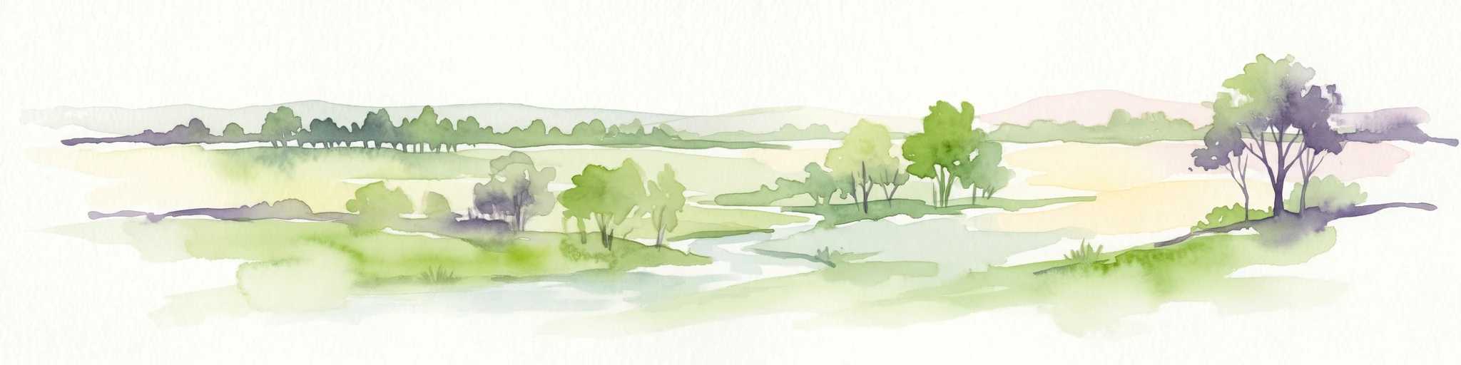
The landscape of Black Jungle Conservation Reserve is defined by the contrast between expansive open woodland and the dense, spring-fed vegetation that hugs permanent water sources. The wider matrix is open tropical savanna woodland, dominated in the overstorey by eucalypt species such as Eucalyptus miniata and Eucalyptus tetrodonata, with understoreys of grass and sedge communities spread across flat or gently undulating country.
Cutting through this savanna are corridors of melaleuca swamp and sedgeland that respond dramatically to the wet season. Permanent creeks and natural springs support small but ecologically vital patches of monsoon rainforest, where evergreen trees and palms can reach canopy heights of around 30 metres and shelter dense understoreys of ferns and smaller plants. These rainforest pockets are visually distinct from surrounding woodland and form some of the most intact examples of their kind on the Adelaide River floodplain.
The reserve is traversed by a major, permanently tidal river, and the broader floodplain is a mix of tidal and seasonal freshwater wetlands. Flooding during the December to March wet season transforms large parts of the reserve into shallow floodwaters, before water levels recede across the long dry season. The resulting pattern of inundated flats, swamp margins, riparian creek lines, and isolated rainforest refugia gives the area a varied, mosaic-like landscape that is rare within the largely pastoral Adelaide River region.
Black Jungle Conservation Reserve ecosystems, habitats, and plant life
Ecologically, Black Jungle Conservation Reserve is an unusually rich patchwork for a single protected area, combining tropical savanna, monsoon rainforest, melaleuca swamp, riverine environments, and seasonally inundated floodplain grasslands. The reserve is a core component of the Adelaide River Coastal Floodplain system, which is recognised as internationally significant because of the diversity of wetland types it brings together within a relatively compact area.
The spring-fed rainforest patches are particularly distinctive. Their permanent moisture allows them to act as dry-season refuges for waterbirds and other fauna while the surrounding savanna is at its driest. These refugia also support rare plant species that are found nowhere else on the Australian mainland, including the Darwin palm and a vulnerable epiphytic orchid.
The area's vegetation structure has been broadly classified as open woodland savanna with pockets of wet monsoon rainforest and melaleuca swamp, plus grass and sedge communities. Canopy-height variation, the presence of permanent freshwater springs, and the seasonal cycle of wet and dry conditions together create a habitat mosaic that supports an unusually high concentration of breeding birds, reptiles, and small mammals.
Black Jungle Conservation Reserve wildlife and species highlights
Wildlife is one of the reserve's defining features. The wetland habitats support large waterbird populations, and the area around Black Jungle swamp has been recorded as having the highest density breeding ground for magpie geese in the world. Other waterbirds, including brolgas, use the reserve as a wet-season stronghold when the surrounding floodplain becomes productive feeding habitat.
The reserve is also an important breeding area for the estuarine, or saltwater, crocodile, which depends on the mix of tidal river, freshwater floodplain, and sheltered banks found across the property. The water python and dusky rat are present in numbers that have produced the highest recorded predator-prey biomass of any comparable system globally, a statistic that underscores how productive the floodplain food web is during the wet season.
Among rarer fauna, the Koolpinyah threadtail dragonfly has been recorded at Black Jungle, Koolpinyah Station, and Melville Island, and is considered rare to scarce across its range. Four conservation-dependent species, including two listed on the IUCN Red List, are documented within the reserve.
Black Jungle Conservation Reserve conservation status and protection priorities
Black Jungle Conservation Reserve sits within a network of protected wetlands that together protect about a quarter of the Adelaide River floodplain, the remainder being largely pastoral leasehold or horticultural land. The reserve has been listed on the Register of the National Estate for its natural values, including the Black Jungle Palm Site and the Black Jungle Orchid Site, recognising both its broader wetland character and its rare plant occurrences.
Conservation management of the reserve has been in place since 1986 under the Northern Territory Parks and Wildlife Commission, with formal joint management arrangements involving Aboriginal traditional owners following amendments to the Territory Parks and Wildlife Conservation Act in 2005. Public access is restricted to permit holders, primarily for scientific research and authorised crocodile egg harvesting, which limits recreational pressure on the wetlands.
The reserve's conservation value is heightened by surrounding land uses. Groundwater extraction for horticulture on the margins of the floodplain can affect the springs and rainforest patches around Black Jungle Swamp, and the broader history of the Adelaide River floodplain has been driven less by landscape aesthetics than by the need to protect aquifers. Illegal entry by hunters and recreational vehicle users has occasionally caused damage to fences and gates, and feral animal impacts, including pig grazing on palm seedlings, are recognised as ongoing pressures on rare plant populations.
Black Jungle Conservation Reserve cultural meaning and human context
The reserve is deeply connected to Aboriginal cultural heritage. For thousands of years before European arrival, Aboriginal owners hunted, gathered, and actively shaped the landscape using fire, a practice often described as fire-stick farming. Sites within the broader wetland system are places of ritual, mythological, and spiritual significance to traditional owners and have long served as sources of traditional foods, medicines, and other resources.
The arrival of European pastoralism reshaped land tenure but did not erase Aboriginal connections. The Herbert family, who ran Koolpinyah Station in the early 20th century, hosted Aboriginal elders on the property and shared food and money when available. The Aboriginal name "Gulpinyah," for a waterhole where the Herbert brothers built their homestead, is the source of the broader Koolpinyah Station name and remains part of the area's living heritage.
The reserve is also one of several Top End protected areas that retain traces of World War II activity. Joint management of parks and reserves between the Northern Territory Government and traditional Aboriginal owners has been formal practice since 1981, with the relevant Indigenous Land Use Agreement covering the parcel of land within the Hundred of Hutchison that makes up the Black Jungle area.
Top sights and standout views in Black Jungle Conservation Reserve
Internationally recognised component of the Adelaide River Coastal Floodplain, one of Australia's most significant tropical wetland systems.
Contains spring-fed monsoon rainforest patches that act as dry-season refuges for waterbirds and support rare Darwin palms (Ptychosperma bleeseri) and the vulnerable Luisia tristis orchid.
Hosts what has been recorded as the highest density breeding ground for magpie geese worldwide, alongside populations of saltwater crocodiles and brolgas.
Listed on the Register of the National Estate and managed jointly by the Northern Territory Parks and Wildlife Commission and traditional Aboriginal owners under formal Indigenous Land Use Agreements.
Best time to visit Black Jungle Conservation Reserve
Because public access to the Black Jungle Conservation Reserve is restricted to permit holders, visitation is not a typical recreational activity and seasonal advice should be understood in ecological rather than operational terms. The reserve's character shifts sharply between the Northern Territory's two main seasons: a long dry season from April to November and a shorter wet season from December to March.
The wet season is when the Adelaide River floodplain comes alive, with seasonal inundation supporting the breeding of magpie geese and other waterbirds, the highest activity of saltwater crocodiles, and the most conspicuous presence of the water python and dusky rat predator-prey system. This is also the time when permanent springs most clearly anchor the rainforest patches amid expansive shallow floodwaters.
The dry season exposes the savanna woodland, contracts wetland extent to permanent pools and springs, and concentrates wildlife around the remaining water sources. For researchers, each window offers different survey conditions: lush and dynamic during the wet season, more accessible on foot but ecologically tighter during the dry. Anyone considering a permitted visit should plan around these seasonal contrasts, recognising that hot, humid conditions and high rainfall characterise the wet season while cooler, drier days define the months from May to September.