
Why Booßener Teichgebiet stands out
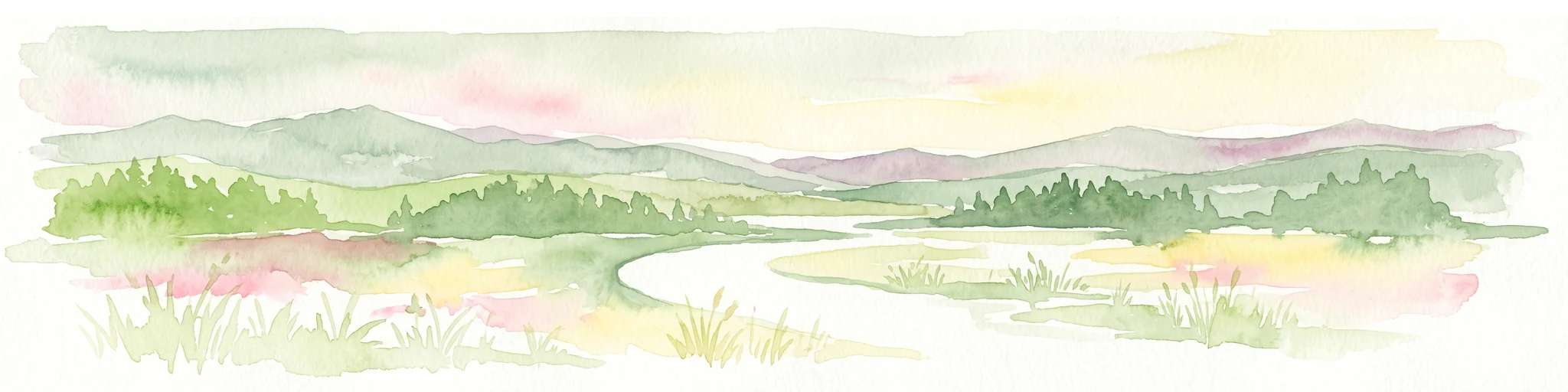
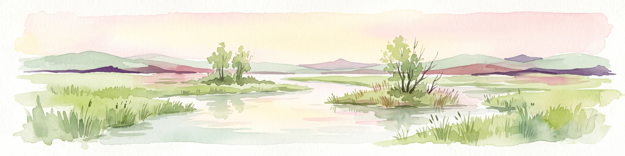
The reserve's defining character lies in its compact mosaic of contrasting habitats within a single glacial meltwater valley. Low-lying areas hold the wet environments of the Booßener Mühlenfließ and its associated Stauteiche, while the surrounding valley slopes carry dry, open biotopes shaped by warmer, sun-exposed conditions. This combination of moist valley floor, standing water, and dry slope communities within a short distance of each other is unusual in the regional landscape and gives the area its ecological value. The reserve also benefits from its position near the Oder river corridor and the Polish border, linking it to a larger network of protected habitats along the eastern German frontier.
Booßener Teichgebiet history and protected-area timeline
The Booßener Teichgebiet was first placed under formal nature protection on 21 March 2000, marking its initial recognition as a distinct conservation unit within the Brandenburg protected-area system. Seven years later, on 26 March 2008, the area was re-designated under a new statutory ordinance that continues to define its boundaries, purpose, and management framework.
This two-step establishment reflects the broader pattern of reorganizing and refining nature reserves in Brandenburg during the early twenty-first century, as older designations were updated to align with current ecological understanding and conservation law. The reserve's designation number, 1602, remains in use, and its international registration through the World Database on Protected Areas under WDPA-ID 389578 confirms its standing within global protected-area datasets.
Booßener Teichgebiet landscape and geographic character
The landscape of Booßener Teichgebiet is defined by a long, narrow meltwater valley cutting into the edge of the Lebuser Platte. The valley floor is occupied by the Booßener Mühlenfließ and a sequence of small impoundment ponds, while the sides of the valley rise into dry, sun-exposed slopes that carry open, xerothermic vegetation.
This setting reflects the glacial geomorphology of eastern Brandenburg, where former meltwater channels have left shallow valleys that are now used by small streams. The combination of flat valley bottom, gentle slopes, and the broader horizon of the Lebuser Platte and the Oder lowlands creates a contained landscape unit that contrasts with the surrounding agricultural plains. Major roads frame the reserve on three sides: the L 383 to the west, the B 112 to the east, and the B 5 to the south, while the Oder river and the Polish border lie a short distance further east.
Booßener Teichgebiet ecosystems, habitats, and plant life
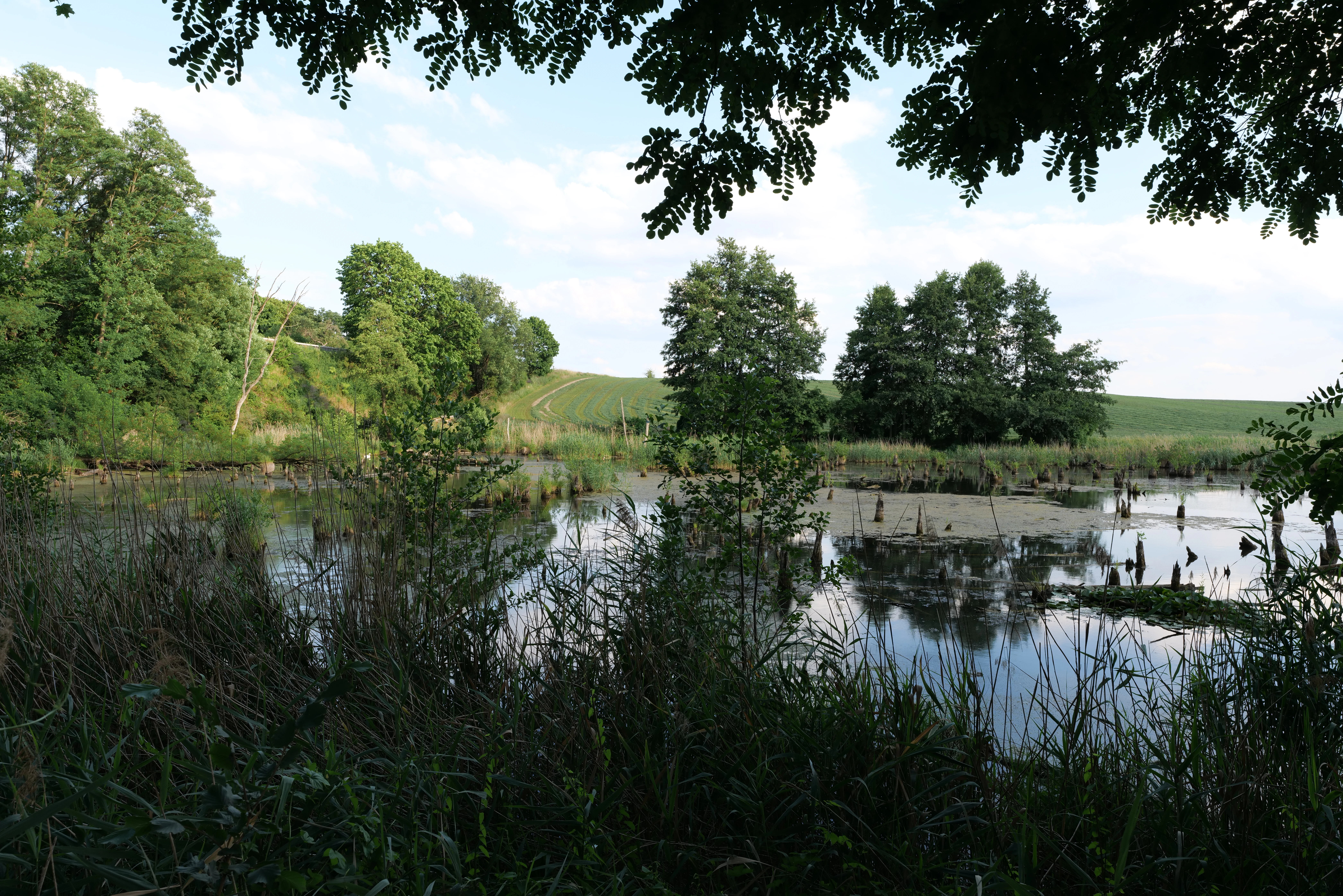
Ecologically, Booßener Teichgebiet is built around the gradient between wet valley floor and dry valley sides. The valley floor supports wetland habitats linked to the Booßener Mühlenfließ and its chain of Stauteiche, including open water, fringing marshy zones, and reed-dominated communities that benefit from the slow flow and standing water of the managed stream system.
The slopes around the valley carry drier habitats typical of the Lebuser Platte and similar Oderregion landscapes, including open grassland and other dry biotopes that depend on warm, free-draining conditions. This close interweaving of moist and dry habitats within a small area increases overall ecological complexity, allowing species associated with very different moisture regimes to occur side by side. The reserve's IUCN Category IV classification reflects this role: it is managed specifically to conserve particular habitats and the species that depend on them.
Booßener Teichgebiet wildlife and species highlights
Because of its mosaic of ponds, marshy ground, reedbeds, and dry slopes, Booßener Teichgebiet supports a mix of wetland and dry-habitat wildlife within a very compact area. The chain of impoundment ponds and the reed-lined stretches of the Booßener Mühlenfließ provide habitat for typical lowland wetland fauna, while the drier slopes offer conditions for species associated with warm, open, xerothermic environments.
The reserve's position near the Oder river adds further importance, linking it ecologically with the broader corridor of riverine and floodplain habitats along the German-Polish border. While the available public description of the area does not enumerate specific species in detail, the combination of standing water, marshland, and dry grassland is characteristic of protected areas in this part of Brandenburg, where reserves serve as refuges for regionally notable wetland birds, amphibians, dragonflies, and invertebrates, as well as for the more warmth-loving flora and insect communities of the valley slopes.
Booßener Teichgebiet conservation status and protection priorities
Booßener Teichgebiet is valued primarily as a habitat-focused conservation area. Its IUCN Category IV designation signals that the reserve exists to maintain and manage specific habitat types and the species that depend on them, rather than to preserve a large untouched wilderness.
The combination of a valley stream, impoundment ponds, wetland fringes, and dry slopes within a single protected unit gives the reserve a particularly high habitat-to-area ratio. By safeguarding both the wet and dry elements of the meltwater valley together, the area contributes to the conservation of a distinctive landscape type characteristic of the Lebuser Platte and reinforces the network of protected areas along the lower Oder river, including the nearby Pontische Hänge von Lebus and the Mittlere Oder reserve further along the river.
Booßener Teichgebiet cultural meaning and human context
The reserve lies in a region shaped by long-standing human interaction with the landscape, including the historical management of the small Booßener Mühlenfließ stream and its associated ponds. The name Mühlenfließ, meaning 'mill brook,' indicates the stream's traditional role in powering mills, and the chain of Stauteiche reflects centuries of impounding water for this purpose.
Today, the area sits within a transitional landscape between the historical town of Lebus, the village of Wulkow, the district of Booßen in Frankfurt (Oder), and the wider agricultural plains of the Oderbruch. While the nature reserve itself is managed primarily for ecological reasons, its existence is tied to a cultural pattern of valley-stream management that has shaped the local landscape for generations.
Top sights and standout views in Booßener Teichgebiet
Booßener Teichgebiet stands out for fitting an unusually rich habitat mosaic into a small footprint of about 104 hectares. A managed brook and a chain of mill-pond style impoundments anchor the valley floor, while the surrounding slopes carry the warm, open dry habitats typical of the Lebuser Platte.
Its protected status, established in 2000 and re-designated in 2008, and its position near the Oder river and the Polish border give it additional importance as part of the broader network of conservation areas along eastern Brandenburg's river corridor.
Best time to visit Booßener Teichgebiet
Because Booßener Teichgebiet is a small lowland nature reserve in eastern Brandenburg, the character of a visit changes with the seasons in ways typical of central European wetland and valley landscapes. Late spring and early summer are generally the most rewarding periods for seeing active pond and reedbed wildlife, including breeding waterbirds, amphibians, and dragonflies, while also highlighting the contrast between the lush wet valley floor and the warmer, drier slopes.
In summer, the dry slopes are most visible as open, sun-exposed areas with characteristic xerothermic vegetation. Autumn brings changes in pond levels and migratory activity, while winter can offer quieter conditions and clearer views of the valley structure, provided paths are accessible. Specific access arrangements and current conditions should always be checked locally.