
Mori Atlas logo
Nature reserveBovet

Discover the geographic terrain of heathland, glacial boulders, and salt marsh habitats

Bovet Nature Reserve: A Protected Coastal Landscape on the Danish Island of Læsø

Bovet Nature Reserve serves as a significant protected coastal corridor along the southern shore of eastern Læsø in Denmark. The area encompasses 65 hectares of open, undeveloped terrain where narrow strips of dry heathland transition into salt-tolerant beach meadows and reedbeds. Dominated by a wide panoramic vista across Bovet Bugt, the reserve features scattered glacial boulders and a view toward the eastern headland of Bløden Hale. As part of a larger Natura 2000 and Ramsar wetland site, this reserve provides a vital habitat for various waterfowl and waders within the shallow, sheltered waters of the Kattegat.

coastal meadowbeach meadowheathlandRamsar wetlandNatura 2000bird sanctuary
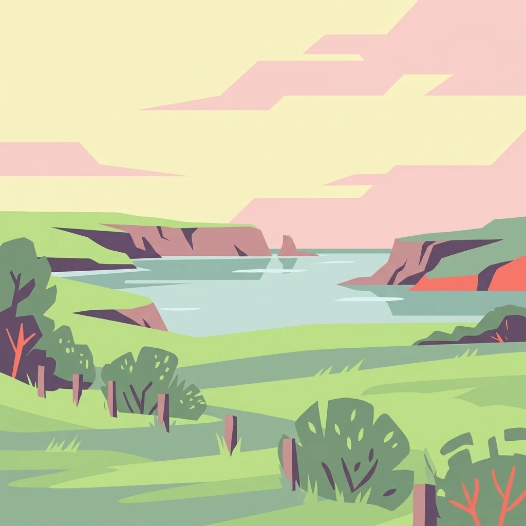
A minimalist, flat vector-style illustration of a coastal landscape. Green grassy fields with a fence run in the foreground, leading to a calm bay bordered by rocky cliffs in the distance under a pastel sky.

Bovet

Nature reserve

Park overview

Structured park overview, official facts, and landscape profile for Bovet

Bovet park facts, protected area profile, and essential visitor context

Review the core facts for Bovet, including designation, size, terrain, visitor scale, habitats, and operating context in one park-focused overview.

About Bovet

Bovet occupies a slim but ecologically significant band of land along the bottom of Bovet Bugt, on the southern shore of the eastern part of Læsø island. The protected area runs for about 2.5 km between the main island road and the shoreline, deliberately kept open and free of buildings so that the view across the bay can be preserved. The conservation order from 1964 explicitly cites the panoramic view as the reason for protection, and this intent still defines the site's character today.

The immediate setting combines three zones: a higher inland strip of heather vegetation, a transitional zone of dry strand overdrift (beach grassland), and a wetter beach-meadow edge with reedbeds. The terrain is mostly flat to gently undulating, shaped by coastal processes and bordered by the shallow, calm waters of Bovet Bugt. Glacial boulders strewn through the bay are a striking visual reminder of the area's ice-age origins and contribute to the sense of an untouched natural shoreline.

Beyond its scenic qualities, Bovet functions as an important ecological unit. It lies within Natura 2000 area no. 9, which covers the coastal meadows of Læsø and the sea to the south, and forms the outer boundary of the broader Bovet-Knotten nature and wildlife reserve. The site carries both bird protection and Ramsar designations, recognizing its value for waterbirds and coastal wetland habitat.

Quick facts and research context for Bovet

Bovet is a 65-hectare Danish nature conservation area on the southern coast of eastern Læsø, protecting approximately 2.5 km of open beach meadow and heathland fronting Bovet Bugt. The site was established in 1964 to safeguard an unusually broad panoramic view over the bay and its ice-age boulder-strewn shallows. It is part of Natura 2000 site no. 9, designated for the coastal meadows of Læsø and surrounding sea, and carries both bird protection and Ramsar wetland status. The area defines the boundary of the larger Bovet-Knotten nature and wildlife reserve managed by the Danish Nature Agency.

Protection and recognition

Examine the official protection framework and terrestrial designation data for Bovet.

Bovet Protection Status and Documented Conservation Scope

Bovet features a documented terrestrial protection scope without imported international recognition sources or transboundary status. Review the registered designation framework to understand the formal conservation boundaries established for this protected area.

Protection details

Protection scope
Terrestrial
Transboundary protection
No
Park context

Deeper park guide and search-rich context for Bovet

Bovet history, landscape, wildlife, and travel context

Explore Bovet through its history, landscape character, ecosystems, wildlife, conservation priorities, cultural context, and seasonal travel timing in a structured park guide built for atlas discovery and search intent.

Why Bovet stands out

Bovet is best known for its continuous, undeveloped coastal panorama along Bovet Bugt, where a narrow belt of heath and salt-tolerant beach meadow opens toward a wide, boulder-strewn bay. The combination of open heath vegetation, strandeng habitat, scattered glacial erratics, and a long sea view makes it one of Læsø's most characteristic coastal landscapes. It is also recognized for its importance as a bird habitat, supporting breeding and resting waders, ducks, and geese in a protected marine-adjacent setting.
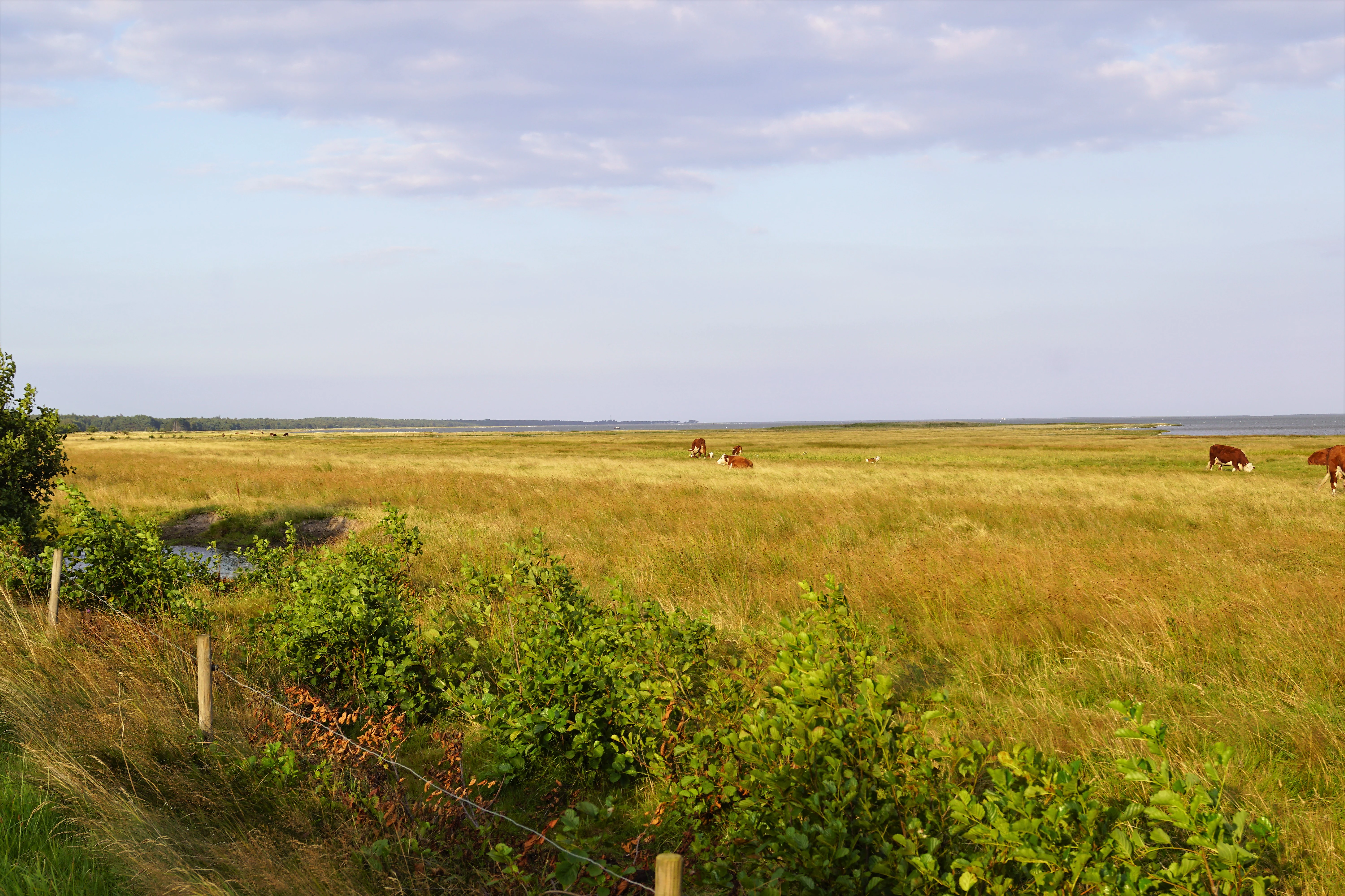
A wide, flat grassy salt marsh in Denmark with several brown and white cows grazing in the distance, near a bay.
Open salt marsh landscape at Bovet Bay on Læsø island.

Bovet history and protected-area timeline

Bovet was formally designated as a Danish naturfredning (nature conservation area) in 1964. The conservation order was motivated specifically by the desire to protect an unusually open and panoramic coastal landscape along Bovet Bugt, rather than by a single rare species or habitat type. The intention was to keep the narrow coastal strip between the road and the sea free of construction, allowing the view across the boulder-strewn bay to remain unobstructed.

Over time the site has been integrated into broader national and international frameworks for nature protection. It became part of Natura 2000 area no. 9, covering the coastal meadows of Læsø and the sea to the south, and received bird protection area and Ramsar wetland status in recognition of its importance for waterbirds. Together with the neighboring Knotten area, it forms the Bovet-Knotten nature and wildlife reserve, managed under the auspices of the former Danish Forest and Nature Agency (Skov- og Naturstyrelsen). The management approach has remained focused on keeping the area open, including regular clearing of self-seeded birch and willow that would otherwise obscure the conserved view.

Bovet landscape and geographic character

The landscape of Bovet is defined by a narrow, flat coastal corridor facing south over Bovet Bugt. Inland, slightly higher ground supports dry heather vegetation, while the land lowers gradually toward the sea into open strandeng (beach meadows), patches of dry coastal grassland, and small areas of reedbed formed by reeds and Bolboschoenus. The shoreline itself is gently shelving into the bay.

One of the most striking features of the bay is the abundance of large boulders, remnants of glacial activity that rest on the seabed and along the shore, creating a rugged, primordial character unusual for a Danish coastal site. Looking eastward through the protected view, the long finger of Bløden Hale reaches far out into the water as Læsø's easternmost promontory, providing a focal point in the panoramic vista the reserve was created to protect. Just east of the protected area lies the small craft harbor of Sydhavnen, an access point reached via an 800-meter dredged channel.

Bovet ecosystems, habitats, and plant life

Ecologically, Bovet is a coastal mosaic combining heath, dry grassland, beach meadow, reedbed, and shallow marine habitat. On the higher, drier parts near the road, true heathland vegetation dominates, with heather (hedelyng), crowberry (revling), cross-leaved heath (mosepors), and tufted grass species (blåtop). Closer to the water, the vegetation shifts into species-rich strandeng with yellow bedstraw, centaury, sea wormwood, sea plantain, sea lyme grass, sand couch, and clustered sea lavender, interspersed with small reedbeds of common reed (tagrør) and Bolboschoenus.

A notable floristic feature is the presence of the tiny, rare fern known as adder's-tongue (slangetunge), one of the area's special botanical signatures. The mosaic is kept open by ongoing management, as birch and willow seedlings spread vigorously across Læsø and would quickly shade out the heath and beach meadow if left unchecked. The combination of dry heath, wet meadow, reedbed, and shallow bay creates an unusually compressed gradient that is comparatively rare on flat Danish island coasts.

Bovet wildlife and species highlights

Bovet's wildlife interest centers on its bird life, supported by the shallow waters and sheltered conditions of Bovet Bugt and its surrounding meadows. The area is a recognized bird locality, designated both as a bird protection area (fuglebeskyttelsesområde) and a Ramsar wetland, and is included within the larger Bovet-Knotten wildlife reserve.

Waders breeding or resting in and around the area include common redshank (rødben), oystercatcher (strandskade), pied avocet (klyde), dunlin (almindelig ryle), and bar-tailed godwit (lille kobbersneppe). Among ducks and geese, visitors and breeders may see common eider (edderfugl), goldeneye (hvinand), Eurasian wigeon (pibeand), common shelduck (gravand), and dark-bellied brent goose (mørkbuget knortegås). The safe, low-disturbance conditions, together with the mix of open water, soft sediments, and fringing vegetation, make the site attractive to waterfowl throughout much of the year.

Bovet conservation status and protection priorities

The conservation significance of Bovet rests on three reinforcing layers of protection. At the national level it is a designated naturfredning under Danish law, with its 1964 order explicitly aimed at safeguarding a wide, open coastal panorama. At the European level it falls within Natura 2000 site no. 9, dedicated to the coastal meadows of Læsø and the marine area to the south. Internationally it carries Ramsar wetland status as well as bird protection area designation, recognizing its value for migratory and breeding waterfowl.

Functionally, the area serves as the western boundary of the larger Bovet-Knotten nature and wildlife reserve, which extends the protected landscape eastward along the coast. Conservation management focuses on maintaining open conditions through the clearing of self-sown birch and willow, which would otherwise crowd out both the heath vegetation and the beach meadow and obscure the protected view. The combined protection regime, the relatively undisturbed shoreline, and the presence of rare species such as adder's-tongue fern give Bovet a conservation profile that is disproportionate to its modest size.

Bovet cultural meaning and human context

Bovet's cultural dimension is closely tied to its identity as an open coastal landscape that has been deliberately kept free of buildings, roads, and other infrastructure. The 1964 protection order reflects a specifically Danish conservation tradition of preserving not only ecological values but also strongly valued panoramic views over the sea, an approach common in coastal Danish landscape protection.

Just east of the reserve, the small craft harbor of Sydhavnen reflects a modest, continuing maritime working tradition; from there, recreational fishermen still head out into Bovet Bugt through a dredged channel. The wider context of Læsø as a small island community with limited settlement gives the open, uninterrupted horizon at Bovet additional cultural weight as a place where the sea remains visually dominant in the landscape.

Top sights and standout views in Bovet

Bovet's standout quality is the uninterrupted 2.5 km panoramic view across Bovet Bugt, framed by heath, beach meadow, glacial boulders, and the distant Bløden Hale headland. Its layered protection status, from Danish nature conservation order through Natura 2000 to Ramsar designation, is unusually strong for such a compact site. Ecologically it compresses heath, dry strand grassland, wet strandeng, reedbed, and shallow bay into a single small area, supporting rare plants such as adder's-tongue fern and a wide variety of waders and waterfowl including dark-bellied brent goose, pied avocet, and bar-tailed godwit.

Best time to visit Bovet

As an open, low-elevation coastal site, Bovet is broadly accessible through much of the year. The heath vegetation along the inland fringe is most visually expressive in late summer, when heather is in bloom, while the beach meadows and reedbeds are typically at their richest in mid to late summer as well. Bird life is a defining attraction of the site across seasons, with breeding waders and ducks active in spring and summer, and waterfowl, including geese, present in larger numbers during migration and winter periods on the shallow bay. Because the area is flat, exposed, and coastal, visits in colder months can feel raw and windblown; milder seasons make it easier to enjoy the panoramic view that motivated the site's protection.

Monthly climate preview

Track recorded monthly weather averages and baseline temperature rhythms for Bovet

Bovet Climate Normals, Long Term Temperature and Precipitation Patterns

Representative coordinate records show measured monthly temperature variations and precipitation amounts across the year for Bovet. Examining the complete twelve month climate profile reveals detailed averages for thermal ranges and moisture distribution.
Annual mean9 °C
1 °C17 °C
Jan
Feb
Mar
Apr
May11°
Jun15°
Jul17°
Aug17°
Sep14°
Oct10°
Nov
Dec
Warmest month
August

17.4 °C

Coolest month
February

1.3 °C

Wettest month
October

3.5 mm/day

Driest month
April

1.8 mm/day

Park location guide

Geography guide, regional context, and park location map for Bovet

Bovet park geography, regions, and map view in Denmark

Understand where Bovet sits in Denmark through a broader geographic reading of the surrounding landscape, nearby location context, and its mapped position within the national park landscape.

How Bovet fits into Denmark

Denmark is a constitutional monarchy and Nordic country in Northern Europe. It is the southernmost of the Scandinavian countries, bordering Germany to the south, Norway to the north, and Sweden to the southwest. The country consists of the Jutland peninsula and an archipelago of islands, with Copenhagen as its capital and largest city. Denmark has a population of over 6 million and is characterized by flat, arable land, sandy coasts, and a temperate climate.

Wider geography shaping Bovet in Denmark

Denmark occupies the Jutland peninsula and roughly 406 islands in Northern Europe. It is situated between the North Sea to the west and the Baltic Sea to the east. The country borders Germany to the south and is connected to Sweden via the Øresund Bridge. Denmark is predominantly flat terrain with low elevation, the highest point being Møllehøj at 170.86 meters.

Map view of Bovet

Use this park location map to pinpoint Bovet in Denmark, understand its exact geographic position, and read its mapped placement within the surrounding landscape more clearly.

Pigeon | © OpenStreetMap contributors

Location context for Bovet

Læsø

Explore photographic views of heathland, glacial boulders, and wide coastal panoramas.

Bovet Photos and Coastal Landscapes: Visualizing the Protected Danish Seascape

Visual documentation captures the unique topography of Bovet, featuring open beach meadows, scattered glacial erratics, and expansive shorelines along Bovet Bugt. Examining these protected habitats provides deeper insight into the ecological character and stark coastal scenery of the Danish reserve.

A wide, flat grassy salt marsh in Denmark with several brown and white cows grazing in the distance, near a bay.

A wide view of a grassy salt marsh with a cow grazing in the foreground and a bay with a distant shoreline in the background under a pale, overcast sky.

Park atlas

Compare regional coastal reserves, beach meadows, and nearby wildlife habitats

Explore Other Parks Near Bovet And Surrounding Protected Coastal Landscapes

Browsing nearby national parks and protected areas provides a broader geographic comparison for the coastal terrain around Bovet. Continuing across the regional park network reveals connected wetland habitats and similar marine-adjacent landscapes throughout the surrounding territory.
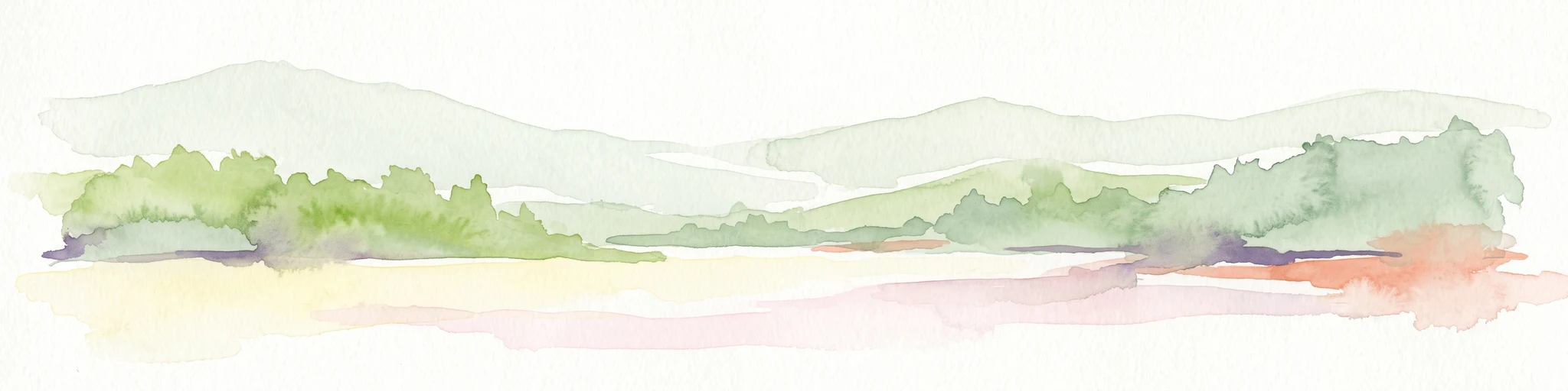
Watercolor painting showing a green and tan coastal marshland with low hills in the distance.
Nature reserveLæsø
About 6.9 km away#1 closest

East

Østdelen af Læsø Nature Reserve: Mapped Coastal Geography and Protected Danish Island Terrain

Explore active dune systems, beach ridges, and coastal heath-mire habitats

Østdelen af Læsø features a distinct interplay of coastal geology and traditional heathland vegetation across its 266 hectares. The reserve spans from the elevated Danzigmand dunes to the dynamic, growing barrier islands of Store Knot and Lille Knot, offering a comprehensive look at Denmark's shifting coastal margins and vital seabird nesting grounds.

Area
2.66 km²
Established
1963
Relief
Lowland
Climate
Temperate
Nature reserveLæsø Municipality
About 9.3 km away#2 closest

Northwest

Nordre Rønner: Protected Island Landscapes and Geographic Mapping of Læsø Municipality

Remote coastal nature reserve and marine habitat within the Danish Kattegat sea

Nordre Rønner represents a significant cluster of islets in the Kattegat, showcasing the interplay of post-glacial land rise and coastal ecology. Managed within Læsø Municipality, these eleven hectares of protected land include essential nesting grounds for terns and harbor seals. This resource outlines the physical geography, mapped island connections, and the status of this unique maritime nature reserve.

Area
0.11 km²
Relief
Lowland
Climate
Temperate
Access
Moderate access
Nature reserveRegion Nordjylland
About 33 km away#3 closest

West

Solsbæk Nature Reserve: Geographic Profile and Protected Coastal Dune Landscapes

A rare calcareous dune ecosystem in Region Nordjylland, Denmark.

Solsbæk is a designated nature reserve on the Vendsyssel coast, notable for its concentrated series of coastal dune habitats. Formed by lime-rich shell sand, the landscape sustains a diverse array of vegetation including grey and green dunes, juniper scrub, and dune heath. This compact site provides a vital reference for understanding the ecological structure and botanical variety of protected coastal lands in northern Denmark.

Area
0.33 km²
Established
1972
Relief
Lowland
Climate
Temperate
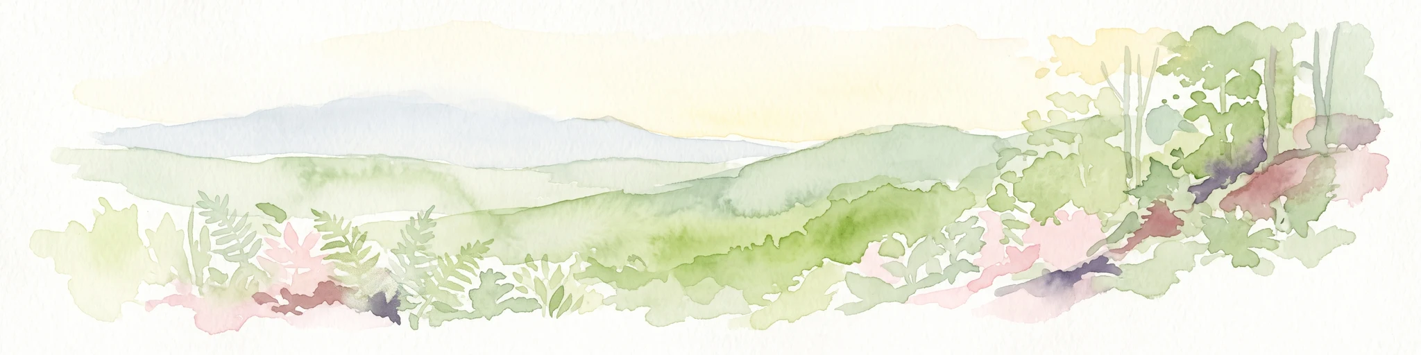
A soft watercolor painting of a low-lying coastal scene with rolling green hills and a light foreground.
Nature reserveRegion Nordjylland
About 36 km away#4 closest

Northwest

Natura 2000-område nr. 4 Hirsholmene, havet vest herfor og Ellinge Å's udløb: Mapping Protected Landscapes

A dual marine and coastal nature reserve in Region Nordjylland

Analyze the marine and coastal topography of this significant Natura 2000 site. The mapped region spans from the Kattegat bubble reefs to the freshwater influence of the Ellinge Å outlet, offering a clear perspective on the distribution of sandbanks, island groups, and terrestrial habitats that characterize this protected Danish geography.

Area
95.33 km²
Established
2011
Relief
Lowland
Climate
Temperate
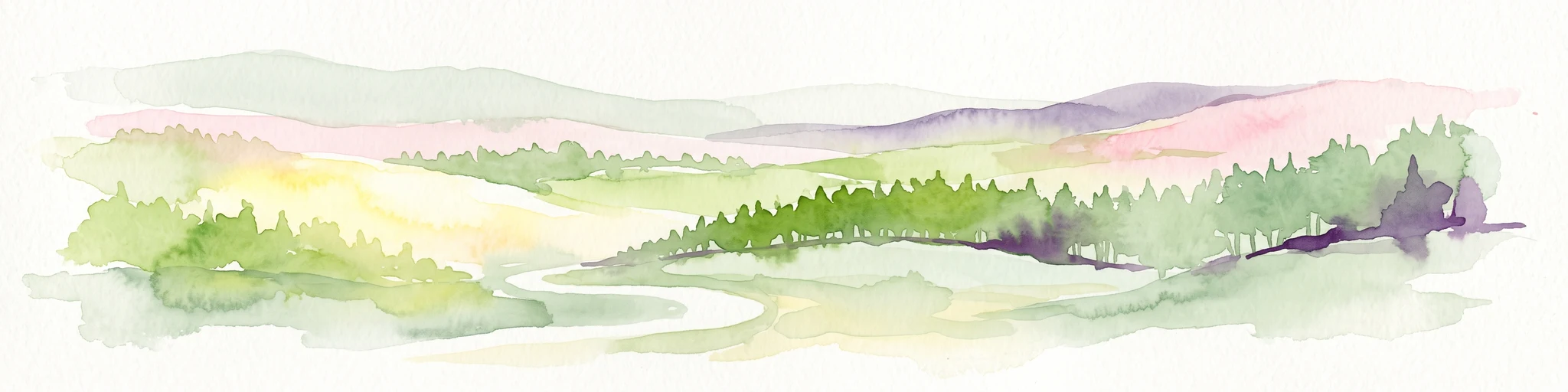
Watercolor illustration of a lush green valley with rolling hills, meadows, and trees in soft, muted tones.
Nature reserveNordjylland
About 42 km away#5 closest

West

Åsted Ådal Nature Reserve: Glacial Valley Mapping and Protected Land Context in Nordjylland

A diverse Natura 2000 habitat mosaic in Northern Denmark

Åsted Ådal serves as a premier example of Danish glacial topography, offering a deep dive into the complex environmental transitions of a moraine-carved valley. The protected site highlights a rich botanical and avian assemblage, anchored by its unique stream corridor and steep slopes, providing a comprehensive view of regional landscape character.

Area
1.24 km²
Relief
Upland
Climate
Temperate
Scope
Terrestrial
Protected areaRegion Nordjylland
About 45 km away#6 closest

Northwest

Jerup Hede, Råbjerg og Tolshave Mose: Protected Area and Ridge and Pool Terrain

Geographic landscape overview in Region Nordjylland

Jerup Hede, Råbjerg og Tolshave Mose contains the largest continuous area of ridge and pool landscapes in Denmark. The site features an undulating terrain of hummocks and wet hollows typical of intact raised bogs, transitioning from inland heaths to coastal dune formations near the Skagerrak coast. It remains an essential site for studying Northern European mire ecosystems and wetland habitat patterns.

Area
40.24 km²
Relief
Lowland
Climate
Temperate
Access
Access unknown
Protected areaDenmark
About 53 km away#7 closest

Southwest

Aalborg Bugt: Geography and Protected Area Overview in Northern Denmark

Coastal wetlands, shallow marine habitat, and fjord systems

Aalborg Bugt represents a defining seascape for northern Denmark, stretching along the Kattegat coast to include diverse coastal features like dunes, salt meadows, and rich fens. As the largest Natura 2000 site in the country, the bay supports a continuous conservation corridor that bridges marine environments with inland fjord networks, offering a deep look into the regional geography and protected-land dynamics of the Jutland peninsula.

Area
1,774 km²
Protected areaRegion Nordjylland
About 65 km away#8 closest

Northwest

Natura 2000-område nr. 5 Uggerby Klitplantage og Uggerby Å's udløb Protected Area

Coastal dune and riverine landscape mapping in Region Nordjylland

Explore the varied terrain of this 717-hectare site featuring a complete sequence of green dune habitats, fresh water slacks, and the Uggerby Å river estuary. The area displays a dense concentration of coastal geomorphology and protected plant species, providing a deep look into the natural landscape character of the northern Danish coast along the Skagerrak.

Area
7.17 km²
Relief
Lowland
Climate
Temperate
Scope
Terrestrial

Common questions about visiting, size, designation, and location context for Bovet

Bovet FAQs for park facts, access, geography, and protected area context

Find quick answers about Bovet, including protected-area facts, park geography, trail and visitor context, and how the park fits into its surrounding country and regional landscape.
MoriAtlas Explorer

Continue Your Protected Areas Search Across the Global Atlas

Deepen your exploration by continuing the structured search for national parks and protected areas worldwide. Utilize the comprehensive filtering capabilities to compare different conservation landscapes and refine your understanding of global park geography. Discover more about the distribution and characteristics of protected natural areas.

Global natural geography