
Mori Atlas logo
Park guides

Detailed insights into the volcanic geography and seasonal landscapes of the Tengger massif.

Expertly Curated Guide Collection for Bromo Tengger Semeru National Park in East Java

This guide collection provides structured information on the complex volcanic terrain of Bromo Tengger Semeru National Park. Access focused resources on the Tengger Sand Sea, the surrounding caldera formations, and regional seasonal patterns. These documents offer geographic context for the active peaks and river systems characteristic of this protected area in East Java.

Related tags

volcanic landscapesand sea ecosystemnational parkJava mountainsactive volcano

Indonesia's volcanic wonderland of sand seas and Java's highest peak

Bromo Tengger Semeru National Park

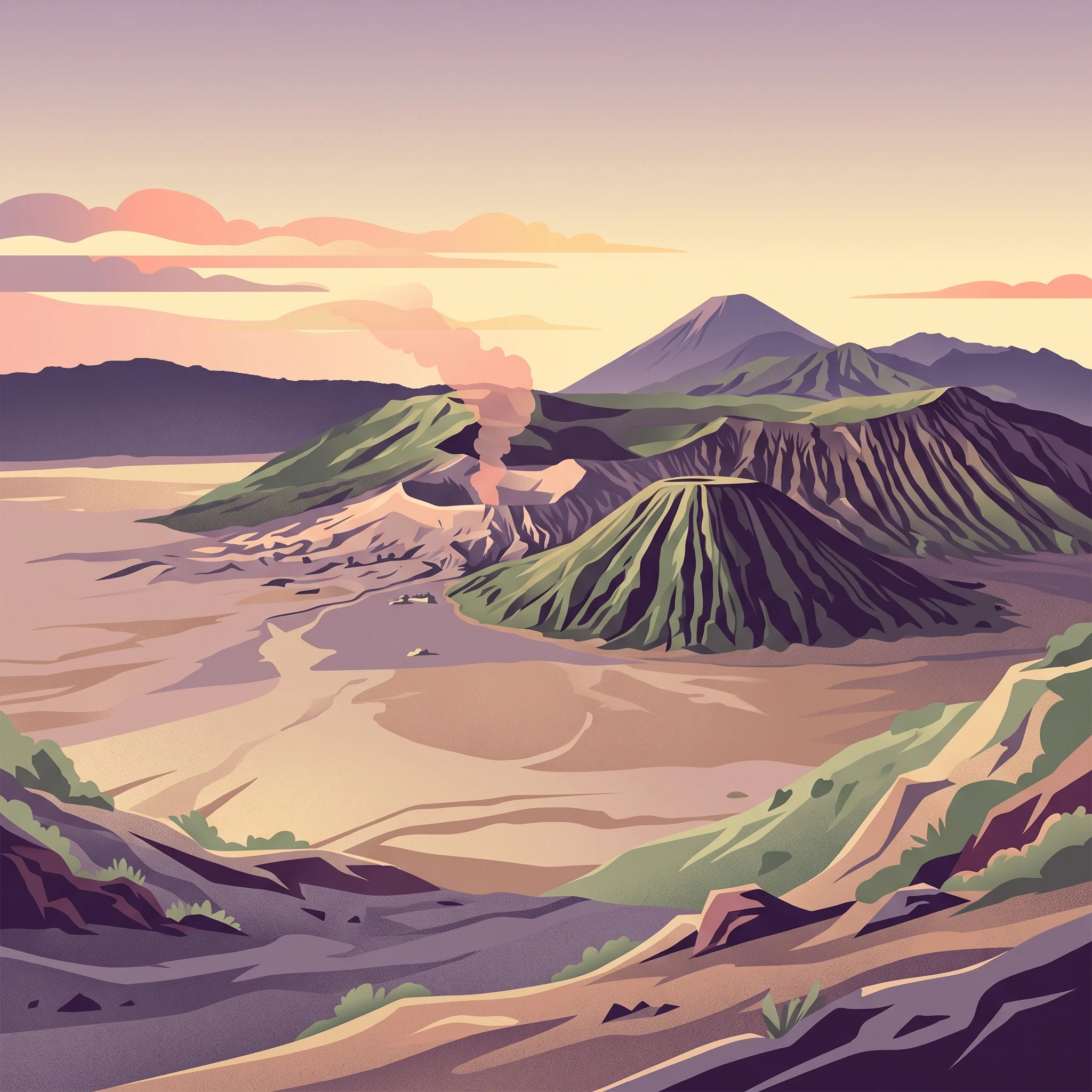
Bromo Tengger Semeru National Park represents a remarkable convergence of volcanic geology, ecological zonation, and human cultural heritage in eastern Java. The park's core feature is the Tengger Caldera, a massive volcanic crater formed approximately 45,000 years ago in an eruption comparable to the historic Krakatau event. Within this ancient caldera, a complex of five volcanoes has developed, including the perpetually active Mount Bromo, the dormant Mount Batok covered in casuarina forest, Mount Kursi, Mount Watangan, and Mount Widodaren with its sacred cave. The Tengger Sand Sea (Laut Pasir Tengger) covers the caldera floor, creating an almost surreal landscape of shifting volcanic sand dunes amid steaming vents and sulfurous crater lakes. To the south, the Semeru volcanic group contains Java's highest mountain, an active stratovolcano that regularly produces pyroclastic flows and volcanic material that nourishes the fertile lower slopes. The park's boundaries encompass not only these dramatic volcanic features but also substantial montane and sub-montane forest areas, alpine meadows, and a chain of scenic crater lakes including Ranu Kumbolo, Ranu Pani, and Ranu Regulo. The park's management balances active volcanic monitoring with conservation of unique ecosystems and sustainable tourism that supports local Tenggerese communities.

Location
Indonesia
Park type
National park
Established
1982
Area
502.8 km²
Highest point
3,676 m
Bromo Tengger Semeru National Park Protected Area
1 guide

Compare curated topic themes to match specific research questions about the terrain.

Published Guides and Regional Resources for Bromo Tengger Semeru National Park

Published resources for Bromo Tengger Semeru National Park provide focused reference material for planning visits across seasonal weather variations. Specific themes evaluate dry season stability against wetter months to help readers navigate caldera exploration questions.
MoriAtlas Explorer

Continue your exploration of Bromo Tengger Semeru National Park's protected geography

Further your understanding of Bromo Tengger Semeru National Park by examining its precise mapped boundaries and protected landscape features within East Java. This deep dive into its regional context offers valuable atlas-driven insights into Indonesia's protected areas. Discover how its terrain and geographic placement contribute to the natural landscape of the Indonesian archipelago.