Mori Atlas logo
Protected areaBruch von Heegheim

A compact sanctuary of ponds, reedbeds, and orchid meadows in the heart of Hesse

Bruch von Heegheim Protected Area: Exploring the Wetland Geography and Nidder Valley Landscape

(Naturschutzgebiet Bruch von Heegheim)

Bruch von Heegheim functions as a crucial nature reserve within the Nidder river valley, forming a complex mosaic of wetland habitats in the Wetteraukreis district. The landscape features a layered terrain of shallow water, expansive reedbeds, and species-rich grassland that provides essential refuge for diverse amphibians and marshland bird populations. This protected area stands as a significant node for regional biodiversity and represents a key site for the return of the Eurasian beaver to central Hesse.

wetlandnature reservereedbedmarshlandshallow pondsorchid meadow

Bruch von Heegheim

Protected area

Park overview

Structured park overview, official facts, and landscape profile for Bruch von Heegheim

Bruch von Heegheim park facts, protected area profile, and essential visitor context

Review the core facts for Bruch von Heegheim, including designation, size, terrain, visitor scale, habitats, and operating context in one park-focused overview.

About Bruch von Heegheim

Bruch von Heegheim is a small but ecologically focused nature reserve located in the Wetteraukreis district of central Hesse, Germany. It lies within the municipality of Altenstadt, in the cadastral area associated with the village of Heegheim, and occupies a modest footprint along the Nidder river floodplain. Although the site's compact dimensions place it among the smaller protected areas in the district, the combination of habitats it safeguards gives it an outsized role in regional wetland conservation.

The reserve is defined by a mosaic of aquatic and terrestrial features. A series of shallow water bodies forms the hydrological core of the area, complemented by a sizeable reedbed and an orchid-rich meadow that together create the structural diversity needed to support a wide range of species. The shallow ponds were originally established by local conservationists to provide foraging habitat for grey herons and white storks, and subsequent management has expanded and refined the water features to enhance their value for amphibians and marshland birds.

What sets Bruch von Heegheim apart is the breadth of ecological functions compressed into a small area. The reserve supports breeding populations of characteristic wetland birds, including marsh harrier, Savi's warbler, and Eurasian reed warbler, while also serving as foraging habitat for white stork and grey heron. Its amphibian significance is particularly notable: surveys for the tree frog species protection program in Hesse identified the site as holding the largest known population of European tree frog in the Nidder valley at the time of investigation. Insects associated with wetland habitats, including threatened dragonfly species, also rely on the reserve's well-vegetated ditches and slow-flowing watercourses.

The site is also embedded in the broader conservation landscape of the Wetteraukreis. As one of two locations where beavers returned to the district in 2007, Bruch von Heegheim marks a milestone in the species' regional recovery. Today it is managed collaboratively by forestry authorities and the local Natur- und Vogelschutzgruppe Lindheim, with ongoing habitat improvements that continue to refine its value for wildlife. Within the network of protected areas along the Nidder, it functions as a small but important refuge for the wetland biodiversity of central Hesse.

Quick facts and research context for Bruch von Heegheim

Bruch von Heegheim is a designated nature reserve situated in the Wetteraukreis district of Hesse, within the municipality of Altenstadt and the cadastral area of Heegheim. It lies in the floodplain landscape of the Nidder river valley, where the protected site combines shallow open water, reedbed, and an orchid-rich meadow.

The reserve was formally designated as a Naturschutzgebiet in 1976, and it functions today as an important breeding and resting area for marshland birds and as a key amphibian site. It is part of the broader network of protected areas in the Wetteraukreis and is managed in cooperation with local conservation groups, including the Natur- und Vogelschutzgruppe Lindheim.

Protection and recognition

Examining terrestrial conservation scope and official designation records

Bruch von Heegheim Protection Status and International Recognition Data

Bruch von Heegheim features documented terrestrial protection frameworks and structured management scope records. Conservation profiles assemble official designation history and verified recognition metrics for regional analysis.

Protection details

Protection scope
Terrestrial
Transboundary protection
No
Park context

Deeper park guide and search-rich context for Bruch von Heegheim

Bruch von Heegheim history, landscape, wildlife, and travel context

Explore Bruch von Heegheim through its history, landscape character, ecosystems, wildlife, conservation priorities, cultural context, and seasonal travel timing in a structured park guide built for atlas discovery and search intent.

Why Bruch von Heegheim stands out

Bruch von Heegheim is best known for its compact but ecologically rich wetland complex of shallow ponds, reedbed, and orchid meadow, which supports breeding marshland birds such as the marsh harrier, Savi's warbler, and Eurasian reed warbler. It is also recognized as one of the most important European tree frog sites in the Nidder valley. The reserve additionally holds significance as one of the two sites where Eurasian beavers re-established themselves in the Wetteraukreis after years of absence, marking the beginning of the species' broader return to the district. Its combination of open water, reed-dominated marsh, and species-rich grassland gives it a distinctive ecological profile for a protected area of its size.

Bruch von Heegheim history and protected-area timeline

The history of Bruch von Heegheim as a protected area began in the mid-1970s, when local conservationists from the Natur- und Vogelschutzgruppe Lindheim initiated habitat work in what was then an undeveloped stretch of the Nidder floodplain. In 1974 and 1975, they constructed a shallow water pond intended as a dedicated foraging site for grey herons and white storks, laying the foundation for the reserve's later focus on wetland wildlife.

The area was formally designated as a Naturschutzgebiet in 1976, securing its protection under Hessian nature conservation law. Following designation, the reserve's management increasingly emphasized the maintenance and enhancement of its shallow water features as well as its associated reedbed and meadow habitats.

A significant ecological milestone came in 2007, when beavers reappeared in the Wetteraukreis, with one of the first two territories established along the Nidder passing through Bruch von Heegheim. This marked the beginning of the species' recovery in the district and added a new dimension to the reserve's conservation relevance.

Habitat management has continued in the decades since designation. In 2006, a new shallow water pond was created to intercept nutrient input into the main pond and to provide additional breeding opportunities for amphibians while improving soil moisture conditions. In 2011, another shallow water feature was established within the reedbed area specifically to support characteristic reed-nesting species. Work has been carried out jointly by the Forstamt Nidda, the Natur- und Vogelschutzgruppe Lindheim, and other partner authorities.

Bruch von Heegheim landscape and geographic character

Bruch von Heegheim occupies a low-lying stretch of landscape within the Nidder river valley in the Wetteraukreis. The terrain is shaped by the gentle topography of the floodplain, where seasonal hydrological variation and historical land use have created a finely textured mosaic of open water, reed-dominated marsh, and species-rich grassland. The protected area sits at the transition between the flat alluvial landscape of the Nidder and the surrounding agricultural land of the Wetterau, and its modest relief is typical of protected lowland wetland sites in central Hesse.

The defining landscape elements are the shallow water bodies, which form the visual and ecological center of the reserve. These open-water areas are interspersed with a substantial reedbed of approximately 1.2 hectares that frames the ponds, while an orchid-rich meadow extends the habitat mosaic into the surrounding drier ground. Together these features generate the calm, water-dominated scenery characteristic of protected marshland refuges in the region, with the reeds providing a soft, dense border between the open ponds and the open countryside beyond.

Although the reserve's individual landscape features are not dramatic in scale, their arrangement creates a high level of structural diversity in a compact area. The combination of still water, dense emergent vegetation, and unimproved meadow establishes a layered landscape pattern that is particularly valuable for species requiring close juxtaposition of feeding, breeding, and shelter habitats.

Bruch von Heegheim ecosystems, habitats, and plant life

The ecological character of Bruch von Heegheim centers on its wetland habitat complex, in which shallow standing water, emergent reedbed, and species-rich meadow combine to form a richly structured mosaic. This habitat diversity is the foundation of the reserve's significance and supports a tightly connected community of plants, invertebrates, amphibians, birds, and mammals typical of lowland marshland refuges in Hesse.

Aquatic and semi-aquatic habitats dominate the ecological profile. The shallow ponds form the core breeding and foraging environment for amphibians and aquatic invertebrates, while the reedbed provides dense cover for nesting birds and shelter for marshland fauna. The surrounding orchid-rich meadow extends the habitat range into drier conditions and contributes to the botanical value of the site, particularly through the presence of orchid species characteristic of semi-natural grassland.

The reserve's hydrology is carefully managed to maintain favorable conditions for wetland species. Shallow water features have been engineered to retain enough water to support amphibians and aquatic insects while also buffering nutrient inputs and stabilizing soil moisture. The result is a habitat mosaic that maintains a balance between open water, reed vegetation, and unimproved grassland, each of which contributes distinct ecological functions to the overall protected area.

Bruch von Heegheim wildlife and species highlights

Bruch von Heegheim supports a characterful wetland fauna shaped by its combination of open water, reedbed, and species-rich meadow. The site's avifauna has historically been one of its most prominent features, with breeding populations of marsh harrier, Savi's warbler, Eurasian reed warbler, and Egyptian goose, and foraging use by white stork and grey heron. Although a former grey heron breeding colony is no longer active and the meadow pipit has disappeared as a breeding species, the reserve continues to function as an important refuge for marsh-nesting birds.

Amphibians are a particular point of ecological significance for the reserve. Surveys carried out as part of the European tree frog species protection program in Hesse identified Bruch von Heegheim as hosting the largest known population of the species within the Nidder valley at the time of investigation. The reserve's shallow ponds and wet margins provide essential breeding habitat, and additional amphibian-friendly water features have been created to reinforce this role.

Invertebrate diversity is another notable aspect of the site's fauna. The threatened helmeted azure damselfly inhabits sunny ditches and slow-flowing channels surrounded by extensively used land both within and to the south of the reserve, highlighting the importance of the surrounding land-use pattern for sensitive wetland insects.

The reserve also features prominently in the local history of mammal conservation. In 2007, one of the first two beaver territories to be re-established in the Wetteraukreis was located at the Nidder within the protected area of Bruch von Heegheim, marking the start of the species' recolonization of the district and underlining the reserve's wider faunal significance.

Bruch von Heegheim conservation status and protection priorities

Bruch von Heegheim has been a designated Naturschutzgebiet since 1976, placing it within the formal German system of statutory nature protection and securing its long-term protection under Hessian conservation law. Its conservation importance lies in the compact concentration of high-value wetland habitats in a relatively small area and the role the site plays in supporting threatened species at the regional level.

The reserve is significant for the conservation of marshland birds, including characteristic reedbed breeders such as marsh harrier, Savi's warbler, and Eurasian reed warbler. While some historical breeding populations, including a former grey heron colony and meadow pipit, have been lost, the reserve continues to support a meaningful assemblage of wetland-dependent bird species.

Its role for amphibians is especially notable. As the largest known European tree frog population in the Nidder valley at the time of survey, the site represents a key local stronghold for a species of high conservation concern in Hesse. Active habitat management, including the creation of additional shallow ponds, has been designed specifically to reinforce conditions for amphibian breeding.

The reserve also contributes to invertebrate conservation, providing habitat for threatened dragonfly species such as the helmeted azure damselfly in well-vegetated watercourses under extensive land use. Beyond species-level conservation, the site holds broader significance as one of the locations where Eurasian beavers re-established themselves in the Wetteraukreis in 2007, symbolizing the reserve's role as a foothold for returning mammal species.

Management is carried out in cooperation between the Forstamt Nidda and the Natur- und Vogelschutzgruppe Lindheim, with additional involvement from other authorities. Ongoing measures include the maintenance and refinement of shallow water bodies, reedbed care, and meadow management, all aimed at sustaining the habitat mosaic that underpins the reserve's conservation value.

Top sights and standout views in Bruch von Heegheim

Bruch von Heegheim stands out as a compact wetland reserve that combines shallow water bodies, a substantial reedbed, and an orchid-rich meadow into one of the most habitat-diverse small protected areas in the Wetteraukreis. Its breeding populations of marsh harrier, Savi's warbler, and Eurasian reed warbler, alongside its importance for white stork and grey heron, give it a strong profile as a refuge for marshland birds.

Equally distinctive is the reserve's significance for amphibians, with the site identified as holding the largest European tree frog population in the Nidder valley. The reserve's role in the recolonization of the Wetteraukreis by beavers from 2007 onward further underlines its ecological weight in the region.

Best time to visit Bruch von Heegheim

Bruch von Heegheim is a quiet wetland reserve whose character shifts with the seasons in ways typical of lowland marshland sites in central Hesse. Spring and early summer are generally the most rewarding periods for observing breeding birds in the reedbed, including marsh harrier, Savi's warbler, and Eurasian reed warbler, while warmer months bring active amphibian presence around the shallow ponds and the flight season for dragonflies such as the helmeted azure damselfly.

Late summer and early autumn can offer quieter conditions and a change in the vegetation's appearance as the reeds mature, while winter visits may highlight the reserve's open water features and any remaining waterbird activity. As with most small wetland nature reserves, weather and water levels strongly influence conditions on the ground in any given season.


Monthly climate preview

Track representative monthly temperature and precipitation patterns across the year

Bruch von Heegheim Climate Normals and Long-Term Temperature Rhythms

Bruch von Heegheim exhibits a measured annual temperature and precipitation rhythm spanning long-term averages from representative coordinate data. Examining the complete monthly climate profile reveals detailed temperature bounds and precipitation trends across all twelve periods.
Annual mean9 °C
-1 °C19 °C
Jan-1°
Feb
Mar
Apr
May13°
Jun16°
Jul19°
Aug19°
Sep14°
Oct
Nov
Dec
Warmest month
July

18.8 °C

Coolest month
January

-0.6 °C

Wettest month
July

2.5 mm/day

Driest month
April

1.6 mm/day

Park location guide

Geography guide, regional context, and park location map for Bruch von Heegheim

Bruch von Heegheim park geography, regions, and map view in Germany

Understand where Bruch von Heegheim sits in Germany through a broader geographic reading of the surrounding landscape, nearby location context, and its mapped position within the national park landscape.

How Bruch von Heegheim fits into Germany

Germany is a federal republic in Western and Central Europe with a population of over 83 million across sixteen constituent states. It is Europe's largest economy by nominal GDP and a major global exporter and importer. The capital is Berlin, and the country borders Denmark, Poland, Czech Republic, Austria, Switzerland, France, Luxembourg, Belgium, and the Netherlands.

Wider geography shaping Bruch von Heegheim in Germany

Germany is located in Western and Central Europe, spanning 357,022 km². It borders Denmark to the north, Poland and the Czech Republic to the east, Austria and Switzerland to the south, and France, Luxembourg, Belgium, and the Netherlands to the west. The country has coastlines on the Baltic Sea and North Sea to the north, with the Alps located in the southern region.

Map view of Bruch von Heegheim

Use this park location map to pinpoint Bruch von Heegheim in Germany, understand its exact geographic position, and read its mapped placement within the surrounding landscape more clearly.

Pigeon | © OpenStreetMap contributors
Park atlas

Compare regional wetlands, lowland river valleys, and nearby protected landscapes in Hesse

Explore Protected Areas and Parks Near Bruch von Heegheim

Browsing nearby protected areas allows visitors to compare the distinctive wetland mosaic of Bruch von Heegheim with other lowland reserves across the Wetteraukreis. Expanding the geographic scope reveals connected wildlife corridors and regional habitat patterns throughout the Nidder valley.
Nature reserveHesse
About 2.6 km away#1 closest

South

Im Rußland und in der Kuhweide bei Lindheim: Nature Reserve and Floodplain Geography

Protected grassland landscapes in the Wetterau, Hesse.

Located in the Wetteraukreis district of Hesse, this nature reserve protects extensive floodplain meadows along the Nidder river. The area is defined by its open grassland mosaic, providing critical refuge for meadowbirds and diverse amphibian populations. Access detailed map data and landscape context for this significant German conservation site.

Area
2.495 km²
Established
1984
Relief
Lowland
Climate
Temperate
A watercolor painting of a green, rolling meadow landscape with distant hills under a soft, light sky.
Nature reserveWetteraukreis
About 3.9 km away#2 closest

Northeast

Nidderauen von Stockheim Nature Reserve: A Detailed Geographic and Protected Landscape Map

Wetland floodplain geography in the Wetteraukreis region

This protected nature reserve spans 51 hectares of the Nidder river valley, forming a critical segment of the Auenverbund Wetterau. The landscape is defined by its mosaic of wet meadows, ponds, and tall herb vegetation, maintained by targeted conservation management and river restoration. Access the map-driven context of this European FFH site to understand its role in regional wetland preservation and habitat connectivity.

Area
0.512 km²
Established
1981
Relief
Lowland
Climate
Temperate
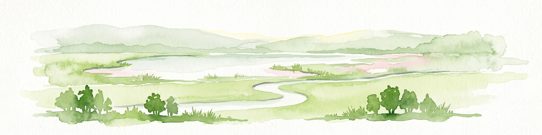
A horizontal watercolor illustration showing a meandering stream flowing through open green grasslands with scattered trees and low hills in the background.
Nature reserveHessen
About 6.1 km away#3 closest

Northwest

Nachtweid von Dauernheim Nature Reserve: Geographic Overview and Wetland Conservation

Saline meadows and floodplain habitats in Hessen

Nachtweid von Dauernheim is a specialized nature reserve in the Wetterau district, defined by its rare saline-influenced grassland flora and extensive sedge marshes. As a core rail bird biotope, the site anchors a wider wetland network alongside the Nidda river floodplain. This protected area offers a deep look into central Germany's unique hydrologic conditions and sensitive open-terrain conservation.

Area
0.789 km²
Established
1978
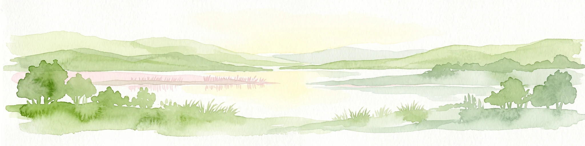
A horizontal watercolor painting showing a wetland landscape with gentle rolling hills, marshy vegetation, and scattered trees under a light sky.
Nature reserveHesse
About 10 km away#4 closest

Northwest

Bingenheimer Ried Nature Reserve: Mapped Floodplain Geography in Hesse

A critical lowland mire and wetland conservation network

Located in the Horloff valley, Bingenheimer Ried represents an essential protected landscape characterized by seasonal flooding and shallow mire habitats. This nature reserve supports significant bird populations and diverse aquatic life, functioning as a primary reference point for floodplain management and conservation geography within the state of Hesse.

Area
0.85 km²
Established
1985
Watercolor painting of a green landscape with rolling hills, small clusters of trees, and soft pinkish tones in the background.
Nature reserveHesse
About 11 km away#5 closest

Southwest

Krebsbachtal bei Kaichen: Protected Stream Valley Geography and Landscape Map in Hesse

Nature reserve featuring diverse meadow and forest habitat mosaics

Spanning 34 hectares in the Main-Kinzig-Kreis, the Krebsbachtal bei Kaichen reserve protects a unique concentration of riparian stream life, dry grasslands, and traditional orchard meadows. This valley landscape, framed by the Hainwald forest, provides a protected corridor that remains a significant representative of the historic natural terrain found in central Hesse.

Area
0.34 km²
Established
1988
Relief
Lowland
Climate
Temperate
Nature reserveHessen
About 15 km away#6 closest

South

Kinzigaue von Langenselbold: Nature Reserve and Protected Floodplain in Hessen

Riparian ecosystems, alluvial forests, and wetland geography

Spanning 129 hectares, Kinzigaue von Langenselbold represents a well-preserved riverine corridor in central Germany. The reserve integrates the meandering Kinzig river, mature gallery forests, and the Ruhlsee into a compact, protected landscape that serves as an essential habitat for diverse bird species and rare floodplain vegetation.

Area
1.287 km²
Established
1980
IUCN
IV
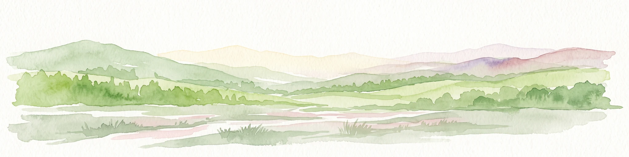
A wide watercolor painting showing a green river valley with marshy foreground, a line of trees, and rolling hills in purple and green in the background.
Nature reserveWetteraukreis
About 18 km away#7 closest

Northwest

Salzwiesen von Wisselsheim Nature Reserve: Atlas and Regional Geography of Wetteraukreis

Protected inland salt meadows and floodplain geography in Hesse, Germany.

Salzwiesen von Wisselsheim stands as a significant protected area in the Wetteraukreis region, distinguished by rare inland salt meadows fed by natural saline springs. This reserve presents a compelling landscape defined by the River Wetter, offering deep insights into how unique hydrogeology and historical salt production have formed a specialized lowland habitat that is largely absent from other inland regions.

Area
0.23 km²
Established
1982
Relief
Lowland
Climate
Temperate
A watercolor painting showing a soft, peaceful landscape with green rolling hills, a small body of water in the foreground, and faint, distant mountains under a pale sky.
Nature reserveHesse
About 20 km away#8 closest

Northwest

Kiesgrube Laukertsberg bei Nieder-Mörlen Protected Area in Hesse, Germany

A reclaimed post-industrial nature reserve and habitat

Located in the Wetterau district of Hesse, Kiesgrube Laukertsberg bei Nieder-Mörlen represents a significant shift from industrial gravel extraction to protected ecological sanctuary. The terrain features open-ground habitats and seasonal wetlands that support sensitive species, illustrating how landscape management can prioritize biodiversity. Analyze the site boundaries and its role within the broader regional geography of central Germany.

Area
0.157 km²
Established
2019
IUCN
IV
Relief
Lowland

Common questions about visiting, size, designation, and location context for Bruch von Heegheim

Bruch von Heegheim FAQs for park facts, access, geography, and protected area context

Find quick answers about Bruch von Heegheim, including protected-area facts, park geography, trail and visitor context, and how the park fits into its surrounding country and regional landscape.
MoriAtlas Explorer

Continue Your Protected Areas Search Across the Global Atlas

Deepen your exploration by continuing the structured search for national parks and protected areas worldwide. Utilize the comprehensive filtering capabilities to compare different conservation landscapes and refine your understanding of global park geography. Discover more about the distribution and characteristics of protected natural areas.

Global natural geography