
Mori Atlas logo
Nature reserveBuchheide

A study of lime-rich soils and waterlogged forest habitats within the Uckermark district

Buchheide Nature Reserve: Examining the Glacial Moraine Landscapes of Brandenburg, Germany

(Naturschutzgebiet Buchheide)

Buchheide stands as a significant nature reserve in the Uckermark district of Brandenburg, defined by its specialized calcareous ground moraine and varied micro-topography. This protected landscape encompasses a mosaic of forested woodlands and moist hollows framed by the waters of the Lübbesee, Krempsee, and Polsensee. By integrating ecological protection with forest-based natural burial practices, the reserve serves as a prime example of managed lowland conservation terrain in northeastern Germany.

nature reserveground morainecalcareous soilwetlandmixed forestbiosphere reserve
A flat-style digital illustration showing a view through tall tree trunks towards a distant canyon with a small waterfall flowing into a winding stream.

Buchheide

Nature reserve

Park overview

Structured park overview, official facts, and landscape profile for Buchheide

Buchheide park facts, protected area profile, and essential visitor context

Review the core facts for Buchheide, including designation, size, terrain, visitor scale, habitats, and operating context in one park-focused overview.

About Buchheide

Buchheide is a comparatively compact but ecologically specialized nature reserve in the northeastern German state of Brandenburg. Its identity is rooted in the post-glacial landscape of the Uckermark, where retreating ice sheets left behind a base-rich ground moraine that has since been partially modified by waterlogging. The result is a mosaic of dry, calcareous woodland edges and moist depressions, supporting habitat conditions that have become rare across much of central Europe.

Situated directly south of Templin, the reserve functions as a close-to-town protected landscape that residents and visitors can reach on foot or via regional roads. The Lübbesee frames its northeastern and eastern edge, while the southern boundary is defined by the Krempsee and Polsensee lakes, giving the site a clearly recognizable natural outline despite its modest size. With about 566 hectares of protected area, Buchheide is large enough to maintain functional ecological processes yet small enough to allow focused habitat management.

The reserve has been formally protected since 1990 and is administered as one element of the larger Schorfheide-Chorin Biosphere Reserve, which links it to broader landscape-scale conservation objectives in the region. Management priorities focus on preserving the species and habitat assemblages tied to the calcareous moraine and on maintaining the hydrological conditions that shape the area. The designation of the Waldfriedhof Templiner Buchheide within the reserve, opened in 2008, adds a cultural layer that has not undermined its ecological purpose but instead adapted a small portion of the forest for a non-extractive human use consistent with its protected character.

Quick facts and research context for Buchheide

Buchheide is a designated nature reserve in Brandenburg, Germany, identified by the code 1050 and classified under IUCN Category IV (Habitat/Species Management Area). It is roughly 566 hectares in size and lies within the Schorfheide-Chorin Biosphere Reserve, placing it in a broader network of protected landscapes in northeastern Germany.

Its position south of Templin, bounded by the Lübbesee to the east and by Krempsee and Polsensee to the south, anchors it in the lake-rich glacial terrain of the Uckermark. The reserve was formally established by legal decree on 1 October 1990 and continues to be managed for habitat and species protection rather than for high-intensity public recreation.

Protection and recognition

Documented conservation designations and administrative frameworks for Buchheide

Buchheide Protection Status and International Recognition Records

Conservation records compile official protected area designations, international recognition frameworks, and management tracking sources for Buchheide. Verified database entries link regional administrative data and Natura 2000 listings to establish structured conservation facts.

International recognition

Protection details

WDPA ID
162616
Park context

Deeper park guide and search-rich context for Buchheide

Buchheide history, landscape, wildlife, and travel context

Explore Buchheide through its history, landscape character, ecosystems, wildlife, conservation priorities, cultural context, and seasonal travel timing in a structured park guide built for atlas discovery and search intent.

Why Buchheide stands out

Buchheide is best known for its calcareous, partially waterlogged ground moraine landscape, which produces the unusual combination of lime-rich soils and wet habitats that the reserve was created to protect. This ecological setting, rather than dramatic scenery, is the defining feature of the area. The reserve is also notable for the Waldfriedhof Templiner Buchheide, a nature-oriented forest cemetery inaugurated in 2008 in the northern section adjoining Templin. With around 582 designated burial trees across roughly 8 hectares, it represents one of the more distinctive cultural integrations of a protected forest landscape in Brandenburg.
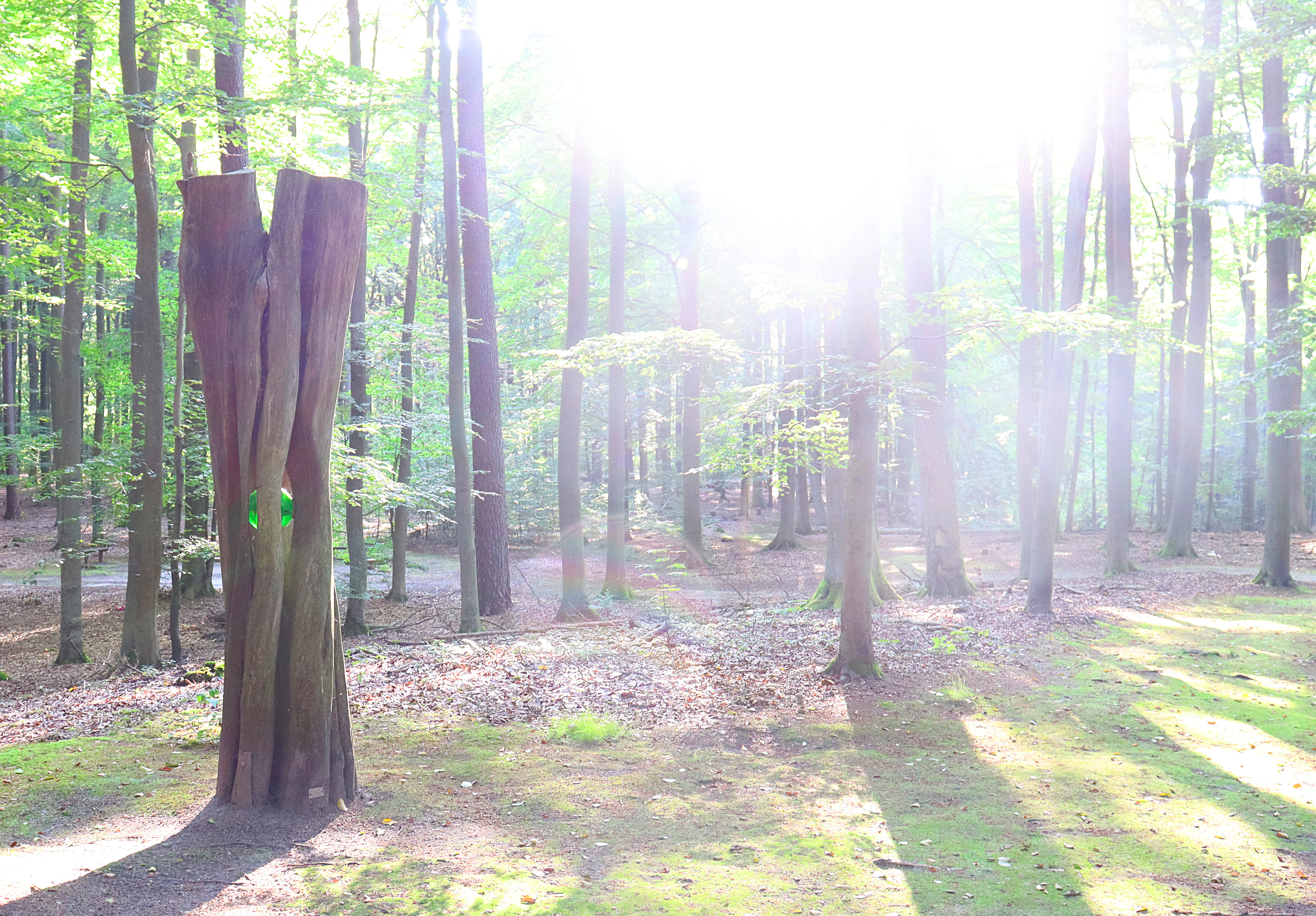
A sunlit, deciduous forest scene with a prominent, vertically split wooden sculpture in the foreground.
Sunlight filters through the trees of the Buchheide forest cemetery.

Buchheide history and protected-area timeline

The legal foundation of Buchheide dates to 1 October 1990, when the area was placed under nature protection by regulation as part of the broader designation of the Schorfheide-Chorin Biosphere Reserve. The accompanying decree defines the site's purpose as the conservation of habitats for threatened animal and plant species within a partially waterlogged, calcareous ground moraine landscape.

Following German reunification, the early 1990s brought a wave of formal nature reserve designations across Brandenburg, and Buchheide was established during this period. Its inclusion in the biosphere reserve framework tied its management to long-term regional conservation objectives rather than purely local protection.

In 2008, the northern section adjoining Templin was repurposed to host the Waldfriedhof Templiner Buchheide, an eight-hectare forest cemetery run by the town of Templin. The cemetery allows burials at 582 designated trees and explicitly prohibits conventional grave maintenance, ensuring that burials reinforce rather than disrupt the natural woodland setting. This integration of a civic function within a strictly protected area is one of the more notable recent developments in the reserve's history.

Buchheide landscape and geographic character

The landscape of Buchheide is shaped almost entirely by its glacial inheritance. The terrain consists of a ground moraine whose calcareous deposits give it a base-rich character unusual among the more typically acidic post-glacial substrates of northern Brandenburg. Combined with partial waterlogging, this has produced a varied micro-topography of slightly elevated dry sections interspersed with damp hollows.

Lakes play a key role in defining the reserve's borders. To the northeast and east lies the Lübbesee, while the Krempsee and Polsensee close off the southern edge, giving the protected area a natural frame of standing water. The forest cover dominates the central and northern parts of the landscape, with the woodland opening up gradually toward the lakeshore transitions in the south.

Human infrastructure intersects the area modestly. The B 109 federal road runs along the western margin, and the L 216 between Templin and Vietmannsdorf bisects the reserve from north to south, paralleled further east by the road linking Templin and Dargersdorf. Despite these corridors, the interior of Buchheide retains a continuous forested, water-influenced character that defines its visual identity.

Buchheide ecosystems, habitats, and plant life

Buchheide's ecological character is defined by the convergence of calcareous substrate and partial waterlogging. The lime-rich ground moraine supports plant communities that would not thrive on the more acidic soils that dominate much of surrounding Brandenburg, while the wet depressions create conditions for moisture-dependent flora and fauna.

This combination of dry calcareous woodland margins and moist open areas produces the habitat heterogeneity that the reserve was established to safeguard. The mixture supports threatened plant species typical of base-rich soils alongside wetland-associated vegetation, making the site ecologically richer than its relatively modest size might suggest.

As part of the Schorfheide-Chorin Biosphere Reserve, Buchheide is embedded in a broader network of connected protected habitats, allowing species to move between analogous sites across the region. This connectivity enhances the long-term ecological value of the reserve beyond its own boundaries.

Buchheide wildlife and species highlights

The reserve was established specifically to protect threatened animal and plant species whose survival depends on the rare combination of calcareous soils and waterlogged terrain. The structural diversity of the landscape, with alternating dry woodland patches and wet depressions, provides niches for both forest-dwelling and wetland-associated fauna.

Wet conditions in parts of the moraine support amphibian and invertebrate communities adapted to seasonal flooding, while the dry, base-rich woodland sections host insects and associated species that depend on the specialized flora growing on calcareous soils. The mix of habitats increases the likelihood that bird species tied to either forest interior or wet-edge environments can find suitable conditions within the reserve.

Rather than being defined by a single charismatic species, Buchheide's wildlife significance lies in its assemblage of less conspicuous but ecologically specialized taxa reliant on the continued integrity of the calcareous, partially wet moraine landscape.

Buchheide conservation status and protection priorities

Buchheide's conservation importance rests on its position as one of the protected sites within the Schorfheide-Chorin Biosphere Reserve, a regionally significant landscape-scale conservation framework in northeastern Brandenburg. The site's inclusion in this biosphere reserve connects it to broader ecological objectives while giving it a clear individual protection mandate.

The 1990 protection decree explicitly identifies the preservation of habitats for threatened species in a partly waterlogged, calcareous ground moraine landscape as the site's purpose. This framing means that conservation management is oriented toward maintaining or restoring the specific combination of hydrological and edaphic conditions that make the site ecologically distinctive.

Management in practice emphasizes habitat preservation over public use. The reserve allows only low-intensity, non-extractive activities compatible with its ecological aims. Even the integration of the forest cemetery in 2008 was structured around strict limits: burials must use biodegradable urns at designated trees, and conventional grave maintenance is prohibited, ensuring that the cultural use does not erode the conservation value of the woodland.

Buchheide cultural meaning and human context

The most visible cultural dimension of Buchheide is the Waldfriedhof Templiner Buchheide, established in 2008 in the northern part of the reserve adjacent to Templin. Operated by the town, this 8-hectare forest cemetery allows burials at 582 designated trees and is explicitly designed to blend into the surrounding woodland.

The cemetery's rules reflect a deliberate cultural choice: biodegradable urns are required, and conventional grave care is not permitted, so that the natural appearance of the forest remains undisturbed. This model reflects a broader shift in German attitudes toward natural burial in protected or semi-natural settings, and Buchheide offers a notable example of how a nature reserve can absorb a civic function without compromising its ecological purpose.

Beyond the cemetery, the reserve's cultural imprint is modest. Its name, meaning roughly "beech heath," reflects the woodland character that has historically shaped local identity in the Templin area, though the reserve today is defined more by ecological objectives than by cultural heritage.

Top sights and standout views in Buchheide

The principal highlight of Buchheide is its ecological specialization: a base-rich, partially waterlogged ground moraine landscape that combines features not often found together in the region. This setting underpins both the species it protects and the management framework applied to it.

Equally distinctive is the Waldfriedhof Templiner Buchheide, which since 2008 has allowed natural burials in a strictly protected forest context. The combination of classical nature reserve goals with a practical, low-impact civic use gives Buchheide a profile that sets it apart from purely wilderness-oriented protected areas in Brandenburg.

Best time to visit Buchheide

The character of a visit to Buchheide shifts with the seasons primarily through changes in forest atmosphere, water levels, and visibility of ground vegetation. Late spring and early summer bring the most active display of understorey plants in the calcareous woodland sections, while damp areas remain accessible most of the year thanks to the relatively mild, moist conditions of the moraine.

Autumn offers a quieter forest experience, with leaf colour change across the beech and mixed woodland and reduced insect activity that can make walks more comfortable. Winter visits are possible regardless of snow cover, though shorter daylight hours and the partially waterlogged terrain call for appropriate preparation. Bird activity tends to be most noticeable during spring migration, when wetland edges within the reserve attract transient species.

Monthly climate preview

Long term temperature and precipitation patterns across Brandenburg

Buchheide Climate Normals and Monthly Weather Statistics

Historical data records monthly temperature swings and precipitation averages across the representative park coordinate from 1991 to 2020. The complete twelve month profile details full climatic variations and long term seasonal trends.
Annual mean9 °C
-1 °C20 °C
Jan-1°
Feb
Mar
Apr
May13°
Jun17°
Jul20°
Aug19°
Sep15°
Oct
Nov
Dec
Warmest month
July

19.5 °C

Coolest month
January

-1 °C

Wettest month
July

2.5 mm/day

Driest month
April

1.1 mm/day

Park location guide

Geography guide, regional context, and park location map for Buchheide

Buchheide park geography, regions, and map view in Germany

Understand where Buchheide sits in Germany through a broader geographic reading of the surrounding landscape, nearby location context, and its mapped position within the national park landscape.

How Buchheide fits into Germany

Germany is a federal republic in Western and Central Europe with a population of over 83 million across sixteen constituent states. It is Europe's largest economy by nominal GDP and a major global exporter and importer. The capital is Berlin, and the country borders Denmark, Poland, Czech Republic, Austria, Switzerland, France, Luxembourg, Belgium, and the Netherlands.

Wider geography shaping Buchheide in Germany

Germany is located in Western and Central Europe, spanning 357,022 km². It borders Denmark to the north, Poland and the Czech Republic to the east, Austria and Switzerland to the south, and France, Luxembourg, Belgium, and the Netherlands to the west. The country has coastlines on the Baltic Sea and North Sea to the north, with the Alps located in the southern region.

Map view of Buchheide

Use this park location map to pinpoint Buchheide in Germany, understand its exact geographic position, and read its mapped placement within the surrounding landscape more clearly.

Pigeon | © OpenStreetMap contributors

Location context for Buchheide

BrandenburgLandkreis Uckermark

Explore photographic records of the lime-rich ground moraine terrain, mixed woodlands, and wetland environments.

Buchheide Photos and Landscape Scenery: Visualizing Protected Habitats

Visual documentation reveals the distinct glacial topography, wet depressions, and calcareous soil profiles that define the protected environment of Buchheide. Examining these natural features provides clearer insight into the specialized forest habitats and lake-framed geography preserved across the reserve.

A sunlit, deciduous forest scene with a prominent, vertically split wooden sculpture in the foreground.

Looking into a dense forest with tall, slender deciduous trees and a leafy green canopy casting dappled light on the forest floor.

Park atlas

Compare regional protected areas and glacial terrain across Brandenburg

Explore Other Parks Near Buchheide and Connected Protected Landscapes

Browse nearby national parks and protected areas sharing similar glacial topography and forest ecosystems. Compare surrounding regional reserves to understand the broader ecological network spanning the Uckermark district.
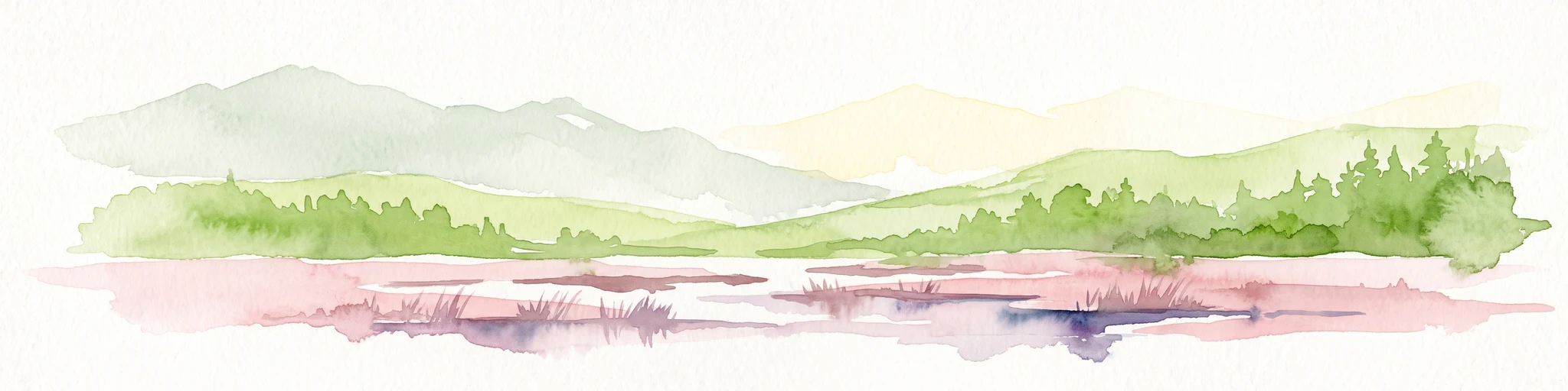
A soft, artistic watercolor painting of a green landscape leading to a lake, with rolling hills in the background and soft morning or evening light.
Nature reserveBrandenburg
About 3.9 km away#1 closest

Southeast

Bollwinwiesen/Großer Gollinsee Nature Reserve: Brandenburg Protected Area Atlas

Oligotrophic lake chains and peat-forming mire landscapes

Bollwinwiesen/Großer Gollinsee forms a critical ecological anchor within the Schorfheide-Chorin Biosphere Reserve. The area preserves a distinct glacial mosaic where clear water, Sphagnum-dominated mires, and traditional wet meadows converge to create a protected landscape defined by its high ecological integrity and historic conservation status.

Area
9.075 km²
Established
1990
IUCN
IV
Relief
Lowland
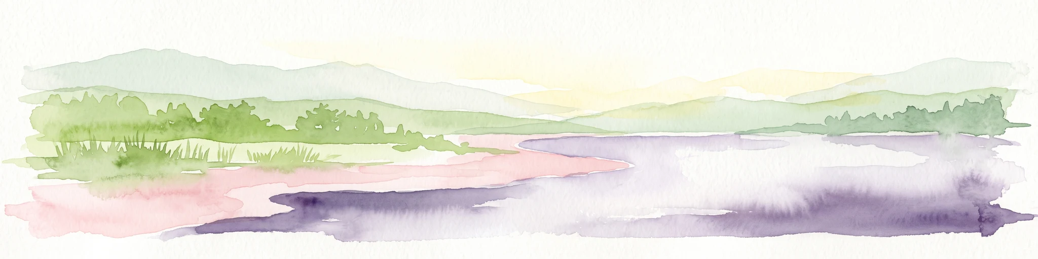
Watercolor painting of a gentle green hilly landscape with a foreground of soft pink and purple tones, set against a light background.
Nature reserveLandkreis Uckermark
About 9.2 km away#2 closest

East

Endmoränenlandschaft bei Ringenwalde: Nature Reserve and Glacial Landscape Exploration

Geomorphology and protected forest geography in Landkreis Uckermark

This nature reserve stands as a textbook example of end moraine morphology shaped by Pleistocene glaciers. The area serves as a vital component of the broader Schorfheide-Chorin Biosphere Reserve, preserving a distinct system of forested ridges, basin lakes, and varied micro-relief that offers deep insight into the natural history of the Brandenburg region.

Area
5.69 km²
Established
1990
IUCN
IV
Nature reserveBrandenburg
About 11 km away#3 closest

West

Kleine Schorfheide Nature Reserve: Brandenburg Protected Area and Landscape Atlas

Mapped terrain, river floodplains, and forest mosaic in Northern Brandenburg

Spanning over 73 square kilometres, Kleine Schorfheide stands as a significant nature reserve in Brandenburg. It protects a vast, contiguous mosaic of open former military training lands, the natural Havel river floodplain, and the Himmelpforter Heide forest, creating a distinct regional landscape defined by its varied terrain and interconnected lake systems.

Area
73.75 km²
Established
1994
IUCN
IV
Nature reserveBrandenburg
About 12 km away#4 closest

East

Winkel Nature Reserve: Glacial Landscape and Wetland Geography in Brandenburg, Germany

Mapping kettle-hole basins and moraine terrain

Winkel Nature Reserve serves as a vital protected area for studying the hydrological character of the Uckermark. The reserve features a dense network of small, water-filled kettle holes formed by melting glacial ice. This geographic record explores the interconnected wetland habitats and ground moraine surfaces that define this sensitive protected landscape in northeastern Germany.

Area
1.45 km²
Established
1990
IUCN
IV
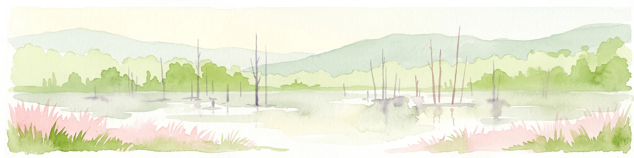
A watercolor painting depicting a calm wetland landscape with thin, bare tree trunks rising from the water, backed by soft green rolling hills and lush vegetation.
Nature reserveBrandenburg
About 12 km away#5 closest

East

Arnimswalde Nature Reserve: Mapped Protected Lake and Forest Ecosystems in Brandenburg

Glacial landscape and Natura 2000 protected territory

Arnimswalde represents a significant protected nature reserve within the Brandenburg region of Germany. This detailed geographic profile covers the reserve's unique glacial lake basins, peat-stained dystrophic waters, and diverse forest communities, offering a structured view of its contribution to regional biodiversity and the broader Schorfheide-Chorin conservation framework.

Area
14.069 km²
Established
1990
IUCN
IV
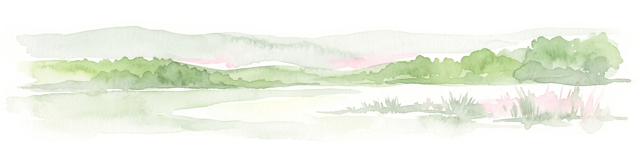
A soft watercolor illustration of a lake landscape with calm water, a green tree-lined shore, and gently rolling hills in the background.
Nature reserveBrandenburg
About 14 km away#6 closest

East

Krinertseen Nature Reserve: Protected Glacial Lakes and Bog Landscapes in Brandenburg

Essential geographic data for the Uckermark wetland conservation area.

Krinertseen provides a concentrated view of Brandenburg's post-glacial terrain. This nature reserve serves as an ecologically significant area defined by mesotrophic-alkaline lakes and active lake-succession mires. The site acts as a key component of the wider Schorfheide-Chorin conservation network, showcasing the complex relationship between regional hydrology and protected forest ecosystems.

Area
3.51 km²
Established
1990
IUCN
IV
Relief
Lowland
Protected areaBrandenburg
About 24 km away#7 closest

East

Suckower Haussee Protected Area: Geographic Overview and Habitat Mosaic in Uckermark, Brandenburg

Mapping spring mires, wet meadows, and dry grassland ecosystems

Suckower Haussee preserves a diverse habitat gradient typical of the Uckermark district. The protected area features a unique juxtaposition of limnic, peat-forming wetland habitats and nutrient-poor dry grasslands. This site acts as an essential component of the regional conservation network in northeastern Brandenburg, demonstrating the importance of small-scale landscape protection.

Area
1.37 km²
Established
1990
Scope
Terrestrial
Water
Major water bodies
Watercolor illustration of a winding river surrounded by soft green trees and low hills under a pale sky.
Nature reserveBrandenburg
About 24 km away#8 closest

Northwest

Kastavenseen-Molkenkammersee Protected Nature Reserve: Mapped Lake Geography and Forest Terrain

A key node in the Brandenburg lake and forest conservation network

Kastavenseen-Molkenkammersee is a notable nature reserve in Brandenburg defined by its four core waterbodies. The area features a complex mosaic of wetlands, reedbeds, and mixed woodland typical of the post-glacial lake districts. As a protected landscape, it serves as an essential link in the ecological corridor between the Uckermark and the neighboring Mecklenburg borderlands.

Area
2.68 km²
Established
2009
IUCN
IV

Common questions about visiting, size, designation, and location context for Buchheide

Buchheide FAQs for park facts, access, geography, and protected area context

Find quick answers about Buchheide, including protected-area facts, park geography, trail and visitor context, and how the park fits into its surrounding country and regional landscape.
MoriAtlas Explorer

Continue Your Protected Areas Search Across the Global Atlas

Deepen your exploration by continuing the structured search for national parks and protected areas worldwide. Utilize the comprehensive filtering capabilities to compare different conservation landscapes and refine your understanding of global park geography. Discover more about the distribution and characteristics of protected natural areas.

Global natural geography