
A comprehensive index of geomorphological features, ancient woodlands, and hydrologic systems.
Cairngorms National Park Natural Features, Landforms, and Topographic Atlas Collection
Explore the diverse natural terrain associated with Cairngorms National Park, including prominent mountain plateaus, glens, and straths. This structured index provides detailed context for the geological and hydrological systems that define this expansive protected landscape, ranging from the high-altitude summits to the river sources within the Scottish Highlands.
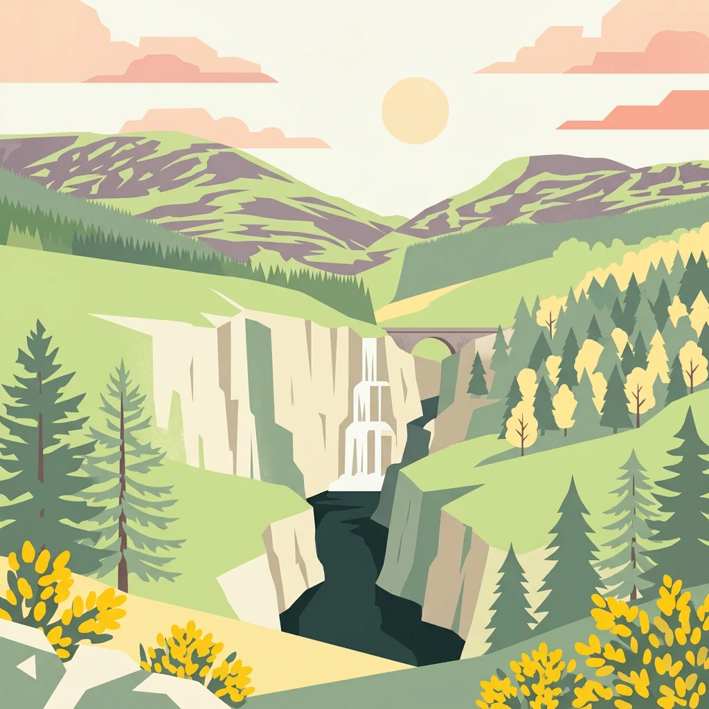
From high arctic plateaus to forested straths within and surrounding the park boundaries
Explore the Named Natural Features and Mountain Landscapes of Cairngorms National Park
Topographic summit data and peak geography
Peaks
Access a structured inventory of named peaks and high points found throughout Cairngorms National Park. This geography-first collection highlights individual summits that define the park plateau, range, and massif systems, providing a detailed look at the varied elevated landforms within this large protected area in Scotland.
Highland river systems and mountain water morphology
Rivers
Trace the course of major river systems and associated water features connected to Cairngorms National Park. This geographic collection highlights how mountain-sourced channels navigate the glens and straths of this significant protected landscape, offering a clear view of the park's internal water network.
Regional water features and natural basin distribution.
Lakes
Examine the distribution of lakes associated with Cairngorms National Park. This resource highlights the geographic placement and environmental settings of these inland water bodies, supporting a deeper understanding of how standing water shapes the park's diverse mountain and glen landscapes.
Mapped regional geography and terrain features
Valleys
Explore the collection of named valleys defined by their role in the Cairngorms National Park landscape. Each entry provides geographic context regarding the valley formation and its relationship to the surrounding mountains, plateaus, and river systems, offering a clear picture of the diverse topography within the park.
River descent points and cascades in the Cairngorms.
Waterfalls
Identify the named waterfall features and river cascades associated with the diverse terrain of Cairngorms National Park. This geographic inventory maps specific points of abrupt water descent across the high granite plateaus and glens, providing clarity on the role of hydrography in shaping this expansive protected highland environment.
Hydrological channels within a protected Scottish landscape.
Streams
Cairngorms National Park contains a multitude of streams that feed into major drainage systems, including the Spey, Dee, and Don. This curated collection focuses on identifying named watercourses within the park boundaries, mapping their presence across diverse elevations and landforms. These entities serve as key indicators of the regional water environment and are essential for understanding the park's complex mountain-to-strath hydrology.
Highland massifs and mountain topography within the park
Mountain ranges
Examine the interconnected mountain range systems that shape the terrain of Cairngorms National Park. This collection highlights the diverse highland structures and ridges that provide the essential geological framework for the region. Access data on individual mountain ranges to understand their spatial distribution, orientation, and role in defining the surrounding natural landscapes.
Geographic atlas of protected mountain landforms
Mountain saddles
Cairngorms National Park is characterized by its extensive plateau and mountain ranges, where numerous saddles connect peaks and define the relief of the landscape. This collection outlines the primary named saddles within the park, providing a clear reference for the topographic low points that separate elevated ridges throughout the Scotland highlands.
Geographic atlas of natural void connections
Cave entrances
Examine the distribution of cave entrance points located throughout the Cairngorms National Park. This structured collection focuses on the spatial positioning of these surface features, allowing for detailed observation of how these openings integrate into the larger mountain, glen, and strath landscape context.
Geographic woodland entities across the Cairngorms.
Forests
Access a structured collection of named forest entities found within the boundaries of Cairngorms National Park. These mapped features allow for precise study of woodland distribution and their relationship to the surrounding mountain ranges, straths, and river systems that define this protected Scottish landscape.
Continue Exploring Cairngorms National Park's Geographic Context and Protected Lands
Delve deeper into the atlas of Cairngorms National Park by examining its specific geographic features and the extent of its protected boundaries. Understanding this park's role within Scotland's natural landscape offers valuable context for exploring other protected areas and mapping regional terrain. Continue your discovery of its unique environment and its place in the UK's geography.