
Why Canaveral National Seashore stands out
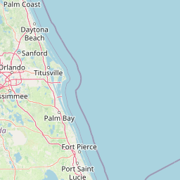
Canaveral National Seashore is best known for being the longest stretch of undeveloped coastline on Florida's East Coast, offering a rare continuous wilderness beach experience between the more developed resort areas to the north and south. Its combination of pristine ocean beach, active dune systems, and the expansive Mosquito Lagoon estuary gives it an unusually rich mix of marine, estuarine, and terrestrial habitats in a single protected area. The seashore is also widely recognized for its proximity to America's space program; viewing rocket launches from Playalinda Beach has become one of its distinctive experiences. Equally important but less visible is its deep archaeological record; the park preserves a remarkable sequence of Native American shell mounds and middens, including the prominent Turtle Mound, that make it a significant cultural and historical landscape as well as a natural one.
Canaveral National Seashore history and protected-area timeline
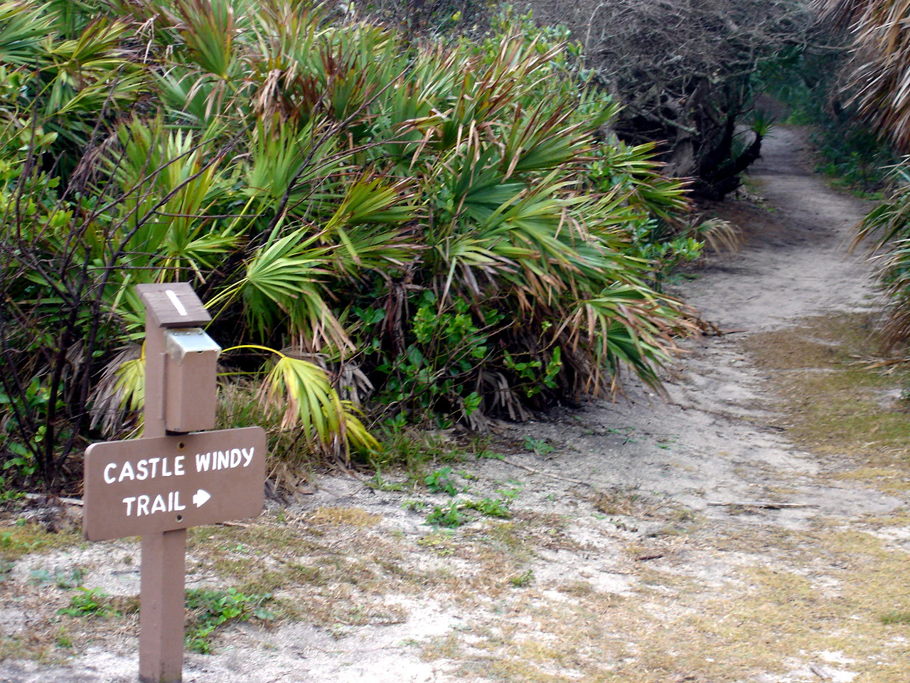
Canaveral National Seashore has a long history of human presence that stretches back at least four thousand years. Archaeological investigations by the National Park Service have documented 120 separate sites within the seashore, with evidence that Paleo-Indian and later groups were hunting, gathering, and eventually cultivating in the area from roughly 2000 BCE onward. Shell mounds and middens such as Snyder's Mound at Seminole Rest, the tall Castle Windy midden from around 1200 CE, and the much larger Turtle Mound stand as visible reminders of this deep Native American heritage.
By the time of early European exploration, the area was known to Spanish cartographers by names such as Canaveral (Cape Canaveral) and Los Moquitos (Mosquito Lagoon). These are among the oldest surviving European place names in North America and reflect the importance of the lagoon and its surrounding ecosystems to early travelers. Naturalists including William Bartram in 1774 and Andre Michaux in 1788 documented Turtle Mound as a navigational landmark for sailors along the Florida coast.
The modern conservation history of the seashore begins in the 1930s, when the National Park Service began systematically identifying areas suitable for 'national beach parks.' Concerns about vanishing shorelines, formalized in the 1955 report Our Vanishing Shoreline, eventually led to a shortlist of priority undeveloped coastal sites, including Mosquito Lagoon and its associated barrier island. In 1961, NASA's selection of Cape Canaveral as its primary launch site added an unexpected dimension: large land acquisitions by the space agency created de facto buffer zones that further limited development along the island and lagoon.
Community advocacy was decisive in achieving formal protection. In the late 1960s, artist and environmentalist Doris Leeper led the campaign to block proposed development on the barrier island, while local officials and Florida's congressional delegation, including Rep. William Chappell and Rep. Lou Frey, introduced legislation to establish a national seashore. Congressional visits in 1974, followed by bipartisan cooperation at the state and federal levels, overcame objections from the Department of the Interior related to nearby rocket launches. On January 3, 1975, President Gerald Ford signed the bill into law, creating Canaveral National Seashore as we know it today.
Canaveral National Seashore landscape and geographic character
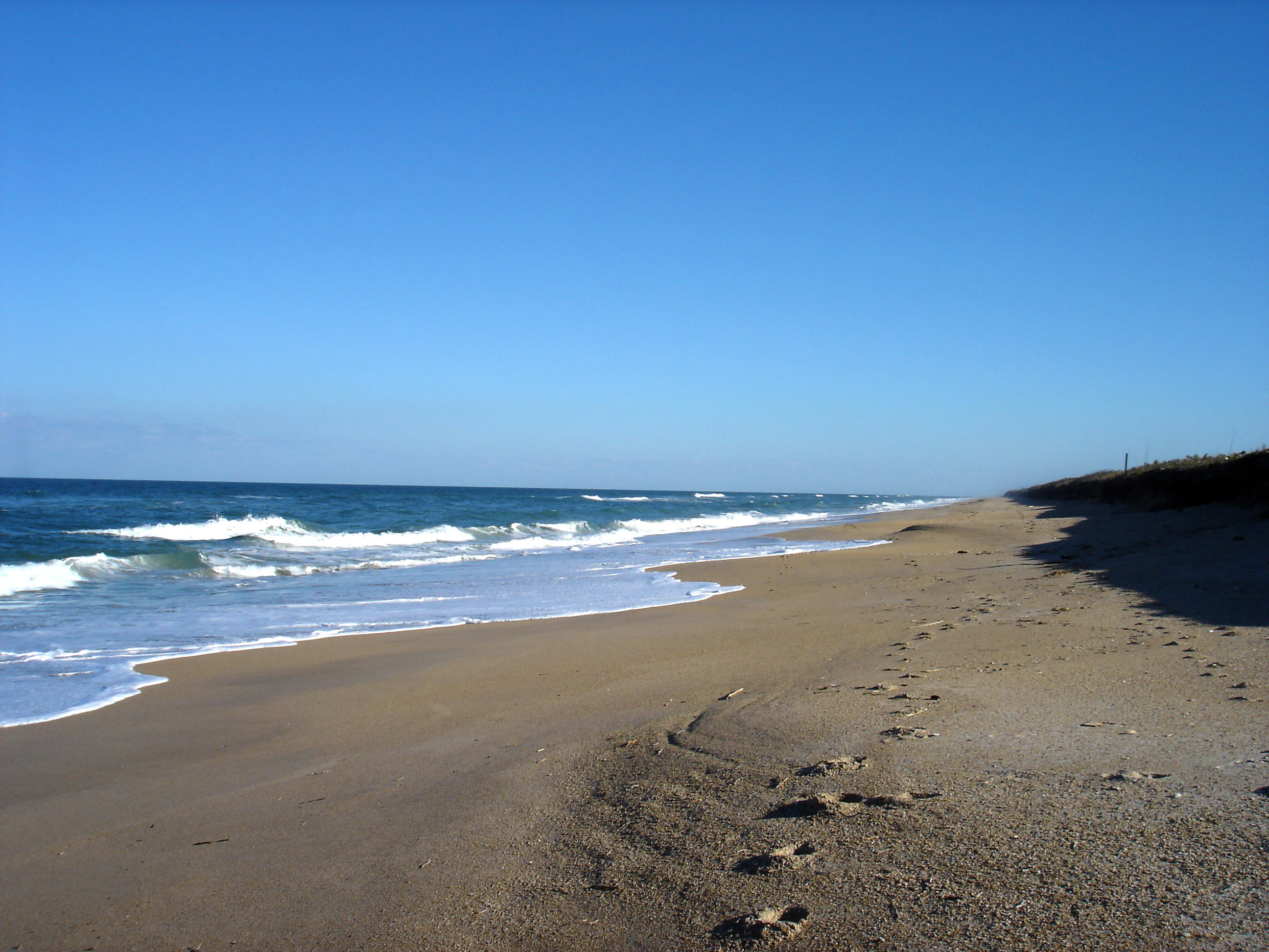
The defining landscape of Canaveral National Seashore is its long, narrow barrier island, flanked by the Atlantic Ocean to the east and the broad, shallow Mosquito Lagoon to the west. This contrast between an open, dynamic ocean shore and a calm, sheltered estuarine system is the central physical signature of the park.
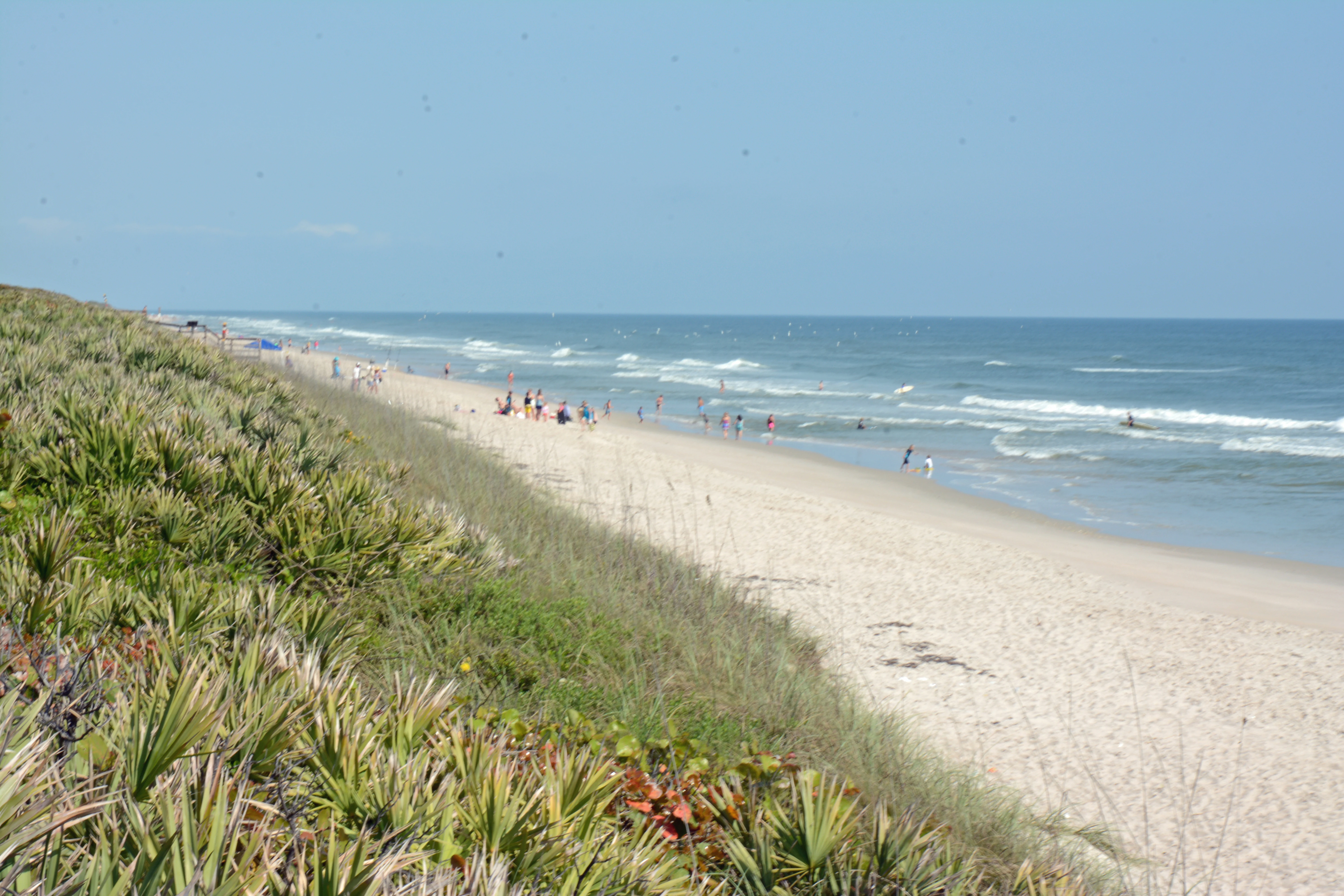
Along the ocean side, beaches give way to a continuous ridge of dunes built and reshaped by wind and storm over time. Behind the dunes, the island interior features maritime hammocks, coastal scrub, and patches of more sheltered forest, creating a gradient of vegetation from bare sand to dense canopy over relatively short distances. The dune ridge functions as both a physical buffer against storms and a habitat in its own right for specialized plants and animals.
On the lagoon side, the seashore includes an exceptionally large area of estuarine water, tidal creeks, and mangrove-fringed shorelines. Together, oceanfront beach, dune systems, hammocks, mangroves, and open lagoon waters form a complete cross-section of a southeastern US barrier-island landscape and give the park much of its scenic and ecological character.
Canaveral National Seashore ecosystems, habitats, and plant life
The natural environment of Canaveral National Seashore is shaped by the transition between ocean and estuary. The park's documented plant communities include more than 1,000 species, ranging from dune-stabilizing grasses and coastal wildflowers to the hardy shrubs and trees of the maritime hammocks. This high plant diversity reflects the variety of microhabitats packed into a narrow strip of barrier island and its immediate surroundings.
To the east, the open beach and dune systems are dominated by salt-tolerant vegetation adapted to shifting sand, salt spray, and intense sunlight. Moving inland, soils become more stable and the vegetation shifts to scrub and hardwood-dominated hammocks that provide crucial cover and food resources for wildlife. To the west, mangrove-dominated shorelines and tidal flats blend into the shallow waters of Mosquito Lagoon, where seagrass beds support a rich estuarine food web.
Altogether, these interconnected habitats give the seashore a layered ecological structure: a harsh, restless beach at its eastern edge; a sheltered, forested interior; and a productive estuarine lagoon on the mainland side. This layering is the foundation of the park's biodiversity and underpins its value as a stronghold for coastal wildlife.
Canaveral National Seashore wildlife and species highlights
Canaveral National Seashore supports an exceptionally rich bird community, with more than 310 documented species recorded. The mix of ocean beach, lagoon, mangroves, and maritime hammock creates habitat for both resident and migratory species, making the area a significant node in the Atlantic Flyway. Wading birds, shorebirds, and waterfowl are particularly conspicuous along the lagoon margins and tidal flats.
The adjacent Mosquito Lagoon is especially important for estuarine and marine species. Its seagrass beds, shallow flats, and mangrove edges support fish populations that include snook, redfish, speckled trout, sheepshead, black drum, and mangrove snapper, many of which are popular with anglers. Sea turtles nest on the ocean beaches, while the lagoon and its creeks host a variety of crustaceans and mollusks that in turn feed wading birds, raccoons, and other predators.
Larger mammals occasionally seen on or near the island include white-tailed deer, raccoons, and wild pigs, with bottlenose dolphins present in the lagoon and nearshore Atlantic waters. The rich combination of beach-nesting, estuarine, and woodland habitats means that wildlife viewing is one of the central reasons the seashore is valued as more than just a beach destination.
Canaveral National Seashore conservation status and protection priorities
From a conservation standpoint, Canaveral National Seashore's central importance lies in preserving one of the longest remaining natural stretches of Florida's Atlantic coast at a time when coastal development has transformed much of the surrounding region. By protecting the full cross-section of a barrier island, from open beach to estuarine lagoon, the seashore safeguards ecological processes that would otherwise be vulnerable to fragmentation.
The park's connection to the adjacent Merritt Island National Wildlife Refuge, much of which was originally acquired as a buffer for the Kennedy Space Center, amplifies its conservation role. Together, these lands form a much larger protected complex that supports migratory birds, threatened and endangered species, and estuarine productivity on a landscape scale well beyond the seashore's own boundaries.
Recognition of the seashore's value is reflected in its designation as an IUCN Category V protected landscape/seascape, acknowledging both its natural character and the human history embedded in its archaeological sites. Its establishment also marked an important step in the broader US effort, begun in the 1930s and intensified after the 1955 report Our Vanishing Shoreline, to formally protect representative examples of the nation's coastline before they were lost to development.
Canaveral National Seashore cultural meaning and human context
Canaveral National Seashore sits within a landscape of unusually continuous human occupation. Archaeological sites distributed across the island and lagoon margins document thousands of years of Native American life tied closely to marine and estuarine resources. Prominent mounds such as Turtle Mound, Castle Windy, and those at Seminole Rest are physical links both to the precolonial past and to the period of early Spanish exploration, when the coast was recorded on European maps with names like Canaveral and Los Moquitos.
These sites are not incidental; they are central to how the seashore is interpreted and understood. The Spanish phrase Surruque, used for the native people of the area, and the historical role of Turtle Mound as a navigational landmark for 18th-century naturalists such as William Bartram and Andre Michaux, illustrate the seashore's long-standing significance in North American cultural and geographic history.
In the modern era, the cultural identity of the region is also shaped by the Kennedy Space Center, whose land acquisitions inadvertently preserved much of the surrounding landscape and whose presence continues to influence access to the seashore's southern beach. The interplay between ancient mounds, early colonial place names, modern conservation advocacy, and America's space program gives the seashore a layered cultural context that complements its natural values.
Top sights and standout views in Canaveral National Seashore
Canaveral National Seashore's standout features are the qualities that make it both ecologically significant and experientially distinctive: an unbroken 24-mile stretch of undeveloped Atlantic beach, a continuous dune ridge, vast estuarine waters in Mosquito Lagoon, and dense maritime hammocks and mangroves supporting more than 1,000 plant species and 310 bird species.
Equally distinctive are its cultural highlights, including the prominent Turtle Mound and other ancient shell middens, and the unusual combination of a protected natural coastline with views of active rocket launch complexes at the adjacent Kennedy Space Center. The result is a seashore that manages to be simultaneously a quiet wilderness beach, a major birding and wildlife area, an archaeological landscape, and a window onto one of the most iconic technological sites in the United States.
Best time to visit Canaveral National Seashore
Because Canaveral National Seashore lies in a subtropical coastal climate, conditions are shaped more by season than by extreme temperature swings, and the park can be visited throughout the year. Cooler, drier months tend to bring quieter beaches, comfortable hiking conditions in the dunes and hammocks, and excellent opportunities for observing wintering and migratory waterfowl and shorebirds concentrated around Mosquito Lagoon.
Warmer months bring a livelier beach atmosphere and peak activity in the lagoon, but also coincide with sea turtle nesting season, when particular care is needed along the ocean shoreline. Visitors interested in viewing rocket launches from Playalinda Beach should be aware that access to the southern end of the seashore is occasionally restricted during launch operations at the nearby Kennedy Space Center, regardless of season. Overall, a balance between wildlife observation, comfortable temperatures, and lower crowds makes the cooler months especially rewarding for nature-focused visits.