
Why Caralue Bluff Conservation Park stands out
The park is best known for conserving a portion of the Eyre Peninsula landscape around Caralue Bluff, a notable landform situated to the south-west of the reserve. It also exemplifies the conversion of earlier water-conservation reserves into formally recognised South Australian conservation parks under modern wildlife legislation.
Caralue Bluff Conservation Park history and protected-area timeline
The land that now makes up Caralue Bluff Conservation Park was first granted protected area status on 9 December 1993, when it was proclaimed as the Caralue Bluff Conservation Reserve under the Crown Lands Act 1929. The reserve covered allotment 2 of Deposited Plan No. 37135 in the cadastral unit known as the Hundred of Caralue, and it had previously been part of the older Caralue Bluff Water Conservation Reserve.
Nearly two decades later, on 6 September 2012, the conservation reserve, along with an adjacent parcel of land, was re-constituted as Caralue Bluff Conservation Park under South Australia's National Parks and Wildlife Act 1972. This change of legal framework brought the protected area into the state's principal conservation legislation and broadened the management framework from historical reserves-based governance to a modern wildlife-protection regime.
Caralue Bluff Conservation Park landscape and geographic character
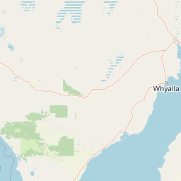
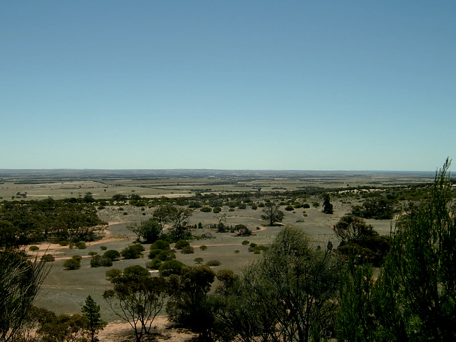
Caralue Bluff Conservation Park occupies a portion of the Eyre Peninsula landscape south-west of Kimba, in an area historically shaped by both natural landforms and agricultural development. The park's most prominent landscape reference is Caralue Bluff itself, a defined landform located just south-west of the park boundary, which gives the protected area both its name and its geographic anchor.
The protected area sits within the Hundred of Caralue and covers about 21.57 square kilometres of terrain that forms part of the broader Eyre Peninsula topography. While the park is modest in size, its position within a largely cleared rural region makes its relatively intact vegetation cover a meaningful component of the local landscape character. The setting reflects a typical Eyre Peninsula pattern where isolated blocks of conserved bushland sit amid surrounding grain-producing farmland.
Caralue Bluff Conservation Park ecosystems, habitats, and plant life
The conservation park protects a tract of native vegetation on the Eyre Peninsula in an area where much of the surrounding land has been converted to agricultural use. By retaining a block of uncleared bushland on terrain associated with the Caralue Bluff landform, the park contributes to the limited network of habitat remnants that supports local flora and the fauna that depend on it.
In the broader regional context, such reserves help maintain habitat continuity and provide refuge areas for species that have lost range elsewhere on the peninsula due to historic land clearing. The park's IUCN Category VI classification indicates a management intent that combines ecological preservation with sustainable use of the natural environment, rather than a strict reserve approach.
Caralue Bluff Conservation Park conservation status and protection priorities
Caralue Bluff Conservation Park sits within South Australia's conservation estate as a small but locally significant reserve on the Eyre Peninsula, where land clearance for agriculture has substantially reduced the extent of native vegetation. By holding about 21.57 square kilometres of bushland under formal protection, the park safeguards habitat and plant communities in an otherwise highly modified regional matrix.
The park's establishment reflects the progressive evolution of South Australian protected-area policy: from an initial proclamation as a conservation reserve under the Crown Lands Act 1929 to its later reconstitution as a conservation park under the National Parks and Wildlife Act 1972 in 2012. Its IUCN Category VI designation acknowledges a management approach that recognises both the value of the natural environment and the potential for sustainable use of its resources.
Top sights and standout views in Caralue Bluff Conservation Park
Caralue Bluff Conservation Park is named for the prominent Caralue Bluff landform just south-west of its boundary, tying the park's identity to a recognisable piece of Eyre Peninsula terrain. The protected area occupies about 21.5 square kilometres within the Hundred of Caralue and contributes a small but valuable refuge of native vegetation in a largely cleared agricultural landscape. Its transition from a former water conservation reserve to a conservation park in 2012 marks it as an example of how South Australia has modernised the legal basis of its smaller reserves over time.
Best time to visit Caralue Bluff Conservation Park
The Eyre Peninsula south-west of Kimba experiences a Mediterranean-influenced climate with mild, relatively wet winters and warmer, drier summers, conditions that shape the seasonal character of the surrounding bushland. Visiting in spring often coincides with cooler temperatures and periods when native vegetation is most active, while summer visits can be hot and dry, and winter visits may bring cooler weather and greener understorey conditions. Visitors planning to explore the area should consider these broad seasonal patterns when assessing ground conditions, rather than relying on any specific site-based timetable.