
Mori Atlas logo
Wildlife reserveCederberg Wilderness Area

Mapping the dramatic sandstone formations and protected fynbos biomes of South Africa.

Cederberg Wilderness Area: A Detailed Geographic Atlas of the Western Cape Mountain Range

Cederberg Wilderness Area stands as a prominent protected landscape within the Cape Fold Belt of South Africa, characterized by its wind-sculpted sandstone range and distinct geological architecture. The region encompasses deep ravines, cliff-lined peaks, and expansive fynbos vegetation that transitions into semi desert scrub. This record examines the physical geography, protected boundaries, and diverse natural terrain that define this significant area of the Western Cape.

wilderness areamountain rangesandstone formationsCape Fold BeltfynbosMediterranean shrubland
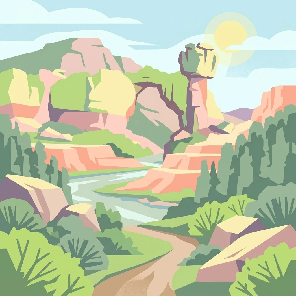
A stylized, flat-design illustration depicting a desert-like wilderness scene with prominent sandstone rock formations, a winding path, sparse green vegetation, and a bright sun in a clear sky.

Cederberg Wilderness Area

Wildlife reserve

Park overview

Structured park overview, official facts, and landscape profile for Cederberg Wilderness Area

Cederberg Wilderness Area park facts, protected area profile, and essential visitor context

Review the core facts for Cederberg Wilderness Area, including designation, size, terrain, visitor scale, habitats, and operating context in one park-focused overview.

About Cederberg Wilderness Area

The Cederberg Wilderness Area is a protected sandstone mountain range in the Western Cape province of South Africa, located in the West Coast district near the town of Clanwilliam and roughly 300 kilometres north of Cape Town. Established in 1973 and managed by CapeNature, it covers approximately 710 square kilometres of rugged terrain that stretches about 50 kilometres from north to south and 20 kilometres from east to west. The main access road, the N7, runs west of the range, and the nearest major towns are Citrusdal to the southwest and Clanwilliam to the north.

Geologically, the Cederberg belongs to the Cape Fold Belt and is dominated by rocks of the Cape Supergroup, particularly the hard Table Mountain Group sandstone that forms most of the highest peaks. Softer layers above, sculpted over millions of years by wind and weather, have produced the iconic caverns, arches, and unusual shapes such as the Wolfberg Arch, Wolfberg Cracks, and the Maltese Cross. The range also preserves a geological cross-section that includes the Pakhuis tillite, evidence of an ancient Ordovician glaciation around 450 million years ago, and rare fossil fish remains in shale bands within the sandstone sequence.

Botanically, the Cederberg sits within the Cape Floral Region, which is recognised globally for its exceptional plant diversity. The mountains support Mediterranean fynbos in their wetter southern and western slopes, shifting to semi desert scrub in the north and east, and harbour several endemic species of conservation concern, notably the Clanwilliam cedar and the snow protea. Wildlife in the area reflects both this botanical richness and the broader Western Cape faunal identity, with leopard and caracal as apex predators, Cape mountain zebra, bontebok, gemsbok, rock hyrax, meerkat, and chacma baboon among the larger mammals, together with rich bird, reptile, and insect life.

Culturally, the Cederberg is a landscape shaped by deep human history. Caves and overhangs across the range contain extensive San rock art that documents the presence of the area's earliest inhabitants. European settlement brought forestry and agriculture and led to dramatic declines in cedar populations through felling for timber, telegraph poles, and construction. The northern Cederberg remains closely tied to the historic Moravian mission station of Wupperthal, a small subsistence farming community known for traditional veldskoen leather shoe production. For visitors today, the Cederberg offers a unique combination of natural wilderness, geological spectacle, cultural heritage, and outdoor recreation, all within a relatively accessible region of the Western Cape.

Quick facts and research context for Cederberg Wilderness Area

A roughly 710 square kilometre wilderness area in the West Coast region of the Western Cape, South Africa, established in 1973 and administered by CapeNature. The range extends about 50 kilometres north to south and 20 kilometres east to west, with Sneeuberg at 2,026 metres as its highest peak. It is part of the Cape Floral Region Protected Areas, inscribed as a UNESCO World Heritage Site in 2004 and extended in 2015. The mountains form part of the Cape Fold Belt and are dominated by Table Mountain Group sandstone, with the landscape transitioning from fynbos in the south and west to semi arid scrub in the north and east.

Protection and recognition

Explore terrestrial protection metrics and official designation records for Cederberg Wilderness Area

Cederberg Wilderness Area Protection Status and Designated History

Cederberg Wilderness Area features documented terrestrial protection status established in 2004 without imported international recognition sources. Comprehensive protected area designation records outline the historical framework governing this regional conservation landscape.

Protection details

Protection scope
Terrestrial
Designated year
2004
Transboundary protection
No
Park context

Deeper park guide and search-rich context for Cederberg Wilderness Area

Cederberg Wilderness Area history, landscape, wildlife, and travel context

Explore Cederberg Wilderness Area through its history, landscape character, ecosystems, wildlife, conservation priorities, cultural context, and seasonal travel timing in a structured park guide built for atlas discovery and search intent.

Why Cederberg Wilderness Area stands out

The Cederberg is best known for its spectacular wind-sculpted sandstone formations, including the Wolfberg Arch, Wolfberg Cracks, the Maltese Cross, and the Stadsaal Caves, all carved from the softer upper layers of the Peninsula Formation. It is equally celebrated for its extraordinary fynbos flora, which harbours endemics such as the Clanwilliam cedar, and for the dense concentrations of San rock art preserved in its caves and overhangs. The combination of geological drama, botanical rarity, and ancient human cultural expression gives the area a deeply layered identity unlike anywhere else in the Western Cape.
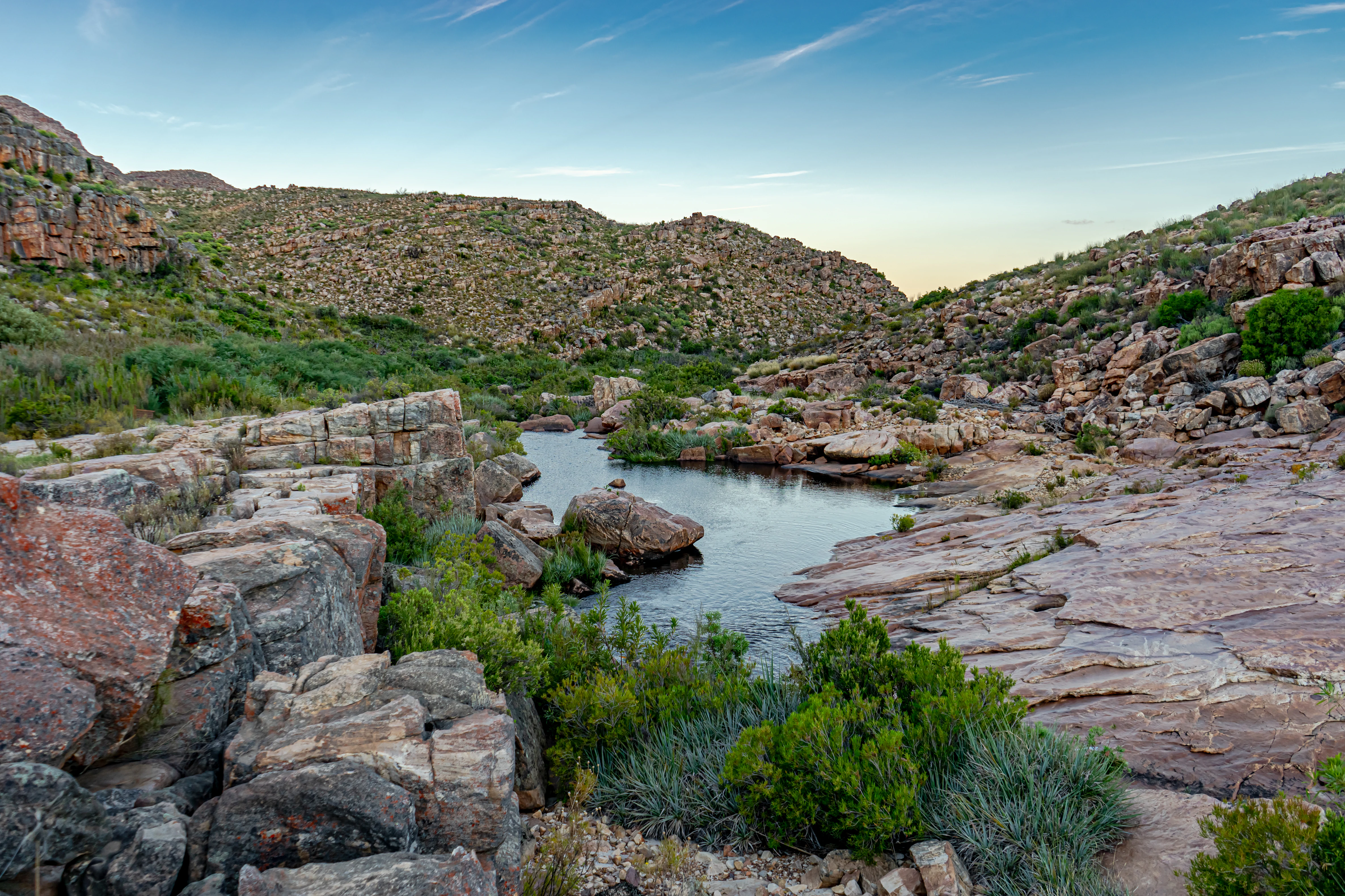
A small river pool sits amidst layered, weathered sandstone rocks and low-lying shrubs under a clear sky in a mountainous wilderness landscape.
A rocky river pool surrounded by the distinctive sandstone formations of the Cederberg Wilderness Area.

Cederberg Wilderness Area history and protected-area timeline

Human history in the Cederberg extends far back into precolonial times, with San communities leaving one of the densest concentrations of rock art in southern Africa across the caves and overhangs of the range. These paintings remain central to the cultural identity of the area and are a focal point for both conservation and tourism.

European colonisation transformed the landscape dramatically. Settlers brought forestry, farming, and commercial exploitation of the local cedar trees, leading to the felling of thousands of trees for telephone poles, furniture, and housing. The European arrival also contributed to the displacement and elimination of the indigenous San population across the region. In the northern Cederberg, the Moravian mission station of Wupperthal was established and continues today as a small subsistence farming community, retaining a distinctive local culture and the traditional craft of making veldskoen shoes.

In the late 19th century, the Cederberg briefly became a remote theatre of the Second Boer War when a small Boer commando penetrated this far south from the Boer republics, hoping to rally local Dutch-descended farmers to their cause. The episode is remembered locally through Engelsmanskloof, the ravine named after the lone Englishman said to have confronted and been killed by the Boer force. The Cederberg Wilderness Area was formally established in 1973 and is now administered by CapeNature. Its international conservation profile rose significantly when it became part of the Cape Floral Region Protected Areas inscribed as a UNESCO World Heritage Site in 2004, with the site extended in 2015.

Cederberg Wilderness Area landscape and geographic character

The Cederberg is a rugged sandstone mountain range of the Cape Fold Belt, dominated by dramatic rock formations of the Table Mountain Group. Its highest peak, Sneeuberg, rises to 2,026 metres, while Tafelberg, at 1,969 metres, is its most visually prominent summit. The hard lower layers of the Peninsula Formation sandstone weather into the resistant peaks and cliff lines that define the range.

Above these harder rocks, the softer upper layers of the Peninsula Formation sandstone have been sculpted by millions of years of wind erosion into the fantastical shapes for which the Cederberg is now famous. Natural arches such as Wolfberg Arch, together with the deep fissures of the Wolfberg Cracks, the isolated pillars like the Maltese Cross, and the dramatic chambers of the Stadsaal Caves, are the most recognisable landforms in the area. Reddish hues are characteristic, and the sandstone exposures are intermittently punctuated by shaley bands containing rare Ordovician fish fossils.

The range is bordered to the west by the low-lying Sandveld, to the north by the Pakhuis Mountains, to the east by the Springbok Flats, and to the south by the Kouebokkeveld Mountains and the Skurweberge. River valleys cut through the range, often sheltering rock pools and riparian vegetation that contrast with the arid uplands. The valleys and lower slopes are underlain by Bokkeveld mudstones, the foundation of the Western Cape's vineyards and fruit orchards, while the inland fringes give way to the arid Tanqua Karoo and the Swartruggens hills.
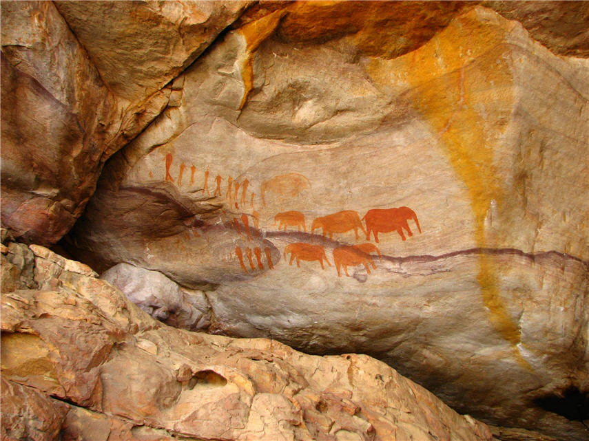
Ancient ochre-colored cave paintings of animals and human figures on a rugged sandstone rock face.
San rock art depicting animal figures, found in the Cederberg Wilderness Area.

Cederberg Wilderness Area ecosystems, habitats, and plant life

Ecologically, the Cederberg lies at the intersection of the Cape Floral Region, one of the world's six floral kingdoms, and the broader arid systems of the interior. The vegetation pattern is strongly driven by rainfall and elevation: the wetter southern and western slopes support classic Mediterranean fynbos, while the drier northern and eastern valleys transition into semi desert scrub and low shrubland. This gradient produces sharp ecological contrasts across relatively short distances within the wilderness area.

Fynbos environments in the Cederberg are particularly notable for their endemism. The area protects populations of the Clanwilliam cedar, an endangered conifer of the family Cupressaceae found only on the higher slopes of the range, and the snow protea, which is similarly restricted to remote, high-elevation sites. These localised endemics, alongside an unusually dense array of other fynbos species, contribute to the Cederberg's importance as part of the internationally recognised Cape Floral Region Protected Areas World Heritage Site. Threatened freshwater species reinforce the conservation value of the rivers that drain the mountains, among them the vulnerable Clanwilliam yellowfish and Clanwilliam redfin, and the endangered sawfin.
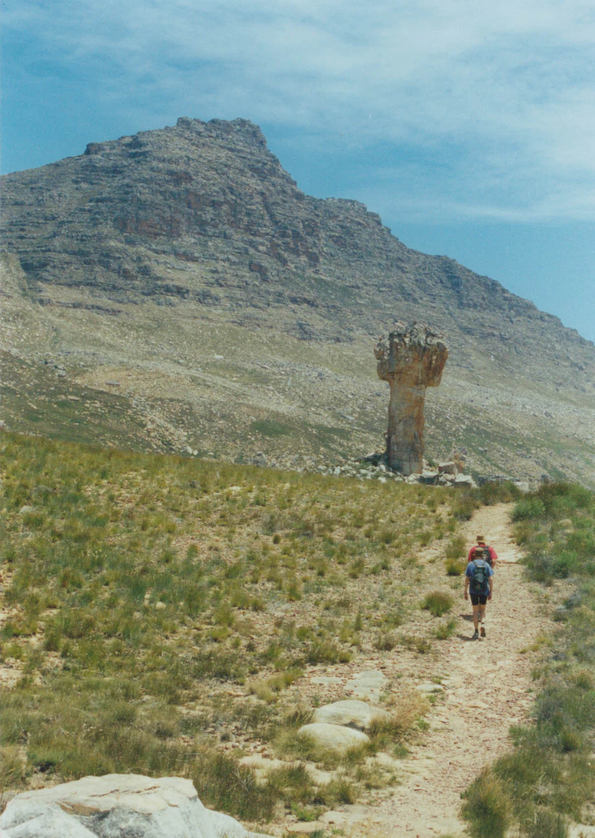
Two hikers walk on a dirt path through a grassy, arid landscape toward a large, cross-shaped sandstone rock formation, with a rugged mountain massif in the background.
Hikers approaching the iconic Maltese Cross rock formation with the Sneeuberg peak in the background.

Cederberg Wilderness Area wildlife and species highlights

The Cederberg supports a rich but characteristic Western Cape mammal fauna, shaped by the rugged terrain and the gradient from fynbos mountain slopes to arid scrub valleys. The apex predators of the wilderness area are the leopard and the smaller, more frequently observed caracal, both felids that depend on the rocky outcrops and isolated kloofs of the range.

Among the more visible mammals are chacma baboons, troops of which forage across the rocky slopes and valleys, rock hyrax, locally known as dassies, and the social meerkats and other mongooses. Larger herbivores adapted to the open, drier terrain include bontebok and gemsbok, while the vulnerable Cape mountain zebra is an important conservation presence in the area. Smaller mammals, reptiles, and insects add further diversity, and the range supports a sizeable bird community associated with both fynbos and semi arid habitats. The presence of rare freshwater fish in the Cederberg's rivers adds a further dimension to the wildlife profile of the wilderness area.

Cederberg Wilderness Area conservation status and protection priorities

The Cederberg Wilderness Area has a layered conservation profile that operates at regional, national, and international scales. Formally protected since 1973 and administered by CapeNature, it functions as a core reserve of the larger Cederberg Conservancy, a voluntary association of landowners working together on ecological management. The area's biodiversity is anchored in its position within the Cape Floral Region, and the wilderness area forms an important component of the broader set of protected landscapes that make up this UNESCO-recognised kingdom of plants.

The wilderness area's World Heritage inscription in 2004, extended in 2015 under the Cape Floral Region Protected Areas designation, recognises both the exceptional botanical diversity of its fynbos and the conservation value of its endemic and threatened fauna. Endangered and vulnerable species such as the Clanwilliam cedar, snow protea, Clanwilliam yellowfish, Clanwilliam redfin, and sawfin highlight the irreplaceability of the area's particular combination of mountain, fynbos, and river habitats.

Conservation in the Cederberg also extends to cultural heritage. The dense San rock art in the area's caves and overhangs is protected alongside the natural values, and the wilderness area is widely seen as a benchmark for integrated biodiversity and heritage protection in the Western Cape. The combination of mountain wilderness status, conservancy partnerships, and World Heritage recognition makes the Cederberg a significant node in southern Africa's conservation network.

Cederberg Wilderness Area cultural meaning and human context

The cultural landscape of the Cederberg is layered across many centuries. San communities lived across the mountains, leaving extensive rock paintings in caves such as those of the Stadsaal area and around Matjiesrivier Nature Reserve, where the images document hunting, gathering, spiritual life, and interactions between people and animals. This rock art is one of the densest and best preserved records of San cultural expression in southern Africa.

European and colonial arrival brought forestry exploitation, agriculture, and the displacement of indigenous San populations, dramatically reshaping the human geography of the Cederberg. In the northern part of the range, the historic Moravian mission station of Wupperthal and surrounding buite stasies such as Heuningvlei continue a distinct cultural tradition, including the local craft of making veldskoen, traditional soft leather shoes. Rooibos tea cultivation, fruit farming, tobacco, and even the highest vineyard in South Africa all form part of the area's living agricultural heritage.

Top sights and standout views in Cederberg Wilderness Area

The Cederberg's standout features include the wind-sculpted sandstone landmarks of Wolfberg Arch, Wolfberg Cracks, the Maltese Cross, and the Stadsaal Caves, each shaped by millennia of erosion from the softer upper sandstone layers. Its botanical highlights are equally striking, centred on the endemic Clanwilliam cedar and snow protea within a rich fynbos flora that transitions into semi desert scrub across relatively short distances.

Cultural and experiential highlights reinforce the wilderness character of the area. Extensive San rock art sites, the historic Moravian village of Wupperthal, dramatic night skies that support a local amateur observatory, and a network of hiking, rock climbing, and 4x4 routes all combine to make the Cederberg a richly textured protected landscape. Its inclusion in the Cape Floral Region Protected Areas World Heritage Site since 2004 underlines the global significance of both its natural and cultural values.

Best time to visit Cederberg Wilderness Area

The Cederberg has a strongly seasonal character that shapes how the area is experienced. Summers are very hot and dry, with largely clear, cloudless days and minimal rainfall, making this period ideal for crisp hiking conditions and exceptionally clear skies that benefit stargazing and amateur astronomy at the Cederberg observatory. Vegetation in this period is parched and golden, and the sandstone formations appear at their most starkly exposed.

Winters are cooler and bring the bulk of the year's rainfall, typically under 700 millimetres in the low-lying areas. The wetter conditions refresh the fynbos and can bring occasional light snow dustings to the highest peaks, including Sneeuberg. While some routes may be more challenging in wet weather, the cooler temperatures, greener landscapes, and seasonal waterfalls make winter and early spring a rewarding time to explore the wilderness area for those prepared for variable mountain conditions.
Monthly climate preview

Long term representative measurements for temperature and precipitation trends

Cederberg Wilderness Area Climate Normals and Annual Weather Patterns

Representative coordinates record measured monthly variations in average temperature and precipitation across the terrain of Cederberg Wilderness Area. Examining the complete twelve month dataset provides deeper insight into the long term climate norms for this protected area.
Annual mean16 °C
9 °C24 °C
Jan24°
Feb24°
Mar22°
Apr17°
May13°
Jun
Jul
Aug
Sep12°
Oct16°
Nov18°
Dec22°
Warmest month
January

23.7 °C

Coolest month
July

8.7 °C

Wettest month
June

3.6 mm/day

Driest month
January

0.4 mm/day

Park location guide

Geography guide, regional context, and park location map for Cederberg Wilderness Area

Cederberg Wilderness Area park geography, regions, and map view in South Africa

Understand where Cederberg Wilderness Area sits in South Africa through a broader geographic reading of the surrounding landscape, nearby location context, and its mapped position within the national park landscape.

How Cederberg Wilderness Area fits into South Africa

South Africa is the southernmost country in Africa, spanning 1.22 million km² with a population of over 63 million. The country operates with three capital cities, Pretoria (executive), Cape Town (legislative), and Bloemfontein (judicial), and is renowned for its biodiversity, national parks, and multicultural society.

Wider geography shaping Cederberg Wilderness Area in South Africa

South Africa occupies the southernmost region of Africa, with coastline along both the Atlantic Ocean to the west and the Indian Ocean to the east. The interior features elevated plateaus including the Highveld, with the Drakensberg escarpment marking the eastern highlands. The country shares borders with Namibia, Botswana, Zimbabwe, Mozambique, Eswatini, and Lesotho.

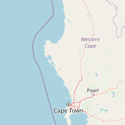
Map view of Cederberg Wilderness Area

Use this park location map to pinpoint Cederberg Wilderness Area in South Africa, understand its exact geographic position, and read its mapped placement within the surrounding landscape more clearly.

Pigeon | © OpenStreetMap contributors

Location context for Cederberg Wilderness Area

Western Cape

Visualizing rugged sandstone formations, fynbos habitats, and protected mountain terrain

Cederberg Wilderness Area Photos and Landscape Scenery

Examine detailed photographs showcasing the wind-sculpted sandstone architecture, deep ravines, and native fynbos vegetation of Cederberg Wilderness Area. Visual documentation reveals the distinct topography and protected-area character defining this mountainous region in the Western Cape.

A small river pool sits amidst layered, weathered sandstone rocks and low-lying shrubs under a clear sky in a mountainous wilderness landscape.

A wide panoramic view of the Wolfberg Arch, a large natural sandstone rock arch formation set in a rugged mountainous desert landscape under a bright blue sky.

Ancient ochre-colored cave paintings of animals and human figures on a rugged sandstone rock face.

Two hikers walk on a dirt path through a grassy, arid landscape toward a large, cross-shaped sandstone rock formation, with a rugged mountain massif in the background.

Park atlas

Compare regional mountain ranges, fynbos reserves, and connected wilderness terrain

Explore Parks Near Cederberg Wilderness Area and Surrounding Protected Landscapes

Continue geographic discovery by comparing protected areas adjacent to Cederberg Wilderness Area across the Western Cape. Examine surrounding regional terrain and related mountain ecosystems to expand your broader park exploration.
Nature reserveWestern Cape
About 35 km away#1 closest

Southeast

Matjiesrivier Nature Reserve: Botanical Diversity and San Rock Art in Western Cape

A protected landscape bridging fynbos and karoo ecosystems

Matjiesrivier Nature Reserve represents a critical conservation landscape in South Africa, known for the transition between mountain terrain and semi-arid basins. The reserve protects unique slate-based soil habitats that sustain a blend of Cape Floral Kingdom vegetation and hardy karoo species. Visitors and researchers recognize this area for its high density of San rock art sites, offering a deep cultural look into the Late Stone Age history of the Western Cape.

Area
128 km²
Established
1995
Water
Minor water
Watercolor illustration showing a mountain range with green hills and pink flowers
National parkNorthern Cape
About 55 km away#2 closest

East

Tankwa Karoo National Park National Park: Mapped Protected Landscape in Northern Cape

Explore regional geography and protected area boundaries.

Tankwa Karoo National Park is a key protected area situated in the vast Northern Cape region of South Africa. This entry provides a detailed atlas perspective, focusing on the park's mapped geography and its significance as a national park. Understand the park's landscape context and its position within the broader regional geography for informed exploration and geographic discovery.

Area
1,436 km²
Established
1986
Relief
Upland
Climate
Arid
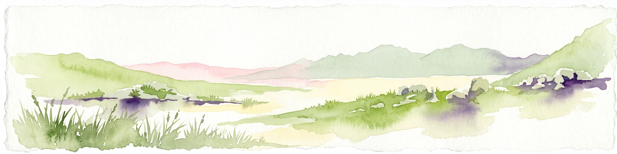
A horizontal watercolor painting showing a soft, stylized mountain landscape with green hills, purple shadows, and grassy foreground.
Wildlife reserveWestern Cape
About 77 km away#3 closest

South

Groot Winterhoek Wilderness Area: Protected Mountain Reserve in the Western Cape

Mapping sandstone ridges, fynbos plateaus, and mountain river systems

Spanning 30,000 hectares, Groot Winterhoek Wilderness Area represents a core mountain wilderness in South Africa. Its dissected landscape of Table Mountain sandstone features high peaks, sheltered kloofs, and seasonal rockpools, forming a critical ecological corridor and water catchment within the Cape Fold Belt mountain system.

Area
306.08 km²
Relief
Mountain
Climate
Mediterranean
Access
Moderate access
Nature reserveWestern Cape
About 78 km away#4 closest

West

Bird Island Nature Reserve: Mapped Coastal Protected Areas and Seabird Habitats

Geography and protected island landscapes in Western Cape, South Africa

Bird Island Nature Reserve represents a key protected coastal landform off the West Coast of South Africa. This three hectare reserve functions as a critical nesting ground, characterized by flat rocky shelves and sun-bleached outcrops. Browse the mapped boundaries and geographic features of this marine sanctuary, which plays a major role in regional seabird conservation and coastal ecological study.

Area
0.03 km²
Established
1988
Relief
Lowland
Climate
Mediterranean
Nature reserveWestern Cape
About 80 km away#5 closest

Southwest

Rocherpan Nature Reserve: Mapping Coastal Wetlands and Strandveld Landscapes in the Western Cape

Protected coastal reserve on the South African West Coast.

Located along the Atlantic shore between Velddrif and Elands Bay, Rocherpan Nature Reserve encompasses a rare, seasonal wetland system. The reserve protects a complex of dune cordons, sandy beaches, and low-lying coastal veld that transforms dramatically with the winter rains. This map-focused entry highlights the ecological layering and geographic significance of this South African protected area.

Area
18 km²
Established
1976
Relief
Lowland
Climate
Mediterranean
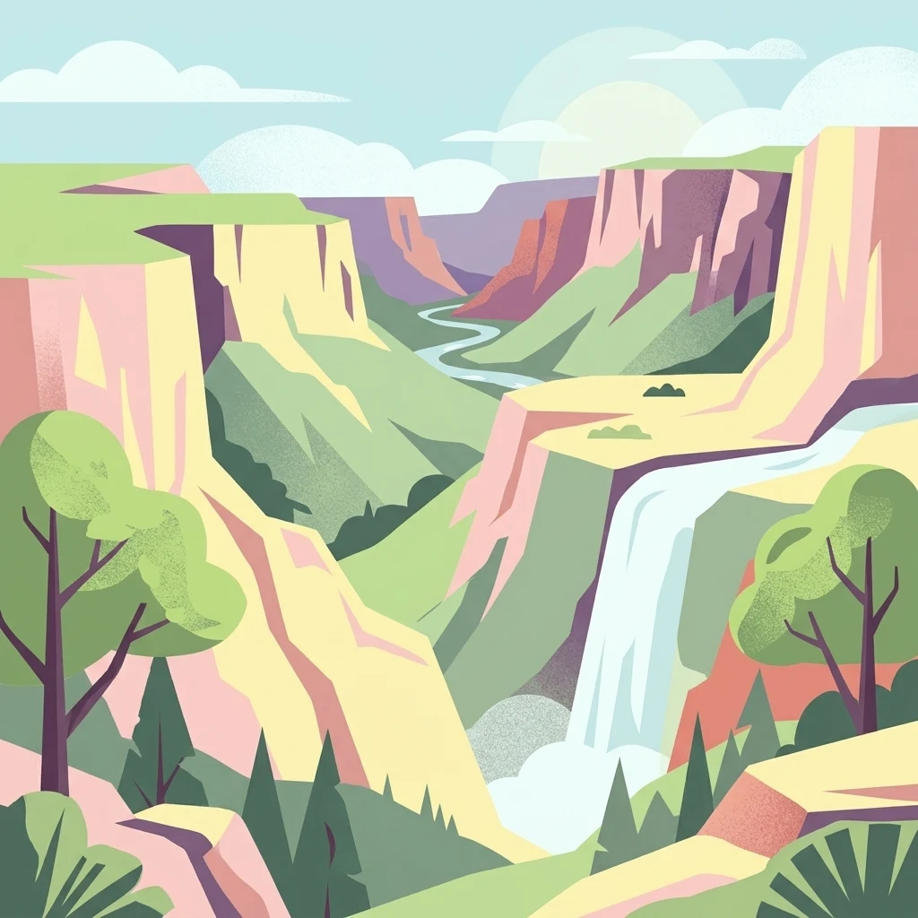
A stylized digital illustration of a deep gorge with steep rocky cliffs, a flowing river, a waterfall, and trees in the foreground.
Nature reserveNorthern Cape
About 93 km away#6 closest

North

Oorlogskloof Nature Reserve; Protected Mountain Landscapes and River Gorges of Northern Cape

A diverse protected area featuring Karoo-fynbos biome transitions.

Oorlogskloof Nature Reserve presents a dramatic study in regional geography, characterized by deep river canyons, exposed rock shelves, and vast semi-desert plateaus. Located near the edge of the Knersvlakte, the reserve creates a refuge where seasonal waterfalls and rocky basins provide essential freshwater habitats. This atlas entry focuses on the interplay between its steep cliff formations and the surrounding Northern Cape plains, offering a comprehensive view of the terrain and ecological diversity.

Area
47.76 km²
Established
1971
Relief
Mountain
Scope
Terrestrial
National parkWestern Cape
About 107 km away#7 closest

Southwest

West Coast National Park: A National Park's Mapped Boundaries and Geographic Identity

Explore its protected landscape within the Western Cape region.

West Coast National Park is a protected national park situated in the Western Cape province of South Africa. This dedicated page provides a structured view of its geographic scope, emphasizing its mapped boundaries and its significance as a protected landscape within the region's broader atlas context. Gain insight into the park's distinct natural terrain and regional geography.

Area
362.59 km²
Established
1985
Climate
Mediterranean
Access
Easy access
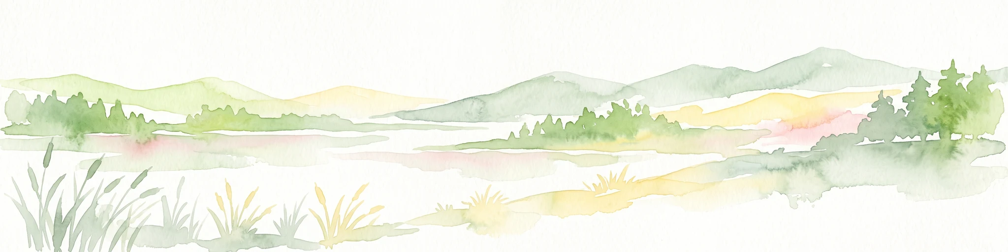
A watercolor painting showing a soft, panoramic landscape with green hills in the background, a body of water in the middle ground, and grasses in the foreground.
Nature reserveWestern Cape
About 151 km away#8 closest

Southwest

Dassen Island Nature Reserve: Atlantic Geography and Protected Area Overview

Coastal refuge and protected granite-based Atlantic island

Located in the cold waters off the Western Cape, Dassen Island is a proclaimed nature reserve and Ramsar wetland. This flat Atlantic landmass is characterized by its granitic reef structure and long-established role as a sanctuary for African penguins and other seabird populations. The island represents a convergence of maritime history and marine conservation, offering a unique geographic perspective on South Africa's coastal wilderness.

Area
2.6 km²
Established
2019
Relief
Lowland
Climate
Mediterranean

Common questions about visiting, size, designation, and location context for Cederberg Wilderness Area

Cederberg Wilderness Area FAQs for park facts, access, geography, and protected area context

Find quick answers about Cederberg Wilderness Area, including protected-area facts, park geography, trail and visitor context, and how the park fits into its surrounding country and regional landscape.
MoriAtlas Explorer

Continue Your Protected Areas Search Across the Global Atlas

Deepen your exploration by continuing the structured search for national parks and protected areas worldwide. Utilize the comprehensive filtering capabilities to compare different conservation landscapes and refine your understanding of global park geography. Discover more about the distribution and characteristics of protected natural areas.

Global natural geography