
Mori Atlas logo
Protected areaComplexe W-Arly-Pendjari

A transboundary conservation corridor spanning savannas, river valleys, and sandstone escarpments.

Complexe W-Arly-Pendjari: Mapped Geography and Protected Landscapes of the WAP Complex

(Complexe W-Arly-Pendjari (WAP Complex))

The Complexe W-Arly-Pendjari serves as a landmark conservation corridor across West Africa, uniting the W, Arly, and Pendjari regions into a single, vast protected landscape. Spanning Benin, Burkina Faso, and Niger, this complex preserves diverse Sudano-Sahelian habitats, ranging from wooded savannas and gallery forests to dramatic sandstone escarpments. The geographic interconnectedness of these lands supports vital regional populations of large mammals while showcasing the ecological importance of transboundary cooperation in the Sudano-Sahelian zone.

transboundary parkUNESCO World Heritage SiteUNESCO Biosphere ReserveSudano-Sahelian savannawoodland and grasslandriverine ecosystems
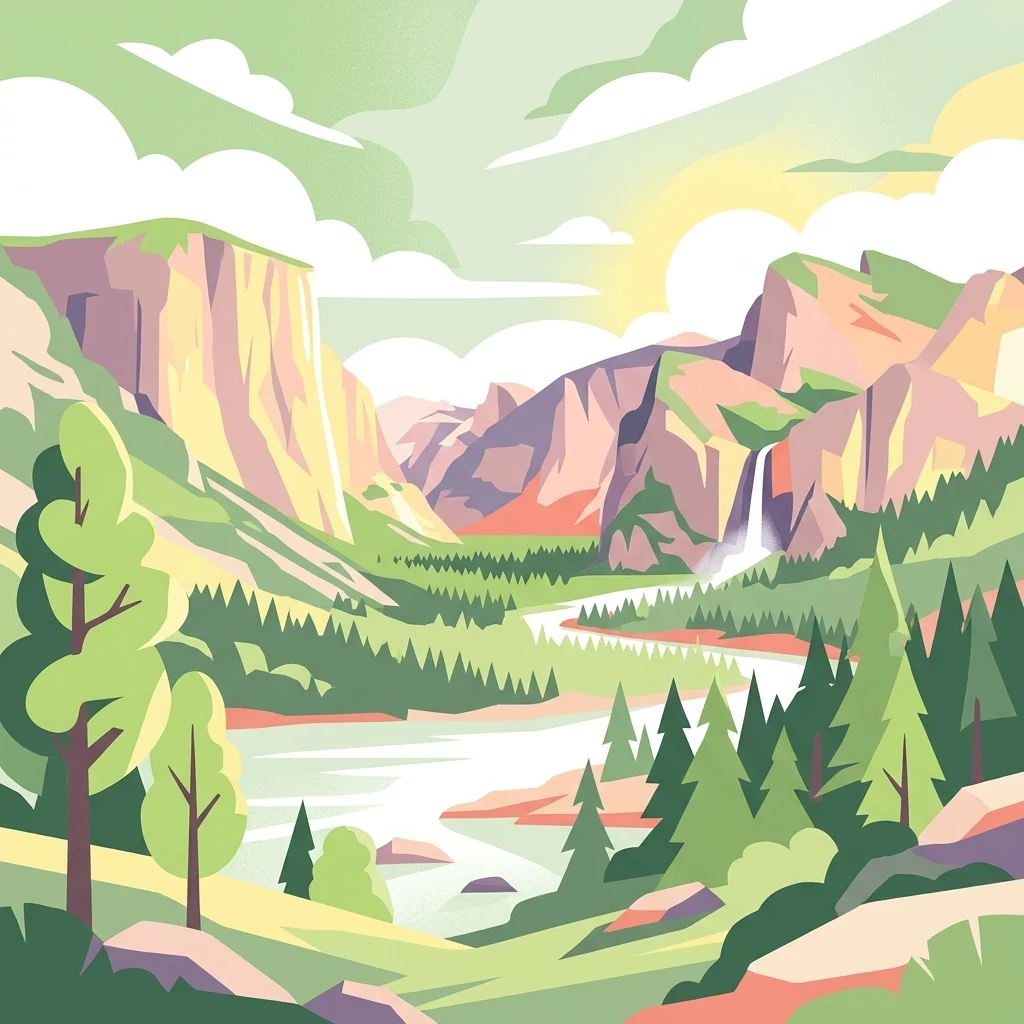
An illustrative style digital artwork showing a mountain valley landscape with a winding river, dense evergreen forests, waterfalls falling from cliff faces, and a sunrise sky.

Complexe W-Arly-Pendjari

Protected area

Park overview

Structured park overview, official facts, and landscape profile for Complexe W-Arly-Pendjari

Complexe W-Arly-Pendjari park facts, protected area profile, and essential visitor context

Review the core facts for Complexe W-Arly-Pendjari, including designation, size, terrain, visitor scale, habitats, and operating context in one park-focused overview.

About Complexe W-Arly-Pendjari

The Complexe W-Arly-Pendjari is among the most significant transboundary conservation initiatives in West Africa, bringing together the W National Park, the Pendjari National Park, and the Arly National Park in a single internationally recognized framework. Located across Benin, Burkina Faso, and Niger, the complex represents a coordinated attempt to protect the natural heritage of the Sudano-Sahelian ecological zone, where habitats and wildlife populations typically cross national borders.

At the core of the complex is the W National Park, whose distinctive shape inspired the letter that gives it its name; portions of the park lie in each of the three countries, making it the main transboundary anchor of the entire system. The Pendjari National Park in northern Benin contributes one of the most ecologically rich protected areas of the country, while the Arly National Park in southeastern Burkina Faso extends the conservation corridor further west. Together these three areas form a continuous mosaic of savanna, woodland, and riparian habitats that supports some of the region's most important wildlife populations.

The broader landscape surrounding the protected core has also been formally integrated into conservation planning through the designation of the WAP transboundary UNESCO Biosphere Reserve in October 2020. This reserve merged three previously separate national biosphere reserves into one coordinated framework spanning over 94,000 square kilometers, encompassing not only strictly protected zones but also buffer and transition areas where around four million people live. The dual status of the complex, both a natural World Heritage Site and a transboundary biosphere reserve, reflects its importance for biodiversity, ecological connectivity, and sustainable human-environment relationships across the region.

Quick facts and research context for Complexe W-Arly-Pendjari

The Complexe W-Arly-Pendjari is a UNESCO World Heritage Site inscribed in 1996 and extended in 2017, covering approximately 1,494,831 hectares across Benin, Burkina Faso, and Niger. It is also designated as a transboundary UNESCO Biosphere Reserve as of October 2020, with the broader reserve zone exceeding 94,000 square kilometers and supporting around four million residents.

The protected landscape combines three flagship areas: the W National Park, shared between Benin, Burkina Faso, and Niger; the Pendjari National Park in Benin; and the Arly National Park in Burkina Faso. Together they form one of the largest contiguous conservation complexes in West Africa's Sudano-Sahelian belt, and are recognized under UNESCO natural criteria (ix) and (x) for their ecological and biodiversity significance.

Protection and recognition

Documented transboundary designation history and international recognition

Complexe W-Arly-Pendjari Protection Status and UNESCO Recognition

Complexe W-Arly-Pendjari holds documented protection status anchored by a 1996 designation year and formal transboundary recognition. Structured data records verify official UNESCO World Heritage status for the protected area and its surrounding conservation landscape.

International recognition

Protection details

Designated year
1996
Transboundary protection
Yes
Park context

Deeper park guide and search-rich context for Complexe W-Arly-Pendjari

Complexe W-Arly-Pendjari history, landscape, wildlife, and travel context

Explore Complexe W-Arly-Pendjari through its history, landscape character, ecosystems, wildlife, conservation priorities, cultural context, and seasonal travel timing in a structured park guide built for atlas discovery and search intent.

Why Complexe W-Arly-Pendjari stands out

The WAP Complex is best known for being one of the last major strongholds of West African savanna wildlife, particularly for its elephants and lions roaming across continuous transboundary habitats. It is also recognized as a model of cross-border conservation cooperation, joining national parks from three countries into a single management and protection framework. Beyond its megafauna, the complex is valued for the intact Sudano-Sahelian landscapes it protects, including dry woodland, gallery forests along seasonal rivers, open grasslands, and sandstone escarpments. The combination of these habitats with large, relatively undisturbed mammal populations is what gives the WAP Complex its distinctive place within African and global conservation.
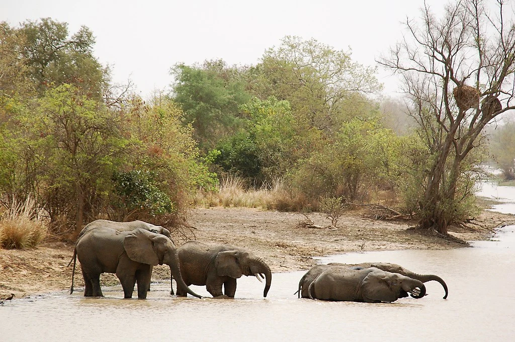
Four African elephants standing and resting in a shallow, muddy riverbank with green trees and brush in the background.
A small group of African elephants bathing in a river within the W-Arly-Pendjari complex.

Complexe W-Arly-Pendjari history and protected-area timeline

The history of the Complexe W-Arly-Pendjari is rooted in the progressive realization that isolated national parks in West Africa could not adequately protect wide-ranging wildlife. The W National Park, the Pendjari National Park, and the Arly National Park each have their own national establishment histories, but their convergence into a single internationally recognized entity began when UNESCO inscribed the W-Arly-Pendjari complex as a World Heritage Site in 1996 under natural criteria (ix) and (x).

The site's international recognition was substantially extended in 2017 at the 41st session of the World Heritage Committee, expanding the scope of protections across the broader transboundary landscape. In October 2020, the countries involved took this cooperation a step further by merging three previously separate national biosphere reserves into a single transboundary UNESCO Biosphere Reserve, formally integrating the surrounding inhabited areas into the conservation framework.

Beginning around 2018, the complex has faced serious new pressures from insecurity linked to armed extremist groups operating across the wider Sahel. These groups have used the remote and extensive protected landscapes as a logistical base, engaging in poaching, illegal gold mining, smuggling of fuel and goods, and even hostage-taking. The resulting instability has significantly affected park management, local communities, and wildlife populations, with documented declines in elephant numbers between 2015 and 2021 illustrating the scale of the challenge facing the complex.

Complexe W-Arly-Pendjari landscape and geographic character

The landscape of the WAP Complex is shaped by the transitional character of West Africa's Sudano-Sahelian zone, where the wetter Sudanian savannas of the south gradually give way to the drier Sahelian conditions of the north. The terrain includes broad stretches of open and wooded savanna, undulating plains, rocky outcrops, and sandstone escarpments that create strong topographic variation across the protected areas. These dryland landscapes are interspersed with seasonal river systems that sustain gallery forests and riparian vegetation along their banks, providing critical habitat structure and water sources during the dry season.

The Pendjari and W parks in particular are known for their dramatic escarpment country, where sandstone cliffs and scree slopes overlook valleys traversed by seasonal rivers such as the Pendjari and the Mekrou, tributaries of the Niger River system. The Arly area, by contrast, is characterized more by gently rolling savanna woodlands and floodplain corridors associated with the Arly River and its tributaries. The 'W' shape of the W National Park itself follows the river systems and international borders that intersect in this region, giving the park both its iconic form and its transboundary character.

Across all three component areas, the landscapes share a common ecological gradient from denser, more wooded formations near permanent sources of water to increasingly open, grass-dominated savanna as aridity increases. This gradient is a defining feature of the complex and supports the diversity of habitats that make the WAP region ecologically distinctive within West Africa.
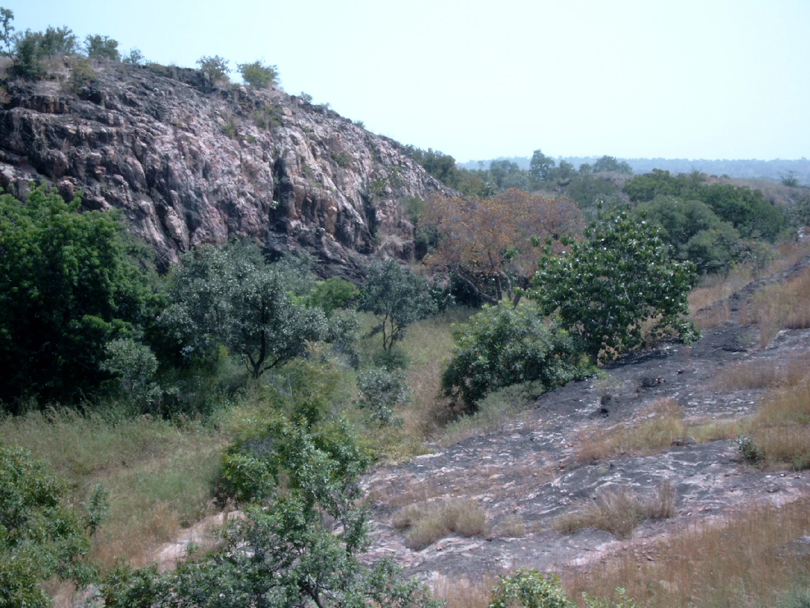
A rocky, craggy hillside rises above a wooded savanna landscape with scattered trees and shrubs under a hazy sky.
A rocky hillside and surrounding savanna vegetation within the Arli section of the W-Arly-Pendjari complex.

Complexe W-Arly-Pendjari ecosystems, habitats, and plant life

The ecological identity of the WAP Complex is defined by its role as one of the most extensive and best-conserved Sudano-Sahelian ecosystems remaining in West Africa. Its habitats include dry deciduous woodland, tree and shrub savanna, open grasslands, rocky escarpment vegetation, and important gallery-forest corridors along the seasonal rivers of the Pendjari, Mekrou, and Arly systems.

Plant communities across the complex reflect the north-south climatic gradient that runs through it, with Sudanian tree species more prevalent in the wetter southern sectors and increasingly Sahelian elements appearing toward the north. Seasonal floodplains and riverine corridors create localized pockets of higher moisture and structural diversity, which act as biodiversity refuges during the long dry season and concentrate wildlife activity around reliable water sources.

These varied habitats collectively support a broad spectrum of birdlife and invertebrates along with the large mammals for which the complex is best known, forming an ecological network whose value depends on the maintenance of habitat connectivity across national borders. The reliance on cross-border ecological flows is a defining characteristic of the complex and the reason why its biodiversity importance extends well beyond any one of its component parks.
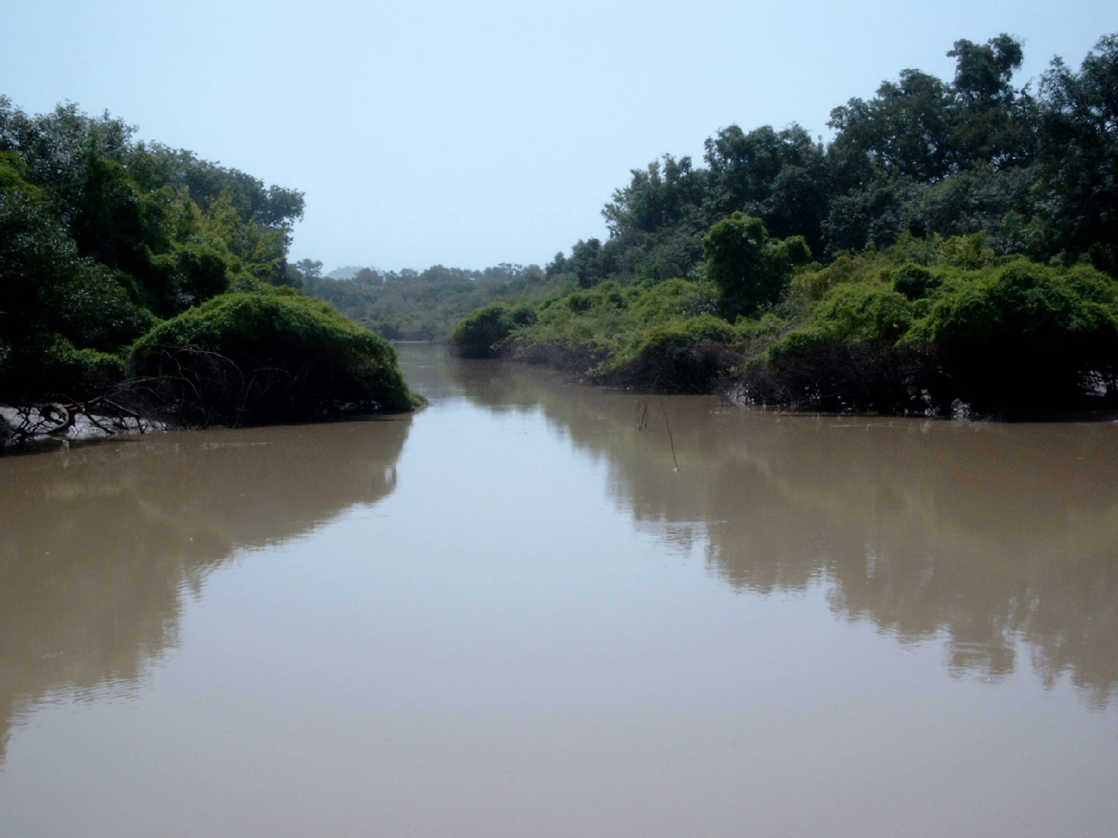
A wide, calm, muddy-brown river flows through a dense forest with lush green trees lining both banks under a clear sky.
The Arli River flowing through the dense vegetation of Arli National Park.

Complexe W-Arly-Pendjari wildlife and species highlights

The WAP Complex is most renowned for its populations of large mammals, which continue to define the region's conservation significance. Elephants, lions, and West African buffalo roam across the connected parks, with the relatively undisturbed expanses of savanna and woodland providing some of the most important remaining habitat for these species in West Africa. The area has historically been considered a key stronghold for West African lions and a vital refuge for elephants whose broader range has contracted sharply in recent decades.

Beyond the iconic megafauna, the complex supports important populations of other savanna mammals including various antelope species, warthogs, baboons, and smaller carnivores, all of which depend on the continuity of habitat across the transboundary landscape. The gallery forests and riverine strips along the Pendjari, Mekrou, and Arly rivers concentrate wildlife activity during the dry months, creating corridors of high biodiversity value within the broader dryland matrix.

Birdlife is equally significant across the WAP Complex, with Sudano-Sahelian and Afro-tropical species using the mosaic of woodland, grassland, and riverine habitats. The combination of resident bird communities and intra-African migrants reinforces the complex's importance as a year-round wildlife area, even as security challenges in recent years have placed considerable new pressure on animal populations and the monitoring systems that track them.

Complexe W-Arly-Pendjari conservation status and protection priorities

From a conservation standpoint, the Complexe W-Arly-Pendjari occupies a position of exceptional regional and global importance. Its inscription as a UNESCO World Heritage Site in 1996 and extension in 2017 reflect international recognition of the area's outstanding ecological value under natural criteria (ix) and (x), which address ecological processes and biodiversity respectively. The complex is widely regarded as one of the last significant strongholds of savanna wildlife in West Africa, particularly for elephants and lions, whose continued persistence in the region depends heavily on the integrity of transboundary habitats.

The 2020 designation of a transboundary UNESCO Biosphere Reserve marked a major evolution in conservation thinking around the complex, formally extending protection frameworks beyond the strict national park boundaries to include surrounding inhabited landscapes. Covering more than 94,000 square kilometers and home to around four million people, this biosphere reserve recognizes that the long-term survival of the park's wildlife depends on the sustainability of land use and resource management across a much wider area, requiring coordinated action across three countries.

At the same time, the conservation significance of the WAP Complex is increasingly under threat. Since around 2018, armed extremist activity across the wider region has turned portions of the complex into a logistical base for poaching, illegal gold mining, smuggling, and other destabilizing activities. These pressures have undermined park management, reduced accessibility, and contributed to measurable wildlife declines, notably an estimated halving of the elephant population between 2015 and 2021, making the security and governance of the broader landscape one of the defining conservation challenges of the complex today.

Complexe W-Arly-Pendjari cultural meaning and human context

The cultural context of the WAP Complex is closely tied to the deep historical relationship between local communities and the Sudano-Sahelian landscapes of Benin, Burkina Faso, and Niger. The national parks that make up the core of the complex were established on lands historically used and inhabited by rural communities, and the broader transboundary biosphere reserve explicitly includes areas where around four million people live.

Local livelihoods across the region traditionally depend on agriculture, pastoralism, fishing along the seasonal rivers, and other natural-resource-based activities that interact directly with the park landscapes. The transboundary approach to the complex reflects an understanding that conservation outcomes depend on the relationships between protected areas and the surrounding cultural and economic systems, rather than on strict separation.

The shared cultural heritage of the three countries involved, along with the cross-border movements of pastoralists and traders, also reinforces why transboundary cooperation is essential for managing the area. The designation of the WAP Biosphere Reserve in 2020 formally acknowledged these human dimensions, embedding them within the conservation framework itself.

Top sights and standout views in Complexe W-Arly-Pendjari

The defining highlights of the Complexe W-Arly-Pendjari include its status as a UNESCO World Heritage Site covering nearly 1.5 million hectares across three countries, its role as a transboundary UNESCO Biosphere Reserve of over 94,000 square kilometers, and its position as one of the most important remaining strongholds for elephants and lions in West Africa.

The connected landscapes of the W, Pendjari, and Arly national parks together form a continuous Sudano-Sahelian conservation corridor, linking national parks across Benin, Burkina Faso, and Niger. This transboundary integration is itself a highlight, demonstrating how cooperative management can sustain wildlife populations and ecological processes across political borders in a part of the world where cross-border conservation has become increasingly difficult.

Best time to visit Complexe W-Arly-Pendjari

Given the Sudano-Sahelian climate of the region, the character of a visit to the WAP Complex shifts significantly between the dry and wet seasons. The dry season, generally running from roughly November through April, tends to offer more accessible road conditions and concentrates wildlife around remaining water sources, particularly along the Pendjari, Mekrou, and Arly river systems, which can enhance opportunities to see large mammals.

The wet season, from roughly May to October, brings greener landscapes, more dispersed wildlife, and sometimes challenging access conditions due to heavy seasonal rains. Many bird species are also more active during transitions between these seasons, and seasonal differences in vegetation and water availability strongly influence both the scenery and the types of wildlife sightings visitors can expect. Travelers should also be aware that security conditions across the wider region have affected accessibility in recent years, making current local guidance essential before planning any visit.
Monthly climate preview

Long-term representative temperature and precipitation patterns across twelve months

Complexe W-Arly-Pendjari Climate Normals and Annual Weather Rhythm

Historical data records distinct shifts in average monthly temperatures and precipitation rates at a representative coordinate within Complexe W-Arly-Pendjari. Examining the complete twelve-month climate profile reveals comprehensive statistical breakdowns for long-term planning and environmental analysis.
Annual mean28 °C
25 °C32 °C
Jan25°
Feb28°
Mar31°
Apr32°
May31°
Jun29°
Jul27°
Aug26°
Sep26°
Oct27°
Nov27°
Dec25°
Warmest month
April

32.4 °C

Coolest month
December

24.7 °C

Wettest month
August

7.4 mm/day

Driest month
December

0 mm/day

Park location guide

Geography guide, regional context, and park location map for Complexe W-Arly-Pendjari

Complexe W-Arly-Pendjari park geography, regions, and map view in Benin

Understand where Complexe W-Arly-Pendjari sits in Benin through a broader geographic reading of the surrounding landscape, nearby location context, and its mapped position within the national park landscape.

How Complexe W-Arly-Pendjari fits into Benin

Benin is a West African nation formerly known as Dahomey. It gained independence from France in 1960 and operates as a unitary presidential republic. The country is known for its coastal location along the Bight of Benin, its historical kingdom of Dahomey, and its agricultural economy centered on palm oil and cotton exports.

Wider geography shaping Complexe W-Arly-Pendjari in Benin

Benin is located in West Africa, bordered by Togo to the west, Nigeria to the east, Burkina Faso to the northwest, and Niger to the northeast. The country occupies the southern coastline of the Bight of Benin, which is part of the Gulf of Guinea in the northernmost tropical portion of the Atlantic Ocean. The terrain ranges from coastal plains to hilly uplands in the north.

Map view of Complexe W-Arly-Pendjari

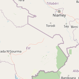
Use this park location map to pinpoint Complexe W-Arly-Pendjari in Benin, understand its exact geographic position, and read its mapped placement within the surrounding landscape more clearly.

Pigeon | © OpenStreetMap contributors

Visual reference of Sudano-Sahelian savannas, river valleys, and escarpments

Complexe W-Arly-Pendjari Photos and Protected Landscape Scenery

Visual records capture the distinctive terrain, gallery forests, and open grasslands that define the transboundary conservation corridor. Reviewing protected-area imagery helps observers understand the varied habitats and topography stretching across the regional ecosystem.

Four African elephants standing and resting in a shallow, muddy riverbank with green trees and brush in the background.

Four African elephants splashing and wading in muddy river water, with one elephant in the foreground lifting its trunk.

A rocky, craggy hillside rises above a wooded savanna landscape with scattered trees and shrubs under a hazy sky.

A wide, calm, muddy-brown river flows through a dense forest with lush green trees lining both banks under a clear sky.

Park atlas

Compare adjacent transboundary habitats and surrounding Sudano-Sahelian conservation zones

Exploring Parks Near Complexe W-Arly-Pendjari and Regional Protected Areas

Browse other protected areas and national parks situated within the wider regional geography surrounding Complexe W-Arly-Pendjari. Comparing these connected savanna landscapes and river corridors provides essential context for regional wildlife conservation.
National parkBenin
About 11 km away#1 closest

South

Parc national du W du Benin: Regional Geography and Protected Savanna Landscapes

Northern Benin flagship protected area and transboundary conservation hub.

Located in northern Benin, Parc national du W du Benin provides a unique window into the Sudano-Sahelian zone. The park features a mosaic of riverine gallery forests along the Mékrou and Alibori rivers, stretching across open Sudanian savannas to meet the rugged edges of the Atacora mountains. This protected area stands as a central pillar in the WAP complex, offering a clear map of interconnected wildlife habitats and significant ecological corridors in West Africa.

Area
5,632.8 km²
Established
1950
IUCN
II
Relief
Upland
National parkNiger
About 12 km away#2 closest

North

W National Park: Niger National Park, UNESCO World Heritage Site & Ramsar Wetland

Transborder savanna ecosystem and dramatic Niger River landscape.

W National Park in Niger offers a unique atlas view of a vast protected landscape defined by the Niger River's iconic W-shaped bend. As a UNESCO World Heritage Site and Ramsar Wetland, it protects crucial savanna plains, extensive floodplains, and rocky outcrops. This transborder conservation area is a vital habitat for West African wildlife, providing a rich context for geographic discovery and landscape exploration.

Area
10,000 km²
Established
1954
IUCN
II
Relief
Mixed relief
National parkBenin
About 42 km away#3 closest

Southwest

Pendjari National Park: Mapping Benin's Primary Protected Savanna Ecosystem and Wilderness

Located in northwestern Benin, bordering the WAP transboundary complex.

Pendjari National Park represents a significant conservation landscape in West Africa, featuring a complex geography of river-fed riparian forests, sprawling savanna plains, and the high-elevation cliffs of the Atakora mountain range. This protected area offers a look into an intact savanna wilderness, serving as a vital sanctuary for large mammals and diverse bird species within its clearly defined boundaries.

Area
2,755 km²
IUCN
II
Relief
Highland
Climate
Subtropical
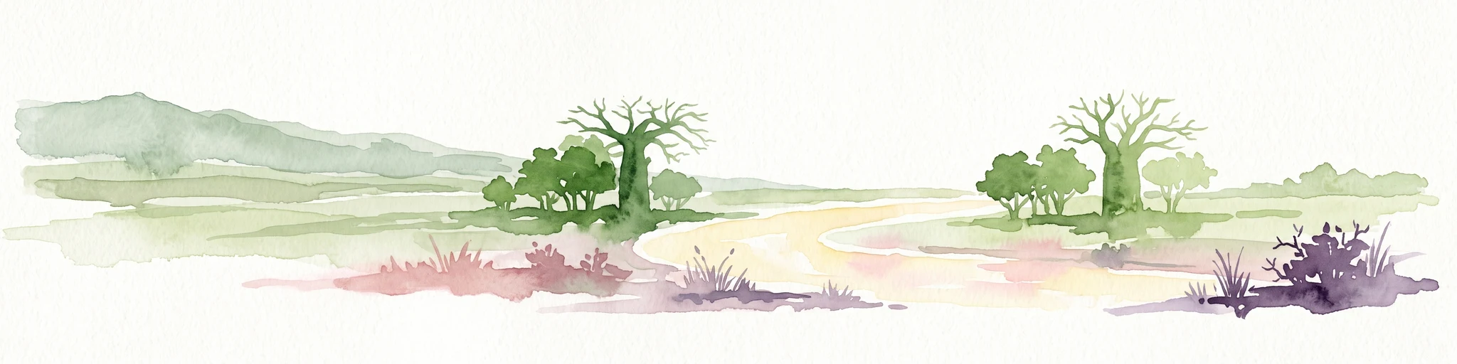
A watercolor painting showing a wide, panoramic landscape featuring dry, open terrain, low rolling hills in the background, and sparse vegetation, including distinctive baobab trees.
National parkAtacora Department
About 42 km away#4 closest

West

Parc national de la Pendjari: Geographic Atlas and Protected Area Overview in Atacora Department

Savanna plains and quartzite mountain ridges in West Africa

Parc national de la Pendjari represents an ecologically vital protected landscape in the Atacora Department of Benin. This atlas overview details its complex geography, ranging from the flat sandstone peneplain to the permanent waters of the Pendjari River. Learn how these boundaries support one of the most significant contiguous savanna ecosystems in West Africa, featuring diverse habitats from gallery forests to open woodlands.

Area
4,700 km²
Established
1961
IUCN
II
Visitors
7K annual
National parkTapoa Province
About 90 km away#5 closest

West

Arli National Park National Park: Mapped Protected Landscape in Tapoa Province

Explore its geographic context and boundaries.

Arli National Park stands as a critical protected area, identified as a national park within Tapoa Province. This detail page serves as an atlas-focused entry point to understanding the park's unique landscape characteristics and its precise geographic location. Users can investigate its mapped boundaries and explore how it fits into the regional geography, offering a foundational understanding for protected-area discovery.

Area
760 km²
Established
1954
IUCN
IV
Relief
Upland
Protected areaDosso
About 111 km away#6 closest

Northeast

Feuchtgebiet am mittleren Niger: Protected Wetland Geography and River Floodplain Atlas

Geographic overview of floodplain terrain in Dosso, Niger

Feuchtgebiet am mittleren Niger preserves a vital mosaic of riverine channels, temporary ponds, and floodplain flats. This protected area stands as a distinctive aquatic corridor within the Sahel, characterized by diverse water-based habitats and seasonal vegetation shifts that define the regional geography of Dosso.

Area
521.8 km²
Established
2001
Relief
Lowland
Scope
Terrestrial
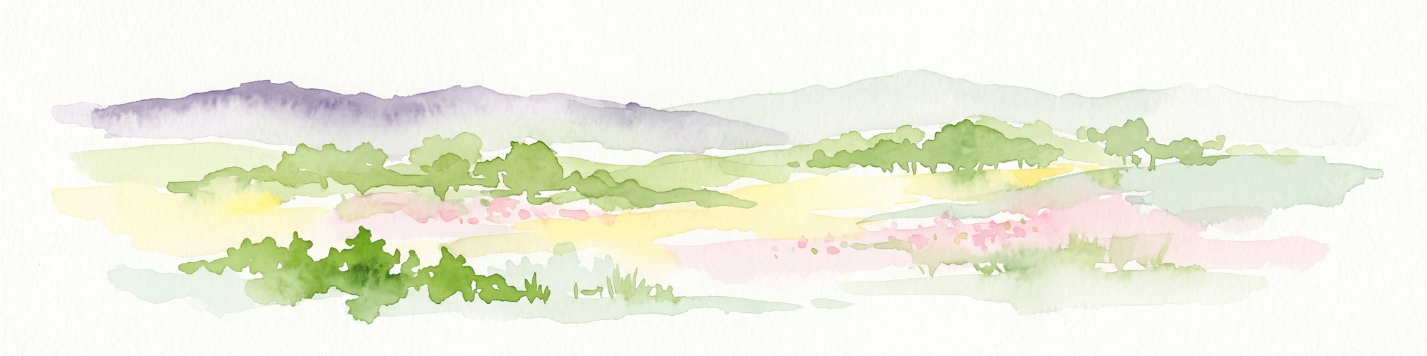
A soft, light watercolor painting of a valley landscape with rolling green hills, distant purplish mountains, and patches of pink, yellow, and green vegetation.
Wildlife reserveNiger
About 113 km away#7 closest

Northeast

Dallol Bosso Wildlife Reserve: Geographic Atlas and Protected Landscape Context in Niger

A 350-kilometer seasonal wetland corridor and regional hydrologic system

Dallol Bosso stands as a major seasonal drainage corridor in western Niger. This wildlife reserve spans from the Malian border to the Niger River, offering a distinct study in Sahelian hydrology. Its alluvial soils and wetland characteristics support specific agricultural patterns, making it a focal point for understanding the human and natural geography of the Boboye region.

Area
8,921.22 km²
Established
2004
Relief
Lowland
Climate
Subtropical
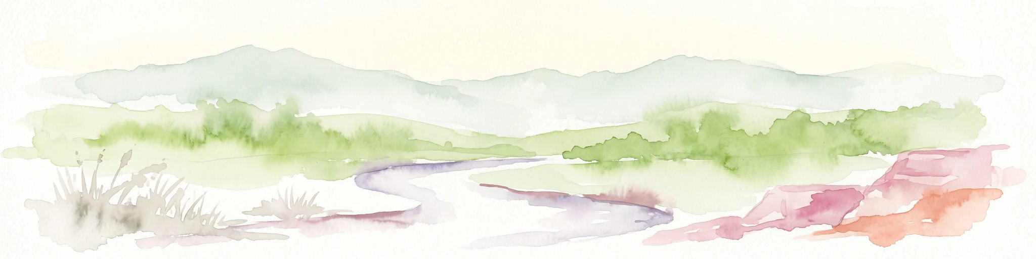
A soft watercolor painting of a winding river flowing through a green woodland savanna with hills in the background.
Protected areaAlibori
About 117 km away#8 closest

Southeast

Forêt classée de la Sota: Exploring Protected Woodlands in the Alibori Department

A historic Sudano-Sahelian savanna and riverine ecosystem

Forêt classée de la Sota stands as a critical protected woodland in northeastern Benin. This expansive 53,000 hectare reserve protects unique Sudano-Sahelian terrain defined by the Sota River basin, supporting a diverse range of savanna wildlife and complex riparian habitats across the Alibori region.

Area
530 km²
Established
1947
Relief
Lowland
Climate
Tropical

Common questions about visiting, size, designation, and location context for Complexe W-Arly-Pendjari

Complexe W-Arly-Pendjari FAQs for park facts, access, geography, and protected area context

Find quick answers about Complexe W-Arly-Pendjari, including protected-area facts, park geography, trail and visitor context, and how the park fits into its surrounding country and regional landscape.
MoriAtlas Explorer

Continue Your Protected Areas Search Across the Global Atlas

Deepen your exploration by continuing the structured search for national parks and protected areas worldwide. Utilize the comprehensive filtering capabilities to compare different conservation landscapes and refine your understanding of global park geography. Discover more about the distribution and characteristics of protected natural areas.

Global natural geography