
Mori Atlas logo
Park guides

Seasonal context for lagoon wetlands, dunes, birds, and ocean coast

Coorong National Park visitor timing guide for South Australia’s seasons

Use the available Coorong National Park guides for South Australia's coastal lagoon, Younghusband Peninsula, dunes, wetlands, and ocean beach. The timing guide compares mild conditions and peak migratory bird activity from late autumn through spring with the heat and wind extremes common during summer.

Related tags

coastal lagoonwetlandsmigratory birdsImportant Bird AreaAustralian national parks

Coastal lagoon wilderness and longest beach in Australia

Coorong National Park

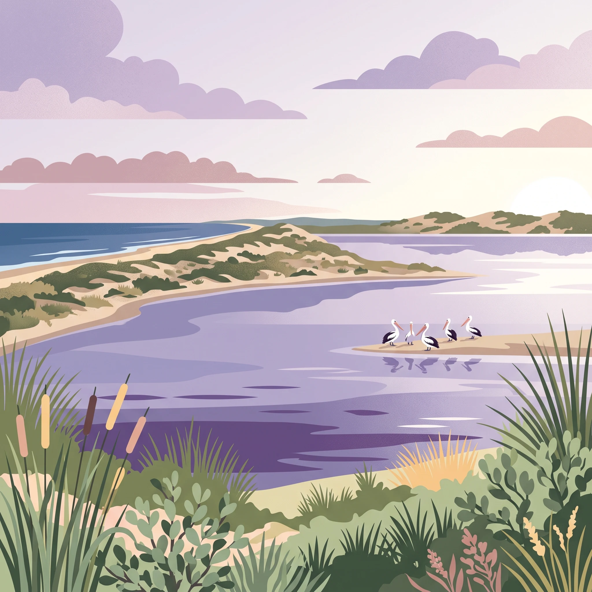
Coorong National Park protects one of South Australia's most ecologically significant coastal environments, encompassing both the linear lagoon system known as The Coorong and the narrow Younghusband Peninsula that forms a natural barrier between the lagoon and the Southern Ocean. The western end of the lagoon system begins at the Murray Mouth near Hindmarsh Island and extends approximately 130 kilometres southeastward, varying in width from just a few hundred metres to several kilometres. The park's establishment in 1967 was driven by the need to protect the extraordinary birdlife and unique wetland habitats that characterize this coastal environment. The Coorong has been hydrologically altered since the construction of the Goolwa Barrages in the late 1930s, which cut off the lagoon from Lake Alexandrina and fundamentally changed the flow patterns that once connected the Murray River system to this coastal wetland. Despite these modifications, the Coorong remains a vital refuge for wildlife, particularly during drought periods when inland waterways dry up and birds and other animals concentrate in the remaining wet areas. The park provides sanctuary for both resident species and migratory birds that travel the East Asian Australasian flyway, making it internationally significant for waterbird conservation.

Location
Australia
Park type
National park
Established
1967
Area
490.2 km²
Coorong National Park South Australia Atlas
MoriAtlas Explorer

Continue Exploring Coorong National Park's Geographic and Protected Landscape Identity

Deepen your understanding of Coorong National Park by examining its specific terrain and protected landscape attributes. This destination offers valuable insights into the geographic configuration of South Australia's conservation areas, providing a focused atlas perspective on its natural boundaries and regional context. Continue to map and compare its unique environmental features within the broader Australian protected lands.