
Mori Atlas logo
Nature reserveDie kleine Qualle von Hergershausen

Examining the ecological boundaries and terrain of this vital Hessen wetland sanctuary

Die kleine Qualle von Hergershausen Nature Reserve: A Protected Floodplain Landscape in Hessen

(Naturschutzgebiet „Die kleine Qualle von Hergershausen“)

Die kleine Qualle von Hergershausen is a significant nature reserve located within the Gersprenz floodplain in southern Hessen, Germany. This protected landscape preserves rare remnants of wet meadow habitat that serve as a critical refuge for meadow breeding birds and migratory species. Through river renaturation and integration into broader conservation networks, this site remains a defined green island within a heavily cultivated lowland plain.

wetlandfloodplain meadowmeadow breeding birdsNatura 2000birdwatchingHergershäuser Wiesen
Digital vector-style illustration of a green meadow with a river flowing from a waterfall cascading off a cliff under a pale sky, with mountains in the background and wildflowers in the foreground.

Die kleine Qualle von Hergershausen

Nature reserve

Park overview

Structured park overview, official facts, and landscape profile for Die kleine Qualle von Hergershausen

Die kleine Qualle von Hergershausen park facts, protected area profile, and essential visitor context

Review the core facts for Die kleine Qualle von Hergershausen, including designation, size, terrain, visitor scale, habitats, and operating context in one park-focused overview.

About Die kleine Qualle von Hergershausen

Die kleine Qualle von Hergershausen is a designated nature reserve (Naturschutzgebiet) in the Gersprenz river floodplain, a lowland tributary of the Main that drains the southern edge of the Untermainebene natural region. Located in the Darmstadt-Dieburg district of Hesse, the reserve occupies a transitional zone between agricultural lowlands and the broader Hergershäuser Wiesen meadow landscape that once extended across the entire floodplain. Although the area is now remarkably small, its protected status reflects an unusual ecological history in which progressive drainage had reduced what was once a continuous wetland complex to scattered fragments before conservation measures were introduced.

The defining landscape of the reserve is open, low-lying wet meadow. The terrain is flat to gently undulating, with soils kept moist by proximity to the river and historically by high groundwater levels. The original floodplain supported extensive meadows used traditionally for hay production and livestock grazing, a landscape that supported a rich community of meadow-breeding birds and seasonal visitors. Such meadows are now extremely rare in this part of Germany, and the protection of this site represents an effort to retain at least a representative fragment of the historical landscape.

Ecologically, the reserve is a refuge for grassland and wetland-dependent species in an otherwise heavily modified landscape. The site is integrated into a network of progressively connected protected areas, including the adjacent “Auf dem Sand zwischen Hergershausen und Altheim” reserve designated in 1998, and the broader Natura 2000 complex that includes a renaturalized stretch of the Gersprenz river. The site continues to function as habitat, feeding area, and passage zone for resident and migratory birds, and its management seeks to preserve the delicate hydrological and vegetation conditions that sustain this role.

Quick facts and research context for Die kleine Qualle von Hergershausen

Die kleine Qualle von Hergershausen is a small nature reserve of approximately 27 hectares in the Gersprenz floodplain, a tributary of the Main, in the Darmstadt-Dieburg district of southern Hesse. It was formally designated on 13 December 1984 and is classified under IUCN Category IV as a Habitat/Species Management Area. The site is embedded within the larger Hergershäuser Wiesen meadow complex and now forms part of the Natura 2000 sites “Untere Gersprenz” (FFH area 6019-303) and “Untere Gersprenzaue” (EU Bird Directive SPA 6119-401).

Protection and recognition

Review documented protection status and official international recognition records.

Die kleine Qualle von Hergershausen Protection Status and Protected Area Designation

Comprehensive protected area records compile the formal conservation parameters and designation history for Die kleine Qualle von Hergershausen. Verified database metrics supply structured insight into regulatory frameworks and administrative boundaries without speculation.

Protection details

WDPA ID
162741
Park context

Deeper park guide and search-rich context for Die kleine Qualle von Hergershausen

Die kleine Qualle von Hergershausen history, landscape, wildlife, and travel context

Explore Die kleine Qualle von Hergershausen through its history, landscape character, ecosystems, wildlife, conservation priorities, cultural context, and seasonal travel timing in a structured park guide built for atlas discovery and search intent.

Why Die kleine Qualle von Hergershausen stands out

The reserve is best known for preserving one of the last remaining remnants of floodplain meadow in the Lower Main plain, providing a vital refuge for meadow-breeding and migratory bird species. It historically supported the last known breeding site of the Eurasian curlew in the Darmstadt-Dieburg district and remains an important feeding and stopover area for waterbirds and meadow specialists. The combination of small-scale habitat preservation, river renaturation, and integration into the European Natura 2000 network gives the site a significance far greater than its modest size would suggest.
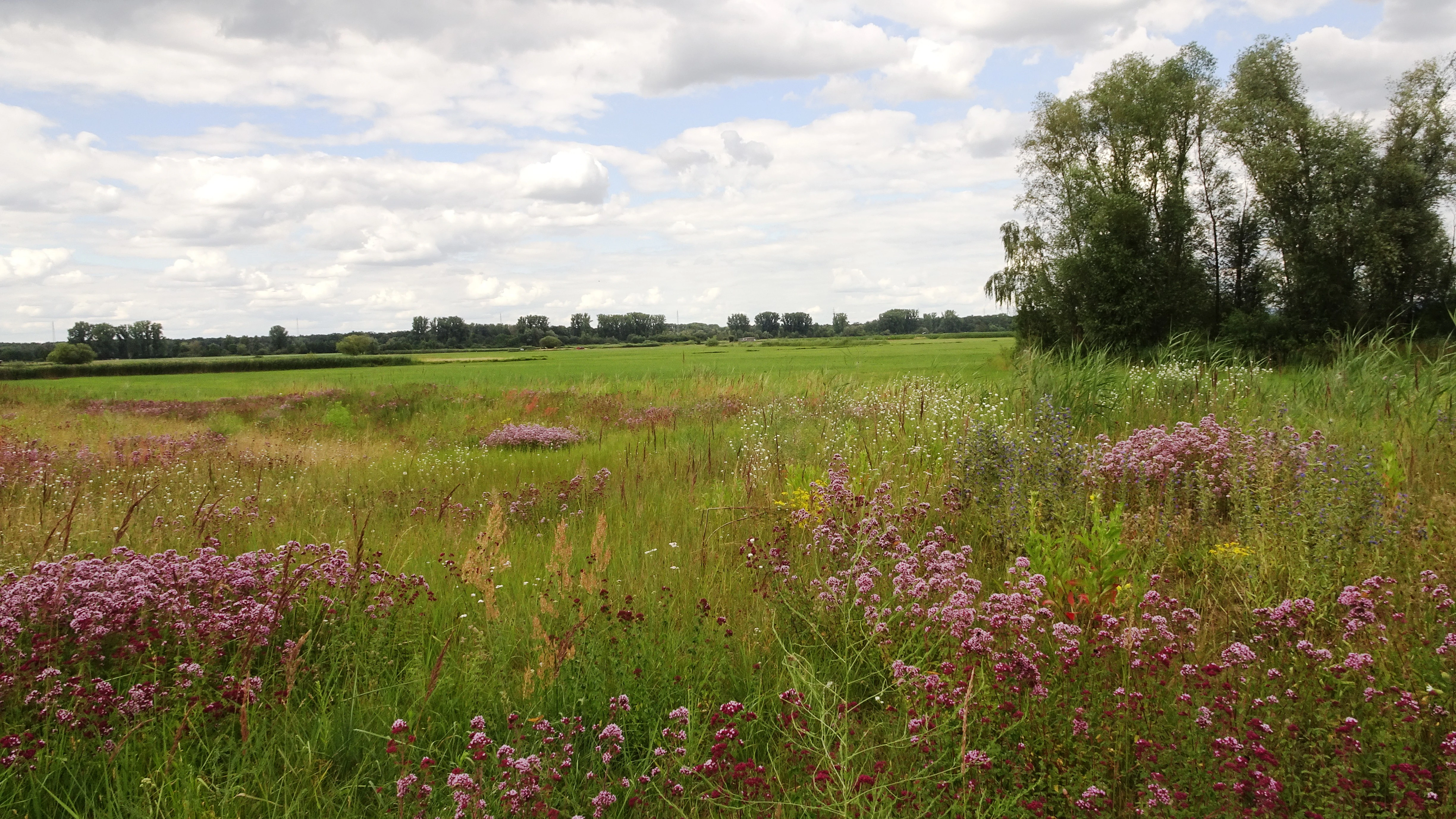
A wide outdoor shot of a green, grassy meadow with wildflowers in the foreground and a line of trees in the distance under a cloudy sky.
A view of the lowland meadows in the Die kleine Qualle von Hergershausen nature reserve.

Die kleine Qualle von Hergershausen history and protected-area timeline

The landscape that Die kleine Qualle von Hergershausen now protects has undergone dramatic transformation over the twentieth century. In earlier centuries, the Gersprenz floodplain between Hergershausen and Münster supported a continuous expanse of wet meadows, but this habitat was progressively destroyed by human intervention. Canalization of the Gersprenz in 1940, followed by extensive drainage and ditch deepening in the 1950s, together with groundwater lowering caused by drinking-water abstraction, converted much of the floodplain into what sources describe as an agricultural steppe.

By 1970, only about 170 hectares of meadow survived in the wider area, and by 1984 the 27 hectares that make up the area of Die kleine Qualle were the last remaining meadow fragment between Hergershausen and Münster. The reserve was formally designated on 13 December 1984 as the first protected area in the Hergershäuser Wiesen. The urgency of protection was driven by the presence of threatened meadow-breeding birds, including the Eurasian curlew, which maintained its last known breeding site in the district within this exact area.

Since designation, conservation efforts have expanded and matured. In 1998, the adjacent reserve “Auf dem Sand zwischen Hergershausen und Altheim” was added to extend protection along the floodplain. The Gersprenz itself was later renaturalized in the area of the Hergershäuser Wiesen, restoring hydrological conditions that benefit meadow habitat. From 2008, and revised in 2016, both reserves were incorporated into a broader Natura 2000 framework as part of the “Untere Gersprenz” FFH site and the “Untere Gersprenzaue” EU Bird Directive Special Protection Area, recognizing their regional and European significance.

Die kleine Qualle von Hergershausen landscape and geographic character

The landscape of Die kleine Qualle von Hergershausen is a lowland floodplain, part of the Untermainebene natural region's Gersprenzniederung. The terrain is flat and lies close to the bed of the Gersprenz river, which historically supported elevated groundwater and periodic flooding that maintained wet grassland conditions. Surrounding land use is predominantly agricultural, and the reserve remains a distinct green island within a heavily cultivated plain.

The reserve itself is open meadowland rather than forest, with views across wide, low-lying fields interrupted only by shallow ditches, scattered shrubs, and watercourses. A notable adjacent feature visible across the protected meadows is the inland dune (Binnendüne) within the neighboring “Auf dem Sand” reserve, a sandy elevation that contrasts strongly with the otherwise flat wet-grassland environment and offers long vistas across the broader Hergershäuser Wiesen.
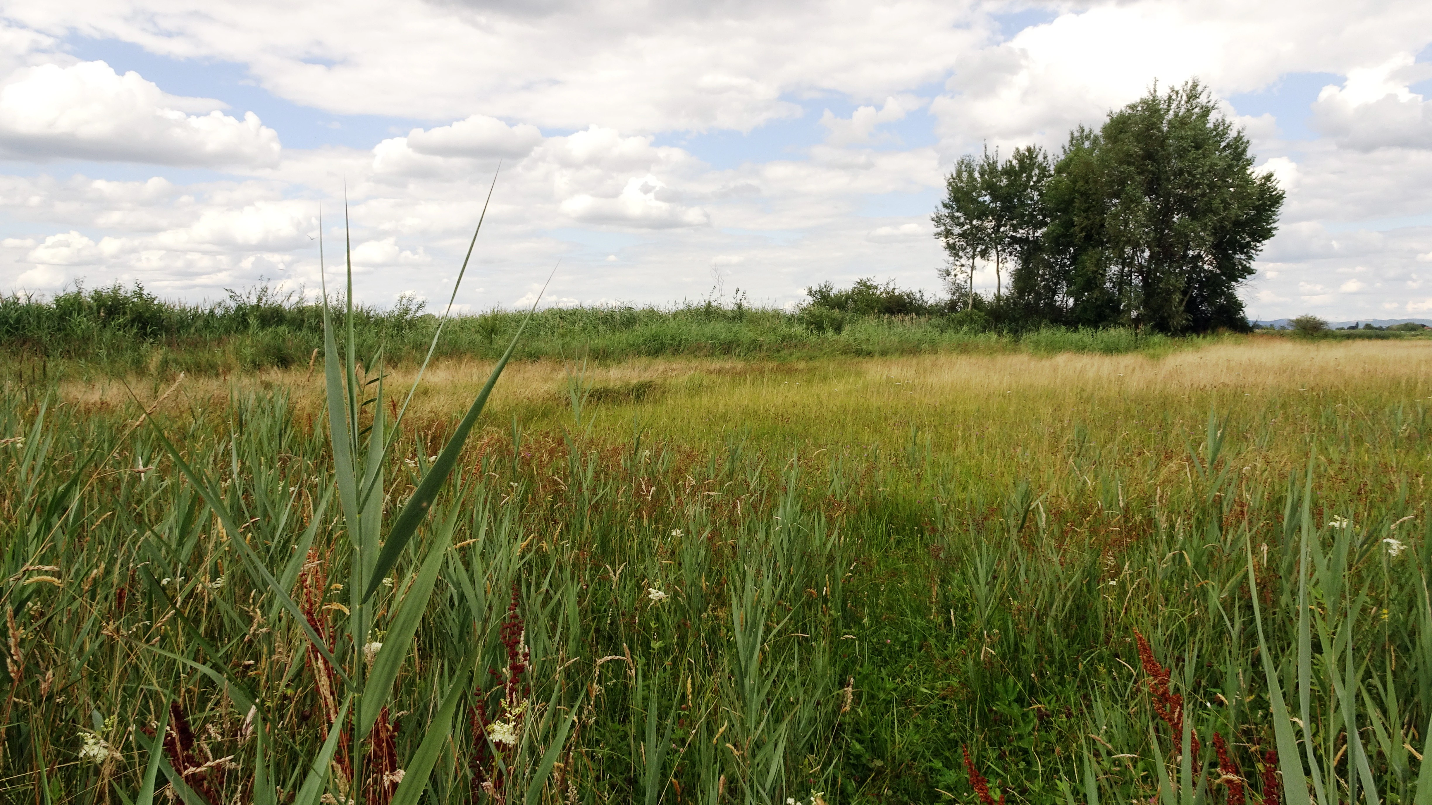
A wide, flat lowland meadow with tall grasses, reeds, and a small cluster of trees under a cloudy sky.
Lowland meadow landscape in the Die kleine Qualle von Hergershausen nature reserve.

Die kleine Qualle von Hergershausen ecosystems, habitats, and plant life

The nature of Die kleine Qualle von Hergershausen is defined by its habitat type: a remnant of traditional floodplain meadow, an ecosystem that is vanishingly rare in the modern Lower Main plain. The wet grassland supports moisture-dependent plant communities and invertebrates that depend on undisturbed meadow conditions, and the hydrological regime, which keeps soils saturated for much of the year, is essential for maintaining the habitat's character.

Beyond the meadow itself, the reserve is ecologically connected to neighboring protected areas and to the renaturalized section of the Gersprenz. This broader mosaic provides transitional habitats including reed edges, ditches, and adjacent sandy areas such as those in the inland dune reserve. Together, these form a more diverse ecological network than the small reserve would suggest, supporting a community of species tied to open wet grassland, riverine edges, and sandy open ground.
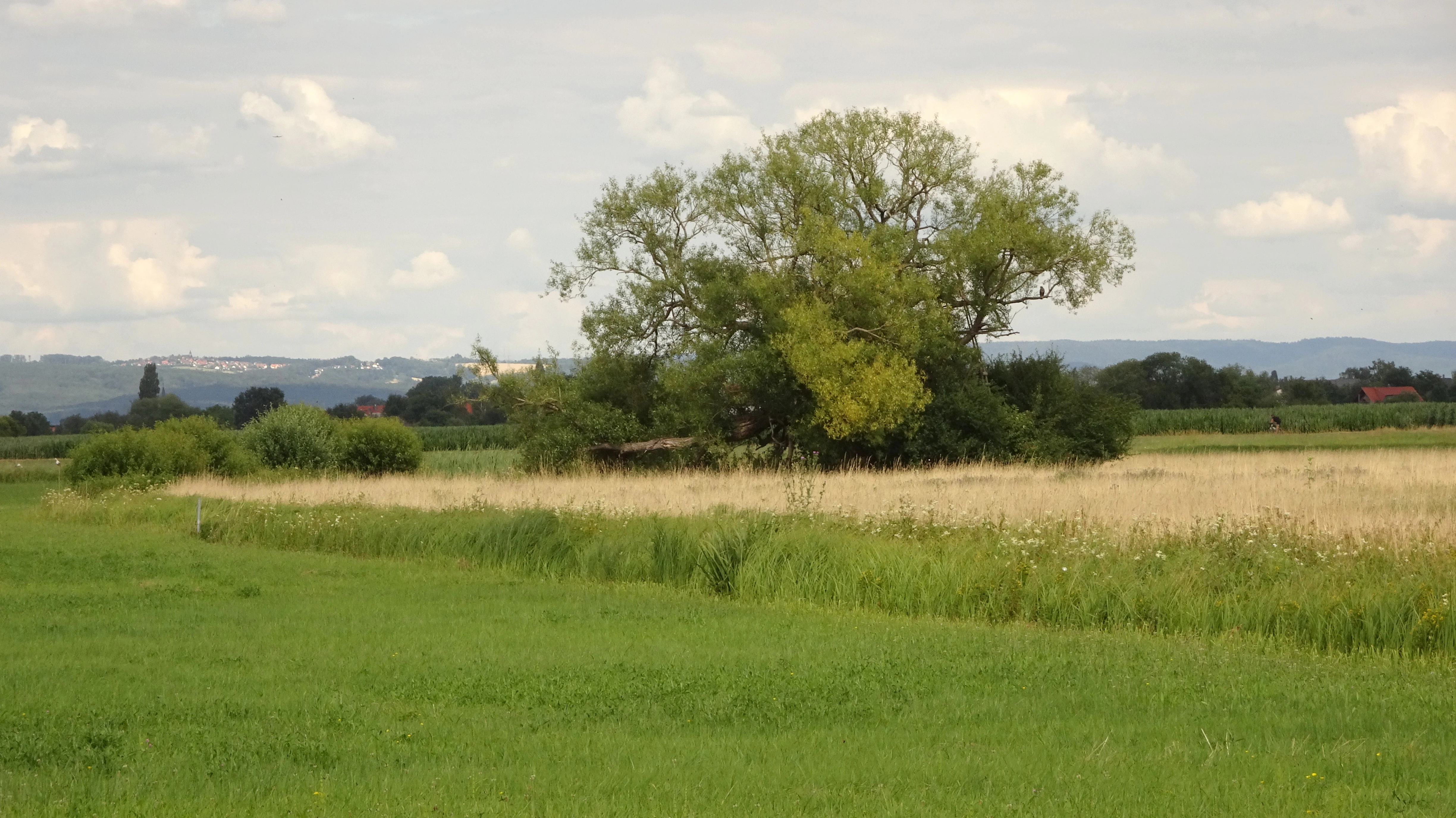
A wide landscape view of open green and golden grassy fields, with a large solitary tree in the middle ground under a cloudy sky.
A view of the lowland meadows in the Die kleine Qualle von Hergershausen nature reserve.

Die kleine Qualle von Hergershausen wildlife and species highlights

Wildlife is the most distinctive feature of the reserve. The site has particular importance for meadow-breeding birds, and historically harbored the last breeding site of the Eurasian curlew in the Darmstadt-Dieburg district. Other meadow-breeding species of conservation concern recorded as breeding in or near the reserve include the corncrake, lapwing, snipe, meadow pipit, yellow wagtail, whinchat, and corn bunting, all species associated with open wet grassland and listed on the German Red List.

Beyond breeding birds, Die kleine Qualle serves as a feeding area and stopover site for many additional species throughout the year. The open meadows attract grazing waterfowl and seasonal visitors, and the broader Hergershäuser Wiesen, including neighboring sand and river habitats, host flocks such as greylag geese that use the meadows in large numbers. The combination of grassland, the nearby inland dune, the renaturalized Gersprenz, and surrounding wet and dry mosaic habitats results in an unusually rich bird fauna for such a small protected area.
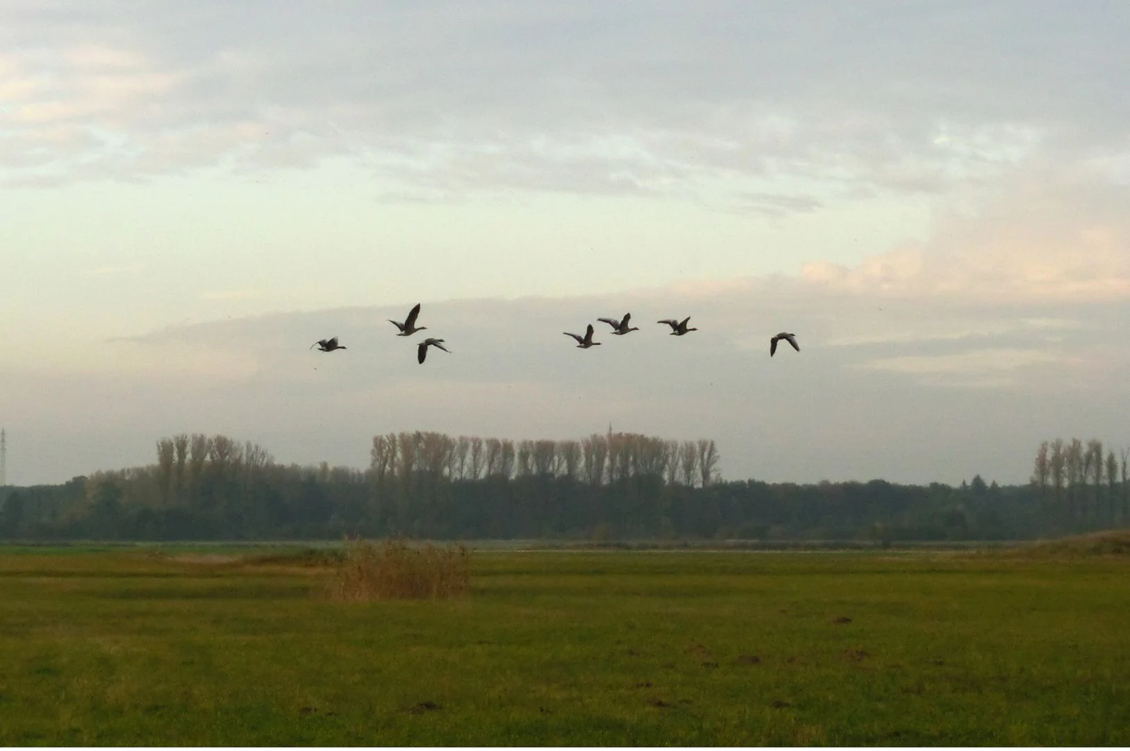
A group of six geese flying across the sky above a flat, grassy landscape with a line of trees in the distance.
A small flock of geese flying over the meadows of the Hergershaeuser Wiesen nature reserve.

Die kleine Qualle von Hergershausen conservation status and protection priorities

Die kleine Qualle von Hergershausen is protected primarily for its function as a refuge for threatened wet-meadow ecosystems and the bird communities that depend on them. Its designation in 1984 marked the first formal recognition that the last remaining fragments of floodplain meadow in the area required active protection. Conservation management focuses on maintaining the open, moist meadow character that supports the site fauna, which in turn depends on retaining appropriate hydrological conditions and preventing further agricultural intensification.

The reserve's conservation significance has grown through successive layers of protection. Integration into the Natura 2000 network, after the river renaturation, has placed the site within a larger framework that addresses not only the meadows themselves but also the hydrology and connectivity of the surrounding floodplain. This development has converted the reserve from an isolated fragment into a core element of a functioning conservation landscape, demonstrating the importance of multi-level protection for small but ecologically critical sites.

Die kleine Qualle von Hergershausen cultural meaning and human context

Although the reserve's identity is overwhelmingly natural, its landscape carries a strong cultural-ecological dimension. The meadows of the Hergershäuser Wiesen were historically shaped by traditional low-intensity agricultural use, including hay-making and grazing, practices that created and maintained the open wet-grassland habitat over centuries. The dramatic loss of this habitat through modern drainage and intensification represents not only an ecological change but also a cultural transformation of the rural landscape. A county-run BioTopTour interprets this landscape to visitors through a 5.5 km walking route and a 12 km cycling route, linking biodiversity conservation with regional cultural heritage.

Top sights and standout views in Die kleine Qualle von Hergershausen

Die kleine Qualle von Hergershausen is a small reserve whose significance far exceeds its modest size, owing to its role as a surviving fragment of a once-extensive floodplain meadow landscape. It is one of the first protected areas in the Hergershäuser Wiesen, established as an emergency refuge for threatened meadow-breeding birds including the curlew. The reserve's integration into the Natura 2000 network, together with the renaturalization of the Gersprenz, has lifted its profile from a local protection site to a part of the European conservation framework.

Best time to visit Die kleine Qualle von Hergershausen

Spring and early summer are the most rewarding seasons to experience the reserve, when wet-meadow vegetation is at its richest and the breeding activity of characteristic meadow birds, such as lapwings, snipe, and whinchats, is most visible. Late summer and autumn bring migrating species into the broader Hergershäuser Wiesen, while winter typically offers quieter landscapes with concentrations of waterfowl such as greylag geese on the open meadows. Visitors should choose dry weather periods to access the trails comfortably, as the wet-meadow environment retains moisture throughout much of the year.

Monthly climate preview

Long-term representative point measurements tracking monthly temperature and precipitation variation

Die kleine Qualle von Hergershausen Climate Normals and Annual Temperature Rhythm

Historical data records measured monthly temperature and precipitation values across a representative coordinate in Die kleine Qualle von Hergershausen. Analyzing the full twelve-month climate profile reveals comprehensive long-term averages for regional temperature ranges and precipitation patterns.
Annual mean10 °C
0 °C21 °C
Jan
Feb
Mar
Apr10°
May14°
Jun18°
Jul21°
Aug20°
Sep15°
Oct10°
Nov
Dec
Warmest month
July

20.6 °C

Coolest month
January

0.2 °C

Wettest month
July

2.2 mm/day

Driest month
April

1.4 mm/day

Park location guide

Geography guide, regional context, and park location map for Die kleine Qualle von Hergershausen

Die kleine Qualle von Hergershausen park geography, regions, and map view in Germany

Understand where Die kleine Qualle von Hergershausen sits in Germany through a broader geographic reading of the surrounding landscape, nearby location context, and its mapped position within the national park landscape.

How Die kleine Qualle von Hergershausen fits into Germany

Germany is a federal republic in Western and Central Europe with a population of over 83 million across sixteen constituent states. It is Europe's largest economy by nominal GDP and a major global exporter and importer. The capital is Berlin, and the country borders Denmark, Poland, Czech Republic, Austria, Switzerland, France, Luxembourg, Belgium, and the Netherlands.

Wider geography shaping Die kleine Qualle von Hergershausen in Germany

Germany is located in Western and Central Europe, spanning 357,022 km². It borders Denmark to the north, Poland and the Czech Republic to the east, Austria and Switzerland to the south, and France, Luxembourg, Belgium, and the Netherlands to the west. The country has coastlines on the Baltic Sea and North Sea to the north, with the Alps located in the southern region.

Map view of Die kleine Qualle von Hergershausen

Use this park location map to pinpoint Die kleine Qualle von Hergershausen in Germany, understand its exact geographic position, and read its mapped placement within the surrounding landscape more clearly.

Pigeon | © OpenStreetMap contributors

Location context for Die kleine Qualle von Hergershausen

Hessen

Examine the floodplain meadows, wetland habitats, and protected terrain characteristics

Visual Exploration and Landscape Photography of Die kleine Qualle von Hergershausen

Visual documentation captures the flat lowland terrain, open wetland vegetation, and surviving floodplain meadow habitats of Die kleine Qualle von Hergershausen. Photographic records illustrate the protected ecological character and landscape composition of this southern Hessian conservation area.

A wide outdoor shot of a green, grassy meadow with wildflowers in the foreground and a line of trees in the distance under a cloudy sky.

A wide view of flat, grassy meadows under a cloudy sky, with tall grasses in the foreground and clusters of trees in the distance.

A wide, flat lowland meadow with tall grasses, reeds, and a small cluster of trees under a cloudy sky.

A wide landscape view of open green and golden grassy fields, with a large solitary tree in the middle ground under a cloudy sky.

A group of six geese flying across the sky above a flat, grassy landscape with a line of trees in the distance.

Park atlas

Compare surrounding wetland reserves and floodplain meadow geography in Hesse

Parks Near Die kleine Qualle von Hergershausen and Regional Protected Landscapes

Browse nearby protected areas and lowland floodplain reserves connected to the broader Hergershäuser Wiesen conservation network. Evaluating adjacent wetland habitats provides deeper context into regional biodiversity patterns and lowland river ecosystems.
A horizontal watercolor painting depicting a soft-focus landscape with green fields, patches of wildflowers, and distant low hills.
Nature reserveHessen
About 0.5 km away#1 closest

Southeast

Auf dem Sand zwischen Hergershausen und Altheim Protected Nature Reserve in Hessen

Inland dune and floodplain landscape mapping

Explore the geography of Auf dem Sand zwischen Hergershausen und Altheim, a nature reserve in Hessen. The area serves as a critical habitat mosaic, featuring sandy inland dunes, expansive wet grasslands, and renaturalized floodplain terrain within the Gersprenz valley.

Area
0.233 km²
Established
1998
IUCN
IV
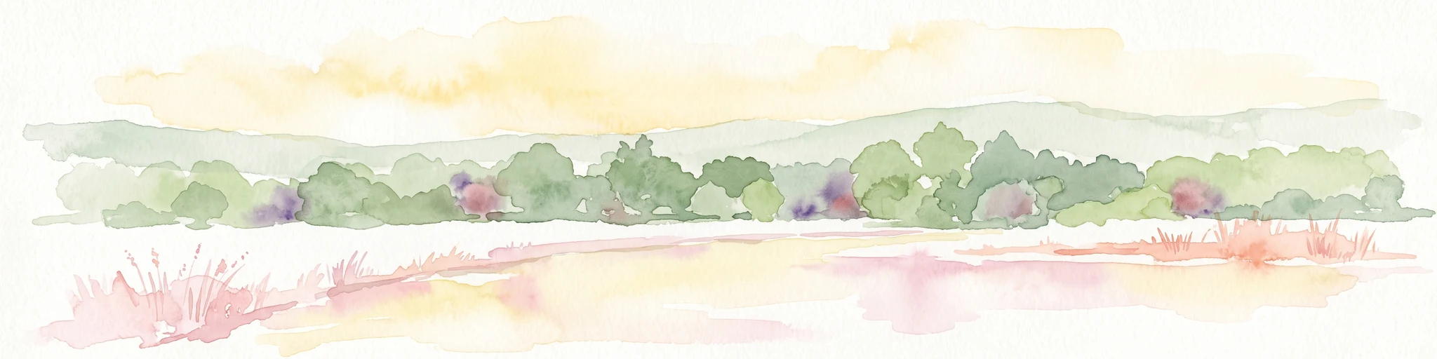
Watercolor painting of a soft landscape showing a light orange foreground, a band of green trees and bushes in the midground, and faint rolling hills against a pale yellow sky in the background.
Nature reserveLandkreis Darmstadt-Dieburg
About 2.6 km away#2 closest

Northeast

Brackenbruch bei Hergershausen: Nature Reserve and Floodplain Ecosystem in Darmstadt-Dieburg

Protected wetland landscapes and Lache stream geography

Located in the Darmstadt-Dieburg district, Brackenbruch bei Hergershausen preserves a characteristic lowland floodplain mosaic. The terrain includes wet meadows, reed beds, and developing oak-hornbeam forests that reflect the natural vegetation of the southern Hessian river valleys. This site maintains essential wetland habitats for regional biodiversity within its protected boundaries.

Area
0.523 km²
Established
1999
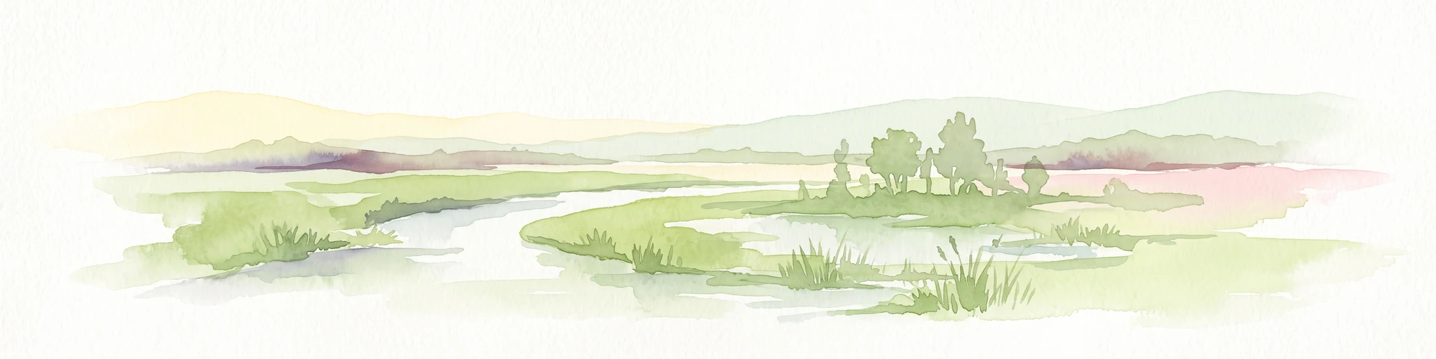
A soft watercolor painting of a winding stream through a green wetland with trees and distant hills in the background.
Nature reserveHessen
About 3.4 km away#3 closest

West

Faulbruch von Münster Nature Reserve: Hessen Wetland and Forest Geography

Mapped protected landscapes in southern Germany.

Discover the geographic composition of Faulbruch von Münster, a protected nature reserve in Hessen. This area features a distinctive mix of alder swamp forest and wet meadows, providing a valuable habitat within the Rhine-Main region. Analyze the terrain, forest patches, and wetland boundaries through our detailed regional atlas.

Area
0.77 km²
Established
1985
IUCN
IV
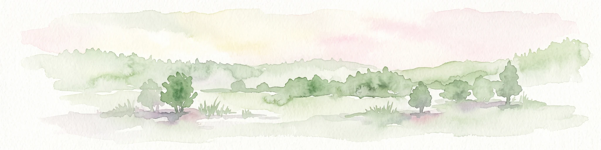
Watercolor painting of a soft, hazy landscape featuring scattered trees, bushes, and rolling hills in shades of green and pink against a pale background.
Nature reserveHesse
About 4 km away#4 closest

West

Fohlenweide von Dieburg: Nature Reserve and Protected Landscape in Hesse, Germany

Mapping the wet meadow habitats and ecological boundaries of southern Hesse.

Located in the Darmstadt-Dieburg district, Fohlenweide von Dieburg is a refined example of a small-scale cultural landscape preserved for its high ecological value. The protected area features a unique mosaic of damp grasslands, forest margins, and riparian strips that support a range of wildlife. This site offers insight into regional conservation management in Central Europe.

Area
0.235 km²
Established
1989
IUCN
IV
Relief
Lowland
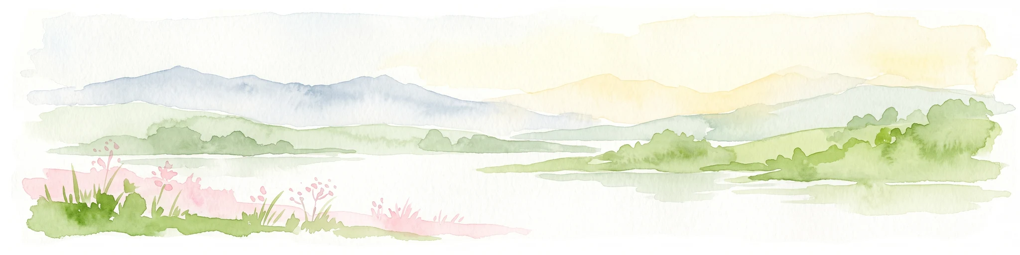
A soft watercolor painting showing a tranquil wetland landscape with calm water, grassy shores, and hazy mountains in the background.
Nature reserveHessen
About 4.5 km away#5 closest

North

Kies- und Sandgrube von Dudenhofen: Regional Nature Reserve and Wetland Mapping

Protected post-extraction landscape in the Hessen region

Kies- und Sandgrube von Dudenhofen protects a distinct network of shallow-water habitats and open-ground terrain near Rodgau. Managed as a nature reserve, this area serves as an essential regional hub for wetland biodiversity, mapping the transition between industrial remnants and regenerated forest ecosystems within the Rhine-Main lowlands.

Area
0.173 km²
Established
1995
IUCN
IV
A soft watercolor illustration depicting a calm wetland scene with distant rolling hills, foreground reeds, and overhanging tree branches.
Nature reserveHesse
About 4.8 km away#6 closest

Northwest

Rallenteich von Eppertshausen Nature Reserve: Protected Landscape and Regional Geography

Wetland and forest mosaic in the Hesse region

Examine the geographic footprint of Rallenteich von Eppertshausen, a significant nature reserve in Hesse, Germany. This 12-hectare protected area showcases a dense mosaic of pond, reedbed, and acidic oak forest that evolved from historical clay mining. Understanding the park's topography and internal landscape zones offers insight into the evolution of post-industrial protected lands.

Area
0.12 km²
Established
1976
IUCN
IV
Relief
Lowland
Nature reserveLandkreis Offenbach
About 4.9 km away#7 closest

North

Niederrodener Lache: A Protected Nature Reserve in Landkreis Offenbach, Germany

Brook-side habitat mosaic and regional landscape geography

Niederrodener Lache encompasses 124 hectares of protected woodland and grassland in the Landkreis Offenbach district. Centered on the Lache brook, the reserve hosts a dense interweaving of alder-fringed streams and varied meadow types. Its landscape profile provides a vital refuge for threatened vegetation and wetland biotopes within the suburbanizing Rhine-Main metropolitan area.

Area
1.246 km²
Established
1986
IUCN
IV
A horizontal watercolor painting depicting a soft-focus landscape with rolling green hills, a marshy foreground with grasses, and light purple mountains in the distance.
Nature reserveHesse
About 5.3 km away#8 closest

Southwest

Das große Hörmes bei Dieburg Nature Reserve: A Wetland Protected Area in Hesse

Mapped lowland wetland habitat in the Gersprenz district

This compact nature reserve in southern Hesse provides a essential sanctuary for wetland species, featuring a rare combination of reedbeds, sedge stands, and moist litter meadows. The area highlights the historical character of the Gersprenz lowlands through its protected hydrological network and open herbaceous habitat structure.

Area
0.136 km²
Established
1985
IUCN
IV

Common questions about visiting, size, designation, and location context for Die kleine Qualle von Hergershausen

Die kleine Qualle von Hergershausen FAQs for park facts, access, geography, and protected area context

Find quick answers about Die kleine Qualle von Hergershausen, including protected-area facts, park geography, trail and visitor context, and how the park fits into its surrounding country and regional landscape.
MoriAtlas Explorer

Continue Your Protected Areas Search Across the Global Atlas

Deepen your exploration by continuing the structured search for national parks and protected areas worldwide. Utilize the comprehensive filtering capabilities to compare different conservation landscapes and refine your understanding of global park geography. Discover more about the distribution and characteristics of protected natural areas.

Global natural geography