

Mori Atlas logo
Park guides

Focused guides for navigating the protected river corridors and forested terrain.

Resource Collection for Drawa National Park: Seasonal Planning and River Exploration

This collection provides thematic guides designed to assist with exploring the natural landscapes of Drawa National Park. Gain insights into optimal windows for river navigation and forest observation across this protected lowland ecosystem.

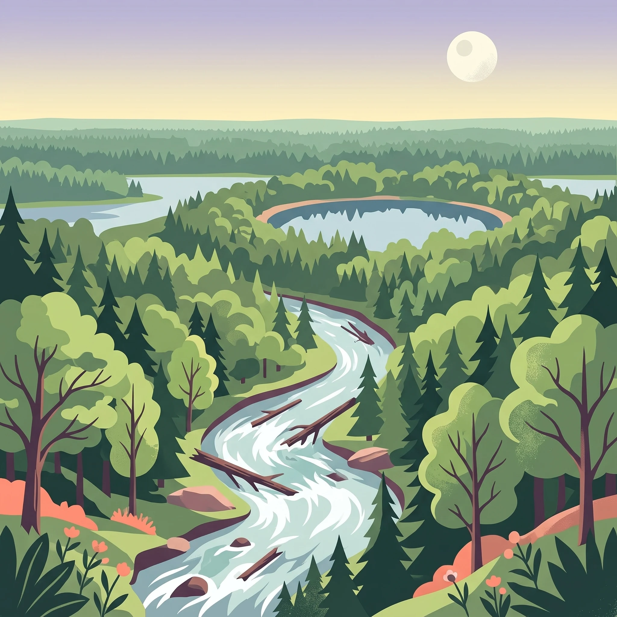
Illustration showing a river flowing through a valley with forests, mountains, a waterfall, and a lake under a partly cloudy sky

Poland's river-centered forest wilderness in the heart of the Drawsko Plain

Drawa National Park

Drawa National Park sits within the heart of the Drawsko Forest, one of Poland's largest and most ecologically significant lowland forest complexes. The park's landscape is shaped by the Drawa and Plociczna rivers, which have carved deep valleys through the generally flat terrain of the Drawsko Plain. These valleys, together with numerous lakes, peat bogs, and artificial water channels, create a diverse mosaic of wetland and forest habitats. The terrain exhibits remarkable topographic variation in places, with elevation differences of up to 30 meters occurring within just 500 meters—unusual for Poland's lowlands. The highest point reaches 106 meters near Martew Lake in the northern part of the park. The soil is predominantly poor, sandy material, which has limited agricultural development and helped preserve the forest cover that defines the region. The park was created in 1990 initially covering 86.91 square kilometers and was later expanded to its current size of approximately 113 square kilometers, with forests accounting for 96 square kilometers and water bodies for another 9.4 square kilometers.

Location
Poland
Park type
National park
Established
1990
Area
115.4 km²
Drawa National Park Protected Area
1 guide

Compare thematic resources to match specific travel and timing questions

Published Guides and Focused References for Drawa National Park

Complete collection of published reference materials dedicated to exploring Drawa National Park and its distinct protected landscapes. Focused articles examine seasonal timing factors, ranging from warm weather river recreation windows to quiet periods suited for wildlife observation.
MoriAtlas Explorer

Continue Exploring Drawa National Park's Geographic Context and Protected Landscape

Delve deeper into the atlas of Drawa National Park, understanding its place within the regional geography of West Pomeranian Voivodeship. MoriAtlas offers a structured approach to exploring the park's mapped boundaries, unique river valley terrain, and preserved forest ecosystems. Continue your discovery of this important protected area to gain a comprehensive geographic perspective on its natural heritage.

Global natural geography