
Why Dürres Maar stands out
The Dürres Maar is known primarily as a textbook example of a Trockenmaar, or dry maar, in which the former crater lake has filled in and been replaced by a thick peat body. It is valued both for its clearly visible, weakly eroded tuff wall and for its transition mire, which rises above the local water table and records several thousand years of peat accumulation. Together with the nearby Hitsche Maar and Holzmaar it forms a small maar triplet that is frequently used to illustrate maar geomorphology and post-glacial succession in the Eifel.
Dürres Maar landscape and geographic character
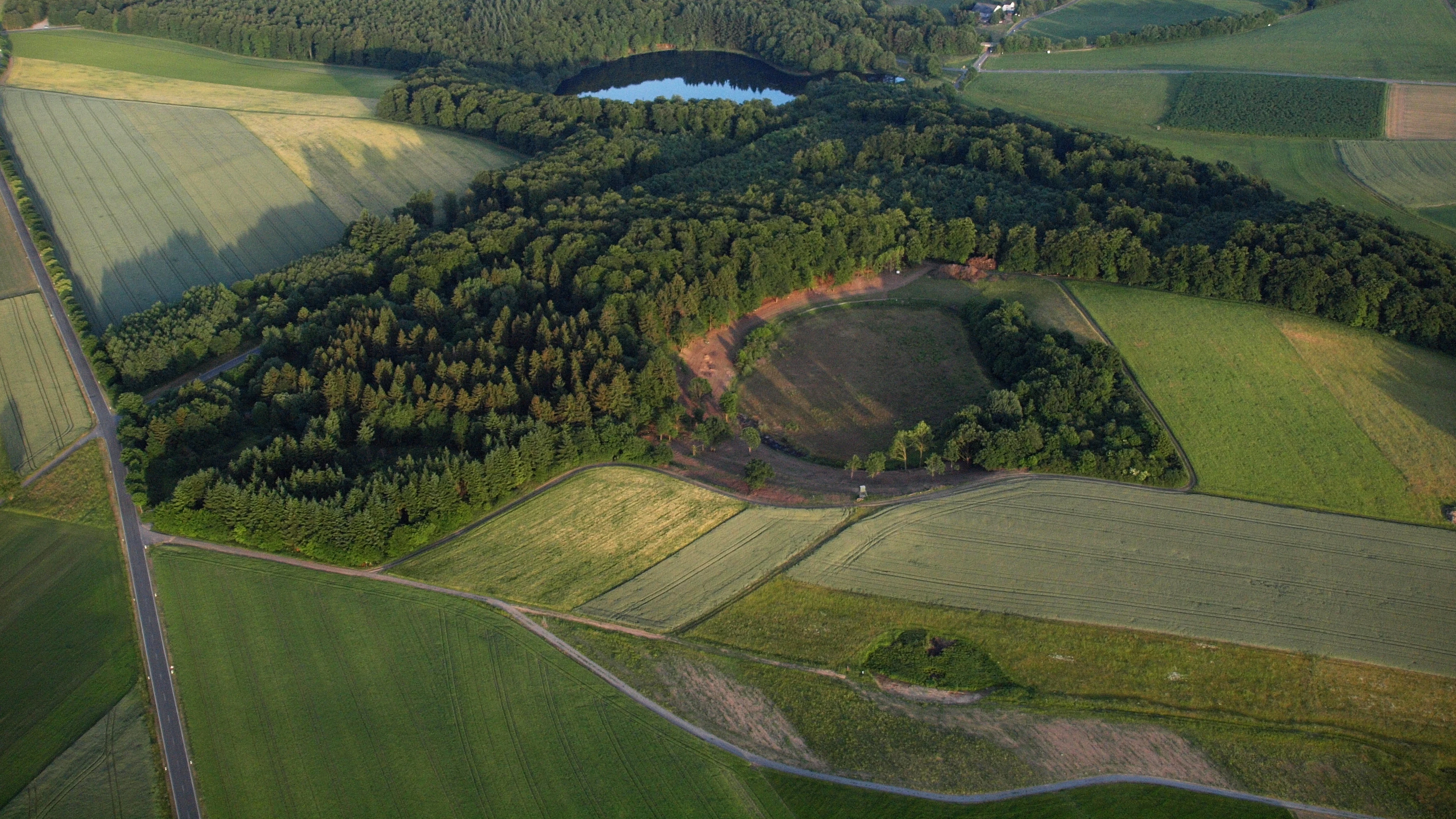
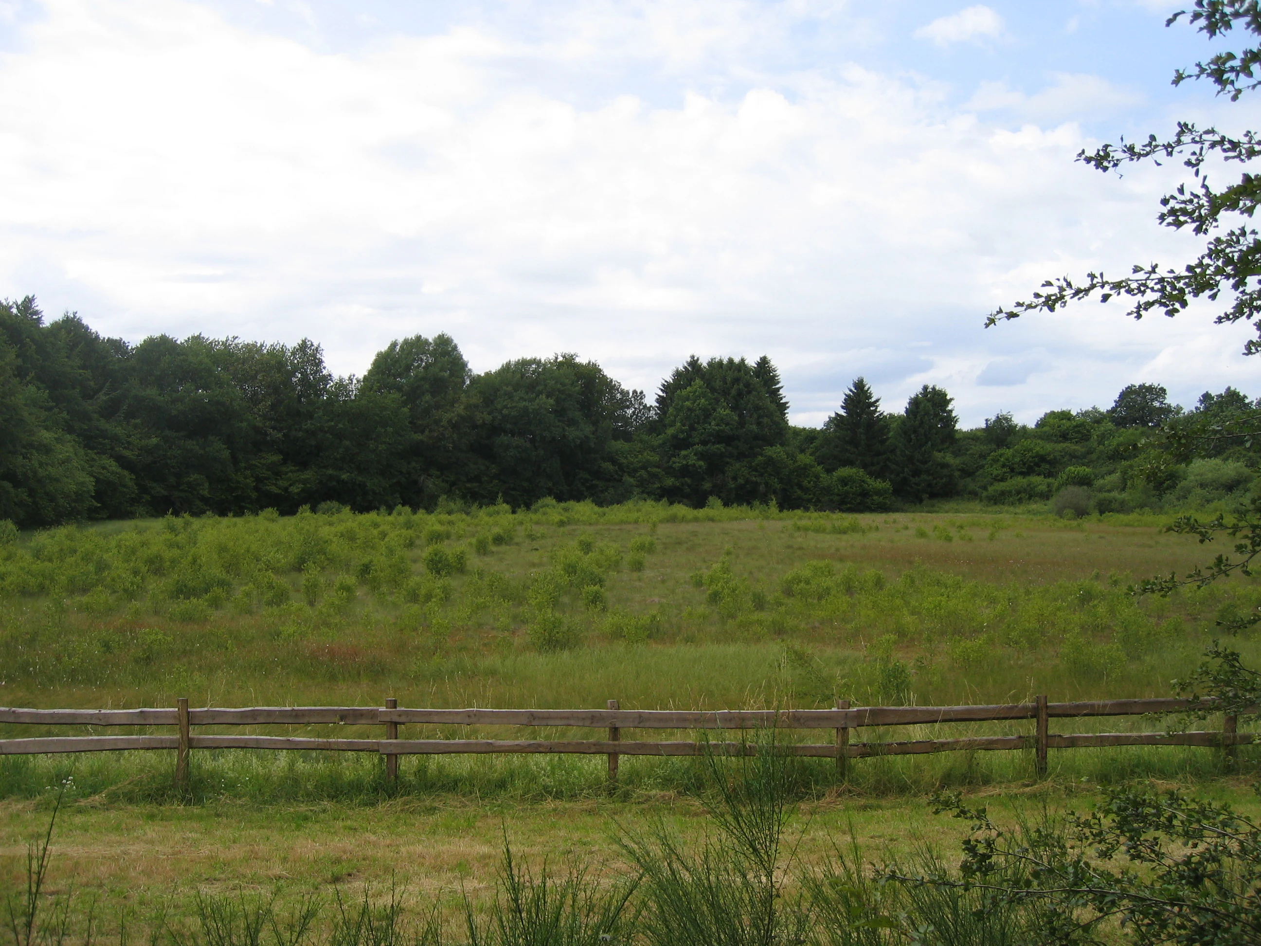
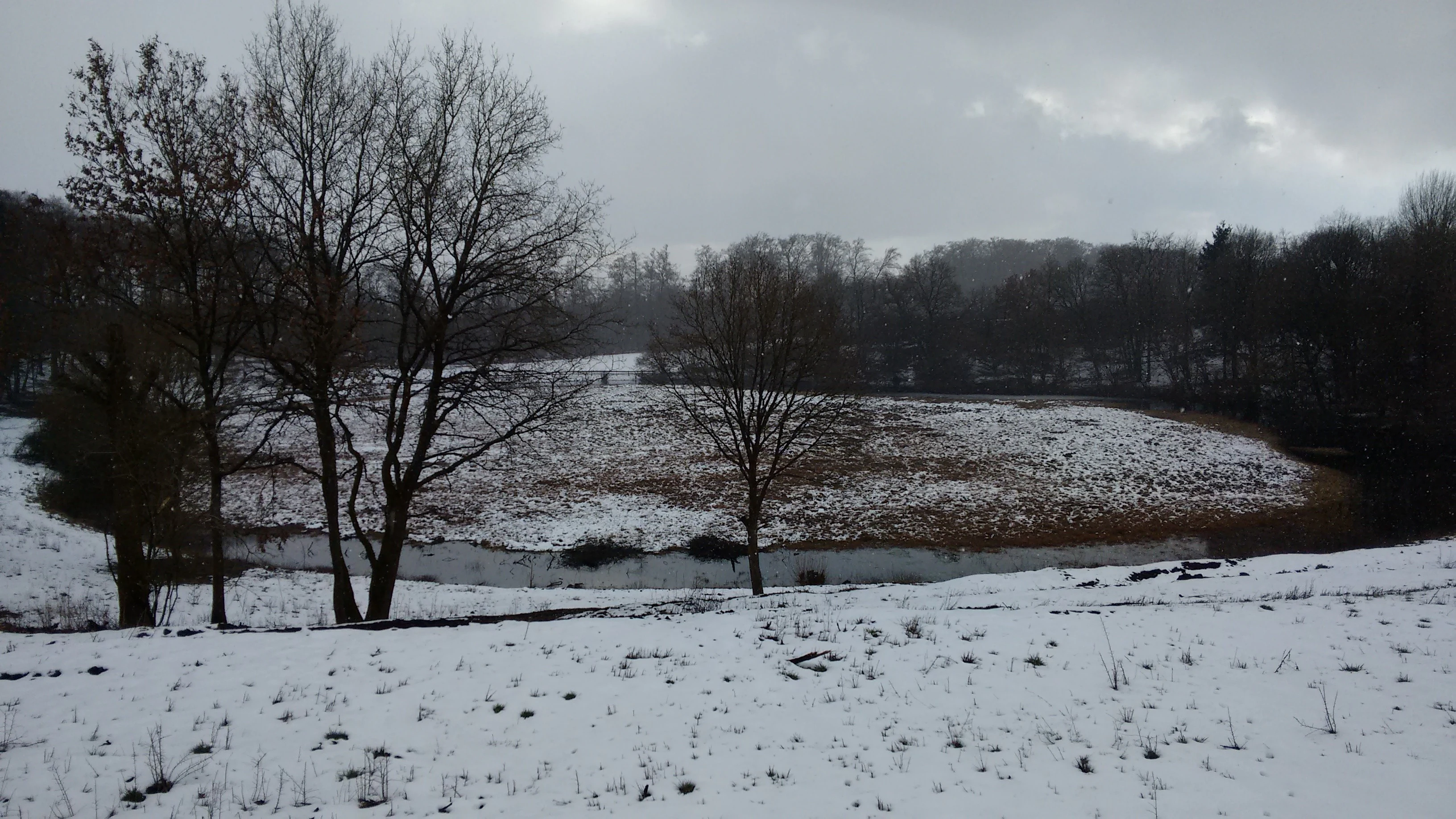
The defining landform of the Dürres Maar is a near-circular explosion crater, framed by a low wall of pyroclastic material made of fine lapilli and consolidated tuff. The rim is only weakly eroded, which means that, despite the great age of the structure, its original concentric outline is still visible in the terrain. The crater floor lies below the level of the surrounding agricultural land and forms a shallow bowl roughly 290 m across.
Inside that bowl, the original lake has been replaced by a domed peat surface that rises slightly above the surrounding groundwater level. This raised peat dome is typical of older Eifel maars that have lost their open water and matured into mires, and it gives the Dürres Maar its characteristic alternation between a dry, rim-like outer edge and a soft, waterlogged inner basin. In winter the contrast is particularly visible, when the dark, frost-tinged peat body shows clearly against the lighter rim and the pale fields of the surrounding Eifel countryside.
Dürres Maar ecosystems, habitats, and plant life
Ecologically the Dürres Maar is dominated by its transition bog, an Übergangsmoor midway between a raised bog and a fen. The peat is built mainly from Sphagnum mosses and brown mosses, which together form the structural backbone of the mire. Beneath the living moss layer, the peat body extends downward through several thousand years of accumulated plant material.
Under the peat lie strongly decomposed lake sediments that date back to the closing stages of the last glacial period, when the maar still held open water at the end of the Würm glaciation. This layered sequence means that the Dürres Maar preserves, in a single small basin, both a record of late-glacial aquatic conditions and several millennia of subsequent bog development. The bog is fed both by direct precipitation on its surface and by spring water that enters the mire at its northeastern edge, giving it a mixed hydrology that explains its transitional character between ombrotrophic and minerotrophic mire types.
Dürres Maar conservation status and protection priorities
The Dürres Maar is designated for nature conservation, reflecting its importance as a representative Trockenmaar and as a peat-forming wetland in a region where many former crater lakes have been drained or altered. Its protected status covers both the crater morphology, including the tuff wall and the basin morphology, and the peatland ecosystem that has developed inside it. Because intact transition bogs of this age and thickness are now rare in central Europe, the site also has wider value for climate and Holocene vegetation research, as documented in studies of Eifel maars that use the Dürres Maar and similar sinks as natural archives.
Top sights and standout views in Dürres Maar
A textbook dry maar with a clearly preserved but weakly eroded tuff rim, part of a small maar triplet near Gillenfeld together with the Hitsche Maar and the Holzmaar. A thick transition bog built from Sphagnum and brown-moss peat rising above the local water table, with several thousand years of peat accumulation and late-glacial lake sediments beneath. A protected natural site that combines volcanic geomorphology with long-term mire development in the Volcanic Eifel.