
Mori Atlas logo
Park earthquake history

Review documented earthquake data, epicentre distances, and magnitude records for the region.

Historical Catalogue of Recorded Seismic Activity Near Eifel National Park

This resource provides a transparent, historical catalogue of seismic events recorded in the vicinity of Eifel National Park. Each entry includes verified details such as event dates, magnitude, focal depth, and calculated epicentre distance from park boundaries. By organizing these USGS-derived records, this resource offers context for regional seismic activity within the North Rhine-Westphalia landscape without implying geological causation or future hazard.

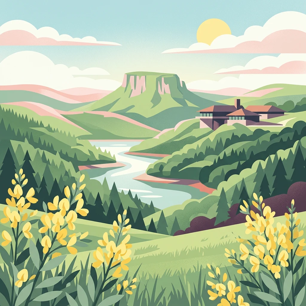
Illustration showing a river valley, hills, forest, yellow flowers in foreground, and a building on a hillside with the sun and clouds in the sky

Germany's first national park in North Rhine-Westphalia, protecting Atlantic beech forests and recovering wilderness in a former military landscape

Eifel National Park

Eifel National Park is the 14th national park in Germany and the first established in the state of North Rhine-Westphalia, founded on January 1, 2004. The park covers approximately 10,700 hectares of rolling forested terrain in the northern Eifel region, situated between Nideggen in the north, Gemünd in the south, and the Belgian border to the southwest. It forms part of the larger High Fens-Eifel Nature Park, a cross-border protected area established in 1960. The landscape is characterized by extensive deciduous and coniferous forests, scenic reservoirs including the Rur Reservoir and Urft Reservoir, and the former Vogelsang Military Training Area which was incorporated into the park in 2006. The park protects wood-rush and beech woodlands that thrive in the maritime climate and which originally covered much of the Eifel region and large parts of Central Europe. As a young national park classified as a park in development, it aims to allow 75 percent of its area to develop naturally without human intervention within 30 years of its founding.

Location
Germany
Park type
National park
Established
2004
Area
107 km²
Eifel National Park Protected Landscape

Compare Eifel National Park event dates, magnitudes, depths, and distances

Explore historical earthquake records associated with Eifel National Park

Eifel National Park’s searchable records gain their park association from reported epicentre positions and calculated distance, not from classifying every earthquake within the boundary. Each listing provides time, magnitude, depth, place name, separation, and a source reference for historical comparison without attributing park influence, assigning seismic cause, describing current danger, or forecasting activity.

Sort by
Magnitude
Location

This page describes catalogued earthquakes associated with the park by epicentre location and distance. It does not establish causation, assess current danger, or predict future earthquakes.

No earthquake records match the current filters

Park atlas

Continue beyond Eifel National Park earthquake history in the atlas

Discover other protected parks after Eifel National Park

The earthquake evidence associated with Eifel National Park is followed by a distinct collection of protected destinations. Those links do not assert shared national-park status, landscapes, earthquake records, geological context, proximity, seismic relevance, hazard, risk, or equal catalogue depth.
Nature reserveNordrhein-Westfalen
Park boundaries overlap#1 closest

Southwest

Naturschutzgebiet Perlenbach-Fuhrtsbachtal: Geographic Atlas and Protected Area Context

Mapped brook valleys and rare Eifel wetland habitats

The Naturschutzgebiet Perlenbach-Fuhrtsbachtal protects a distinctive valley system near the Eifel plateau. This area is recognized for its cold, humid microclimate and diverse habitats, ranging from spring-fed fens to ancient meadow systems. Beyond its rare floral displays, the reserve serves as a critical refuge for freshwater pearl mussels and ice-age butterfly relict species, illustrating the intersection of regional geography and conservation.

Area
3.4 km²
Established
1976
IUCN
IV
Relief
Upland
Nature reserveNordrhein-Westfalen
Mapped location lies within the park boundary#2 closest

Southwest

Wüstebachtal Nature Reserve: Protected Eifel Valley and Wetland Landscapes

Hydrological geography and upland meadow ecosystems in Nordrhein-Westfalen

Wüstebachtal represents a quintessential Eifel nature reserve where the convergence of flowing stream corridors and species-rich meadows creates a unique habitat for threatened flora. This protected area focuses on the conservation of the Wüstebach valley, maintaining vital connections between alpine-style meadow communities and forest-fringed wetlands within the North Rhine-Westphalia region.

Area
0.834 km²
Established
1997
IUCN
IV
Protected landscapeBelgium
About 0.1 km away#3 closest

Southwest

Hohes Venn, Eifel Nature Park: A Protected Landscape in Belgium for Geographic Atlas Exploration

Explore mapped natural terrain and protected area details.

The Hohes Venn, Eifel Nature Park in Belgium represents a key protected landscape for atlas and geographic discovery. This entry focuses on the park's specific identity, its geographic setting within Belgium, and the value it holds for users interested in mapped terrain and protected area exploration. Understand the landscape context and the detailed geographic information available for this significant natural area, supporting structured learning about Belgium's conservation efforts.

IUCN
V
Nature reserveNordrhein-Westfalen
About 0.7 km away#4 closest

West

Wolfs- und Wollebachtal Nature Reserve: Geographic Profile and Protected Stream Valleys

A vital deciduous forest and stream valley refuge in North Rhine-Westphalia

Wolfs- und Wollebachtal preserves a diverse mosaic of low mountain stream corridors and broadleaf forest types. This protected area connects several ecologically sensitive valley systems, offering a distinct contrast to surrounding forestry plantations through its meandering brooks, seepage springs, and preserved oak-hornbeam coppice habitats.

Area
0.487 km²
Established
1999
IUCN
IV
Relief
Upland
Protected areaGermany
About 2 km away#5 closest

Southwest

Holderbachtal, Dürholderbachtal: Protected Area Geography and Landscape Mapping in Germany

Integrated stream valley and wetland habitat analysis

Holderbachtal, Dürholderbachtal covers 187 hectares of diverse terrain in Germany, blending alder swamp forests with species-rich grasslands. This protected area offers deep insight into the valley-bound ecology and hydrological characteristics that define the Eifel region. Explore the connection between the primary stream systems, spring mires, and the surrounding woodland mosaic in this structured geographic overview.

Nature reserveNordrhein-Westfalen
About 3.1 km away#6 closest

Southwest

Kluckbachtal Nature Reserve: Geographic Atlas and Protected Stream Valley Overview

Mapped riparian forest and orchard meadow habitats in Nordrhein-Westfalen

Kluckbachtal protects a distinctive valley segment between Rohren and Höfen, featuring a complex of stream beds, wet grasslands, and old oak and alder woodland. This nature reserve is recognized for its significant role in preserving Red List species and traditional cultural landscapes, offering a detailed look at the ecology of the northern Eifel region through its varied habitats.

Area
1.13 km²
Established
1997
IUCN
IV
Relief
Upland
Nature reserveNordrhein-Westfalen
About 3.4 km away#7 closest

Southwest

Mittleres Rurtal mit den Felsbildungen der Perdsley und Wiselsley Protected Nature Reserve Map

Exploring the Rur valley river dynamics and cliff geology

Investigate the topographical features of the Mittleres Rurtal mit den Felsbildungen der Perdsley und Wiselsley, a critical nature reserve characterized by free flowing river segments and steep ravine forests. This overview outlines the ecological distribution of rock formations and riparian habitats across the Monschau region landscape.

Area
1.33 km²
Established
2003
IUCN
IV
Protected landscapeNordrhein-Westfalen
About 3.9 km away#8 closest

Northwest

Buhlert: Protected Landscape and Woodland History in Nordrhein-Westfalen, Germany

Eifel forest terrain, military heritage, and ridge geography

Buhlert presents a unique study in regional geography, standing as a continuous forest ridge that anchors a piece of the mid-elevation Eifel. This protected area integrates environmental conservation with the preservation of significant wartime bunkers, bomb craters, and historical military paths that define the surrounding woodland and terrain.

Area
6.99 km²
Established
2004
IUCN
V
Relief
Mountain
MoriAtlas Explorer

Continue Your Atlas Exploration of Eifel National Park's Geography

Dive deeper into the geographic features and protected landscape context of Eifel National Park. MoriAtlas offers a structured approach to understanding its place within North Rhine-Westphalia and Germany's network of natural areas. Continue your exploration to map its boundaries, compare its regional setting, and uncover the atlas-driven insights that define this significant national park.
