

Streams
Park geography
A detailed look at regional terrain, protected area dimensions, and local topography.
Eifel National Park: Comprehensive Geographic Profile, Mapped Boundaries, and Natural Features
Examine the physical geography of Eifel National Park, located within the North Rhine-Westphalia region of Germany. This profile covers the recorded land area, spanning 107 square kilometers, alongside detailed insights into local peaks, valley systems, and temperate forest cover.
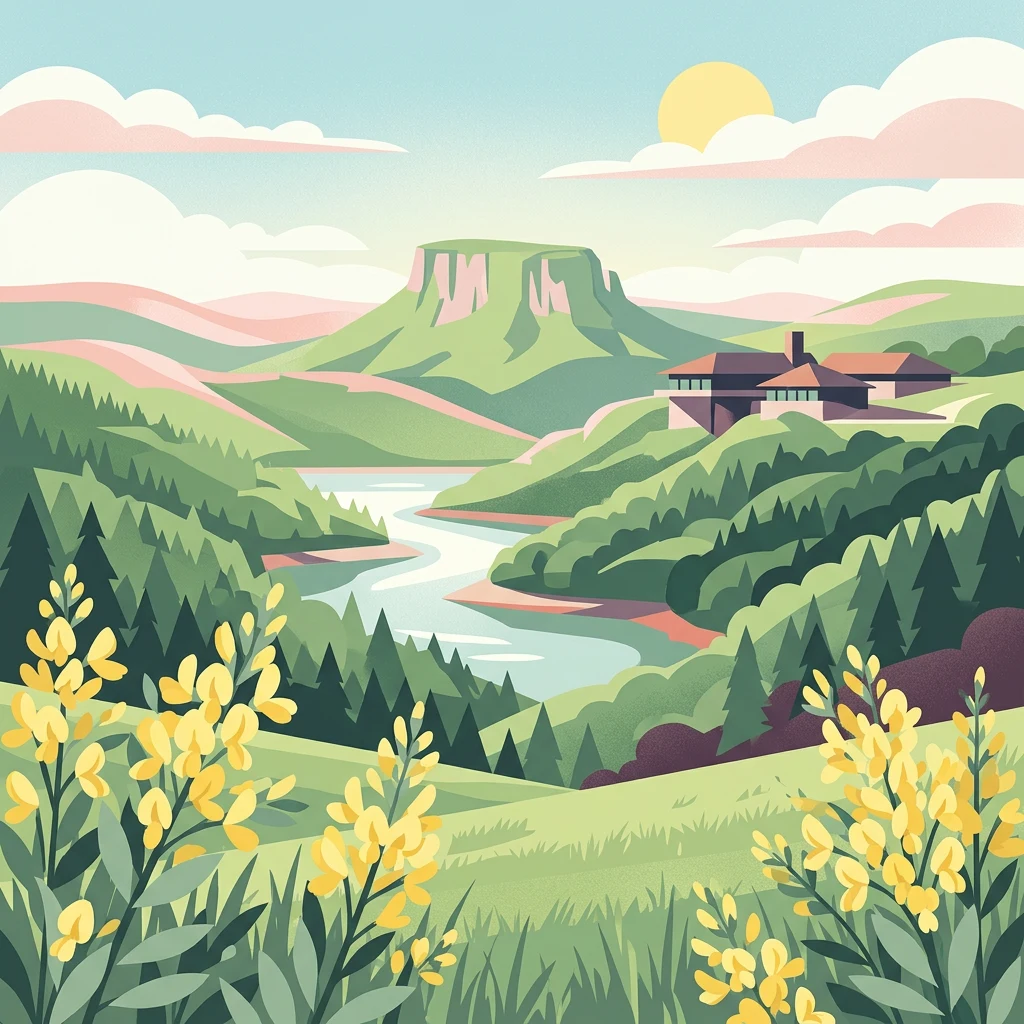
Germany's first national park in North Rhine-Westphalia, protecting Atlantic beech forests and recovering wilderness in a former military landscape
Eifel National Park
Eifel National Park is the 14th national park in Germany and the first established in the state of North Rhine-Westphalia, founded on January 1, 2004. The park covers approximately 10,700 hectares of rolling forested terrain in the northern Eifel region, situated between Nideggen in the north, Gemünd in the south, and the Belgian border to the southwest. It forms part of the larger High Fens-Eifel Nature Park, a cross-border protected area established in 1960. The landscape is characterized by extensive deciduous and coniferous forests, scenic reservoirs including the Rur Reservoir and Urft Reservoir, and the former Vogelsang Military Training Area which was incorporated into the park in 2006. The park protects wood-rush and beech woodlands that thrive in the maritime climate and which originally covered much of the Eifel region and large parts of Central Europe. As a young national park classified as a park in development, it aims to allow 75 percent of its area to develop naturally without human intervention within 30 years of its founding.
- Location
- Germany
- Park type
- National park
- Established
- 2004
- Area
- 107 km²
Location overview
A terrestrial protected area in North Rhine-Westphalia, Germany
Geographic Location and Regional Boundaries of Eifel National Park
Eifel National Park is located within Germany in the region of North Rhine-Westphalia. The inland terrestrial sanctuary is managed within a single regional boundary, containing no coastal or marine zones.
- Countries
- Germany
- Regions
- North Rhine-Westphalia
- Primary location
- North Rhine-Westphalia
- Geographic setting
- Inland
Boundary and coordinates
Spatial dimensions and land area measurements across 107 square kilometers
Geographic Boundary Map and Spatial Limits of Eifel National Park
The mapped outline trace shows the spatial footprint of Eifel National Park across the regional terrain. Accompanying datasets detail the 107 square kilometers of land area, coordinate spans, and geographic center point.
- Boundary area
- 108.9 km²
- Boundary perimeter
- 159.9 km
- Northernmost point
- 50.6904° N
- Southernmost point
- 50.4964° N
- Easternmost point
- 6.5597° E
- Westernmost point
- 6.2674° E
- Geographic centre
- 50.5812° N, 6.4233° E
- North–south span
- 21.6 km
- East–west span
- 20.7 km
Terrain and natural features
Upland terrain classifications and recorded interior water bodies
Eifel National Park Terrain and Named Natural Features
Upland terrain classifications define the protected landscape while recorded streams, reservoirs, and peaks sit within the boundaries. Linked feature cards supply names, types, measurements, and spatial relationships.
Selected named natural features
Streams
Schlehbach
Streams
Amselbach
Streams
Kaldenbach
Streams
Walbigbach
Streams
Großer Scheuerbach
Environmental setting
Temperate upland relief, forest cover, and major aquatic systems
Eifel National Park Environmental Settings and Landscape Classifications
Recorded habitat types and landscape features provide structured categories for reading the physical setting of Eifel National Park. Stored classifications connect directly to broader atlas records across the regional protected network.
- Relief
- Upland
- Climate
- Temperate
- Water
- Major water bodies
- Forest cover
- Mostly forested
- Seasonality
- Year-round
Landscape features
Forest · Woodland · Hills · Valleys · Lakes · Rivers
Habitat types
Temperate broadleaf forest · Temperate coniferous forest · Riverine habitat · Lacustrine habitat · Grassland
Park atlas
Compare other protected landscapes, tracing their geographic spread across North Rhine-Westphalia.
Explore National Parks and Protected Areas Beyond Eifel National Park in Germany
After exploring Eifel National Park, browse a curated list of other national parks and protected areas across North Rhine-Westphalia and adjacent German regions. Compare these diverse protected landscapes to understand their unique geographic features, conservation profiles, and regional distribution for expanded atlas discovery.
Nature reserveNordrhein-Westfalen
Park boundaries overlap#1 closest
Southwest

Naturschutzgebiet Perlenbach-Fuhrtsbachtal: Geographic Atlas and Protected Area Context
Mapped brook valleys and rare Eifel wetland habitats
The Naturschutzgebiet Perlenbach-Fuhrtsbachtal protects a distinctive valley system near the Eifel plateau. This area is recognized for its cold, humid microclimate and diverse habitats, ranging from spring-fed fens to ancient meadow systems. Beyond its rare floral displays, the reserve serves as a critical refuge for freshwater pearl mussels and ice-age butterfly relict species, illustrating the intersection of regional geography and conservation.
- Area
- 3.4 km²
- Established
- 1976
- IUCN
- IV
- Relief
- Upland
Nature reserveNordrhein-Westfalen
Mapped location lies within the park boundary#2 closest
Southwest
Wüstebachtal Nature Reserve: Protected Eifel Valley and Wetland Landscapes
Hydrological geography and upland meadow ecosystems in Nordrhein-Westfalen
Wüstebachtal represents a quintessential Eifel nature reserve where the convergence of flowing stream corridors and species-rich meadows creates a unique habitat for threatened flora. This protected area focuses on the conservation of the Wüstebach valley, maintaining vital connections between alpine-style meadow communities and forest-fringed wetlands within the North Rhine-Westphalia region.
- Area
- 0.834 km²
- Established
- 1997
- IUCN
- IV
Protected landscapeBelgium
About 0.1 km away#3 closest
Southwest

Hohes Venn, Eifel Nature Park: A Protected Landscape in Belgium for Geographic Atlas Exploration
Explore mapped natural terrain and protected area details.
The Hohes Venn, Eifel Nature Park in Belgium represents a key protected landscape for atlas and geographic discovery. This entry focuses on the park's specific identity, its geographic setting within Belgium, and the value it holds for users interested in mapped terrain and protected area exploration. Understand the landscape context and the detailed geographic information available for this significant natural area, supporting structured learning about Belgium's conservation efforts.
- IUCN
- V
Nature reserveNordrhein-Westfalen
About 0.7 km away#4 closest
West
Wolfs- und Wollebachtal Nature Reserve: Geographic Profile and Protected Stream Valleys
A vital deciduous forest and stream valley refuge in North Rhine-Westphalia
Wolfs- und Wollebachtal preserves a diverse mosaic of low mountain stream corridors and broadleaf forest types. This protected area connects several ecologically sensitive valley systems, offering a distinct contrast to surrounding forestry plantations through its meandering brooks, seepage springs, and preserved oak-hornbeam coppice habitats.
- Area
- 0.487 km²
- Established
- 1999
- IUCN
- IV
- Relief
- Upland
Protected areaGermany
About 2 km away#5 closest
Southwest
Holderbachtal, Dürholderbachtal: Protected Area Geography and Landscape Mapping in Germany
Integrated stream valley and wetland habitat analysis
Holderbachtal, Dürholderbachtal covers 187 hectares of diverse terrain in Germany, blending alder swamp forests with species-rich grasslands. This protected area offers deep insight into the valley-bound ecology and hydrological characteristics that define the Eifel region. Explore the connection between the primary stream systems, spring mires, and the surrounding woodland mosaic in this structured geographic overview.
Nature reserveNordrhein-Westfalen
About 3.1 km away#6 closest
Southwest
Kluckbachtal Nature Reserve: Geographic Atlas and Protected Stream Valley Overview
Mapped riparian forest and orchard meadow habitats in Nordrhein-Westfalen
Kluckbachtal protects a distinctive valley segment between Rohren and Höfen, featuring a complex of stream beds, wet grasslands, and old oak and alder woodland. This nature reserve is recognized for its significant role in preserving Red List species and traditional cultural landscapes, offering a detailed look at the ecology of the northern Eifel region through its varied habitats.
- Area
- 1.13 km²
- Established
- 1997
- IUCN
- IV
- Relief
- Upland
Nature reserveNordrhein-Westfalen
About 3.4 km away#7 closest
Southwest
Mittleres Rurtal mit den Felsbildungen der Perdsley und Wiselsley Protected Nature Reserve Map
Exploring the Rur valley river dynamics and cliff geology
Investigate the topographical features of the Mittleres Rurtal mit den Felsbildungen der Perdsley und Wiselsley, a critical nature reserve characterized by free flowing river segments and steep ravine forests. This overview outlines the ecological distribution of rock formations and riparian habitats across the Monschau region landscape.
- Area
- 1.33 km²
- Established
- 2003
- IUCN
- IV
Protected landscapeNordrhein-Westfalen
About 3.9 km away#8 closest
Northwest
Buhlert: Protected Landscape and Woodland History in Nordrhein-Westfalen, Germany
Eifel forest terrain, military heritage, and ridge geography
Buhlert presents a unique study in regional geography, standing as a continuous forest ridge that anchors a piece of the mid-elevation Eifel. This protected area integrates environmental conservation with the preservation of significant wartime bunkers, bomb craters, and historical military paths that define the surrounding woodland and terrain.
- Area
- 6.99 km²
- Established
- 2004
- IUCN
- V
- Relief
- Mountain
MoriAtlas Explorer
Continue Your Atlas Exploration of Eifel National Park's Geography
Dive deeper into the geographic features and protected landscape context of Eifel National Park. MoriAtlas offers a structured approach to understanding its place within North Rhine-Westphalia and Germany's network of natural areas. Continue your exploration to map its boundaries, compare its regional setting, and uncover the atlas-driven insights that define this significant national park.
Browse next
Global natural geography
Explore related park routes
Explore MoriAtlas Global ParksBrowse All MoriAtlas ParksGlobal Park Map DiscoveryMoriAtlas: Browse All CountriesBrowse All MoriAtlas ContinentsNational Park Environment AtlasGrand Canyon National Park AtlasYellowstone National Park AtlasYosemite National Park Atlas and GeographySerengeti National Park AtlasGalápagos National Park Protected LandscapeBanff National Park Geography and AtlasKruger National Park Atlas EntryUluṟu-Kata Tjuṯa National Park AtlasExplore Uluru-Kata Tjuta National Park GeographyPlitvice Lakes National Park AtlasFiordland National Park Protected LandscapeGreat Smoky Mountains National Park AtlasAfghanistan National Parks and Protected AreasAlbania National Parks and Protected AreasAlgeria National Parks and Protected AreasAmerican Samoa National Parks and Protected AreasAndorra National Parks and Protected AreasAngola National Parks and Protected AreasAntarctica National Parks and Protected AreasAntigua and Barbuda Park List