
Mori Atlas logo
Nature reserveEiterbachtal von Wald-Michelbach

A protected sandstone landscape featuring meandering streams, wet meadows, and forest fringes

Eiterbachtal von Wald-Michelbach Nature Reserve: Odenwald Stream and Valley Geography

(Naturschutzgebiet Eiterbachtal von Wald-Michelbach)

Eiterbachtal von Wald-Michelbach functions as a protected nature reserve within the central Odenwald sandstone uplands of Hessen. The area preserves a structural mosaic of alder-ash gallery forests, moist meadows, and stream-fed seepage zones along the Eiterbach. This mapped protected landscape captures the hydrological dynamics of a near-natural stream, ranging from gravel beds to tall-herb floodplain communities in a narrow, meandering valley setting.

stream valleynature reserveOdenwaldsandstone uplandgallery forestalder-ash forest
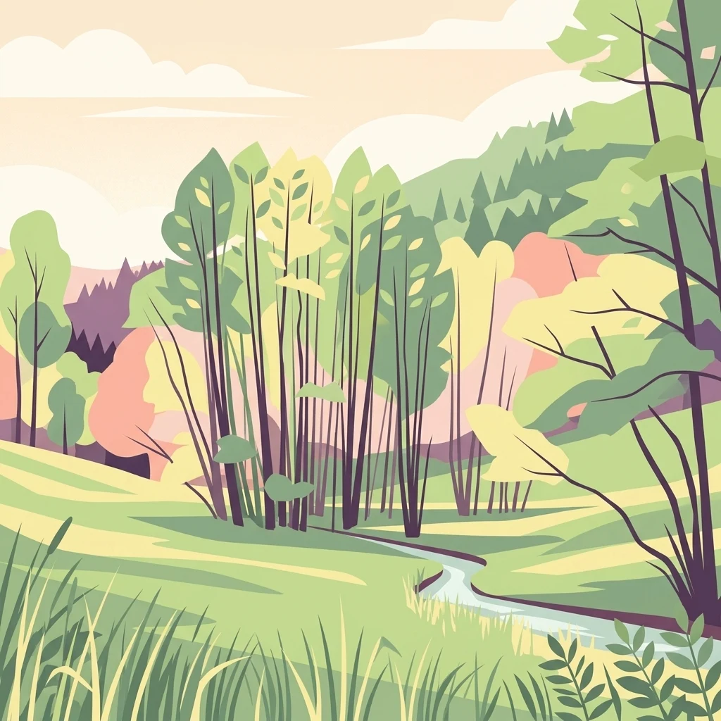
A stylized digital illustration showing a winding stream cutting through a lush green valley with trees and gentle hills in the background.

Eiterbachtal von Wald-Michelbach

Nature reserve

Park overview

Structured park overview, official facts, and landscape profile for Eiterbachtal von Wald-Michelbach

Eiterbachtal von Wald-Michelbach park facts, protected area profile, and essential visitor context

Review the core facts for Eiterbachtal von Wald-Michelbach, including designation, size, terrain, visitor scale, habitats, and operating context in one park-focused overview.

About Eiterbachtal von Wald-Michelbach

Eiterbachtal von Wald-Michelbach is a compact but ecologically dense nature reserve in the southern part of Hesse, situated in the Bergstraße district in the municipality of Wald-Michelbach. Its position in the natural region of the Südlicher zentraler Sandsteinodenwald, or southern central sandstone Odenwald, places it among the forested upland landscapes of the middle Odenwald, where narrow sandstone valleys cut deep into the wooded plateau. The reserve's purpose is to preserve a representative example of an Odenwald stream ecosystem that retains close-to-natural hydrology, vegetation patterns, and habitat structure. The protected landscape is built around the Eiterbach, which rises from two short spring streams in the Boschwald east of the village of Siedelsbrunn. The two spring branches merge within a few hundred meters, and the resulting stream runs roughly 2,500 meters through the Hessian part of the valley before crossing the border into Baden-Württemberg and eventually feeding the Steinach river near Heiligkreuzsteinach. The reserve covers the surrounding valley floor and accompanying forest margins; the Natura 2000 site within it focuses strictly on the stream channel itself plus a ten-meter-wide bank strip on each side. Within the tight valley bottom, the stream is accompanied by alder and ash forests along the immediate banks, above which rise wet meadows, tall-herb communities, and numerous small seepage zones fed by groundwater reach the surface. The forest edge along the valley flanks adds further habitat variety. Together these elements form the classical transect of an Odenwald stream valley: water, gallery forest, herb fringe, wet meadow, forest margin, and forested hillside. The reserve's protected-area design at both the national and European levels reflects its recognized importance for maintaining this intact small-scale pattern. Visually and ecologically, the valley illustrates the character of near-natural mid-mountain streams in central Germany. The meandering course, the alternation of pools and shallow riffles, the undercut outer banks and inner point bars, and the variety of substrate conditions give the habitat its specific biodiversity value. Although small, the reserve carries meaning well beyond its footprint because it preserves structural features that have often been lost in larger, more heavily used stream valleys elsewhere in the region.

Quick facts and research context for Eiterbachtal von Wald-Michelbach

The Eiterbachtal von Wald-Michelbach is a nature reserve of about 47 hectares in the Bergstraße district of Hesse, designated in 1983 under the authority of the Regierungspräsidium Darmstadt. The reserve consists of two parts: a short, around 200-meter stretch of a spring-fed brook near Siedelsbrunn, and the roughly 2,500-meter main floodplain of the Eiterbach between Siedelsbrunn and the Baden-Württemberg state border. Within the larger nature reserve lies the Eiterbach Natura 2000 site (FFH-Gebiet DE6418350), designated in 2008 and covering about 8.5 hectares. This site specifically protects the natural stream course on the Hessian side. The valley belongs to the natural region known as the southern central sandstone Odenwald and forms part of a network of protected stream valleys in the Bergstraße district.

Protection and recognition

Examine the official terrestrial conservation scope and historical designation data.

Eiterbachtal von Wald-Michelbach Protection Status and Designation History

Eiterbachtal von Wald-Michelbach maintains a documented terrestrial protection status established in the year 2008. Conservation researchers can examine official designation records and management scope details associated with this protected landscape.

Protection details

Protection scope
Terrestrial
Designated year
2008
Transboundary protection
No
WDPA ID
81598
Park context

Deeper park guide and search-rich context for Eiterbachtal von Wald-Michelbach

Eiterbachtal von Wald-Michelbach history, landscape, wildlife, and travel context

Explore Eiterbachtal von Wald-Michelbach through its history, landscape character, ecosystems, wildlife, conservation priorities, cultural context, and seasonal travel timing in a structured park guide built for atlas discovery and search intent.

Why Eiterbachtal von Wald-Michelbach stands out

The reserve is best known for protecting a near-natural Odenwald stream valley with unusually high structural variety, including meanders, undercut banks, point bars, and a mosaic of alder-ash forests, tall-herb floodplain vegetation, and small spring seeps. It is also recognized for its rich botanical survey record, which during a 2015 botanical excursion revealed a pronounced tall-herb fringe with species such as wood goatsbeard, yellow monkshood, water avens, marsh hawk's-beard, and yellow flag iris.
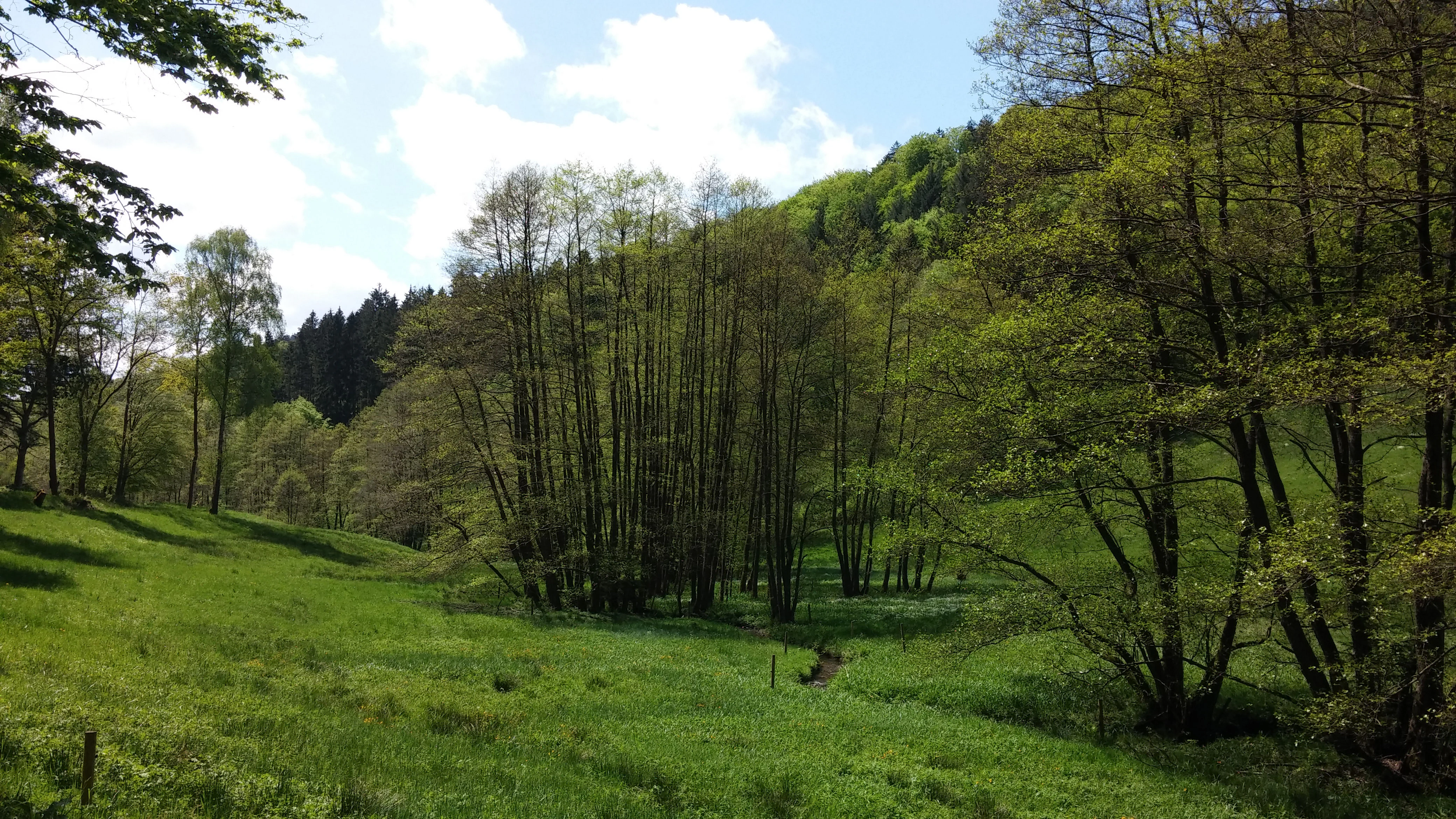
A green valley meadow in Eiterbachtal, Germany, with a stream surrounded by clusters of trees, shrubs, and a wooded hillside in the background.
A peaceful, green valley landscape in the Eiterbachtal nature reserve, featuring a small stream winding through meadows and dense riverside forest.

Eiterbachtal von Wald-Michelbach history and protected-area timeline

The nature reserve Eiterbachtal von Wald-Michelbach was formally established on 17 February 1983 by a protection ordinance issued by the Regierungspräsidium Darmstadt, then the responsible regional authority for this part of Hesse. From the outset, the purpose was to safeguard the near-natural stream valley along with the plant and animal species typical of the southern Odenwald. The area had already been recognized for ecological reasons well before the formal designation, but the 1983 ordinance created a coherent two-part reserve of roughly 47 hectares centered on the Eiterbach valley floor. In 2008, the protected framework was expanded at the European level when the embedded Eiterbach site was designated as a Natura 2000 / FFH area under the EU Habitats Directive, with the additional protection of the Water Framework Directive reinforcing its significance as a near-natural watercourse. The cultural-historical layer of the reserve is older and distinct from the ecological protection history. At the head of a small side valley at the edge of the protected area stand the ruins of St. Maria in Lichtenklingen, a former Marian pilgrimage chapel set between the Hardberg and Stiefelhöhe summits. This ruin predates the nature reserve and forms an enduring human-history feature in the protected landscape.

Eiterbachtal von Wald-Michelbach landscape and geographic character

The protected landscape is a narrow, tightly meandering stream valley set within the sandstone uplands of the southern Odenwald. The valley floor runs roughly northwest to southeast between the village of Siedelsbrunn in the north and the Hessian-Baden-Württemberg state border in the south. The surrounding hills, including the Hardberg at 593 meters and the Stiefelhöhe at 584 meters, frame the reserve in a distinctly mid-mountain style. Along the valley floor, the Eiterbach flows in a winding course marked by pools and shallow riffles. Undercut outer banks alternate with gently sloping inner point bars, and the channel substrate varies between gravel beds, finer sediments, and organic debris. This structural variety is one of the defining landscape features of the reserve. Above the water, the valley bottom opens into a narrow meadow strip about 200 meters wide in places, bordered on both sides by forest margin and steeply rising woodland. The spring-fed wetland areas and seepage zones along the slopes add further habitat and visually soft transitions. In the head of a side valley, the ruins of St. Maria in Lichtenklingen occupy a small clearing at the forest edge, giving the otherwise forested valley an additional open element and a notable cultural landmark within the natural setting.
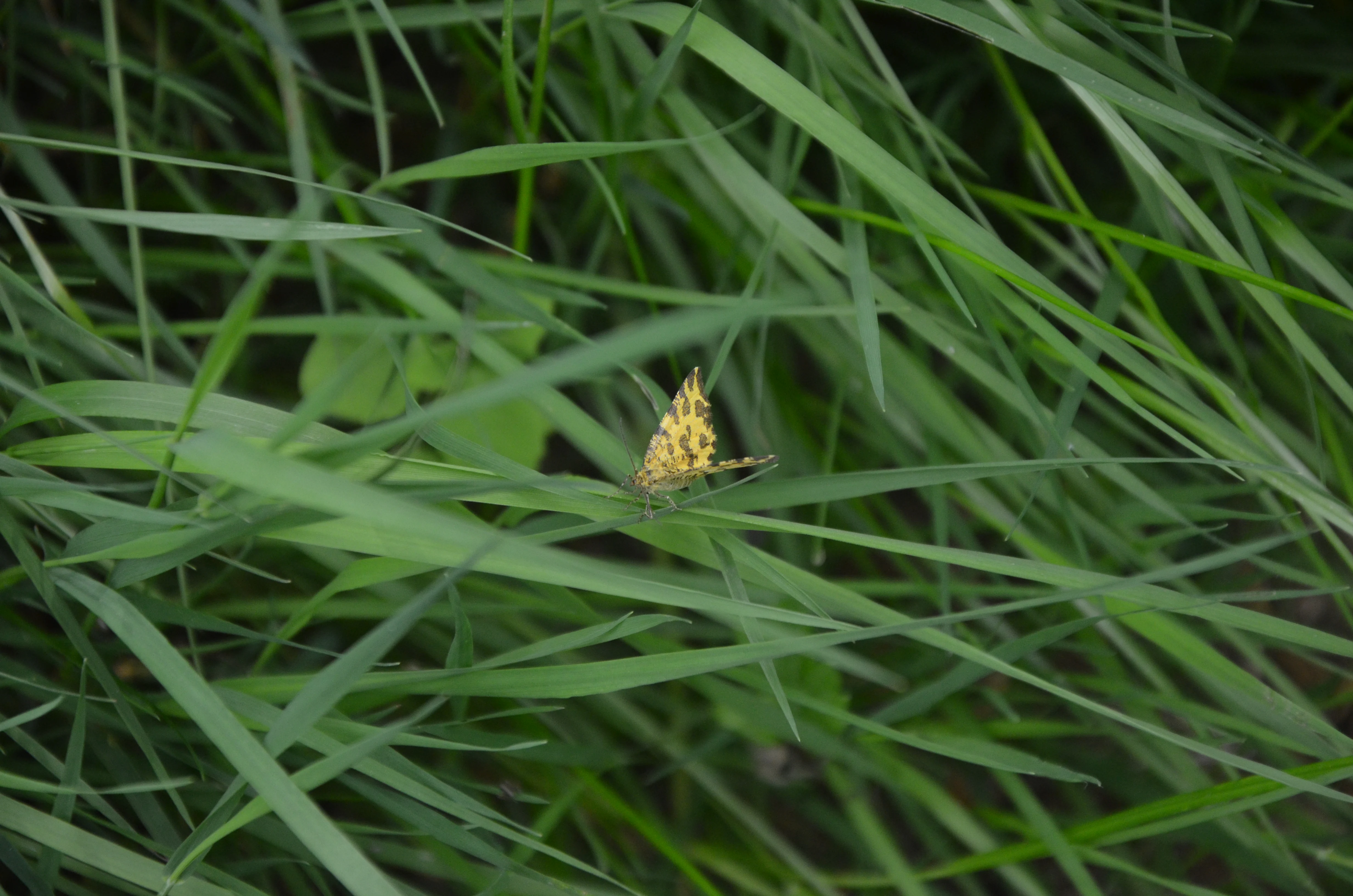
A small yellow moth with dark markings sits on a long green blade of grass surrounded by lush meadow vegetation.
A moth resting on a blade of grass in the Eiterbachtal Nature Reserve.

Eiterbachtal von Wald-Michelbach ecosystems, habitats, and plant life

The habitats of the Eiterbachtal von Wald-Michelbach form a layered, textbook-like sequence of a near-natural central European stream valley. The most striking element on the valley floor is the alder-ash gallery forest that directly lines the stream banks. Beyond this tree layer, a tall-herb floodplain community develops with characteristic moisture-loving plants, and above it the gradient shifts into wet meadows, springs, and seepage areas before reaching the forest margin along the valley flanks. The stream itself is shaped by high habitat diversity. Flow conditions range from faster riffle sections to calm pools, the substrate changes from gravel to silt, and the alternating outer and inner banks form a wide spectrum of microhabitats. Groundwater seeps also emerge along the valley sides, contributing permanent moisture and feeding additional wetland vegetation. A botanical survey in 2015 by the Botanische Arbeitsgemeinschaft Südwestdeutschland highlighted the unusually well-developed tall-herb fringe along the stream, recording notable species such as wood goatsbeard, yellow monkshood, water avens, marsh hawk's-beard, cabbage thistle, cowslip, and yellow flag iris. In flood channels, small pondweed was also documented. Even the inner forest margins, despite their forestry use, retained notable species such as sword-leaved helleborine alongside heather and wall germander.
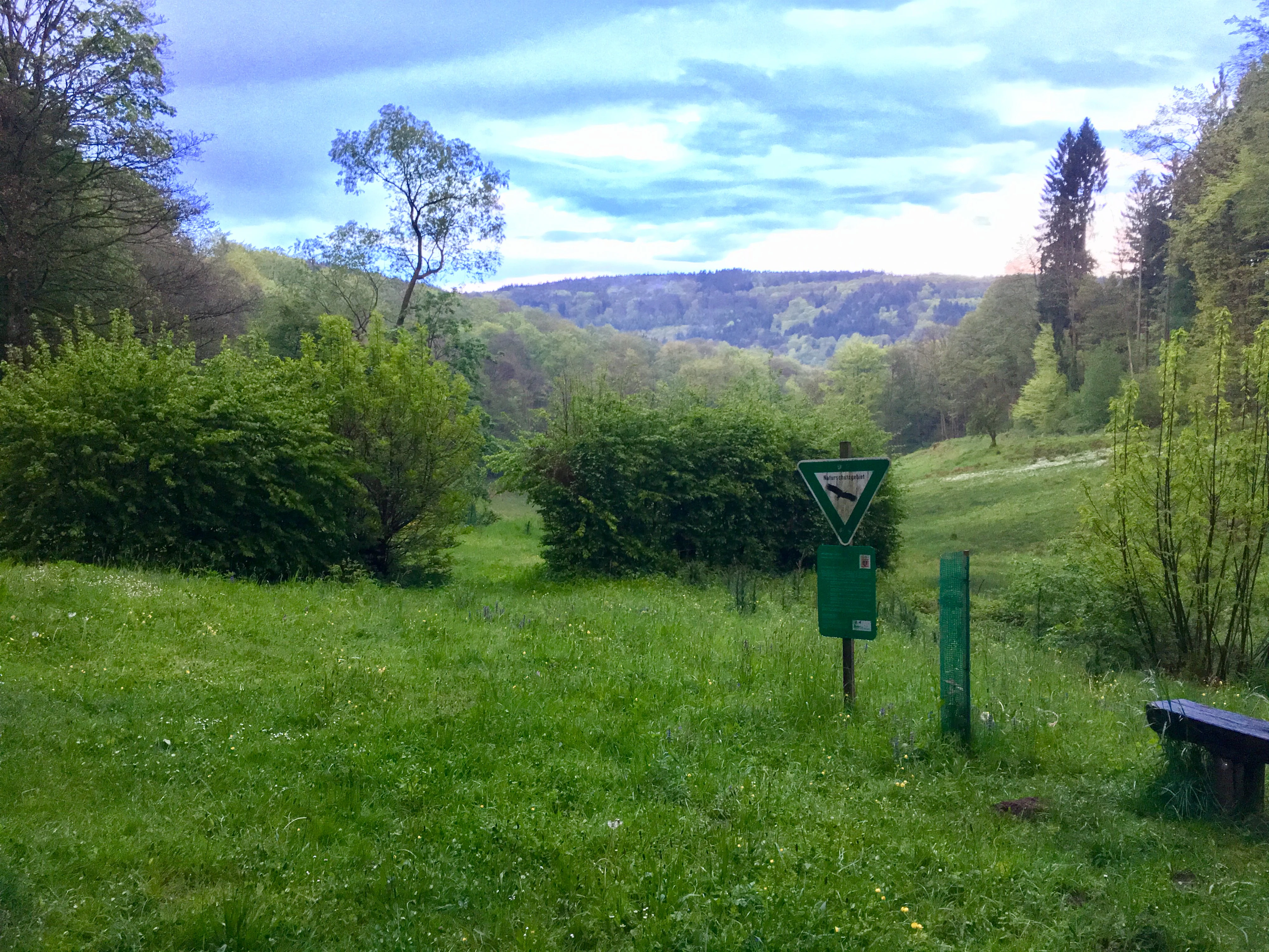
A green valley scene featuring a grassy meadow in the foreground, dense bushes and forest in the midground, and hills under a cloudy sky. A nature reserve sign is visible on a post near the edge of the meadow.
A view into the Eiterbachtal valley near Wald-Michelbach.

Eiterbachtal von Wald-Michelbach wildlife and species highlights

The reserve's wildlife significance lies less in large charismatic mammals than in the specialized fauna of small, near-natural mountain streams and their accompanying floodplain habitats. The aquatic fauna benefits from the Eiterbach's intact morphology, supported by native species such as the European bullhead and the European brook lamprey, which are sensitive indicators of clean, structurally diverse watercourses. Invertebrates and other small stream-dwelling species also reflect the high habitat quality of the watercourse. Larger forest-floor and meadow invertebrates such as earth bumblebees on thistles, the speckled beauty moth, and the forest dung beetle have been documented in the protected valley and form part of its biodiversity profile. The presence of these insect groups reinforces the importance of the mosaic of wet meadow, tall herb, and forest edge communities that line the stream. The broader wildlife context benefits from the surrounding forests of the Odenwald, which connect the small reserve to larger woodland habitat networks. This linkage supports a more typical range of central European forest wildlife, including common forest birds and small mammals that use the valley as a quiet refuge and a feeding corridor between the larger forested areas.
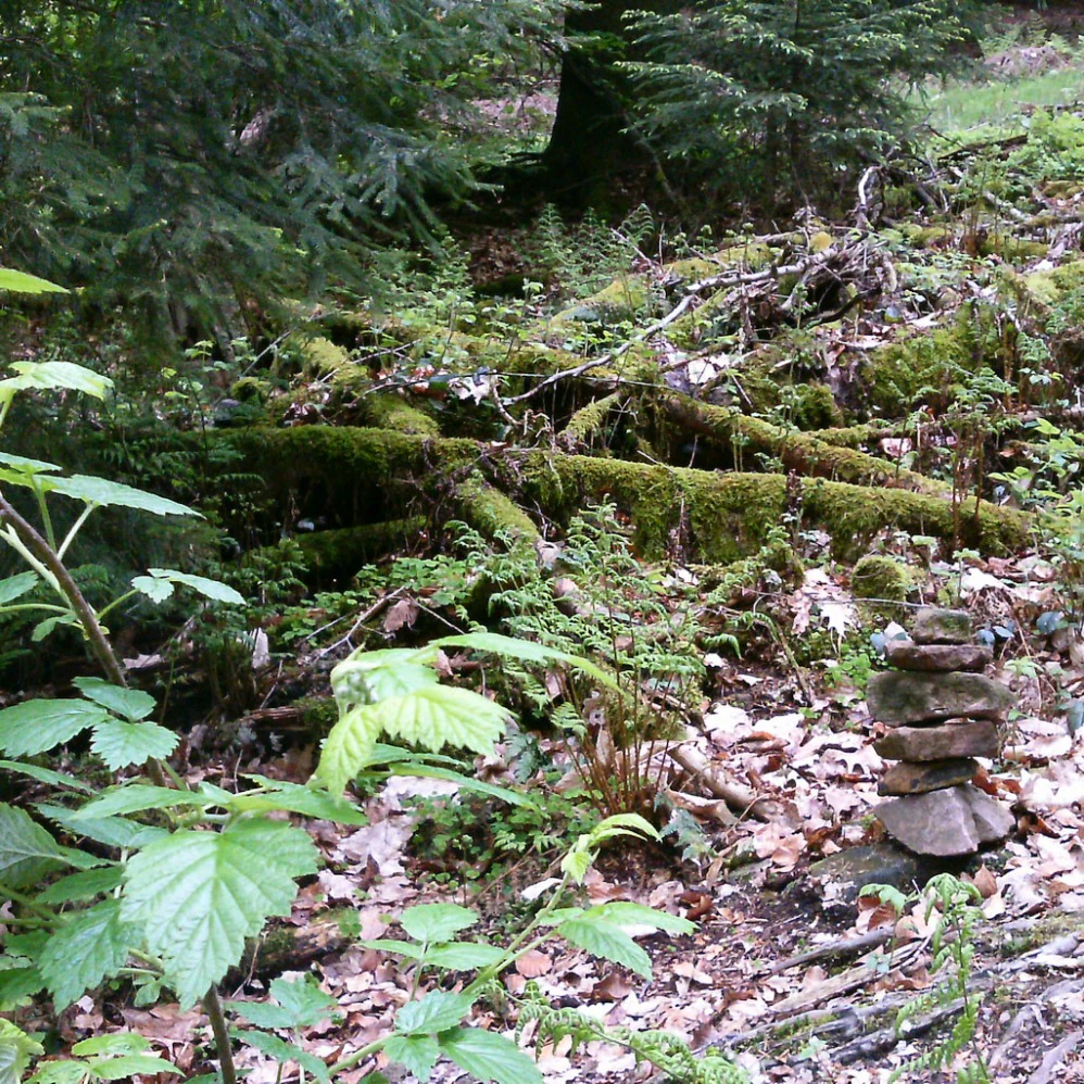
A forest floor covered in moss-covered dead logs and ferns, with a small balanced stack of stones in the foreground.
Moss-covered fallen timber and a small stone cairn in the Eiterbachtal nature reserve.

Eiterbachtal von Wald-Michelbach conservation status and protection priorities

The valley receives a tiered protection regime. At the national level, the Regierungspräsidium Darmstadt established the nature reserve in 1983 under the legal framework for German Naturschutzgebiete, recognized internationally within the IUCN Category IV system for habitat and species management areas. At the European level, the stream corridor was designated in 2008 as a Natura 2000 site under the EU Fauna-Flora-Habitat Directive, and the area also falls under the EU Water Framework Directive because of its importance as a natural watercourse. The conservation objective is the long-term preservation of the near-natural character of the stream, its unaltered channel sections, and the naturally dynamic flow processes and tall-herb communities that depend on them. The hierarchical protection is significant because it secures both the broader valley landscape and the specific aquatic and streamside habitats at the same time. This combination is particularly important because the very features that make the Eiterbach ecologically valuable, such as meanders, undercut banks, and intact gallery forest, are precisely the elements most vulnerable to hydrological alteration, channel straightening, and intensification of nearby land use.

Eiterbachtal von Wald-Michelbach cultural meaning and human context

The valley's cultural dimension is centered on the ruins of St. Maria in Lichtenklingen, an old Marian pilgrimage chapel located at the head of a side valley between the Hardberg and the Stiefelhöhe. Set at the forest edge in a small clearing, the ruin stands as a quiet human-history landmark within a landscape otherwise dominated by forest and stream. The broader cultural context is that of the Odenwald, where small valleys like the Eiterbachtal have historically combined forestry, low-intensity agriculture along the narrow valley bottom, and small devotional sites. For the local region around Wald-Michelbach and the Bergstraße district, the valley belongs to a wider network of traditional cultural landscapes whose present-day ecological value is partly the result of this long, low-intensity land-use history. The protected chapel ruin ensures that this human dimension does not disappear from the protected landscape.
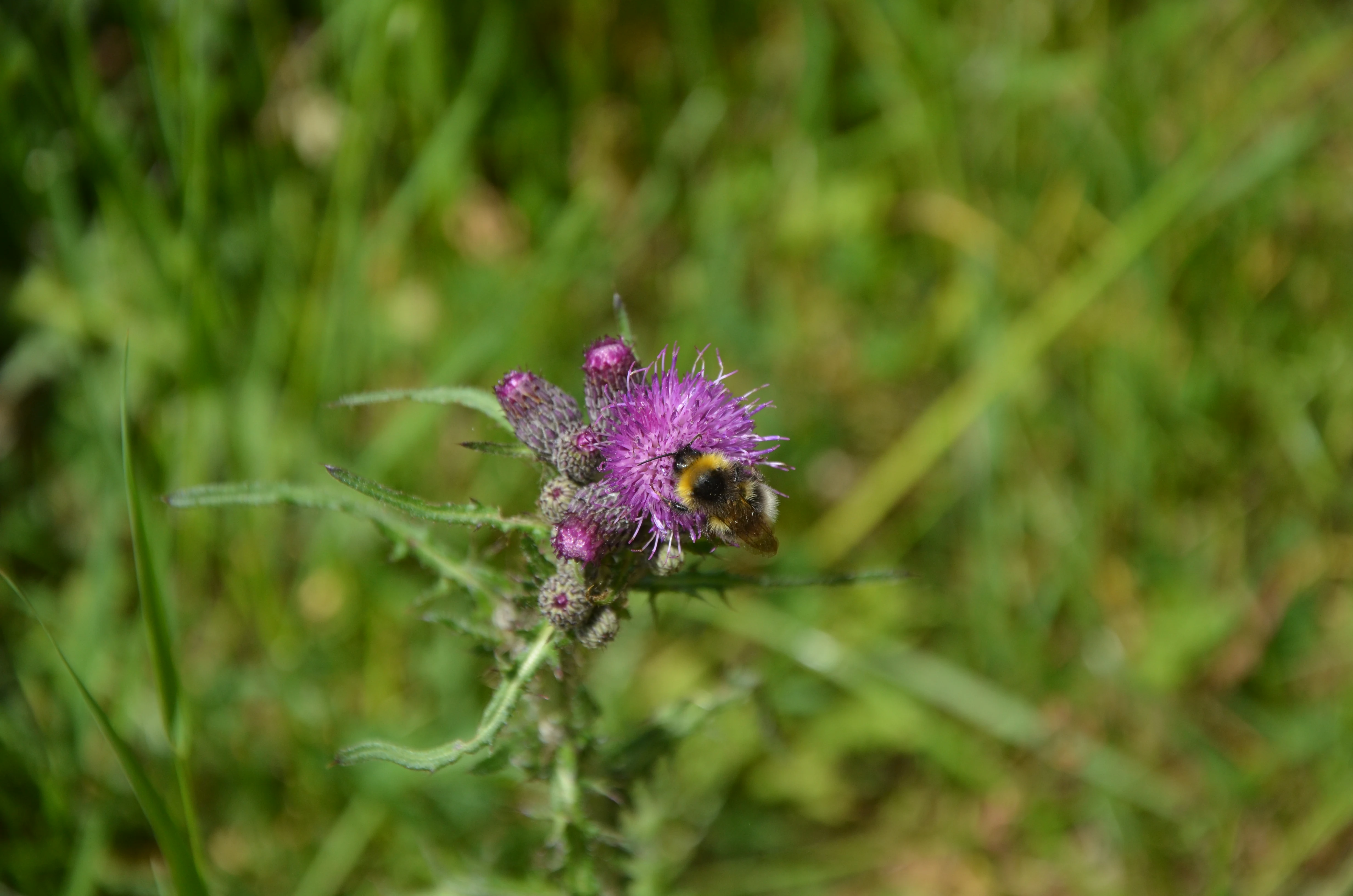
A close-up view of a yellow and black bumblebee on a vibrant purple thistle flower, surrounded by a blurry green meadow background.
A buff-tailed bumblebee feeding on a nodding thistle within the Eiterbachtal nature reserve.

Top sights and standout views in Eiterbachtal von Wald-Michelbach

A near-natural sandstone stream valley in the southern Odenwald with a tight mosaic of alder-ash galleries, tall herbs, wet meadows, and seepage zones. Embedded Natura 2000 status safeguards both the aquatic ecosystem and the broader valley landscape. Notable botanical finds include a rich tall-herb fringe along the Eiterbach and orchid species along the inner forest edges. The ruins of St. Maria in Lichtenklingen provide a cultural landmark within an otherwise forest-dominated protected landscape.

Best time to visit Eiterbachtal von Wald-Michelbach

The valley is best experienced in late spring and early summer, when the tall-herb fringes along the Eiterbach are in full bloom and the local flora is at its most visible. Late spring also brings the densest expression of the wet meadows and the active vegetation along the banks, while the canopy of the alder-ash gallery forest is still light enough to allow easy viewing of the stream itself. Early autumn can be attractive for observing forest-floor species, mushroom-rich woodland margins, and quieter walking conditions, while the stream remains a constant feature through every season. Because the reserve is a protected natural area, visits should focus on observation and quiet enjoyment of the stream valley rather than active use of the meadows or channel.

Monthly climate preview

Long-term temperature ranges and monthly precipitation patterns sampled across representative coordinates

Eiterbachtal von Wald-Michelbach Climate Normals and Annual Weather Rhythm

Representative coordinate records show measured temperature swings and steady precipitation rates across the twelve-month cycle for Eiterbachtal von Wald-Michelbach. Reviewing complete monthly climate normals helps analyze multi-year meteorological trends and detailed baseline averages.
Annual mean10 °C
0 °C20 °C
Jan
Feb
Mar
Apr
May14°
Jun18°
Jul20°
Aug20°
Sep15°
Oct10°
Nov
Dec
Warmest month
July

20.3 °C

Coolest month
January

0.1 °C

Wettest month
July

2.4 mm/day

Driest month
April

1.5 mm/day

Park location guide

Geography guide, regional context, and park location map for Eiterbachtal von Wald-Michelbach

Eiterbachtal von Wald-Michelbach park geography, regions, and map view in Germany

Understand where Eiterbachtal von Wald-Michelbach sits in Germany through a broader geographic reading of the surrounding landscape, nearby location context, and its mapped position within the national park landscape.

How Eiterbachtal von Wald-Michelbach fits into Germany

Germany is a federal republic in Western and Central Europe with a population of over 83 million across sixteen constituent states. It is Europe's largest economy by nominal GDP and a major global exporter and importer. The capital is Berlin, and the country borders Denmark, Poland, Czech Republic, Austria, Switzerland, France, Luxembourg, Belgium, and the Netherlands.

Wider geography shaping Eiterbachtal von Wald-Michelbach in Germany

Germany is located in Western and Central Europe, spanning 357,022 km². It borders Denmark to the north, Poland and the Czech Republic to the east, Austria and Switzerland to the south, and France, Luxembourg, Belgium, and the Netherlands to the west. The country has coastlines on the Baltic Sea and North Sea to the north, with the Alps located in the southern region.

Map view of Eiterbachtal von Wald-Michelbach

Use this park location map to pinpoint Eiterbachtal von Wald-Michelbach in Germany, understand its exact geographic position, and read its mapped placement within the surrounding landscape more clearly.

Pigeon | © OpenStreetMap contributors

Location context for Eiterbachtal von Wald-Michelbach

Hessen

Visual reference collection showcasing valley terrain, gallery forests, and stream habitats

Eiterbachtal von Wald-Michelbach Landscape Photos and Protected Stream Scenery

Photographic documentation reveals the intricate topography, meandering stream channels, and dense forest margins defining Eiterbachtal von Wald-Michelbach. Visual records provide essential insight into protected wetland habitats, upland terrain, and local conservation character.

A green valley meadow in Eiterbachtal, Germany, with a stream surrounded by clusters of trees, shrubs, and a wooded hillside in the background.

A black, shiny dor beetle walking on a ground covered in dry pine needles, grass, and forest debris.

A small yellow moth with dark markings sits on a long green blade of grass surrounded by lush meadow vegetation.

A green valley scene featuring a grassy meadow in the foreground, dense bushes and forest in the midground, and hills under a cloudy sky. A nature reserve sign is visible on a post near the edge of the meadow.

A forest floor covered in moss-covered dead logs and ferns, with a small balanced stack of stones in the foreground.

A small green conifer seedling grows out of a moss-covered forest floor, surrounded by wood sorrel leaves and scattered pine needles.

A close-up view of a yellow and black bumblebee on a vibrant purple thistle flower, surrounded by a blurry green meadow background.

Park atlas

Compare nearby nature reserves and regional stream valley habitats across the Odenwald uplands

Parks Near Eiterbachtal von Wald-Michelbach and Surrounding Protected Landscapes

Browse protected areas and river valley reserves located close to Eiterbachtal von Wald-Michelbach in the southern Odenwald. Expanding the geographic scope helps compare similar mid-mountain stream habitats and regional conservation zones.
Nature reserveHesse
About 4 km away#1 closest

Northwest

In der Striet bei Vöckelsbach Nature Reserve: Regional Geography and Mapped Protected Landscapes

A compact forest and wetland mosaic in the Odenwald of southern Hesse

The nature reserve In der Striet bei Vöckelsbach is an essential protected area covering four and a half hectares of valley floor. It provides a dense habitat gradient from reeded spring zones through alder forests to mixed deciduous slopes. This record details the park landscape, stream systems, and its integration into the larger Geo Naturpark Bergstraße Odenwald and Natura 2000 protected areas.

Area
0.048 km²
Established
1988
Watercolor painting of soft, rolling green hills and meadows in a minimalist style, set against a light background.
Nature reserveHessen
About 5.3 km away#2 closest

Northeast

Dürr-Ellenbachtal von Wald-Michelbach: Odenwald Nature Reserve and Protected Valley Geography

A historic meadow valley in Hessen, Germany

The Dürr-Ellenbachtal von Wald-Michelbach nature reserve protects an elongated, narrow valley framed by forested ridges in the central Odenwald. This area is defined by its meandering brook, diverse alder stands, and species-rich meadows that sustain significant local biodiversity. As a key Natura 2000 site, it serves as an essential example of protected meadow landscapes and rural mountain terrain within the Bergstraße district.

Area
0.542 km²
Established
1990
IUCN
IV
Relief
Mountain
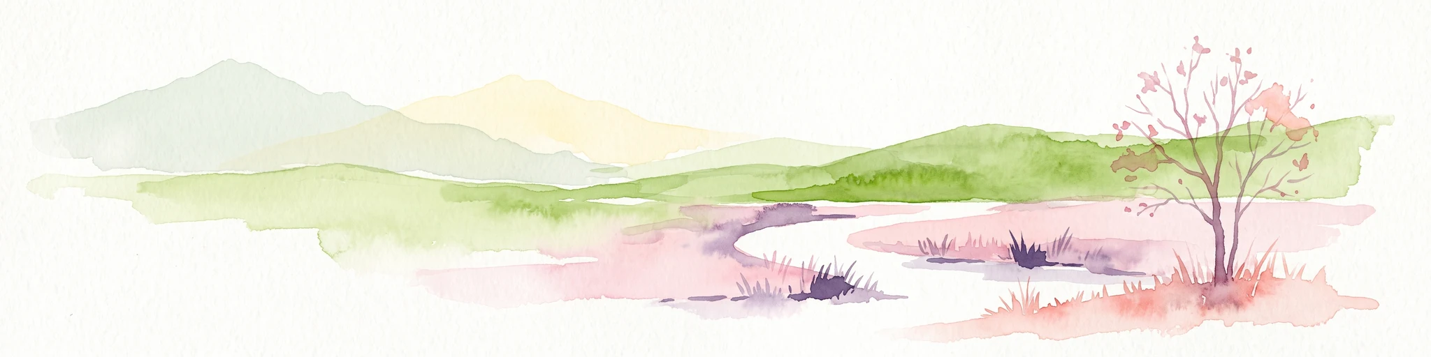
A horizontal watercolor painting showing rolling green hills, a winding stream in the foreground, and a single tree on the right.
Protected landscapeRhein-Neckar-Kreis
About 6.3 km away#3 closest

South

Odenwald Protected Landscape: Geography and Regional Mapping in Rhein-Neckar-Kreis

Exploring the characteristic Odenwald mountain terrain and valley systems

This protected landscape encompasses over 6,000 hectares of diverse topography in northern Baden-Württemberg. The terrain features a classic Odenwald relief, defined by narrow V-shaped valley notches, riparian woodlands, and structural mosaics of forest and meadow. Gain insight into the geographic and ecological character of these protected stream catchments and ridgelines.

Area
60.775 km²
Established
1996
IUCN
V
A soft, horizontal watercolor painting depicting a meandering stream flowing through green meadows and rolling hills under a pale sky.
Nature reserveHesse
About 6.7 km away#4 closest

East

Finkenbachtal bei Finkenbach Nature Reserve: Mapped Brook Valleys of the Odenwald

Protected stream corridor and floodplain meadows in southern Hesse

Finkenbachtal bei Finkenbach preserves a compact, ecologically intact valley system characterized by meandering sandstone brook morphology and traditional floodplain meadow management. This protected area serves as a significant link in the regional Odenwald stream network, illustrating the intersection of low mountain forest and valley floor vegetation dynamics.

Area
0.276 km²
Established
1981
Relief
Upland
Climate
Temperate
A wide watercolor illustration showing a river curving through a grassy valley with trees and hills in the background.
Nature reserveHessen
About 8.9 km away#5 closest

Northwest

In der Erbach bei Mörlenbach Nature Reserve: Protected Odenwald Stream Valley

Regional geography and habitat mapping in southern Hessen

The In der Erbach bei Mörlenbach nature reserve preserves a well-defined side-valley ecosystem within the broader Odenwald landscape. Its protected boundaries encompass a moisture-rich corridor featuring wet meadows, reedbeds, and forest edges that exemplify the traditional cultural geography of the Weschnitz river basin in southern Germany.

Area
0.197 km²
Established
1997
IUCN
IV
Relief
Upland
A wide watercolor painting showing rolling green hills and trees with pale pink and yellow hues across a valley landscape.
Nature reserveHessen
About 9.9 km away#6 closest

Northeast

Rotes Wasser von Olfen Nature Reserve: Protected Wetland and Odenwald Geography

A unique bog and iron-rich stream landscape in Hessen, Germany.

Rotes Wasser von Olfen preserves a rare, small-scale mosaic of transitional bog and wet meadow vegetation within the Odenwald range. This protected site features reddish, iron-rich seepage waters and provides essential habitat for specialized flora and dragonfly populations amidst a surrounding forested mountain landscape.

Area
0.121 km²
Established
1980
IUCN
IV
Relief
Upland
Watercolor painting of a gentle, rolling green landscape with sparse trees and distant hills on a white background.
Nature reserveHesse
About 11 km away#7 closest

East

Jakobsgrund bei Gammelsbach Nature Reserve: Geographic Atlas and Park Boundary Mapping

Protected sandstone valley landscapes in southern Hesse

This nature reserve in the Odenwald hills provides a concentrated example of traditional valley land use. The area features a sharp contrast between dry south-facing slopes and damp, stream-carved lowlands, creating a botanical hotspot within the regional geography of Hesse, Germany.

Area
0.095 km²
Established
1996
IUCN
IV
Relief
Upland
Watercolor painting of a green wetland landscape with a winding stream and distant hills in soft pastel colors.
Nature reserveHesse
About 12 km away#8 closest

Northwest

Albersbacher Riedwiesen Nature Reserve: Mapped Geography and Protected Landscapes in Hesse

A detailed atlas view of the Albersbach stream valley conservation corridor.

Situated in the Weschnitz valley region of Hesse, the Albersbacher Riedwiesen nature reserve offers a concentrated look at traditional Odenwald landscapes. The area protects a unique combination of wet meadows, reedbeds, and dry grasslands that follow the natural meandering course of the Albersbach stream, providing a vital study in local geomorphology and conservation geography.

Area
0.124 km²
Established
1996

Common questions about visiting, size, designation, and location context for Eiterbachtal von Wald-Michelbach

Eiterbachtal von Wald-Michelbach FAQs for park facts, access, geography, and protected area context

Find quick answers about Eiterbachtal von Wald-Michelbach, including protected-area facts, park geography, trail and visitor context, and how the park fits into its surrounding country and regional landscape.
MoriAtlas Explorer

Continue Your Protected Areas Search Across the Global Atlas

Deepen your exploration by continuing the structured search for national parks and protected areas worldwide. Utilize the comprehensive filtering capabilities to compare different conservation landscapes and refine your understanding of global park geography. Discover more about the distribution and characteristics of protected natural areas.

Global natural geography