Mori Atlas logo
Park earthquake history

Reviewing documented epicentres and magnitude trends near the protected Muschelkalk ridge.

Historical Earthquake Records and Seismic Data for the Ermschwerder Heegen Nature Reserve

Review a structured compilation of seismic events recorded within the vicinity of Ermschwerder Heegen in northern Hesse. The data catalogue highlights historical earthquakes identified by their epicentre proximity to the reserve, providing researchers and geography enthusiasts with precise event dates, recorded magnitudes, and depth measurements for the surrounding Werra valley area.

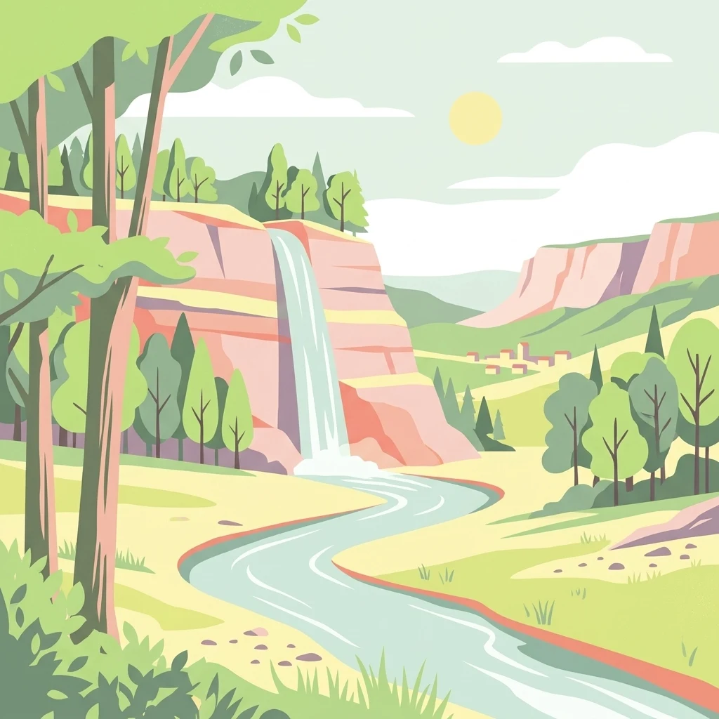
A flat-style digital illustration showing a winding river flowing through a valley between tiered limestone cliffs with a waterfall, surrounded by trees and a sunlit sky.

A Muschelkalk ridge above the Werra valley, sheltering ancient woodland, rare orchids, and one of Germany's most significant floodplain marshlands.

Ermschwerder Heegen

Ermschwerder Heegen is a small protected nature reserve in northern Hesse, Germany, set on a Muschelkalk ridge that projects into the lower Werra valley near the town of Witzenhausen. The roughly 37 hectare area combines ancient mixed beech and oak forest, a striking spring-fed marsh known as the Franzosenried, calcareous dry grasslands, traditional orchard meadows, and small agricultural plots, forming a compact mosaic of habitats created and shaped by centuries of low-intensity land use. The reserve was designated as a Naturschutzgebiet in December 1985 and later incorporated into the European Natura 2000 network as a Flora-Fauna-Habitat site, protecting habitat types such as Waldmeister beech forest and orchid-rich calcareous beech forest. It is particularly valued for its exceptional display of liverworts in early spring, a nationally important floodplain plant community, and one of the most species-rich butterfly assemblages in the Werra-Meißner-Kreis. Beyond its ecological significance, Ermschwerder Heegen illustrates how historical forms of woodland management, orchard husbandry, and extensive grassland use have left a heritage of habitat diversity that has become increasingly rare in the modern agricultural landscape.

Location
Germany
Park type
Nature reserve
Established
1985
Area
0.4 km²
Ermschwerder Heegen Protected Area Atlas

Sort Ermschwerder Heegen records by magnitude, date, depth, and distance

Study earthquake observations associated with Ermschwerder Heegen

The Ermschwerder Heegen catalogue derives earthquake associations from epicentres and site distance, not assumed boundary occurrence. Dates, magnitudes, depths, locations, distance measurements, and sources enable historical review without attributing local effects, claiming seismic causation, defining present hazard, or forecasting future activity.

Sort by
Magnitude
Location

This page describes catalogued earthquakes associated with the park by epicentre location and distance. It does not establish causation, assess current danger, or predict future earthquakes.

No earthquake records match the current filters

Park atlas

Leave Ermschwerder Heegen earthquake records for new destinations

Discover other protected parks beyond Ermschwerder Heegen

A separate park collection becomes available after the earthquake records associated with Ermschwerder Heegen. Those destinations are not portrayed as sharing site character, designation, earthquake data, geological conditions, proximity, seismic significance, hazards, risk, or matching information depth.
A horizontal watercolor painting showing a winding river flowing through a lush valley with forested hills in the background.
Protected areaHesse
0.5 km away#1 closest

East

Freudenthal bei Witzenhausen Protected Landscape and Wetland Geography in Hesse

A restored gravel pit wetland system in the northern Hesse Werra valley.

Freudenthal bei Witzenhausen represents a high-value conservation landscape within Hesse, serving as a primary site for breeding and migratory waterbirds. The reserve comprises three interconnected quarry lakes surrounded by alluvial woodland, ruderal vegetation, and meadows. This habitat mosaic is part of the Natura 2000 network, providing essential ecological connectivity within the riverine corridor of the lower Werra valley.

Area
0.76 km²
Established
1980
Relief
Lowland
Climate
Temperate
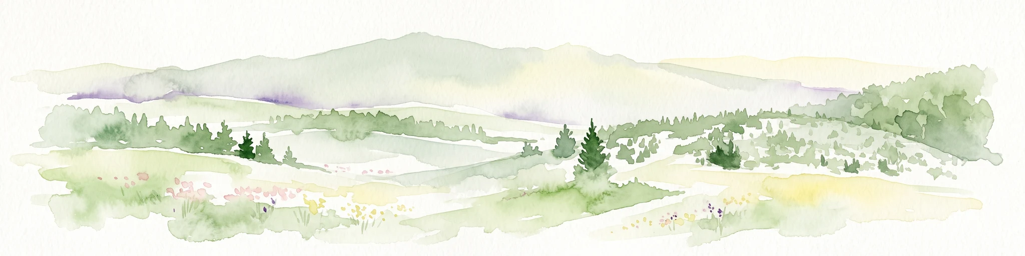
A horizontal watercolor illustration depicting rolling green hills, scattered trees, and soft mountain silhouettes against a pale sky.
Protected areaGermany
3 km away#2 closest

South

Kalkmagerrasen bei Roßbach: Protected Calcareous Grassland and Juniper Landscape in Germany

Geographic atlas and protected area overview in Hesse

Kalkmagerrasen bei Roßbach consists of five distinct plots that protect rare Enzian Schillergras Rasen communities on shallow Zechstein limestone soils. This site remains a critical stronghold for diverse orchid populations and protected butterfly species within the Werra Meißner region. The mosaic of juniper, flowering herbs, and historic cherry orchards creates a unique Mediterranean character rarely found in central German hill country.

Area
0.551 km²
Established
1996
Relief
Upland
Climate
Temperate
Protected areaEllerode
4 km away#3 closest

North

Kreideberg bei Ellerode Protected Area: Geography, Boundaries, and Landscape Map

A diverse calcareous forest habitat in northern Hesse

The Kreideberg bei Ellerode reserve showcases a unique geological character with its chalk-influenced substrate and rich botanical communities. This protected landscape encompasses old-growth beech stands, semi-dry grasslands, and rare calcareous spring features. The site represents an essential, compact habitat corridor within the broader Werra-Meißner-Kreis regional geography.

Area
0.571 km²
Established
1995
Relief
Upland
Climate
Temperate
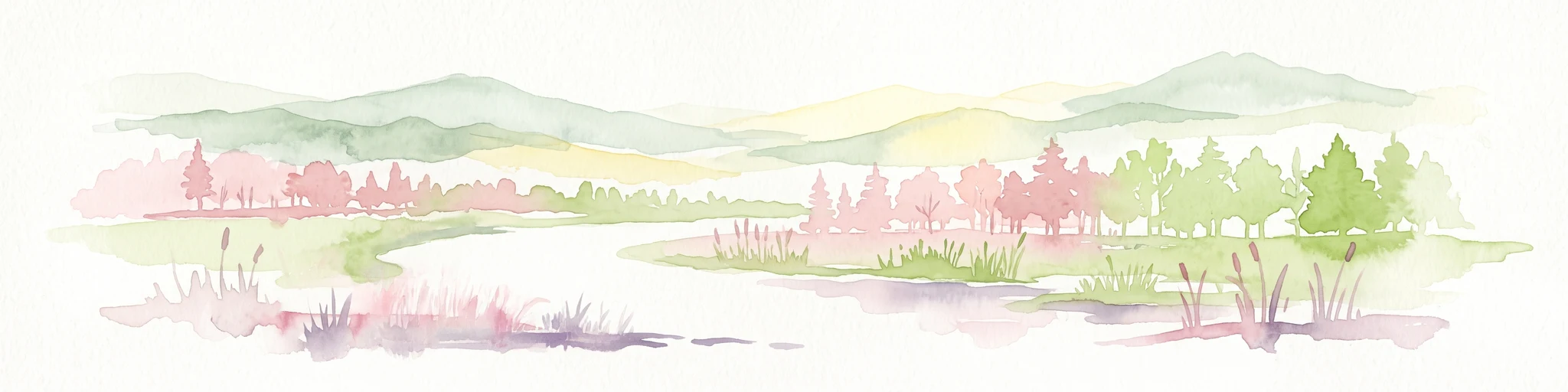
Watercolor painting of a pastoral landscape with light green hills in the distance, a field with flowering pink trees, and a pale green meadow in the foreground.
Nature reserveWerra-Meißner-Kreis
6.9 km away#4 closest

Southeast

Ebenhöhe-Liebenberg Nature Reserve: Geography and Protected Habitat Mapping

Protected calcareous forests and dry grassland mosaic

Explore the mapped boundaries and natural terrain of the Ebenhöhe-Liebenberg nature reserve. This site provides a critical habitat mosaic including orchid-rich beech woodlands, nutrient-poor grasslands, and sandstone outcrops that form a significant conservation area within the Hessian highlands.

Area
142.48 km²
Established
1995
IUCN
IV
Relief
Upland
A horizontal watercolor painting depicting a soft, atmospheric landscape with rolling green hills, a winding river or water feature, and distant pale mountains under a hazy, pastel sky.
Protected landscapeLower Saxony
About 9.9 km away#5 closest

West

Naturpark Münden Protected Landscape: Geography and Regional Mapping in Lower Saxony

Forested ridges and river valleys in southern Germany

Naturpark Münden offers a detailed look at the central German low mountain range. Discover the mapping of the Kaufunger Wald and Bramwald, the significance of the Fulda and Werra river confluences, and the structure of this historically significant protected landscape located in Lower Saxony.

Area
374 km²
Established
1959
Relief
Mountain
Water
Major water bodies
Watercolor painting of a mountain landscape with green slopes, coniferous forests, and rocky outcroppings under a soft, light-filled sky.
Nature reserveHesse
10 km away#6 closest

South

Meißner Nature Reserve in Northern Hesse: Mapping the Hoher Meißner Basaltic Massif

A comprehensive look at forest wilderness, bogs, and volcanic geology

Covering roughly 930 hectares, the Meißner nature reserve in northern Hesse protects an ecologically distinct upland landscape. The area features a significant basalt plateau, ancient scree slopes, mountain meadows, and hanging spring bogs, offering a prime example of protected central German topography and forest wilderness.

Area
9.322 km²
Established
1989
IUCN
IV
Relief
Mountain
A soft watercolor illustration depicting a winding river landscape with lush trees and rolling hills in the background.
Nature reserveLandkreis Eichsfeld
About 11 km away#7 closest

Southeast

Kelle, Teufelskanzel Nature Reserve: Geographic Overview and Protected Area Atlas

Steep slopes and sandstone ridges in Landkreis Eichsfeld

Situated along the Höheberg ridge in Thuringia, Kelle, Teufelskanzel represents a vital 200 hectare nature reserve. Its geography is defined by deep V-shaped valleys, dramatic rock outcrops like the Teufelskanzel, and a dense mix of deciduous forests that form part of the historic Inner German Border conservation zone.

Area
2.002 km²
Established
1996
IUCN
IV
Relief
Mountain
A soft, light-colored watercolor painting of a rolling hilly landscape with sparse trees and open grassy meadows.
Nature reserveWerra-Meißner-Kreis
About 13 km away#8 closest

South

Bühlchen bei Weißenbach Nature Reserve: Protected Limestone Grasslands in Werra-Meißner-Kreis

Geographic atlas of a historic juniper heath and limestone hilltop.

Bühlchen bei Weißenbach represents a rare, semi-open cultural landscape shaped by centuries of sheep grazing on shell limestone summits. This nature reserve, integrated into the Natura 2000 network, offers a dense concentration of rare orchids and gentians across its rocky, nutrient-poor slopes, serving as a critical site for regional ecological study and landscape preservation.

Area
0.08 km²
Established
1985
IUCN
IV
Relief
Mountain
MoriAtlas Explorer

Explore the Protected Landscapes and Geography of Ermschwerder Heegen

Continue your geographic exploration of the Werra-Meißner-Kreis by examining the mapped boundaries and natural terrain of Ermschwerder Heegen. This MoriAtlas entry provides insights into the reserve's unique ecosystem, tracing the connections between its limestone ridge and the surrounding floodplain vegetation.