Mori Atlas logo
Park earthquake history

A historical repository of recorded seismic activity within the vicinity of the park boundaries.

Fiordland National Park Earthquake History: Catalogued Seismic Events and Geographic Records

This repository provides a detailed catalogue of historical earthquakes recorded in the vicinity of Fiordland National Park. Every entry captures seismic events associated with the region by epicentre distance, offering researchers and visitors clear access to event dates, recorded magnitudes, and depth measurements. The collection organizes data for geographical reference to understand the historical context of local seismic patterns across the South Island terrain.

An illustration of a deep glacial valley with cascading waterfalls, a flowing river, and dense forest, characteristic of Fiordland National Park.

New Zealand's largest national park, protecting glacier-carved fiords and temperate rainforests in the southwestern South Island

Fiordland National Park

Fiordland National Park is the largest of New Zealand's thirteen national parks, encompassing 12,607 square kilometres of spectacular southwestern South Island terrain. The park is defined by its dramatic glacier-carved fiords, with Milford Sound / Piopiotahi being the most famous, along with Doubtful Sound / Patea and Tamatea / Dusky Sound. The southern ranges of the Southern Alps dominate the interior, creating a highly inaccessible landscape of steep valleys, towering peaks exceeding 2,500 metres, and remote wilderness. The park's extraordinary high rainfall, exceeding seven metres annually, supports the largest area of unmodified vegetation in New Zealand, including vast temperate rainforests of silver beech and mountain beech. Established in 1952, Fiordland forms the core of the Te Wāhipounamu World Heritage Area, recognized in 1990 for its outstanding natural significance. The park serves as a critical refuge for many of New Zealand's most endangered native species, including the takahē, kākāpō, mōhua, and southern brown kiwi.

Location
New Zealand
Park type
National park
Established
1952
Area
12,607 km²
Highest point
2,500 m
Fiordland National Park Protected Landscape

Track historical seismic activity based on epicentre distance and event magnitude

Searchable Seismic Event Catalog for Fiordland National Park

A structured catalog compiles historical seismic activity recorded within the regional vicinity of Fiordland National Park based on calculated epicentre distance. Each record in the database provides factual details including the date, magnitude, depth, reported location, relative distance from the park, and official source access.

Sort by
Magnitude
Location

This page describes catalogued earthquakes associated with the park by epicentre location and distance. It does not establish causation, assess current danger, or predict future earthquakes.

No earthquake records match the current filters

Park atlas

Navigate additional protected natural areas and global conservation landscapes

Discover Other National Parks and Protected Areas Beyond Fiordland

Transitioning from the regional features of Fiordland National Park opens up a wider catalog of global conservation destinations and diverse environments. Geographic search filters and regional indexes allow travelers to browse mapped boundaries, check official designations, and compare distinct park ecosystems.
Marine protected areaFiordland
Park boundaries overlap#1 closest

North

Hawea (Clio Rocks) Marine Reserve: Protected Marine Geography in Fiordland, New Zealand

Mapping vertical rock walls and stratified fiord water ecosystems.

Hawea (Clio Rocks) Marine Reserve is an ecologically significant marine protected area situated within the deep waters of Hāwea / Bligh Sound. The reserve is defined by its dramatic vertical rock walls, tidal current channels, and the complex water stratification that sustains diverse black coral and reef communities. It offers a unique window into the geological and marine processes that have shaped the rugged coastal landscape of New Zealand's Fiordland.

Area
4.11 km²
Established
2005
IUCN
Ia
Relief
Mountain
Marine protected areaFiordland
Park boundaries overlap#2 closest

Northwest

Kahukura (Gold Arm) Marine Reserve: Marine Protected Area and Fiordland Geographic Atlas

Submerged rocky reefs and vertical rock wall landscapes

Located in the heart of New Zealand, Kahukura (Gold Arm) Marine Reserve provides a vital map of protected coastal terrain. Its unique environment features freshwater caps, tannin-stained deep water, and diverse marine topography ranging from sheltered basin ecosystems to vertical cliff structures. This marine area offers deep insight into the complex geology and conservation dynamics of the Fiordland region.

Area
4.64 km²
Established
2005
Relief
Mixed relief
Climate
Temperate
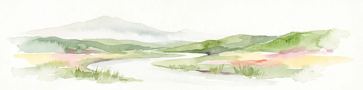
Watercolor painting of a green, hilly landscape with a winding river or inlet and pale, misty mountains in the background.
Marine protected areaFiordland
Park boundaries overlap#3 closest

West

Kutu Parera (Gaer Arm) Marine Reserve: Fiordland Protected Marine Landscape Atlas

Mapped marine boundaries, stratified fiord ecology, and coastal terrain analysis

Explore the structured geography of Kutu Parera (Gaer Arm) Marine Reserve, a 433-hectare protected area located within the steep, mountain-flanked fjords of New Zealand. Gain insight into its complex underwater features, including vertical rock walls, estuarine basins, and stratified water columns that define this unique marine environment within the Fiordland region.

Area
4.33 km²
Established
2005
Relief
Mixed relief
Climate
Temperate
Marine protected areaFiordland
Park boundaries overlap#4 closest

West

Moana Uta (Wet Jacket Arm) Marine Reserve: Mapped Protected Landscapes in Fiordland

Exploring unique fiord stratification and dense marine coral habitats

Located in the remote southwestern reaches of New Zealand, Moana Uta (Wet Jacket Arm) Marine Reserve preserves a complete fiord system. The area is notable for its exceptional physical conditions, including high black coral density and a distinct freshwater surface layer that sustains diverse underwater communities across steep rock walls, reefs, and deep basins.

Area
20.07 km²
Established
2005
Relief
Lowland
Climate
Temperate
A stylized, flat-design illustration showing a winding river flowing through a green valley toward snow-capped mountains in the distance, framed by coniferous trees and rocky outcrops.
National parkOtago
Park boundaries overlap#5 closest

Northeast

Mount Aspiring National Park

Explore the U-shaped valleys and mapped boundaries of this iconic national park.

Mount Aspiring National Park, in Otago, New Zealand. Landscapes: mountains, valleys, and glaciers.

Area
3,562 km²
Established
1964
IUCN
II
Relief
Mountain
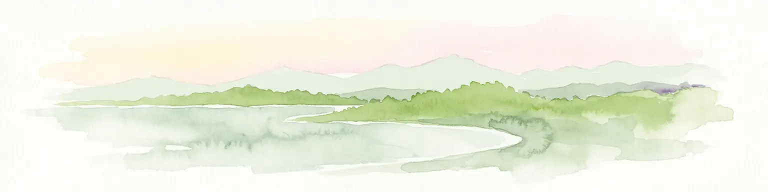
A soft watercolor painting depicting a calm shoreline with rolling hills in the background under a pale sky.
Marine protected areaFiordland
Park boundaries overlap#6 closest

North

Piopiotahi (Milford Sound) Marine Reserve: Mapped Protected Area and Fiord Geography

A signature marine landscape within New Zealand's Fiordland region.

Piopiotahi (Milford Sound) Marine Reserve protects a distinct underwater environment characterized by dramatic vertical rock walls and deep basins. By examining the geographic boundaries and oceanographic layering of this Fiordland site, users can better understand the interplay between the steep forested cliffs above and the thriving coral and marine wildlife habitats below the surface.

Area
6.9 km²
Established
1993
Relief
Mountain
Climate
Temperate
A soft watercolor painting showing a panoramic view of a pale, misty landscape with distant mountains and a calm, light-colored shoreline with patches of green vegetation in the foreground.
Marine protected areaFiordland
Park boundaries overlap#7 closest

West

Taipari Roa (Elizabeth Island) Marine Reserve: Fiordland Marine Landscape and Atlas Map

Protected marine terrain and glacial fjord geography

Taipari Roa (Elizabeth Island) Marine Reserve is a protected marine area situated within the complex fjord network of Doubtful Sound. The reserve is characterized by steep underwater rock walls, deep kelp forests, and a unique freshwater cap that allows rare corals and glass sponges to thrive at shallow depths. This geographic overview examines the reserve's protected status and its structural role within the broader Fiordland ecosystem, highlighting the vertical aquatic terrain and surrounding islet environments.

Area
6.13 km²
Established
2005
Relief
Lowland
Climate
Temperate
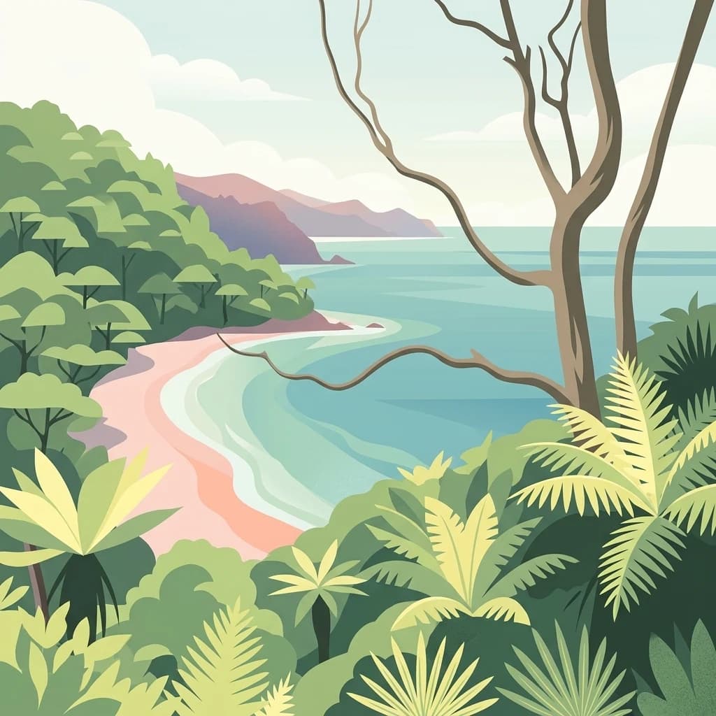
A digital illustration of a coastal landscape with dense green forest and ferns in the foreground, looking out over a light-colored sandy beach and calm turquoise ocean water, with distant rolling hills under a soft sky.
National parkNew Zealand
57 km away#8 closest

South

Rakiura National Park: New Zealand's Remote Protected Wilderness & Landscape Atlas

Explore its rugged terrain and unique subantarctic ecosystem.

Rakiura National Park encompasses the majority of Stewart Island, offering a unique glimpse into one of New Zealand's most remote and undisturbed natural environments. This protected landscape features rugged forested hills, extensive coastlines with isolated beaches, and is globally recognized for its abundant kiwi populations. Discover the park's geographic setting and its significance as a protected area for both wildlife and cultural heritage within the broader atlas of New Zealand's natural wonders.

Area
1,399.6 km²
Established
2002
IUCN
II
Relief
Lowland
MoriAtlas Explorer

Fiordland National Park

Explore the map, landscapes, and protection details for Fiordland National Park.