Mori Atlas logo
Park earthquake history

A structured catalogue of registered seismic events within the regional geography of northern Hesse.

Recorded Earthquake History and Seismic Records near Freudenthal bei Witzenhausen

This collection presents a historical record of seismic events that have occurred within proximity to the Freudenthal bei Witzenhausen protected area. Each entry maps an earthquake by its epicentre location, providing essential data such as magnitude, depth, and calculated distance to the site. The records offer a transparent view of the regional seismic context in the Werra valley and surrounding landscape of Hesse.

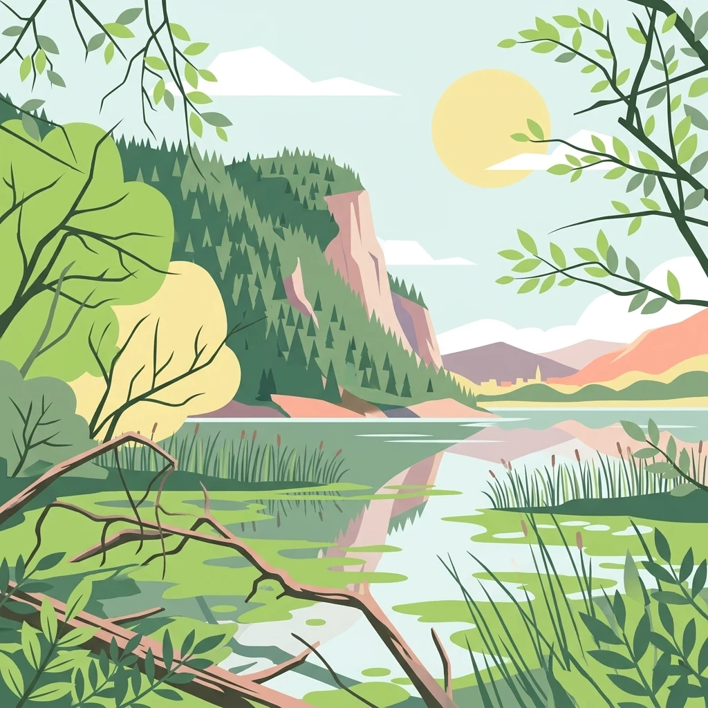
A flat-design illustration featuring a calm body of water reflecting a large hill covered in evergreen trees, with foreground vegetation including fallen branches and reeds.

A reclaimed gravel-pit landscape in the lower Werra valley, restored as a refuge for waterbirds and rare wetland life.

Freudenthal bei Witzenhausen

Freudenthal bei Witzenhausen is a protected nature reserve in the lower Werra valley of northern Hesse, in central Germany. It lies near the town of Witzenhausen and the village of Ermschwerd, within the Werra-Meißner-Kreis district, and is part of the broader landscape of the Geo-Naturpark Frau-Holle-Land. The reserve originated as a former gravel-extraction site. After mining ended in the mid-1990s, the resulting pit lakes, gravel banks, and adjacent farmland have been managed as a sanctuary for breeding, migrating, and wintering waterbirds. Around three quarry lakes covering roughly twenty-one hectares of open water, the reserve combines reedbeds, alluvial woodland, ruderal vegetation, meadows, hedges, and orchards into a mosaic that supports more than twenty Red List bird species and a significant dragonfly and butterfly fauna. Freudenthal has been protected since 1980 as a nature reserve and since 2004 as a Flora-Fauna-Habitat site within the European Natura 2000 network. It lies entirely within the Auenverbund Werra landscape protection area, a stretch of the Werra valley recognized as a national biodiversity hotspot.

Location
Germany
Park type
Protected area
Established
1980
Area
0.8 km²
Freudenthal bei Witzenhausen Protected Area Atlas

Review Freudenthal bei Witzenhausen events by depth and distance

Study the earthquake catalogue around Freudenthal bei Witzenhausen

The Freudenthal bei Witzenhausen record links earthquakes through epicentre coordinates and site distance, without automatic boundary placement. Dates, magnitudes, depths, location labels, distance measures, and sources support historical inquiry without assigning local landscape influence, asserting seismic causation, describing present hazard, or forecasting activity.

Sort by
Magnitude
Location

This page describes catalogued earthquakes associated with the park by epicentre location and distance. It does not establish causation, assess current danger, or predict future earthquakes.

No earthquake records match the current filters

Park atlas

Expand past Freudenthal bei Witzenhausen earthquake records

Browse additional parks after Freudenthal bei Witzenhausen

Continue from Freudenthal bei Witzenhausen’s earthquake section into a broader selection of protected places across MoriAtlas. The cards lead beyond this restored Werra gravel-pit wetland without asserting comparable restoration history, reserve designation, wetland ecology, geographic closeness, seismic documentation, present hazard, or risk.
A minimalist watercolor painting featuring soft green trees and rolling hills in the background against a light, airy white backdrop.
Nature reserveWerra-Meißner-Kreis
0.5 km away#1 closest

West

Ermschwerder Heegen Nature Reserve: Muschelkalk Ridge and Floodplain Geography

Protected mosaic of forests, marshes, and meadows in northern Hesse

Ermschwerder Heegen preserves a compact but ecologically significant landscape in the Werra-Meißner-Kreis. Its unique topography features a limestone ridge dropping into the Werra valley, supporting a rich mixture of forest, orchard, and wetland habitats that rank among the most important in the region for biodiversity.

Area
0.37 km²
Established
1985
IUCN
IV
A horizontal watercolor illustration depicting rolling green hills, scattered trees, and soft mountain silhouettes against a pale sky.
Protected areaGermany
2.9 km away#2 closest

South

Kalkmagerrasen bei Roßbach: Protected Calcareous Grassland and Juniper Landscape in Germany

Geographic atlas and protected area overview in Hesse

Kalkmagerrasen bei Roßbach consists of five distinct plots that protect rare Enzian Schillergras Rasen communities on shallow Zechstein limestone soils. This site remains a critical stronghold for diverse orchid populations and protected butterfly species within the Werra Meißner region. The mosaic of juniper, flowering herbs, and historic cherry orchards creates a unique Mediterranean character rarely found in central German hill country.

Area
0.551 km²
Established
1996
Relief
Upland
Climate
Temperate
Protected areaEllerode
4.4 km away#3 closest

North

Kreideberg bei Ellerode Protected Area: Geography, Boundaries, and Landscape Map

A diverse calcareous forest habitat in northern Hesse

The Kreideberg bei Ellerode reserve showcases a unique geological character with its chalk-influenced substrate and rich botanical communities. This protected landscape encompasses old-growth beech stands, semi-dry grasslands, and rare calcareous spring features. The site represents an essential, compact habitat corridor within the broader Werra-Meißner-Kreis regional geography.

Area
0.571 km²
Established
1995
Relief
Upland
Climate
Temperate
Watercolor painting of a pastoral landscape with light green hills in the distance, a field with flowering pink trees, and a pale green meadow in the foreground.
Nature reserveWerra-Meißner-Kreis
5 km away#4 closest

Southeast

Ebenhöhe-Liebenberg Nature Reserve: Geography and Protected Habitat Mapping

Protected calcareous forests and dry grassland mosaic

Explore the mapped boundaries and natural terrain of the Ebenhöhe-Liebenberg nature reserve. This site provides a critical habitat mosaic including orchid-rich beech woodlands, nutrient-poor grasslands, and sandstone outcrops that form a significant conservation area within the Hessian highlands.

Area
142.48 km²
Established
1995
IUCN
IV
Relief
Upland
A soft watercolor illustration depicting a winding river landscape with lush trees and rolling hills in the background.
Nature reserveLandkreis Eichsfeld
About 9.2 km away#5 closest

Southeast

Kelle, Teufelskanzel Nature Reserve: Geographic Overview and Protected Area Atlas

Steep slopes and sandstone ridges in Landkreis Eichsfeld

Situated along the Höheberg ridge in Thuringia, Kelle, Teufelskanzel represents a vital 200 hectare nature reserve. Its geography is defined by deep V-shaped valleys, dramatic rock outcrops like the Teufelskanzel, and a dense mix of deciduous forests that form part of the historic Inner German Border conservation zone.

Area
2.002 km²
Established
1996
IUCN
IV
Relief
Mountain
Watercolor painting of a mountain landscape with green slopes, coniferous forests, and rocky outcroppings under a soft, light-filled sky.
Nature reserveHesse
9.7 km away#6 closest

South

Meißner Nature Reserve in Northern Hesse: Mapping the Hoher Meißner Basaltic Massif

A comprehensive look at forest wilderness, bogs, and volcanic geology

Covering roughly 930 hectares, the Meißner nature reserve in northern Hesse protects an ecologically distinct upland landscape. The area features a significant basalt plateau, ancient scree slopes, mountain meadows, and hanging spring bogs, offering a prime example of protected central German topography and forest wilderness.

Area
9.322 km²
Established
1989
IUCN
IV
Relief
Mountain
A horizontal watercolor illustration depicting gentle rolling hills, grassy meadows, and distant mountain silhouettes in muted pastel tones.
Nature reserveThuringia
11 km away#7 closest

East

Röhrsberg - Hasenwinkel - Mühlberg: Mapping the Protected Landscapes of Thuringia

Geological ridge systems and native forest habitat networks.

The Röhrsberg - Hasenwinkel - Mühlberg nature reserve represents a significant protected area in Thuringia, characterized by the juxtaposition of Muschelkalk limestone hills and Zechstein dolomite ridges. This site offers a concentrated view of regional terrain, shifting from closed beech forests to open juniper heaths. It serves as an essential geographic reference for understanding the ecological mosaic of the lower Werra hill country.

Area
4.51 km²
Established
1999
IUCN
IV
Relief
Upland
A horizontal watercolor painting depicting a soft, atmospheric landscape with rolling green hills, a winding river or water feature, and distant pale mountains under a hazy, pastel sky.
Protected landscapeLower Saxony
About 11 km away#8 closest

West

Naturpark Münden Protected Landscape: Geography and Regional Mapping in Lower Saxony

Forested ridges and river valleys in southern Germany

Naturpark Münden offers a detailed look at the central German low mountain range. Discover the mapping of the Kaufunger Wald and Bramwald, the significance of the Fulda and Werra river confluences, and the structure of this historically significant protected landscape located in Lower Saxony.

Area
374 km²
Established
1959
Relief
Mountain
Water
Major water bodies
MoriAtlas Explorer

Discover the Mapped Terrain of the Freudenthal bei Witzenhausen Nature Reserve

Continue exploring the protected boundaries and natural geography of Freudenthal bei Witzenhausen. This profile offers detailed insights into the wetland terrain and riverine ecosystems that define this significant conservation area in northern Hesse, curated for those interested in landscape-scale ecological mapping.