
Why Fuchskaute stands out
Fuchskaute is best known as the highest peak of the entire Westerwald range and as a reference site for upland heath conservation in central-western Germany. Its summit plateau is a textbook example of a basalt-capped mountain whose volcanic origin dates to the late Oligocene and early Miocene, and whose present shape was sculpted by long-term differential erosion of basalt over softer Devonian rocks. The area is equally notable for its ecological diversity. Alpine-style meadows and highland heath that would normally appear at much greater elevations have developed here because of the harsh local climate and centuries of grazing (Hutewald tradition), supporting a remarkable concentration of flowering plants, butterflies, and breeding birds, all under overlapping nature reserve, FFH, and European bird directive protections.
Fuchskaute landscape and geographic character
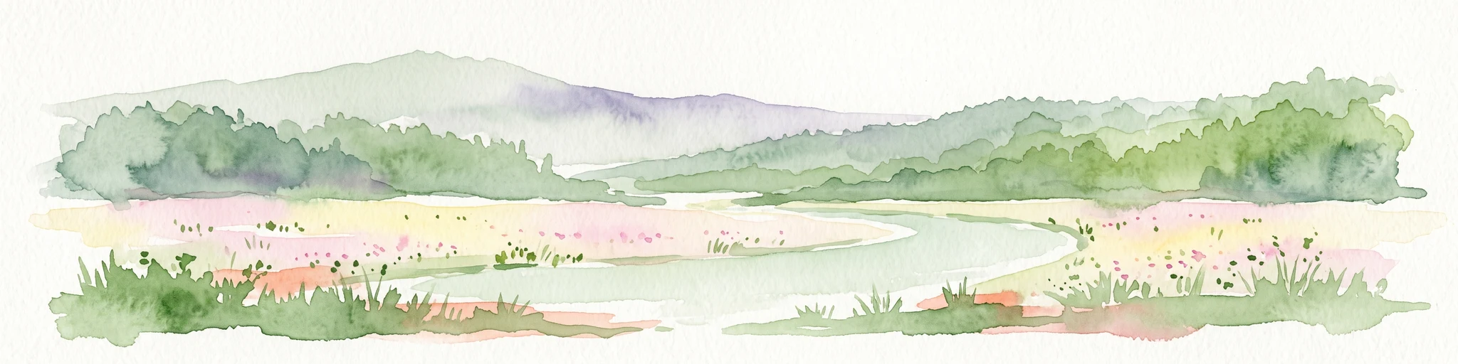
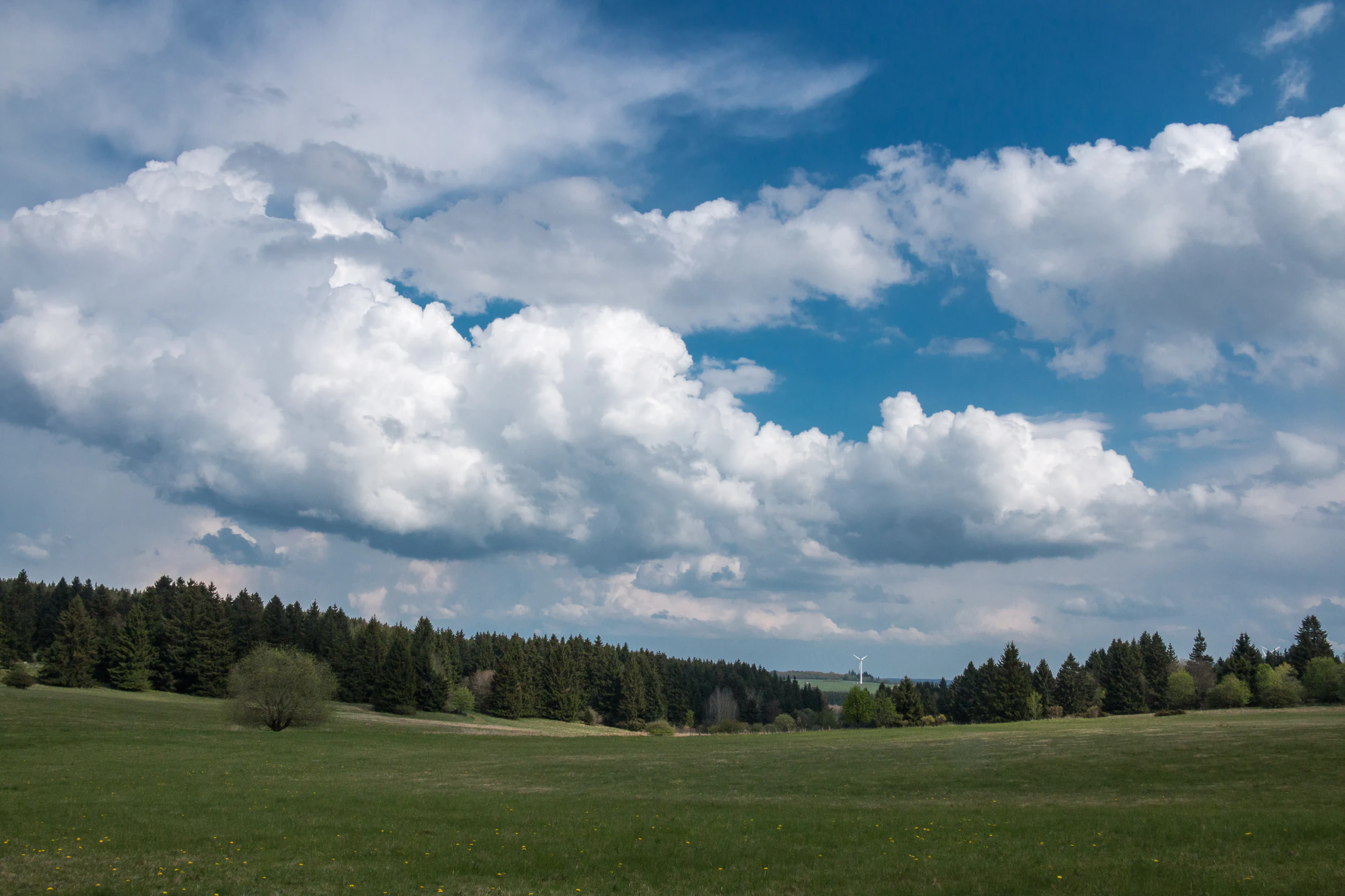
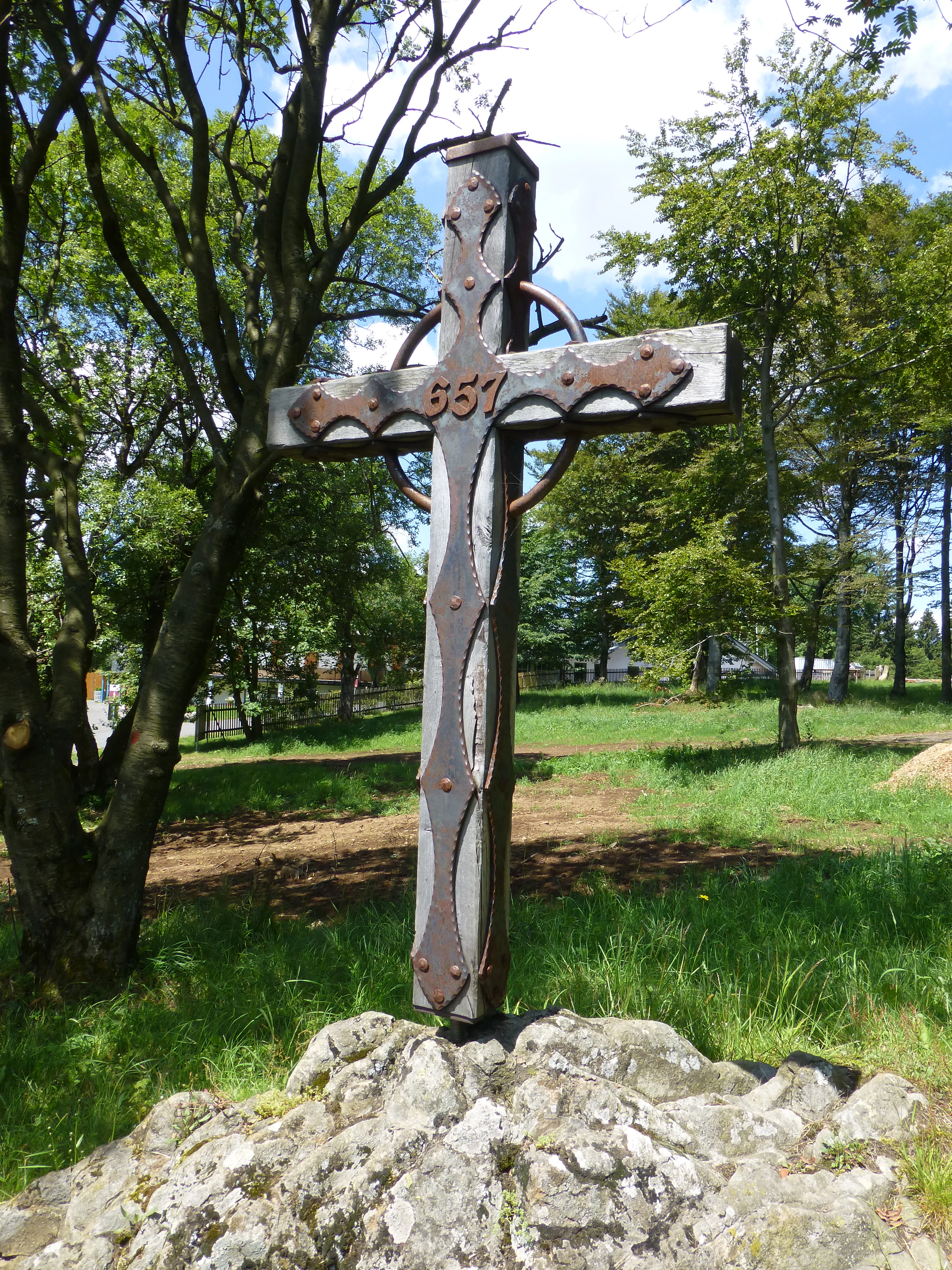
Fuchskaute rises above the wide, flat Hoher Westerwald plateau as one of its most prominent residual summits. The mountain is not a sharp peak but a gently rounded double summit, with the Alteberg (656.4 m) to the north and the slightly higher southern summit (657.3 m) split into two very close sub-peaks; between them stretches an open saddle that forms the visual center of the landscape. Because the basalt cap weathers into a platy structure rather than the famous vertical basalt columns seen elsewhere in the region, the slopes near the summit show blocky, table-like outcrops and a stepped surface rather than sculptural cliffs.
Surrounding summits such as the Rompf (636.6 m) to the northwest and the Altenberg (651.4 m) to the south-southwest frame the mountain without quite matching it in elevation. From the lower ground, the Fuchskaute does not rise dramatically but instead reveals itself through long, sweeping views across a plateau landscape of forest, heath, and open valley. Important local streams originate on its flanks, including the headwaters of the Haigerbach (also known as Ketzerbach or Winterbach) on the north, the Aubach on the east, and the sources of the Nister and the Weierbach in the broader alpine neighborhood, all eventually flowing into the Dill or the Sieg drainage systems.
Fuchskaute ecosystems, habitats, and plant life
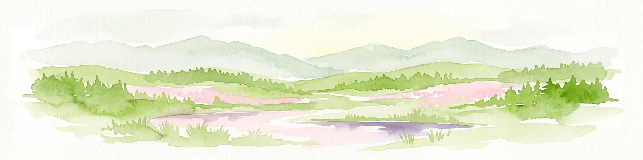
The ecological character of Fuchskaute is shaped strongly by its elevation, climate, and geological substrate. Sitting on the Hoher Westerwald plateau at well over 600 m, the mountain experiences a notably raw local climate: cool, windy, and exposed, conditions that allow plant communities of a more alpine character to persist far below the true alpine zone. A second key ecological driver is the long historical use of the area as grazing woodland (Hutewald), with open woodland, scattered trees, heaths, and meadows maintained by browsing animals over centuries.
Together, these factors have produced a remarkably species-rich mosaic of open heathland, alpine-style meadow, boggy patches, and small flushes. Surveys identify approximately 300 flowering plants and tree species, around 300 butterfly species, and roughly 50 bird species on and around the mountain. Bogs and wet heaths are notable enough in the surrounding area to be protected at the European level through the FFH site Feuchtgebiete und Heiden des Hohen Westerwaldes, of which Fuchskaute is a key component.
Fuchskaute wildlife and species highlights
Fuchskaute is recognized chiefly as a bird-rich upland, and this is the main reason the larger landscape around it is protected as a European bird protection area. The basalt plateau and its mosaic of heath, meadows, wet flushes, and scattered trees provide breeding and foraging habitat for around 50 species of birds, with the broader Westerwald bird protection area covering roughly 289 km² of surrounding land.
Although the mountain is less famous for mammals than for birds and butterflies, its name itself reflects a long-standing wildlife presence: "Fuchskaute" refers to the sleeping place of a red fox, with the suffix "kaute" designating a hollow or resting spot. Butterflies, with roughly 300 recorded species, are an exceptionally prominent group on the slopes, an unusually high number for a central German upland that reflects the continuity of flower-rich meadows and heaths under traditional grazing.
Fuchskaute conservation status and protection priorities
Fuchskaute lies at the heart of a layered conservation system stretching from local nature reserve to European network. The dedicated Fuchskaute nature reserve, designated in 1984, protects 40.16 ha of heathland on the eastern flank and on parts of the southern summit area. Layered on top, large stretches of the mountain form part of the European bird protection area Westerwald (VSG Westerwald, covering roughly 289 km² in Rhineland-Palatinate), with smaller eastern portions falling within the Hoher Westerwald bird protection area.
In terms of habitat-level protection, Fuchskaute belongs to two FFH (Habitats Directive) sites: Feuchtgebiete und Heiden des Hohen Westerwaldes (47.8 km² in Rhineland-Palatinate) on the state side, and Hoher Westerwald (19.65 km² in Hesse) on the eastern flank. Together, these designations make the mountain a core reference site for the conservation of upland heath, bog, and meadow communities in the Rhenish Massif, and a key component of the broader Westerwald ecological network.
Fuchskaute cultural meaning and human context
The cultural context of Fuchskaute is shaped above all by centuries of grazing use. The plateau was historically managed as Hutewald, a form of woodland pasture in which livestock shaped an open landscape of scattered trees, meadows, and heath, and it is precisely this long cultural management that produced the high biodiversity now legally protected. The mountain's own name is part of this cultural natural history: "Fuchskaute" combines "Fuchs" (fox) and "kaute" (a hollow or resting place), recording the summit as a traditional refuge for wildlife, particularly the red fox.
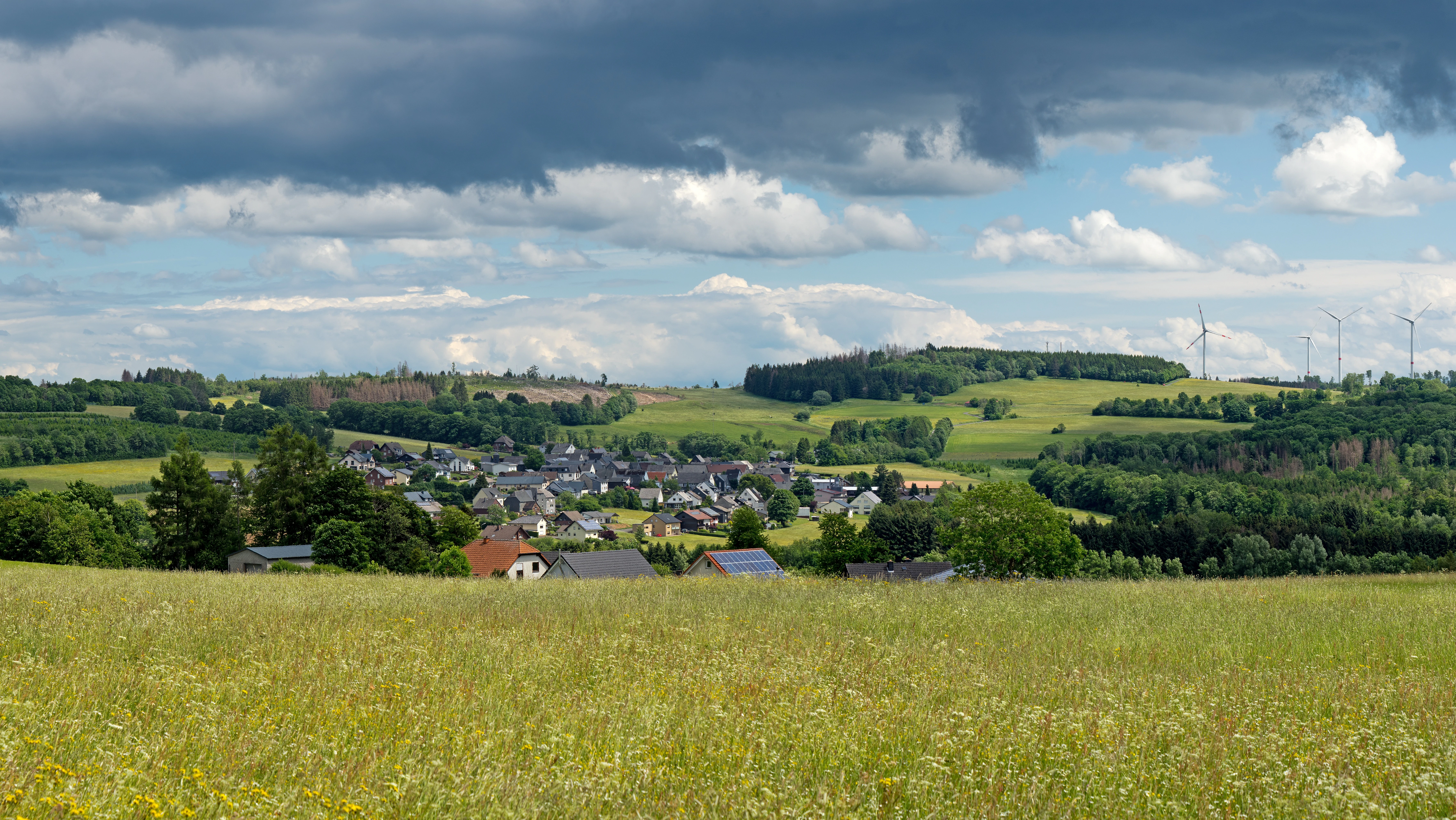
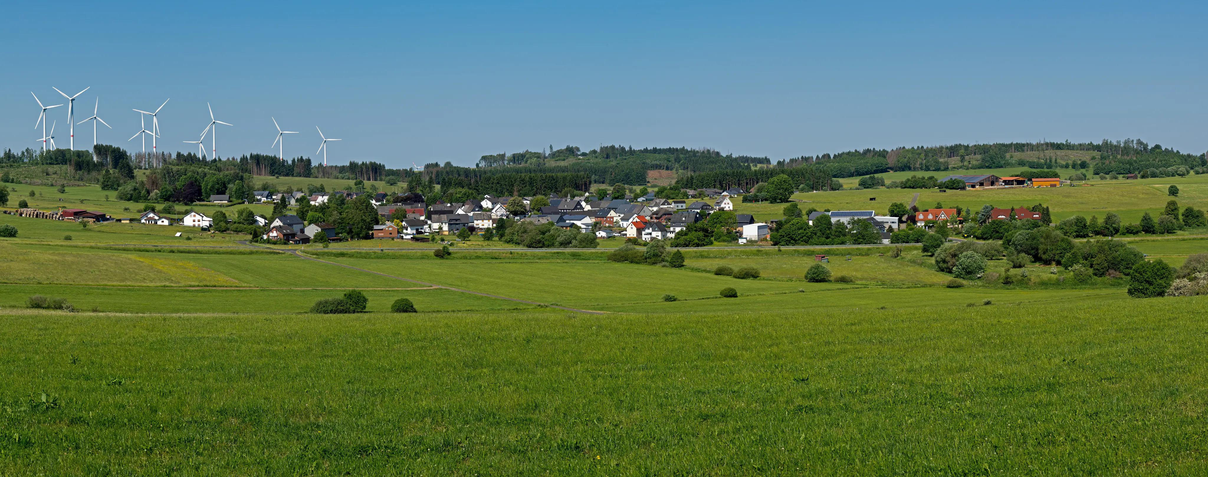
In the twentieth century, the mountain acquired additional cultural layers. Up to around 1975 or 1980, motor-paced grass-track motorcycle races (Grasbahnrennen) were held on the slopes, a regional racing tradition that ended once the environmental impacts became unacceptable. From the mid-2000s onward, the visible landscape around Fuchskaute has also been shaped by energy infrastructure: the nearby Waigandshain-Homberg wind park, with twelve turbines operating since 2004, marks the area as part of Germany's modern renewable energy landscape.
Top sights and standout views in Fuchskaute
Fuchskaute is the single highest summit of the entire Westerwald range and the highest point of the Westerwaldkreis district, a dual identity that makes it a natural focal point for the region. Its character is defined by ancient Tertiary basalt geology, an exposed upland climate unusual for its latitude, and a centuries-old grazing tradition that has produced alpine-like meadows and heaths. The mountain carries overlapping nature reserve, FFH, and European bird protection designations, making it one of the most intensively protected upland sites in the Rhenish Massif.
Equally attractive to visitors is how accessible the area remains: long-distance trails including the Westerwaldsteig and the southern loop of the Rothaarsteig cross the summit area, the European long-distance path E1 grazes its northwestern flank, and the surrounding network of about 250 km of marked hiking routes connects the summit to nearby protected heaths, the Holzbachschlucht gorge, and the Krombachtalsperre reservoir.
Best time to visit Fuchskaute
The upland plateau climate of Fuchskaute means summers remain relatively cool and can be foggy or wet, while winters bring reliable snow on the open saddles, which is why the area has long supported cross-country skiing. Late spring and early summer tend to be the most rewarding time for heather, butterfly, and meadow-flower interest, as this is when the species-rich grasslands and wet flushes reach their peak color and activity.
For hiking and panoramic views across the Westerwald plateau, late spring through early autumn tends to offer the most stable conditions, though the weather in the Hoher Westerwald can change rapidly. Visitors focused on winter recreation, including skiing on the maintained trails, often look to months with consistent snow cover. Birdwatchers typically find the breeding season from late spring into early summer to be the most productive, when the protected bird area is most active.