Mori Atlas logo
Park earthquake history

Explore historical earthquake data mapped to the Colorado Plateau landscape and canyon region

Recorded Seismic Activity and Earthquake History for Glen Canyon National Recreation Area

This collection serves as a factual repository of recorded earthquake events occurring within proximity to Glen Canyon National Recreation Area. Users can examine documented seismic history, including specific event magnitudes, epicentre coordinates, and calculated distances from the protected area, providing a clearer understanding of local seismic records on the Colorado Plateau.

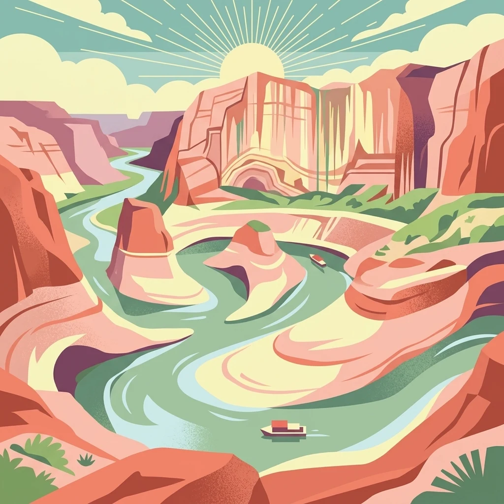
A stylized, colorful illustration of a winding river flowing through deep, layered desert canyon walls under a sunburst, with small boats on the water.

A vast reservoir-and-desert landscape straddling the Arizona, Utah border, centered on Lake Powell and the canyons of the Colorado River.

Glen Canyon National Recreation Area

Glen Canyon National Recreation Area is a large federal protected landscape in the southwestern United States, straddling the border between northern Arizona and southern Utah. It surrounds Lake Powell, the reservoir created by Glen Canyon Dam on the Colorado River, and extends through the rugged canyon country south of Canyonlands National Park. The recreation area preserves an immense stretch of high desert terrain shaped by rivers, wind, and ancient seas, with soaring sandstone cliffs, narrow side canyons, and broad slickrock benches. Unlike a strictly preserved national park, Glen Canyon NRA was created to balance public recreation with the protection of scenic, scientific, and historic values. Visitors come for houseboating, watersports, fishing, and sightseeing on Lake Powell, while also exploring tributary slot canyons and backcountry mesas. The recreation area is bordered by other iconic Colorado Plateau landscapes, including Capitol Reef, Canyonlands, Grand Staircase–Escalante, and the Navajo Nation, placing it firmly within one of the most geologically distinctive regions of the American West. The presence of the reservoir defines much of the modern experience of the recreation area, but the underlying landforms remain those of the Colorado Plateau: layered sandstones, canyon labyrinths, and arid mesas stretching toward the horizon. Glen Canyon NRA serves as both a major outdoor recreation destination and a gateway to the broader canyon country of the Four Corners region.

Location
United States of America
Park type
Protected landscape
Established
1972
Area
5,075.2 km²
Glen Canyon National Recreation Area Atlas

Review Glen Canyon National Recreation Area dates, depths, and distances

Study earthquake history near Glen Canyon National Recreation Area

Glen Canyon National Recreation Area’s search relates earthquake epicentres to the Colorado Plateau by distance, without interpreting nearby records as events within its boundary. Dates, magnitudes, depths, place descriptions, separation, and sources support historical review without conclusions about sandstone canyons, Lake Powell, present danger, causes, impacts, or future events.

Sort by
Magnitude
Location

This page describes catalogued earthquakes associated with the park by epicentre location and distance. It does not establish causation, assess current danger, or predict future earthquakes.

No earthquake records match the current filters

Park atlas

Beyond Glen Canyon National Recreation Area earthquake history

Explore more parks after Glen Canyon National Recreation Area

Beyond Glen Canyon National Recreation Area’s earthquake evidence, this section opens other protected-place pages with distinct scopes. It does not claim common Colorado Plateau canyons, Lake Powell context, recreation-area status, geographic closeness, seismic records, hazard, risk, or earthquake coverage, leaving every destination independently framed.
National parkUtah
Park boundaries overlap#1 closest

Northeast

Canyonlands National Park: A Mapped Protected Landscape in Utah's Geography

Explore its vast geography and protected area boundaries.

Canyonlands National Park stands as a significant protected entity within the state of Utah, characterized by its immense scale and dramatic geological formations. This page facilitates an atlas-style exploration of its terrain, emphasizing its mapped boundaries and its crucial role as a protected landscape. Gain a deeper appreciation for its unique geographic setting and its place within the broader regional context.

Area
1,366.21 km²
Established
1964
IUCN
II
Visitors
818.5K annual
National parkUtah
Park boundaries overlap#2 closest

North

Capitol Reef National Park: Utah National Park Protected Landscape and Geography

Explore Capitol Reef National Park's mapped terrain and boundaries.

Delve into the protected landscape and geographic identity of Capitol Reef National Park, a key national park in Utah. This resource provides detailed context on its mapped terrain and regional setting, supporting a structured understanding of protected areas for atlas exploration. Discover the specific geographic features and park boundaries that define this protected natural area.

Area
978.95 km²
Established
1971
IUCN
II
Visitors
1.4M annual
National parkArizona
Park boundaries overlap#3 closest

Southwest

Grand Canyon National Park: Arizona National Park Protected Landscape & Geography

Explore mapped boundaries and regional atlas context.

Grand Canyon National Park stands as a premier national park, showcasing a unique protected landscape within Arizona's diverse geography. This detailed entry focuses on the park's specific geographic identity, its mapped boundaries, and its significance within the regional atlas. Discover the contours of this protected area and its place in the natural terrain of the American Southwest.

Area
4,926.08 km²
Established
1919
IUCN
II
Visitors
4.9M annual
A watercolor painting showing a panoramic view of rolling green mountains with a winding stream through a forested valley.
Protected landscapeUtah
14 km away#4 closest

North

Manti, La Sal National Forest: Geographic Overview of Utah's Mountain and Canyon Landscapes

Mapped protected forest boundaries across the Colorado Plateau

Spanning over one million acres, Manti, La Sal National Forest defines a critical segment of Utah geography. This protected landscape encompasses diverse terrain including subalpine mountains, aspen-rich uplands, and deep canyon networks. Use this atlas to examine the distinct environmental characteristics that separate the northern forested plateaus from the southern wilderness canyons.

Area
5,143.09 km²
Established
1950
IUCN
V
Visitors
900K annual
A horizontal watercolor illustration showing a calm lake in the foreground, surrounded by grassy banks, evergreen trees, and rolling mountains in the distance under a pale sky.
Protected landscapeArizona
35 km away#5 closest

Southwest

Kaibab National Forest: Protected Plateau Landscapes and Forested Geography in Arizona

High-elevation forest terrain bordering the Grand Canyon

Spanning over 1.6 million acres in Arizona, Kaibab National Forest is characterized by its split geographic configuration, with distinct sections flanking the North and South rims of the Grand Canyon. The terrain ranges from the high-altitude Kaibab Plateau to volcanic uplands near Williams, encompassing four designated wilderness areas and varied forest ecosystems that provide a critical buffer for the surrounding canyon country.

Area
6,500 km²
Established
1909
Relief
Mountain
Climate
Temperate
National parkUtah
36 km away#6 closest

Northeast

Arches National Park: Utah National Park Protected Landscape Exploration

Explore mapped terrain and geographic context.

Delve into the specifics of Arches National Park, a protected national park located in Utah. This atlas-focused entry provides detailed insight into the park's protected landscape features and geographic distribution. Understand the mapped park boundaries and the unique natural terrain that shapes this significant conservation area within the United States' broader regional geography.

Area
310.31 km²
Established
1971
IUCN
II
Visitors
1.5M annual
A minimalist watercolor painting depicting a pale desert landscape with soft green hills and light reddish rock formations against a white background.
Wildlife reserveArizona
65 km away#7 closest

Southwest

Kanab Creek Wilderness: Protected Canyon Landscapes and Geography of Northern Arizona

Extensive tributary canyon systems and plateau terrain

Kanab Creek Wilderness represents a vast protected area in northern Arizona, defined by deep gorges and vertical cliffs etched into the Kanab and Kaibab Plateaus. This geographic atlas entry provides insights into the canyon network that feeds the Colorado River, highlighting the extreme elevation gradients and archaeological significance of this rugged wilderness.

Area
305 km²
Established
1984
IUCN
Ib
Relief
Upland
National parkUtah
66 km away#8 closest

Northwest

Bryce Canyon National Park: Utah's Mapped Protected Landscape and Geographic Context

Explore the unique geology and protected boundaries of Bryce Canyon National Park.

Bryce Canyon National Park offers a distinct protected landscape within the geography of Utah, characterized by its unique geological formations. This entry provides essential context for understanding its mapped boundaries and natural terrain, serving as a vital component for atlas-based discovery of protected areas. Investigate the specific geographic setting and conservation significance of this iconic national park.

Area
145.02 km²
Established
1928
IUCN
II
Visitors
2.5M annual
MoriAtlas Explorer

Continue Exploring the Protected Landscapes of Glen Canyon National Recreation Area

Delve deeper into the mapped geography and environmental context of Glen Canyon National Recreation Area. This MoriAtlas destination provides a structured overview of the sandstone cliffs, slot canyons, and reservoir systems that define this significant American protected area.