
Mori Atlas logo
Park guides

Exploratory resource collection covering seasonal timing and regional landscape characteristics.

Great Sand Dunes National Park and Preserve: Focused Guides and Resource Collection

This collection provides focused resources for navigating the unique landscape of Great Sand Dunes National Park and Preserve in Colorado. Access specific guidance on seasonal visit timing and ecological context, helping you understand the complex interaction of sand dune formations and mountain-fed water systems within the San Luis Valley.

Related tags

sand dunesRocky Mountainsalpine tundrawetlandsmountain peaks

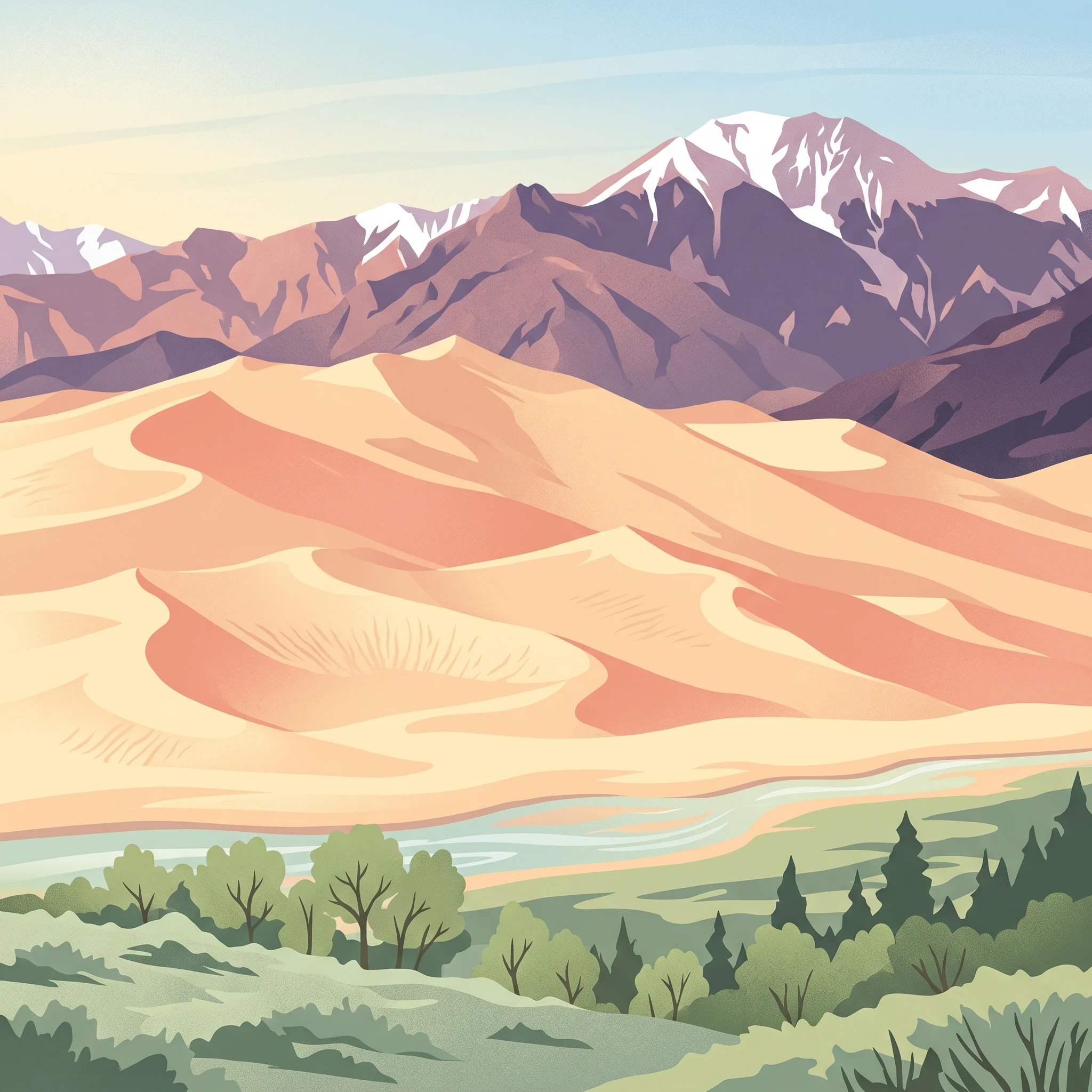
North America's tallest sand dunes rising against the Sangre de Cristo Mountains

Great Sand Dunes National Park and Preserve

Great Sand Dunes National Park and Preserve represents a rare geological phenomenon in North America, where an extensive sand dune field exists in a high-elevation mountain valley setting rather than in a coastal or desert environment. The San Luis Valley, a large graben between two major mountain ranges, accumulated sediments over millions of years, and when ancient Lake Alamosa drained approximately 440,000 years ago, it left behind the sand deposits that would eventually form these dunes. The dunes sit at approximately 7,694 feet elevation, making them among the highest sand dunes in the world. What makes this dune field particularly dynamic is the combination of opposing wind patterns and the sand-recycling action of Medano and Sand Creeks, which carry sand from the mountains around the dune field and back to the valley floor where it can be blown again into the main dunefield. The national preserve protects the mountainous terrain to the east, including peaks over 13,000 feet, alpine lakes, and forests that form a striking backdrop to the golden dunes. This protected area conserves not just the iconic dunes but an entire mountain watershed ecosystem that feeds the dune system and supports diverse habitats. Visitors experience a landscape of extraordinary visual contrast, with the rippling patterns of wind-shaped sand against the rugged permanence of the Sangre de Cristo Range.

Location
United States of America
Park type
National park
Established
2004
Area
603.1 km²
Highest point
4,146 m
Great Sand Dunes National Park and Preserve Atlas
1 guide

Compare thematic resources and select targeted answers for your visit planning

Published Guides and Focused Reference Articles for Great Sand Dunes National Park and Preserve

Browse the complete collection of published reference materials dedicated to Great Sand Dunes National Park and Preserve. Each focused guide addresses specific planning questions regarding seasonal timing, environmental trade-offs, and balanced conditions.
When to Visit Great Sand Dunes National Park and Preserve: A Seasonal Planning Guide
When to visit Great Sand Dunes

When to Visit Great Sand Dunes National Park and Preserve: A Seasonal Planning Guide

Determine the right time for your trip by weighing seasonal weather trends, the Medano Creek flow, and mountain accessibility in this unique Colorado landscape.

Great Sand Dunes National Park and Preserve presents a unique climate challenge for visitors due to its extreme elevation range and high-altitude desert environment. This guide provides an evidence-based framework for timing your visit by interpreting long-term climate normals against the specific environmental phenomena that define the park experience. It addresses the significant temperature fluctuations between day and night, the seasonal patterns of the famous surge flow in Medano Creek, and the accessibility of mountain trails that lead from the valley floor into the Sangre de Cristo Range. By understanding these environmental phases, visitors can better align their travel dates with personal goals such as sand hiking, photography, or backcountry exploration. Because this guide relies on historical weather patterns rather than real-time conditions, it is essential to treat seasonal data as a baseline rather than a promise. Access to high-country passes, the precise timing and duration of the Medano Creek flow, and the status of specific trails remain subject to annual snowpack and local agency decisions. The following analysis separates stable climate trends from the volatile variables that require verification with the park service before you finalize your travel plans. Use this information to evaluate the inherent compromises of different seasons and make an informed decision based on your specific priorities for visiting this singular American landscape.

Best time to visit
MoriAtlas Explorer

Continue Exploring Great Sand Dunes National Park and Preserve's Geographic Identity

Deepen your understanding of Great Sand Dunes National Park and Preserve by exploring its specific geographic context and protected landscape characteristics. This dedicated route helps users build a more detailed picture of the park's terrain and its role within the regional atlas, offering further insights for structured geographic discovery beyond initial exploration.