
Mori Atlas logo
Park guides

Available resources for exploring the rust coloured cliffs and outback landscapes.

Gundabooka National Park: Curated Collection of Geographic and Regional Exploration Guides

Explore the collection of thematic guides for Gundabooka National Park, a distinct protected area within the north-west slopes of New South Wales. These materials provide structured insights into the regional environment, helping interested observers navigate the dramatic topography of the Gunderbooka Range and plan visits according to established conditions.

Related tags

Aboriginal cultural heritageRock artOutback landscapeSemi-arid wildernessCliff formations

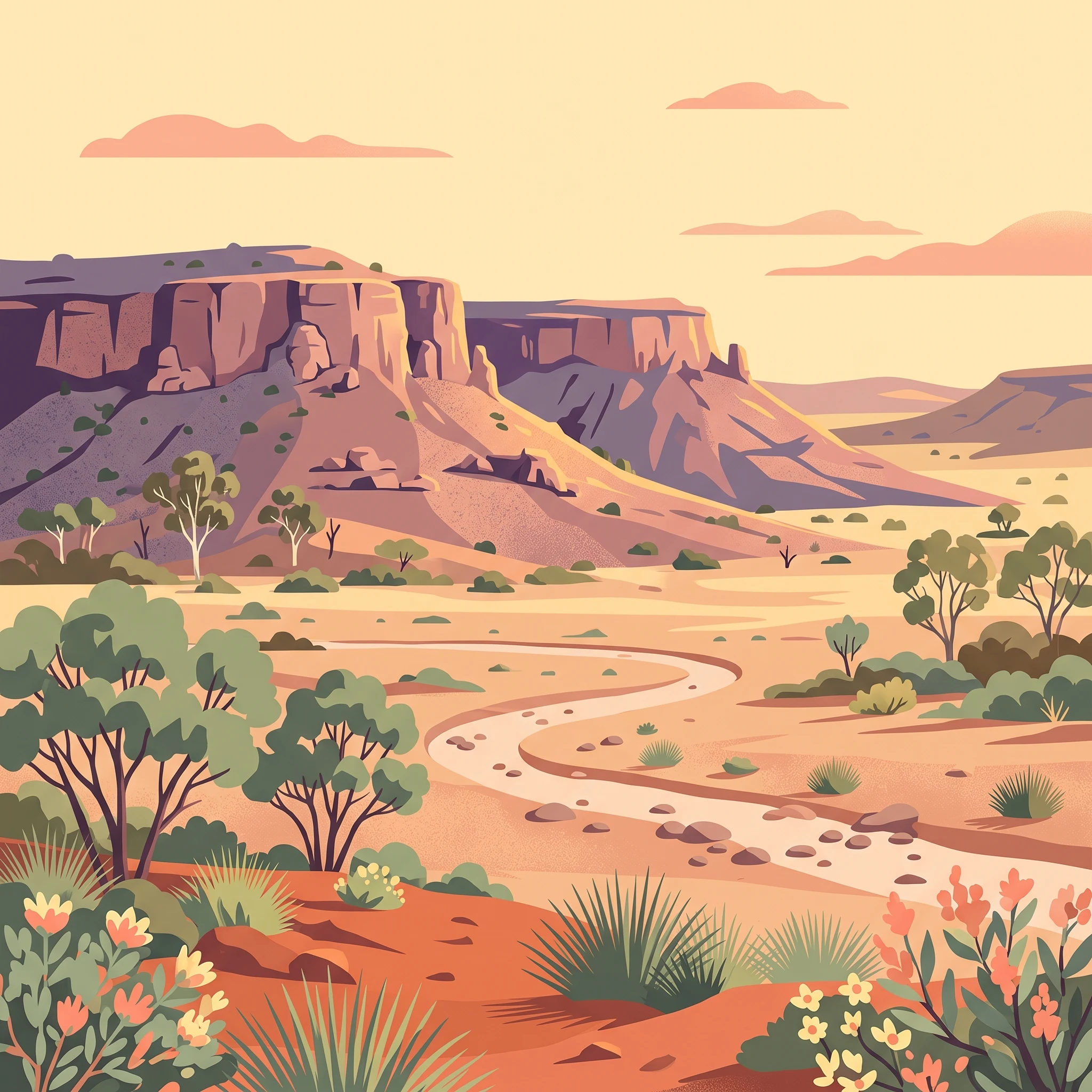
Ancient rock art and rust-coloured cliffs in outback New South Wales

Gundabooka National Park

Gundabooka National Park occupies a significant position in the protected area network of north-western New South Wales, situated in a transition zone between the more densely populated eastern portions of the state and the vast semi-arid rangelands of the interior. The park's establishment in April 1996 marked the formal recognition of both the natural and cultural values of this landscape, which had previously functioned as a sheep station. The presence of the Gunderbooka Range, with its prominent red cliffs and rocky outcrops, provides the park with a strong sense of place and visual identity that distinguishes it from the surrounding pastoral landscapes. The park's location adjacent to the Darling River, one of Australia's most significant inland waterways, connects it to broader regional conservation efforts including the neighbouring Toorale National Park. This positioning also reflects the historical importance of the river system to both Indigenous communities and European pastoralists who shaped the region's more recent history.

Location
Australia
Park type
National park
Established
1996
Area
639 km²
Gundabooka National Park protected area
1 guide

Compare curated planning topics and visitor timing details for regional exploration

Published Reference Guides and Timing Resources for Gundabooka National Park

Browse all currently published reference materials covering seasonal planning and visitor timing for Gundabooka National Park. Published resources help evaluate temperature conditions, terrain access, and best months for exploring local archaeological sites.
MoriAtlas Explorer

Continue Exploring Gundabooka National Park's Geographic Identity and Landscape Context

Deepen your understanding of Gundabooka National Park by examining its precise geographic position and protected landscape characteristics. This resource facilitates a structured exploration of how the park fits into the regional geography of New South Wales and its mapped natural context, crucial for comprehensive atlas-based discovery.