Mori Atlas logo
National parkGundabooka National Park

Discover the geographic context and park boundaries of this significant Australian national park.

Gundabooka National Park: Mapped Protected Landscape and Regional Geography in New South Wales

Gundabooka National Park represents a key protected natural area within the state of New South Wales, Australia. As a designated national park, its geographic significance lies in its mapped boundaries and the regional landscape it encompasses. This page offers an atlas-style exploration, detailing the park's place within the broader geography of New South Wales and highlighting its identity as a protected landscape for structured discovery.

Aboriginal cultural heritageRock artOutback landscapeSemi-arid wildernessCliff formationsDarling River region

Gundabooka National Park

National park

Park overview

Structured park overview, official facts, and landscape profile for Gundabooka National Park

Gundabooka National Park park facts, protected area profile, and essential visitor context
Review the core facts for Gundabooka National Park, including designation, size, terrain, visitor scale, habitats, and operating context in one park-focused overview.

About Gundabooka National Park

Gundabooka National Park occupies a significant position in the protected area network of north-western New South Wales, situated in a transition zone between the more densely populated eastern portions of the state and the vast semi-arid rangelands of the interior. The park's establishment in April 1996 marked the formal recognition of both the natural and cultural values of this landscape, which had previously functioned as a sheep station. The presence of the Gunderbooka Range, with its prominent red cliffs and rocky outcrops, provides the park with a strong sense of place and visual identity that distinguishes it from the surrounding pastoral landscapes. The park's location adjacent to the Darling River, one of Australia's most significant inland waterways, connects it to broader regional conservation efforts including the neighbouring Toorale National Park. This positioning also reflects the historical importance of the river system to both Indigenous communities and European pastoralists who shaped the region's more recent history.

Quick facts and research context for Gundabooka National Park

Gundabooka National Park covers 639.02 square kilometres in north-western New South Wales, established in April 1996. The park lies adjacent to both the Darling River and Toorale National Park, with the nearest town of Bourke situated 70 kilometres to the north. The landscape is dominated by large open plains, grassy woodlands, and distinctive rust-coloured rocky cliffs that define the Gunderbooka Range. The area holds significant cultural importance as traditional Country of the Ngemba people, who lived in the region prior to European settlement.

Park context

Deeper park guide and search-rich context for Gundabooka National Park

Gundabooka National Park history, landscape, wildlife, and travel context
Explore Gundabooka National Park through its history, landscape character, ecosystems, wildlife, conservation priorities, cultural context, and seasonal travel timing in a structured park guide built for atlas discovery and search intent.

Why Gundabooka National Park stands out

Gundabooka National Park is best known for its significant Aboriginal cultural heritage, particularly the petroglyph rock art and ancestral ceremonial grounds found within the park boundaries. The striking rust-coloured cliffs of the Gunderbooka Range provide the park's most distinctive visual character, rising from the surrounding open plains and grassy woodlands. The combination of ancient Indigenous heritage sites with the dramatic outback landscape of the Darling River region makes this park a meaningful destination for understanding both natural and cultural history of far western New South Wales.

Gundabooka National Park history and protected-area timeline

Prior to its declaration as a national park in 1996, the Gundabooka area served as a sheep station, reflecting the broad pattern of European agricultural conversion that transformed much of inland New South Wales during the nineteenth and twentieth centuries. The region was previously the traditional Country of the Ngemba people, an Aboriginal group whose connection to this landscape extends back thousands of years. The establishment of the national park protected the significant Indigenous heritage of the area, including the petroglyph rock art sites and ceremonial grounds that remain important cultural places. This transition from pastoral use to protected area status represents a broader shift in how western New South Wales landscapes are valued and managed, recognizing that Indigenous cultural heritage and biodiversity conservation can coexist alongside appropriate visitor access.

Gundabooka National Park landscape and geographic character

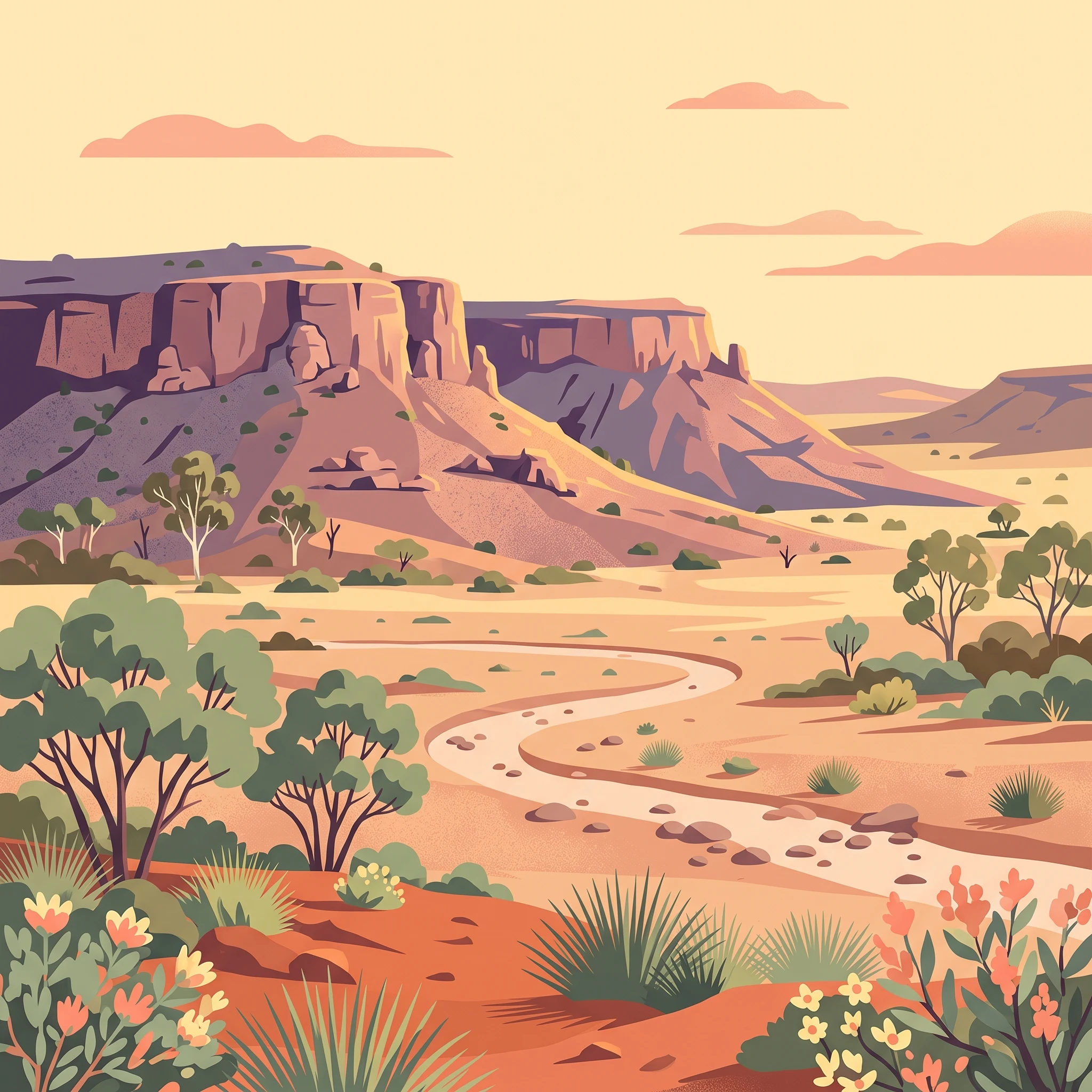
The landscape of Gundabooka National Park is defined by the prominent Gunderbooka Range, a series of rust-coloured rocky cliffs and ridges that rise from the surrounding terrain to form the park's most dramatic topographic feature. Large open plains extend across much of the park's interior, interspersed with patches of grassy woodland that provide visual variety and ecological habitat. The red and orange hues of the cliffs and rocky outcrops create a distinctive colour palette characteristic of the Australian outback, particularly striking against the typically blue skies of the region. These landforms are the product of geological processes that have shaped the interior of New South Wales over millions of years, with the exposed rock faces providing visual evidence of the region's ancient geological history.

Gundabooka National Park ecosystems, habitats, and plant life

The park supports a range of vegetation communities adapted to the semi-arid conditions of north-western New South Wales. The grassy woodlands that cover substantial portions of the park are characterized by drought-tolerant trees and understory species capable of surviving the region's variable rainfall patterns. The rocky cliffs and ridges of the Gunderbooka Range provide habitat for species adapted to more arid conditions and rock-associated environments. While the source material notes the presence of many exotic plants within the park, the native vegetation communities still provide important habitat value for native fauna, with the combination of woodland, cliff, and plain habitats supporting ecological diversity across the protected area.

Gundabooka National Park cultural meaning and human context

Gundabooka National Park holds deep significance as the traditional Country of the Ngemba people, whose connection to this landscape extends far beyond the period of European settlement. The park contains significant Aboriginal cultural heritage sites including petroglyph rock art, which represents some of the oldest evidence of human presence and cultural expression in the region. Ancestral ceremonial grounds located within the park boundaries continue to hold cultural importance for Aboriginal communities, reflecting the ongoing connection between Indigenous peoples and Country in western New South Wales. The protection of these sites within the national park framework represents an important recognition of Aboriginal cultural values alongside biodiversity conservation.

Top sights and standout views in Gundabooka National Park

The striking rust-coloured cliffs of the Gunderbooka Range form the park's most visually commanding feature, rising prominently above the surrounding plains and providing dramatic outback scenery. Ancient Aboriginal rock art sites and ceremonial grounds preserve thousands of years of Indigenous cultural heritage, offering visitors meaningful insight into the human history of this landscape. The park's position adjacent to the Darling River connects it to one of Australia's most significant inland river systems and adds regional context to visits. The combination of dramatic ridgelines, open plains, and cultural heritage makes Gundabooka a distinctive protected area in the far north-west of New South Wales.
Park location guide

Geography guide, regional context, and park location map for Gundabooka National Park

Gundabooka National Park park geography, regions, and map view in Australia
Understand where Gundabooka National Park sits in Australia through a broader geographic reading of the surrounding landscape, nearby location context, and its mapped position within the national park landscape.

How Gundabooka National Park fits into Australia

Australia is a constitutional monarchy and federal parliamentary democracy comprising six states and ten territories. With a population of nearly 28 million, it is one of the world's most urbanised countries, with most people concentrated on the eastern seaboard. The country has a high Human Development Index and is known for its cultural diversity, ancient Aboriginal heritage, and unique wildlife.

Wider geography shaping Gundabooka National Park in Australia

Australia occupies the entire Australian continent, the island of Tasmania, and numerous smaller islands. It is the world's flattest and driest inhabited continent, featuring vast deserts in the interior (the Outback), tropical rainforests along the eastern coast, and a coastline bordering the Indian and Pacific Oceans.

Map view of Gundabooka National Park

Use this park location map to pinpoint Gundabooka National Park in Australia, understand its exact geographic position, and read its mapped placement within the surrounding landscape more clearly.

Pigeon | © OpenStreetMap contributors

Location context for Gundabooka National Park

New South Wales
Park atlas

Compare the Outback Landscapes and Regional Protected Areas Surrounding Gundabooka National Park

Discover Other National Parks and Protected Areas Near Gundabooka National Park
Browse a curated list of national parks and protected areas near Gundabooka, tracing the distinctive semi-arid outback and Darling River region of New South Wales. This contextual view allows for geographic comparison, revealing how different conservation landscapes connect across the far western reaches of the state.
National parkNew South Wales

Toorale National Park: Inland Floodplain and Wetland Protected Area in New South Wales

Discover its unique geography at the Darling and Warrego River confluence.

Toorale National Park is a critical protected area in the arid interior of New South Wales, Australia, recognized for its expansive inland floodplain and a significant wetland system formed by historic water management. Situated at the convergence of the Darling and Warrego Rivers, the park's terrain is predominantly flat, characterized by riparian floodplains and occasional low ridges. This landscape supports diverse vegetation communities, including river red gum forests and extensive chenopod shrublands, offering a unique insight into inland Australian geography and conservation values. Explore the mapped boundaries and natural context of this important national park.

Area
308.66 km²
Established
2010
IUCN
II
Relief
Lowland
National parkAustralia

Culgoa National Park: Iconic Coolabah Woodlands and River Floodplain Landscapes of Australia

Explore mapped boundaries and regional geography in this New South Wales protected area.

Culgoa National Park is a premier example of a preserved semi-arid outback landscape in Australia, celebrated for its extensive and intact coolabah woodlands. This national park protects vital river floodplains and a chain of permanent waterholes along the Culgoa River, contributing significantly to the biodiversity of the Darling River catchment. Understanding its geographic setting and the mapped distribution of its unique vegetation communities offers deep insight into Australia's natural heritage.

Area
352.39 km²
Established
1996
IUCN
II
Relief
Lowland
National parkAustralia

Paroo-Darling National Park: Mapped Boundaries and Protected Landscape Geography

Explore the geographic context of this Australian national park.

Paroo-Darling National Park is a protected national park offering insights into Australia's natural geography. This section provides details on its mapped protected area, highlighting the landscape and regional context. Understand the park's geographic footprint and its importance as a conservation landscape within the Australian continent.

Area
1,780.53 km²
Established
2000
IUCN
II
Relief
Upland
National parkQueensland

Culgoa Floodplain National Park: Queensland National Park and Protected Landscape Identity

Explore mapped boundaries and regional geographic context.

Culgoa Floodplain National Park is a designated national park located in Queensland, Australia. This page details its identity as a protected landscape, emphasizing its geographical placement within the northeastern Australian region. Users can discover the park's mapped boundaries, understand its role within Queensland's geography, and engage with atlas-style exploration tools focused on conservation lands and natural terrain.

Area
428.59 km²
Established
1994
IUCN
II
Relief
Lowland
National parkQueensland

Currawinya National Park: Queensland's Ramsar Wetland and Mulga Lands National Park

Discover its arid landscape and protected area identity.

Currawinya National Park is a major protected area in Queensland, Australia, recognized for its significant Ramsar-listed wetland system, including Lakes Numalla and Wyara. These ephemeral lakes are vital drought refuges for waterbirds across inland Australia and represent a unique ecological feature within the park's expansive mulga lands landscape. The park also champions conservation initiatives, notably a large predator-exclusion enclosure for the greater bilby, showcasing its commitment to arid-zone biodiversity and landscape preservation.

Area
1,513 km²
Established
1991
IUCN
II
Relief
Lowland
National parkNew South Wales

Willandra National Park: National Park Protected Landscape & Geographic Context

Discover mapped boundaries within this New South Wales protected area.

Willandra National Park is a designated national park in New South Wales, Australia, offering focused opportunities for understanding protected landscapes. This entry provides essential geographic context and highlights the importance of mapped park boundaries for atlas-driven exploration. Users can engage with the park's specific landscape identity and its contribution to the broader regional geography of New South Wales through structured data.

Area
193.86 km²
Established
1972
IUCN
II
Relief
Lowland
National parkQueensland

Lake Bindegolly National Park: A Mapped Protected Wetland Sanctuary in Queensland

Discover its rare flora and vital bird habitat in the Mulga Lands.

Lake Bindegolly National Park is a significant protected natural area situated in the Mulga Lands of Queensland, Australia. This national park preserves a unique three-lake system, essential for rare plant conservation and recognized internationally as an Important Bird Area. The transient wetlands within the park attract a remarkable diversity of bird species, especially waterfowl, making it a key destination for understanding inland Australian geography and the importance of protected landscapes.

Area
140 km²
Established
1991
IUCN
II
Relief
Lowland
National parkNew South Wales

Mutawintji National Park: New South Wales Protected Area for Atlas Exploration

Mapping rugged outback terrain, gorges, and ancient rock art.

Mutawintji National Park in New South Wales offers a profound exploration of Australia's outback geography, significant Indigenous heritage, and protected landscapes. Discover the park's unique terrain, defined by the Byngnano Range, vibrant gorges, and river red gum-lined creeks, all rich with ancient Aboriginal rock art. This national park is a prime example of mapped protected area discovery, highlighting both natural beauty and critical conservation achievements.

Area
689.12 km²
Established
1998
IUCN
II
Relief
Mountain

Common questions about visiting, size, designation, and location context for Gundabooka National Park

Gundabooka National Park FAQs for park facts, access, geography, and protected area context
Find quick answers about Gundabooka National Park, including protected-area facts, park geography, trail and visitor context, and how the park fits into its surrounding country and regional landscape.
MoriAtlas Explorer

Continue Your Protected Areas Search Across the Global Atlas

Deepen your exploration by continuing the structured search for national parks and protected areas worldwide. Utilize the comprehensive filtering capabilities to compare different conservation landscapes and refine your understanding of global park geography. Discover more about the distribution and characteristics of protected natural areas.

Global natural geography