
A comprehensive index of river valleys, gorges, and wilderness terrain across the park.
Named Natural Features and Geographic Landscapes of Guy Fawkes River National Park
Explore the diverse natural features found throughout Guy Fawkes River National Park in New South Wales. This collection catalogs significant landforms and river systems, including the deeply incised valleys, dramatic gorges, and plateau landscapes that define this expansive wilderness protected area.
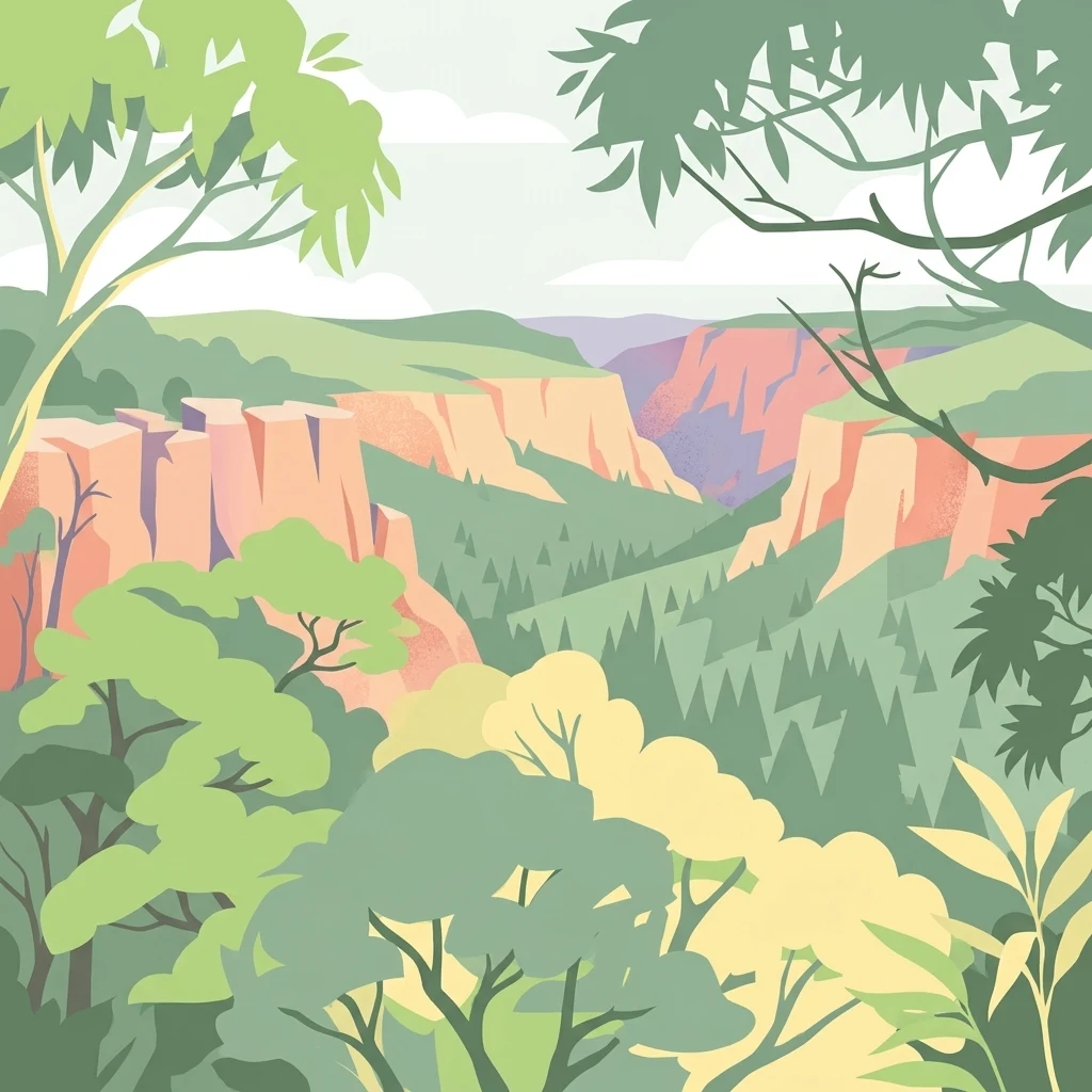
Map the rugged gorge systems, ancient fault lines, and plateau waterfalls of the tablelands
Natural Features and Geological Landmarks of Guy Fawkes River National Park
Mapped hydrological networks and gorge systems
Rivers
Access a structured inventory of river channels that intersect the rugged valleys and tablelands of Guy Fawkes River National Park. This geography-focused collection highlights individual watercourses and their role in carving the park's dramatic, deeply incised landscape and remote wilderness environment.
Mapped river descents across gorge landscapes
Waterfalls
Browse the inventory of waterfall features located throughout the deep valleys of Guy Fawkes River National Park. These records document the interaction between regional river systems and the steep cliff faces of the New England Tablelands, offering a focused view of the geological features defining these remote wilderness corridors.
Continue Exploring Guy Fawkes River National Park's Protected Landscape Geography
Deepen your understanding of Guy Fawkes River National Park by exploring its specific map context and protected landscape features. This entry serves as a gateway to comprehending the park's geographic significance within New South Wales and its atlas representation. Continue to trace the protected boundaries and natural terrain to build a more complete picture of Australia's conservation territories.