
Why Hochsimmer stands out
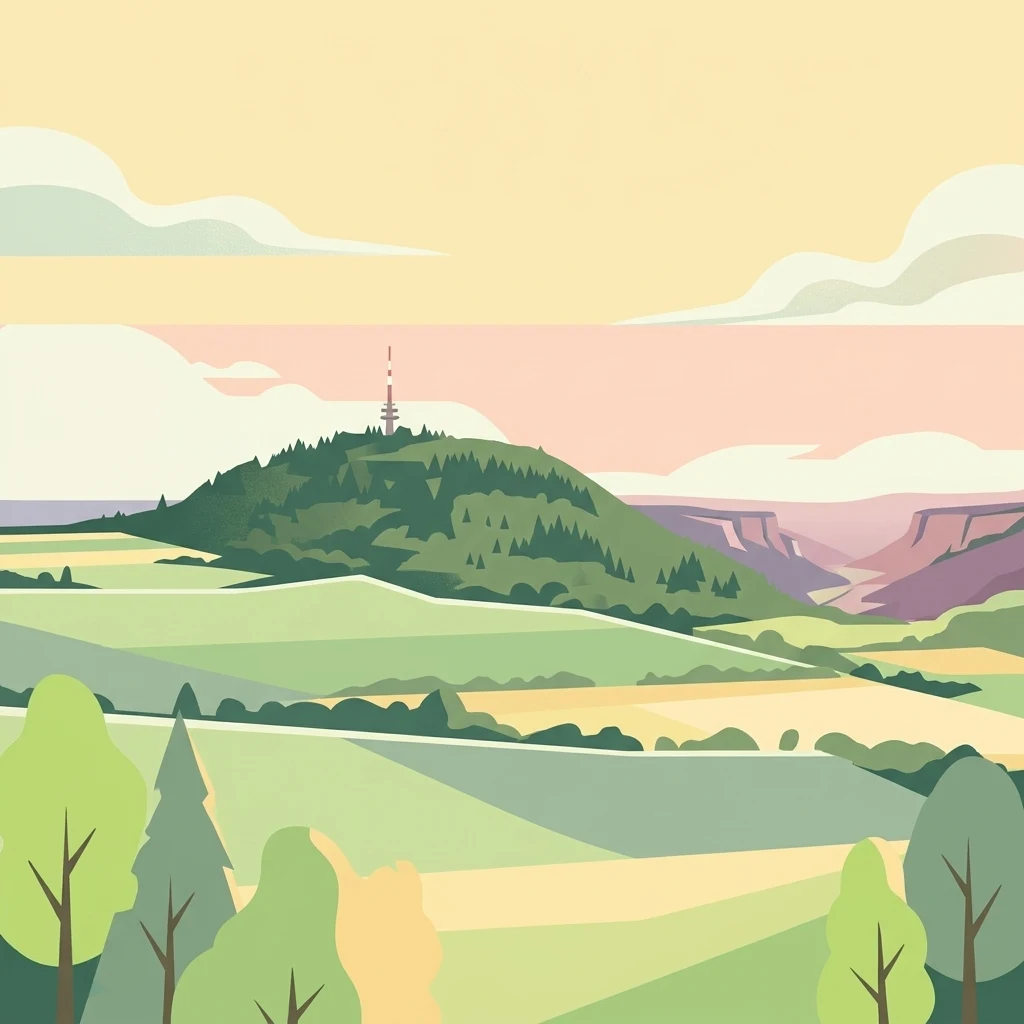
Hochsimmer is best known as a prominent wooded volcanic cinder cone in the Eastern Eifel, notable for its clearly defined twin summits and its sweeping views from the early-20th-century Hochsimmerturm. The mountain anchors a recognized nature reserve within the volcanic landscape between the Eifel highlands and the Middle Rhine basin, and its slopes contribute to one of the region's most characteristic combinations of basalt geology, mixed forest, and long-distance hiking routes.
Hochsimmer history and protected-area timeline
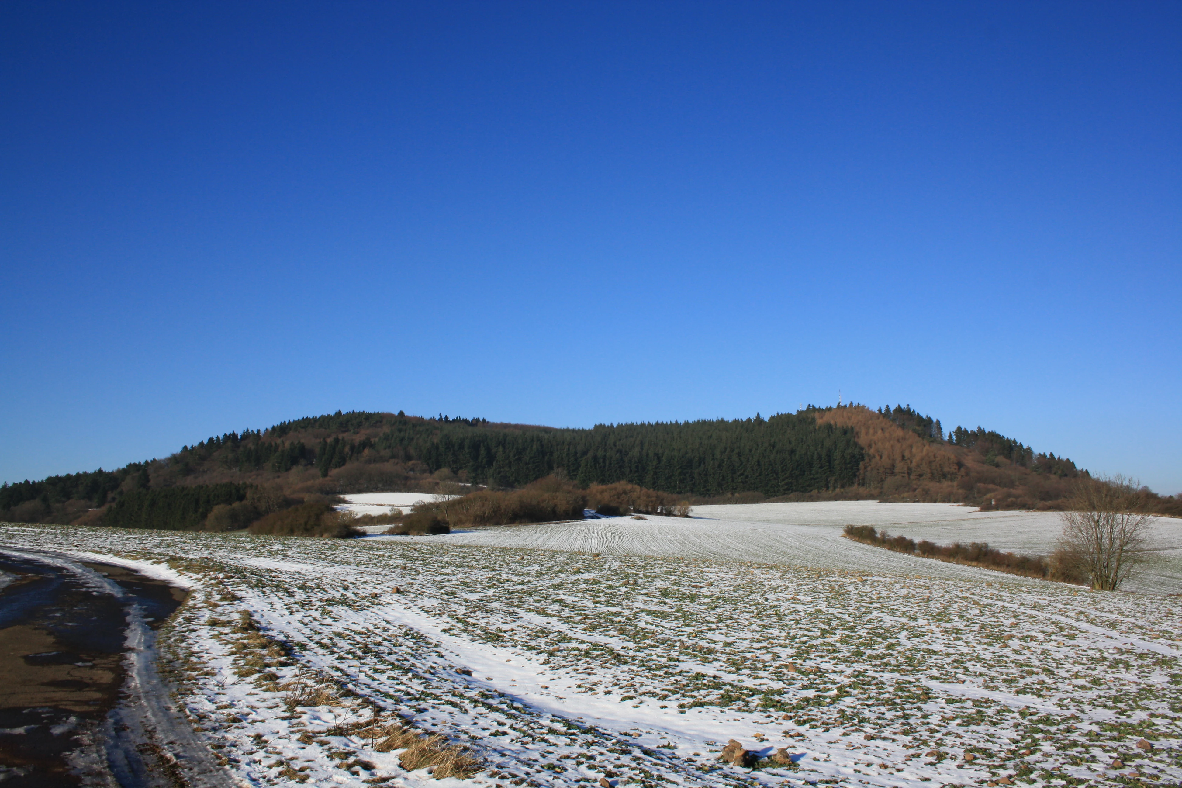
Hochsimmer's geological history is bound up with the broader volcanism of the Eifel, where a long series of basaltic eruptions over the Quaternary period built up numerous cinder cones and maars across the highlands. The mountain itself is a Schlackenkegel, a cinder cone composed of volcanic slag and basalt, and its twin summits reflect the complex morphology typical of these relatively small but distinct eruptive centers.
In the modern era, the mountain gained formal recognition for its natural values in 1973, when the woodland around Hochsimmer was designated as a nature reserve, or Naturschutzgebiet, with the CDDA identifier 81899. Ten years later, in 1980, the protection framework was extended when the surrounding landscape was incorporated into the very large Rhein-Ahr-Eifel landscape protection area, helping to tie the Hochsimmer into a wider regional network of conserved habitat.
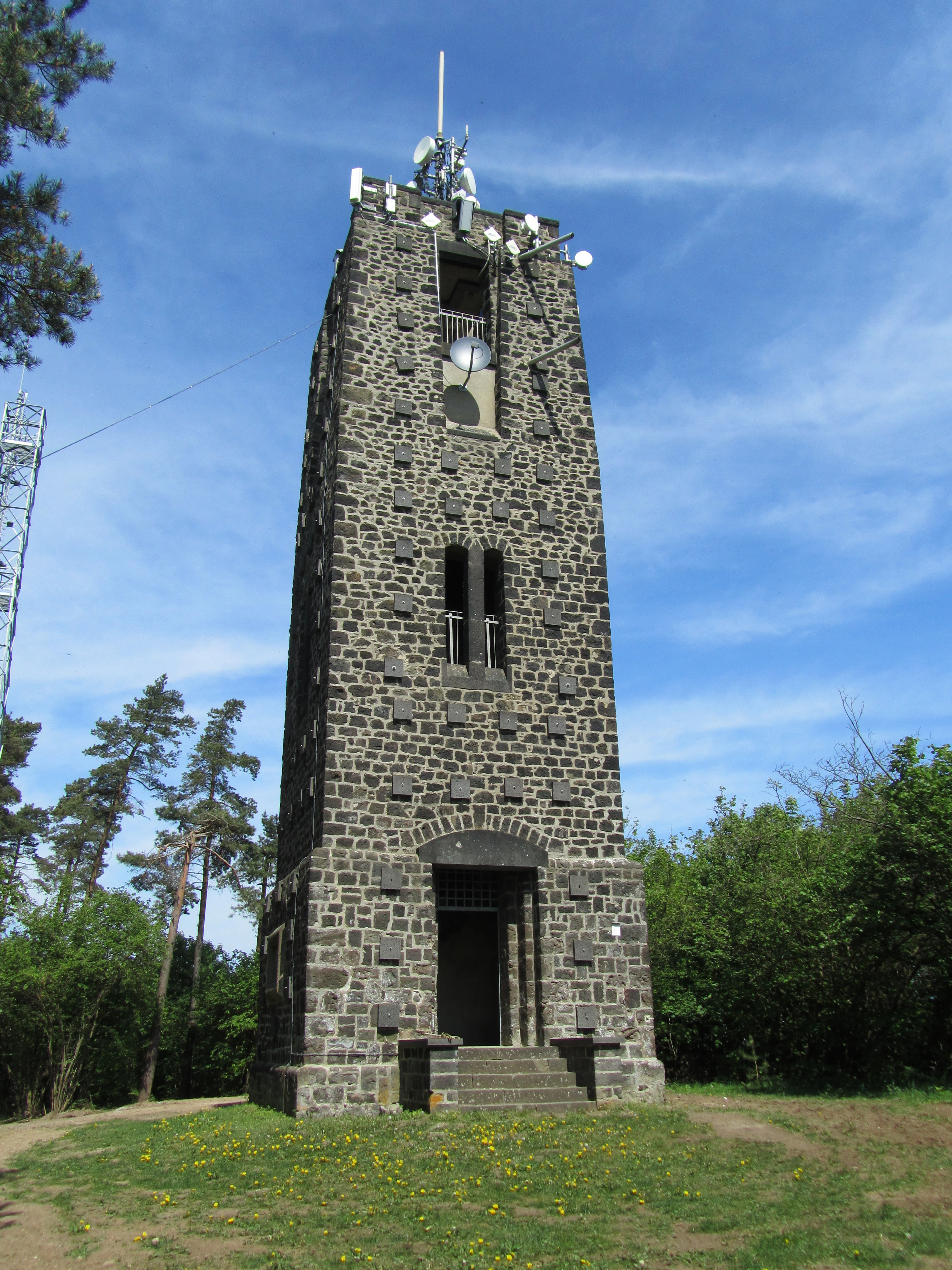
The most important man-made landmark on the Hochsimmer is the Hochsimmerturm, an 18-meter observation tower built between 1909 and 1911 on the eastern summit. The tower has shaped the mountain's cultural identity for more than a century, becoming both a hiking destination in its own right and a panoramic viewing point for the Volcanic Eifel and the Middle Rhine basin. Nearby transmitter structures, a sendeturm about 30 meters to the northwest and a sendemast about 25 meters to the south, reflect later additions to the summit area associated with communications infrastructure rather than the original hiking and sightseeing use.
Hochsimmer landscape and geographic character
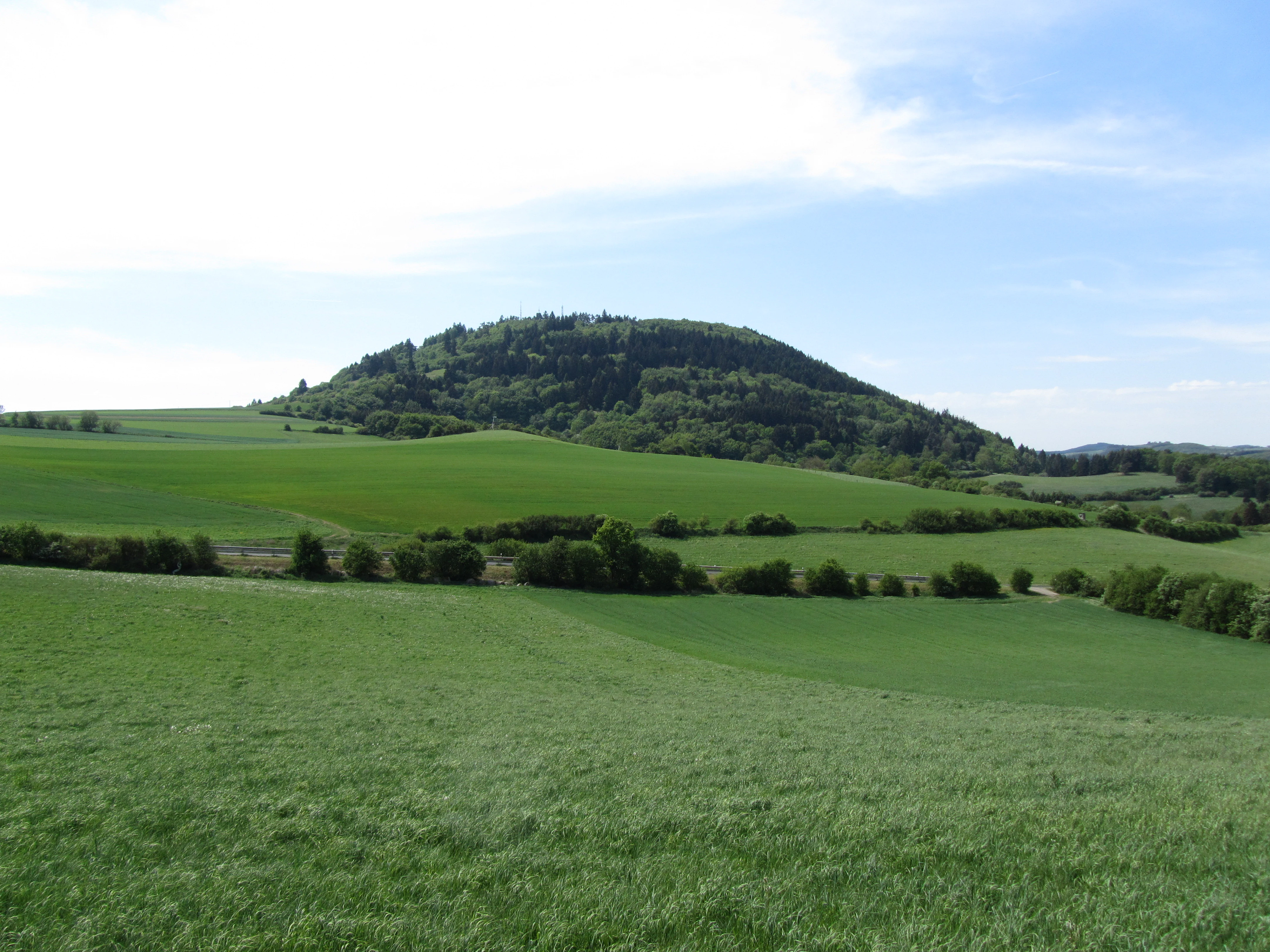
The Hochsimmer presents the classic silhouette of a small Eifel volcanic cone: a forested, roughly conical hill rising above a patchwork of fields and villages. Its twin summits give it a slightly elongated profile from some directions, and the neighboring Kleiner Simmer reinforces the impression of a cluster of volcanic hills rather than a single isolated peak.
The mountain stands at the edge of the Hohen Eifel, with the Osteifel rising to its west and the broader landscapes of the Middle Rhine area, including the Middle Rhine Basin and the Maifeld-Pellenzer hill country, opening up to its east and south. The eastern foothills blend into the Ettringer Vulkankuppen landscape, part of the Laacher Vulkane natural subregion, while the western slopes belong to the wooded Nitz-Nette-Bergland. To the north, the terrain transitions into the Kempenicher Tuffhochfläche, a plateau of volcanic tuff that links the Hochsimmer visually with other Eifel highlands.
At the base of the Hochsimmer, the Nette river flows along a roughly north-south course past the western foot of the mountain, and its valley carries the L 83 road linking Weibern to the northwest with Mayen to the southeast. The L 82 runs past the eastern foot toward Bell, while the village of Ettringen sits close to the mountain's eastern base and Sankt Johann to its southern base. Together, these valleys, roads, and settlements frame the mountain and make it a focal point in the local topography.
Hochsimmer ecosystems, habitats, and plant life
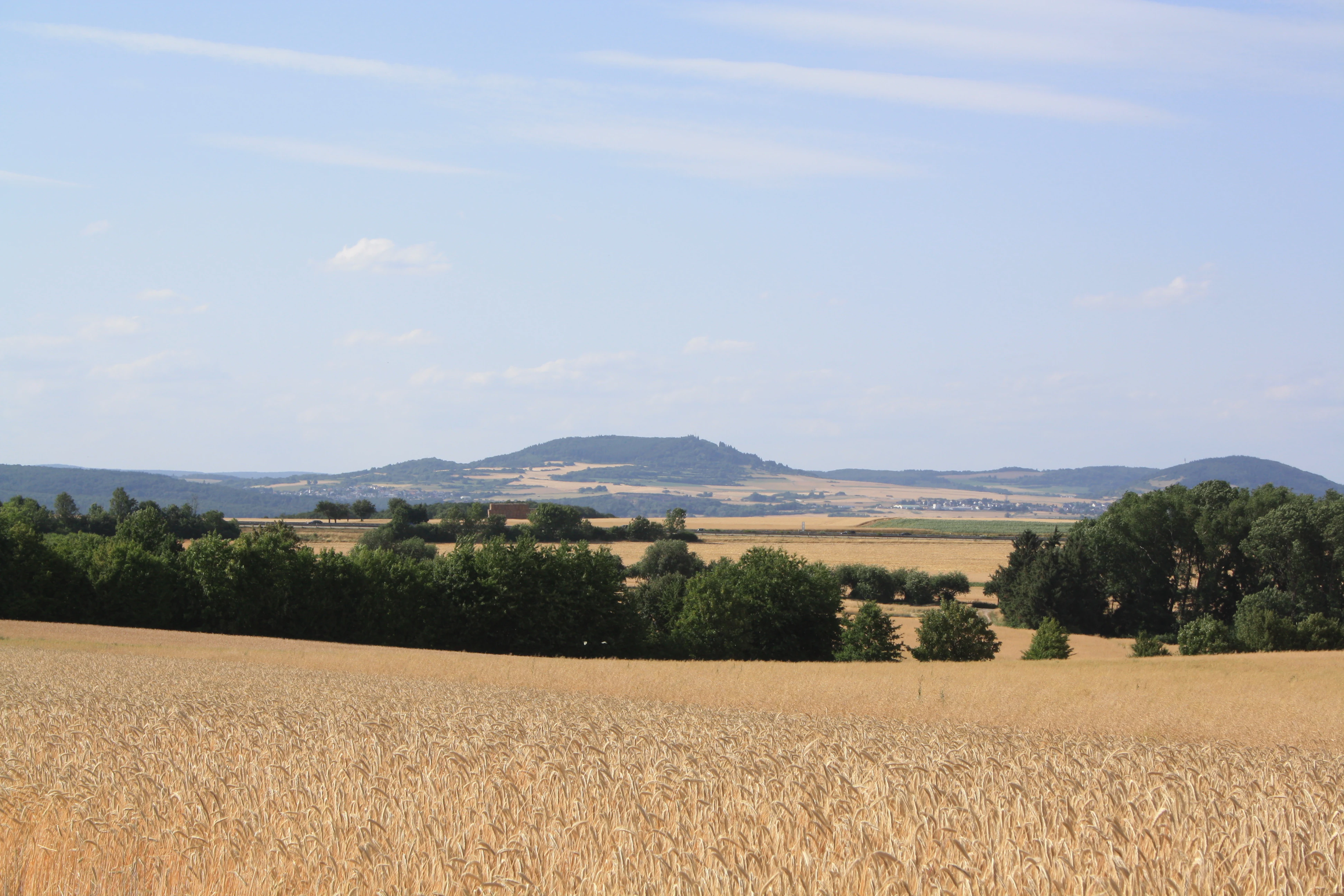
The natural character of the Hochsimmer is defined above all by the continuous woodland that clothes its slopes. The mountain's basaltic and slag substrate supports mixed forest typical of the middle elevations of the Eifel, including stands that transition between the cooler, more montane forests of the higher Eifel to the west and the warmer, more thermophilous woodlands of the Middle Rhine basin to the east.
Because the Hochsimmer lies directly on the boundary between two natural regions, it functions as an ecological transition zone. Species and communities linked to upland Eifel habitats meet those associated with the volcanic hills and dry valleys of the Laacher Vulkane and the Middle Rhine area, giving the mountain a richer ecological interface than its modest size alone would suggest. The adjoining landscape protection area extends this ecological value well beyond the strict nature reserve boundary, ensuring that the Hochsimmer's habitats are connected to a much larger continuum of woodland, meadow, and agricultural land.
The mountain's position in the Volcanic Eifel, combined with its protected status, makes it a representative example of how small, isolated volcanic cones in this region often act as refuges for forest species, landscape-scale habitat continuity, and the characteristic mosaic of forest, field, and small valley that defines the eastern Eifel.
Hochsimmer wildlife and species highlights
Hochsimmer is primarily valued as a forested refuge rather than as a site defined by a single charismatic species. Its dense woodland cover and its position at the boundary between upland Eifel habitats and Middle Rhine basin habitats make it a useful area for forest-dwelling fauna typical of the region, including species that depend on continuous canopy cover, mature deciduous and mixed stands, and relatively undisturbed slopes.
The transition zone character of the mountain is particularly relevant for birdlife and for smaller forest mammals, which can move between the cooler highland forests of the Osteifel and the warmer, more varied habitats of the Middle Rhine basin without crossing extensive open land. The continuous woodland of the nature reserve, embedded within the very large Rhein-Ahr-Eifel landscape protection area, amplifies this connectivity and gives the Hochsimmer a role in regional wildlife corridors rather than functioning as a standalone wildlife site.
Because of this ecological setting, the Hochsimmer is better understood as part of a larger Eifel forest and volcanic landscape network than as a destination defined by a particular flagship species, with its strongest wildlife value lying in habitat continuity rather than in sightings of individual animals.
Hochsimmer conservation status and protection priorities
Hochsimmer has been formally protected as a nature reserve since 1973, with the aim of preserving its characteristic volcanic cone woodland, its geomorphological features, and the ecological transition across which it sits. The nature reserve designation recognizes both the ecological value of the forest itself and the importance of the basaltic and slag geology beneath it, which shapes soil conditions, microclimate, and habitat distribution across the mountain.
The surrounding landscape is covered by the Rhein-Ahr-Eifel landscape protection area, designated in 1980 and spanning nearly 926 square kilometers. This much larger designation embeds the Hochsimmer nature reserve within a regional framework that aims to maintain the mosaic of forest, farmland, river valley, and small settlement that characterizes the eastern Eifel. For the Hochsimmer, this means that the areas immediately around the strict reserve are also managed with conservation in mind, reducing the risk of habitat fragmentation at the mountain's edges.
Together, the nature reserve and the surrounding landscape protection area ensure that Hochsimmer functions as a node within a broader Eifel conservation network rather than as an isolated protected site. Its proximity to other protected Eifel peaks and volcanic landscapes, including the Hohe Acht and the broader Laacher Vulkane region, further strengthens its long-term conservation value for forest habitats, landscape connectivity, and the preservation of the region's distinctive volcanic topography.
Hochsimmer cultural meaning and human context
Hochsimmer is deeply woven into the local identity of the Eifel communities at its feet, particularly Ettringen and Sankt Johann, whose municipal boundary runs across the mountain's summit ridge. Ettringen itself refers to the Hochsimmer in its self-description as Gemeinde Ettringen am Hochsimmer, reflecting how closely the mountain is associated with the village's sense of place.
The Hochsimmerturm, built between 1909 and 1911, gives the mountain a long-standing role in regional recreational and tourism culture. As one of the early 20th-century observation towers of the Eifel, it represents a wider tradition of building viewing structures on prominent summits to open up the Eifel landscape to hikers and day visitors. The tower's continuing use for sightseeing, and the prominent role of the Eifelverein's main long-distance trail crossing the summit, mean that the Hochsimmer functions both as a natural landmark and as a familiar feature of regional hiking culture.
Top sights and standout views in Hochsimmer
The Hochsimmer's standout qualities include its clearly defined twin volcanic summits, its continuous and protected woodland cover, and its position at the ecological boundary between the Eastern Eifel and the Middle Rhine basin. The early-20th-century Hochsimmerturm remains a signature feature, offering panoramic views that link the mountain to the wider Volcanic Eifel and, on clear days, to distant landmarks such as the Cologne Cathedral.
Its integration into the Eifelverein's long-distance hiking network, and its place within both a dedicated nature reserve and a very large landscape protection area, make it a particularly accessible example of how the Eifel's volcanic cones combine geological interest, ecological value, and recreational use in a single compact landmark.
Best time to visit Hochsimmer
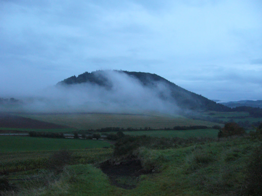
The Hochsimmer can be visited at any time of year, but the experience changes meaningfully with the seasons. Spring and early summer bring fresh green foliage to the mountain's mixed forest and comfortable conditions for hiking the Eifelverein trails that cross the summit, while late summer and early autumn typically offer the clearest views from the Hochsimmerturm across the Eifel and into the Middle Rhine basin. Winter visits are possible but can bring fog, low cloud, or snow to the higher slopes, which may obscure the panoramic views that are the tower's main reward.
Because the mountain is densely forested and largely protected, visitors generally experience it as a woodland walk rather than an open summit landscape, and timing a visit for stable, clear weather tends to be the most effective way to appreciate both the forest atmosphere of the slopes and the distant view from the observation tower.