Mori Atlas logo
Park earthquake history

A comprehensive catalogue of historical seismic events associated with this protected floodplain landscape.

Ilvericher Altrheinschlinge Earthquake History and Recorded Regional Seismic Activity Records

Review an organized compilation of recorded earthquake activity associated with the Ilvericher Altrheinschlinge nature reserve and its surrounding Lower Rhine region. This catalogue provides access to event dates, seismic magnitudes, and epicentre distances to clarify historical patterns within the immediate vicinity of this protected oxbow meander. These records provide a factual reference for landscape-scale seismic monitoring across the North Rhine-Westphalia corridor.

A flat-style digital illustration showing a river winding through a meadow towards a waterfall and mountain peaks in the distance, framed by two trees in the foreground.

A preserved Lower Rhine oxbow, a closed relic of a Holocene meander that still feels like the floodplain it once was.

Ilvericher Altrheinschlinge

The Ilvericher Altrheinschlinge is a protected nature reserve and Natura 2000 site on the left bank of the Lower Rhine, near the town of Meerbusch in North Rhine-Westphalia, Germany. It is a former river meander that was cut off from the main Rhine channel thousands of years ago and gradually filled in to become a chain of still waters, swampy zones, wet meadows, and small floodplain woodlands. Today it is recognized as the only fully preserved oxbow loop on the Lower Rhine whose original geomorphology is still intact, and it is regarded as one of the most valuable nature reserves in the Lower Rhine region. The area serves as both a refuge for rare wetland species and a connecting corridor between larger bird protection zones further north and west. Surrounding farmland and a few small villages border the reserve, but inside the protected ring of the old meander the landscape has been kept as a working mosaic of wetland habitats, reed beds, wet grasslands, and alder-dominated floodplain forest fragments.

Location
Germany
Park type
Nature reserve
Established
1981
Area
3.1 km²
Ilvericher Altrheinschlinge Protected Area

Compare Ilvericher Altrheinschlinge dates, depths, and distances

Explore historical earthquake records around Ilvericher Altrheinschlinge

Ilvericher Altrheinschlinge’s catalogue associates reported epicentres with the Lower Rhine oxbow reserve by calculated distance, keeping the records separate from its meander, floodplain, wet meadows, and river processes. Dates, magnitudes, depths, localities, sources, and reserve distances enable historical comparison without implying habitat effects, boundary occurrence, current risk, or recurrence.

Sort by
Magnitude
Location

This page describes catalogued earthquakes associated with the park by epicentre location and distance. It does not establish causation, assess current danger, or predict future earthquakes.

No earthquake records match the current filters

Park atlas

Continue beyond Ilvericher Altrheinschlinge earthquake history

Discover other protected parks after Ilvericher Altrheinschlinge

Ilvericher Altrheinschlinge remains the starting context as its earthquake catalogue transitions from one Lower Rhine oxbow and wet-meadow reserve to other protected places. Their inclusion does not indicate shared Natura 2000 status, floodplain geography, proximity, geology, earthquake observations, hazard, risk, or comparable atlas documentation.
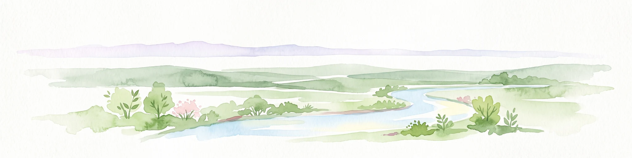
A watercolor painting showing a gentle, winding blue river flowing through a lush green landscape with soft hills in the distance.
Nature reserveNordrhein-Westfalen
About 2.1 km away#1 closest

Southwest

Der Meerbusch Nature Reserve: Mapped Protected Landscapes and Floodplain Forest Geography in Nordrhein-Westfalen

A historic alder swamp woodland and protected wetland habitat in the Lower Rhine region.

Der Meerbusch is a specialized nature reserve that preserves the ecological memory of the Lower Rhine through its intact alder swamp woodlands and old river channel formations. By examining the mapped boundaries and terrain, visitors can understand how this forest fragment functions as a critical wetland sanctuary within the industrialized landscape of Nordrhein-Westfalen.

Area
0.54 km²
Established
1987
IUCN
IV
Relief
Lowland
A soft watercolor painting of a winding stream through a grassy meadow with gentle hills in the background.
Nature reserveNordrhein-Westfalen
About 3.6 km away#2 closest

North

Latumer Bruch Nature Reserve and Protected Wetland Geography in Nordrhein-Westfalen

A mapped overview of floodplain forests and Rhine channel landscapes

Latumer Bruch protects a unique lowland mosaic of alder swamp forest and dry grassland ridges near Krefeld. This nature reserve functions as a vital wetland refuge and floodwater retention basin, offering deep insight into the complex hydrologic character and ecological connectivity of the Lower Rhine region.

Area
1.85 km²
Established
1982
IUCN
IV
Relief
Lowland
A soft watercolor illustration depicting a winding river flowing through green meadows and forest clusters against a light sky background.
Nature reserveNorth Rhine-Westphalia
About 4.8 km away#3 closest

North

Spey Nature Reserve: Protected Floodplain Geography and River Corridor in North Rhine-Westphalia

A detailed map of Rhine riverbank habitats and floodplain terrain

Spey Nature Reserve protects a characteristic slice of the Lower Rhine floodplain, featuring a layered landscape of softwood forest, river valley grasslands, and open shoreline. Situated within the Deichvorland between the cities of Krefeld and Meerbusch, this protected area serves as an essential ecological stepping stone and bird habitat. The reserve provides a valuable example of natural river processes preserved within the densely populated North Rhine-Westphalia region.

Area
1.06 km²
Established
1987
IUCN
IV
Relief
Lowland
Watercolor painting of a calm pond with cattails in the foreground and rolling hills in the background.
Nature reserveNorth Rhine-Westphalia
About 12 km away#4 closest

East

Naturschutzgebiet Pillebachtal, Dernkamp und Gallberg: Protected Landscape and Geography

Nature reserve in North Rhine-Westphalia, Germany

An urban-adjacent nature reserve, this area provides a mapped look at the transition between mature beech forest stands and moist wetland corridors along the Pillebach stream. It serves as a study in ecological structure, featuring reed beds, meadow springs, and gallery woodlands that offer a protected refuge within the Rhine-Ruhr metropolitan region.

Area
0.745 km²
Established
1996
IUCN
IV
Nature reserveKrefeld
12 km away#5 closest

Northwest

Hülser Bruch Nature Reserve: Geographic Atlas and Protected Landscape Mapping for Krefeld

A historic glacial plain and protected wetland habitat in the Lower Rhine region.

Hülser Bruch represents a vital protected area in Krefeld, characterized by clay rich soils, high groundwater levels, and ancient brook channels. The reserve preserves a distinct mosaic of coppice woodland and earthen embankments that reveal the geomorphological influence of Pleistocene ice sheets on this lowland territory.

Area
4.3 km²
Established
2002
Relief
Lowland
Climate
Temperate
A horizontal watercolor illustration of a calm stream flowing through a wetland with green trees and grasses along the banks.
Nature reserveNordrhein-Westfalen
About 13 km away#6 closest

Northeast

Hummelsbach Nature Reserve: Mapped Protected Brook and Floodplain Landscape in Nordrhein-Westfalen

Protected sandy stream and alder woodland mosaic

Located in the Mettmann district of Nordrhein-Westfalen, Hummelsbach preserves a near-natural sandy brook and alder floodplain forest. This reserve functions as an essential ecological bridge between rolling hill forests and lowland floodplains, providing a concentrated look at specialized habitats within a mosaic of meadows and wet woodland.

Area
0.13 km²
Established
1984
IUCN
IV
Watercolor painting of a green valley with a winding stream and gentle hills in the background.
Nature reserveNordrhein-Westfalen
About 14 km away#7 closest

East

Morper Bachtal: Mapped Nature Reserve and Stream Valley Geography in Germany

Protected wetland landscapes and regional habitat connectivity.

Morper Bachtal represents a tightly layered protected area where open water, reedbeds, and beech forests converge along the Rotthäuser Bach. This detailed look at its landscape composition and position within the district of Mettmann reveals the significance of its compact, undulating terrain and corridor role in German regional geography.

Area
0.74 km²
Established
1984
IUCN
IV
Relief
Upland
A watercolor illustration of a gentle winding stream flowing through a lush green valley at dawn or dusk.
Nature reserveNordrhein-Westfalen
About 14 km away#8 closest

East

Schwarzbachtal bei Götzenberg: Nature Reserve and Protected Landscape in North Rhine-Westphalia

Mapped stream valley, floodplain, and forest geography

Schwarzbachtal bei Götzenberg is an ecologically rich nature reserve located near Ratingen in the Mettmann district. The protected area features a well-preserved stretch of the Schwarzbach stream, old-growth beech stands, and complex wetland mosaics including reedbeds and ponds, providing essential habitat within a suburban landscape.

Area
0.54 km²
Established
1984
IUCN
IV
Relief
Lowland
MoriAtlas Explorer

Examine the Mapped Geography of Ilvericher Altrheinschlinge Nature Reserve

Deepen your knowledge of the Ilvericher Altrheinschlinge by exploring its intact oxbow morphology and riparian habitat structure. MoriAtlas provides a focused look at this vital Nordrhein-Westfalen reserve, clarifying its role as an ecological corridor within the Lower Rhine floodplain and supporting your understanding of regional protected land distribution.